Chenango County

Chenango County is a county located in the U.S. state of New York. As of the 2010 census, the population was 50,477.[1] The county’s name originates from an Oneida word meaning “large bull-thistle.” Its county seat is Norwich.

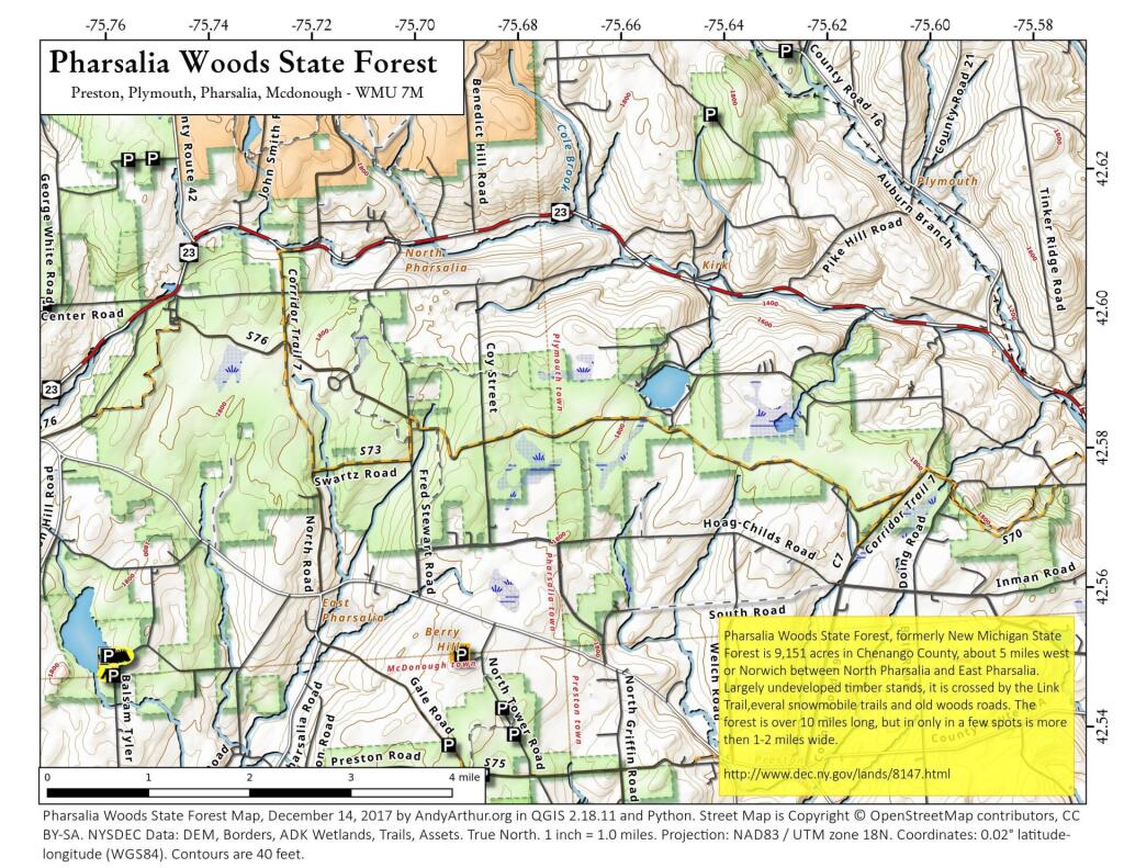
Chenango County is in the approximate center of the state, west of Albany, north of Binghamton, and southeast of Syracuse. The county is considered to be in the Southern Tier region of New York State.
According to the U.S. Census Bureau, the county has a total area of 899 square miles (2,328.4 km2), of which 894 square miles (2,315.4 km2) is land and 4 square miles (10.4 km2) (0.48%) is water.[2]

The Chenango River, a tributary of the Susquehanna River flows southward through the county.

http://en.wikipedia.org/wiki/Chenango_County,_New_York

Sherburne

Sherburne

Looking north over Sherburne, with Charles Baker State Forest in the northwest corner.

Skinner Hill State Forest

Skinner Hill State Forest

42.630174904557755,-75.39058713091535
Skinner Hill State Forest (Chenango Reforestation Area #8), located at the junction of the towns of Sherburne, Columbus, and New Berlin, is an oddly shaped forest located on old farm lands once plowed by its namesake, the Skinner family. Across its 1,666 acres you will find a mixture of Spruce and Pine Plantations, natural growing Hardwoods, open fields, and wetland areas.

https://andyarthur.org/skinner-hill-state-forest
https://www.dec.ny.gov/lands/8120.html

Land Use Around Norwich

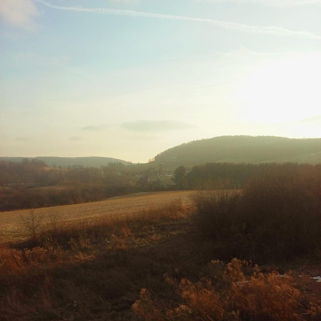
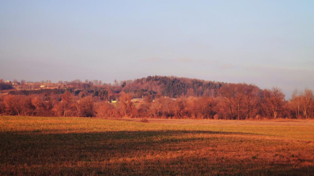
Chenango County is known for it's rural nature and it's dairy farms, but outside of the river valleys, much of the upland is not used for crop production but instead forages like hay and grazing. While the valleys are quite agricultural, the hills tend to be wooded or grazing lands.