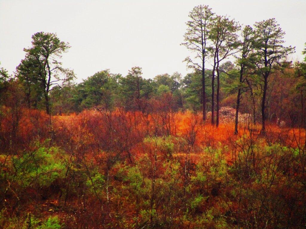
Albany Pine Bush
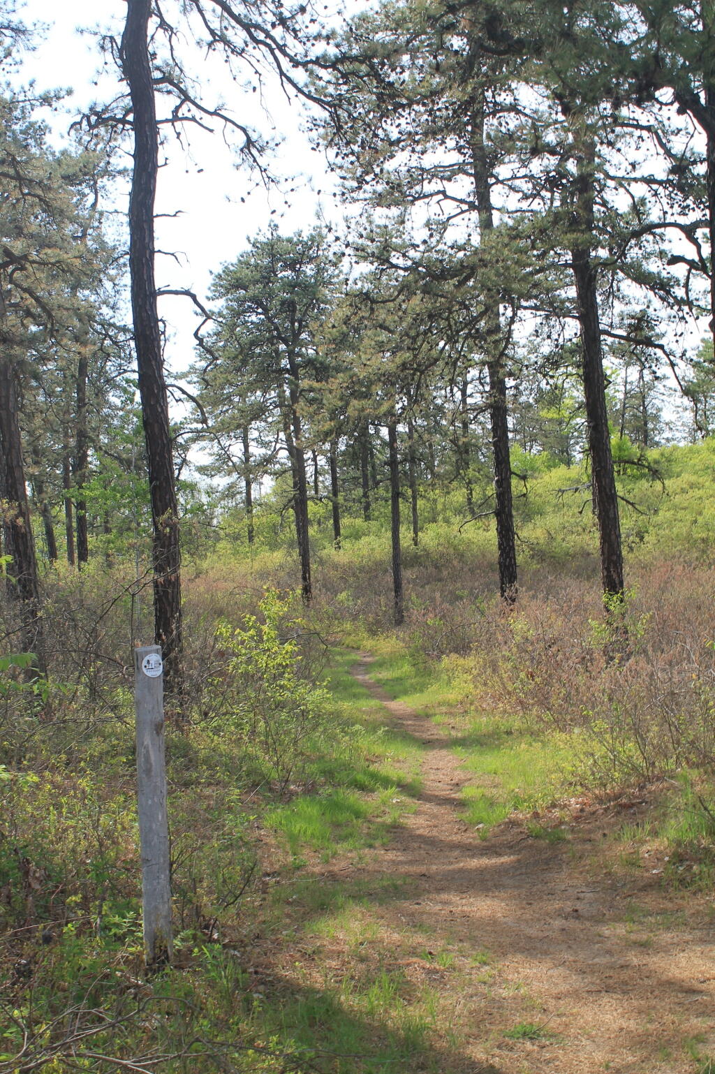
Beautiful Spring Day at the Albany Pine Bush
During the Lupine Festival, I went for a walk for a while enjoying the beautiful Albany Pine Bush in the spring time.
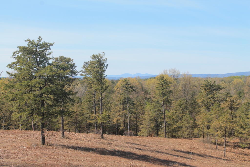
From Overlook Dune
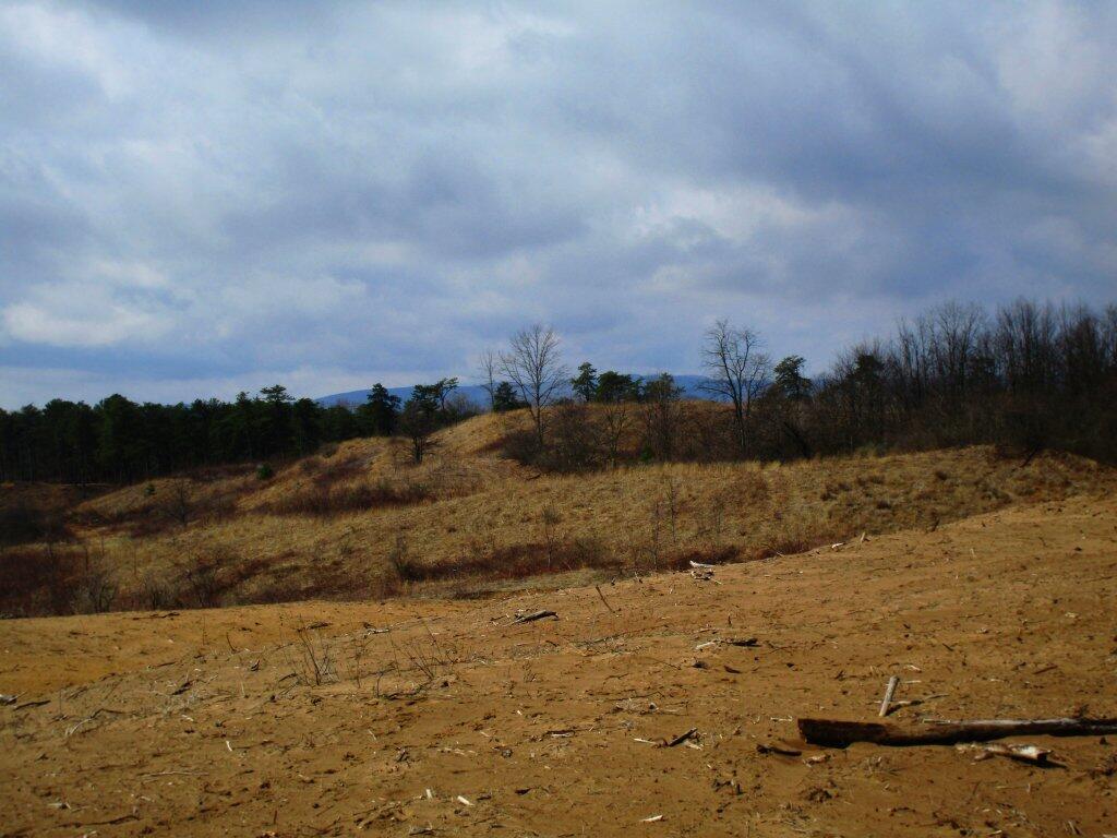
Dune
Looking out over one of the dunes.
Taken on Thursday April 30, 2020 at Albany Pine Bush.Sand Swept
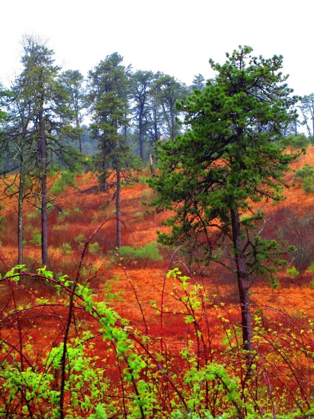
Rainy Spring Day
Kind of a rainy spring day but the Pine Bush was full of color.
Taken on Thursday April 30, 2020 at Albany Pine Bush.Karner East 10 Foot Elevation
This map shows highly detailed contours for the East Barrens of the Albany Pine Bush.
Data Source: NYS GIS Program Office. NYS LIDAR Coverage. http://gis.ny.gov/elevation/lidar-coverage.htm
