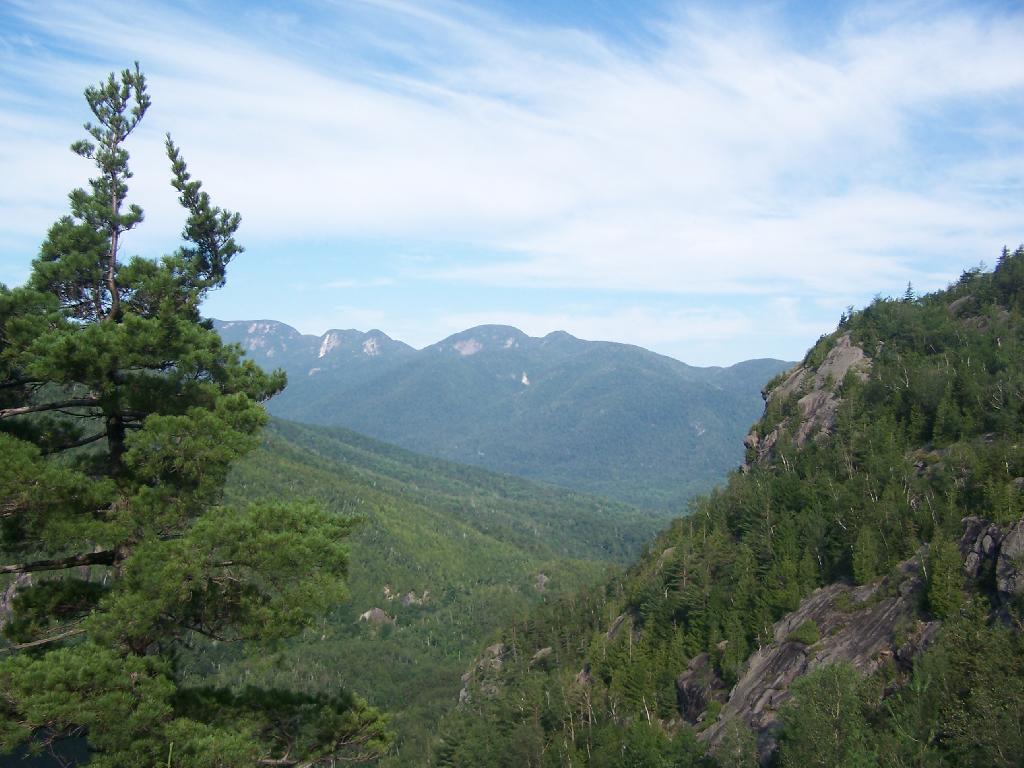
Adirondacks
Backcountry Information for the West Central Adirondacks – NYS Dept. of Environmental Conservation
DEC intends to open the Limekiln Lake-Cedar River Road (aka Moose River Plains Road) on the Wednesday prior to Memorial Day weekend depending on the weather and the ability to repair and rehabilitate the road. (5/15)
The Cedar River Flow Road is open to public motor vehicle use. (5/15)
The primitive tent sites around Cedar River Flow are open and can be accessed by the public. (5/15)
Rock Dam Road will remain closed to public motor vehicle use until further notice. (5/15)
Due to a large washout beyond Otter Brook Gate, Indian Lake Road will remain closed to public motor vehicle use. (5/15)
Highest Peaks in the Adirondack Park.
This is a list of the highest peaks in each Adirondack Park Unit.
| Peak | State Land | Feet |
|---|---|---|
| Mount Marcy | High Peaks Wilderness | 5304 |
| Whiteface Mountain | Whiteface Mountain Ski Center | 4808 |
| Giant Mountain | Giant Mountain Wilderness | 4625 |
| Esther Mountain | Wilmington Wild Forest | 4241 |
| Kilburn Mountain | Sentinel Range Wilderness | 3877 |
| Lyon Mountain | Chazy Highlands Wild Forest | 3828 |
| Blue Mountain | Blue Mountain Wild Forest | 3749 |
| Wakely Mountain | Wakely Mountain Primitive Area | 3749 |
| Hurricane Mountain | Hurricane Mountain Wilderness | 3677 |
| Lewey Mountain | West Canada Lake Wilderness | 3664 |
| Saddleback Mountain | Jay Mountain Wilderness | 3549 |
| Puffer Mountain | Siamese Ponds Wilderness | 3437 |
| Cellar Mountain | Moose River Plains Wild Forest | 3405 |
| Vanderwhacker Mountain | Vanderwhacker Mountain Wild Forest | 3388 |
| Metcalf Mountain | Blue Ridge Wilderness | 3303 |
| Gore Mountain | Gore Mountain Ski Center | 3198 |
| West Canada Mountain | West Canada Mountain Primitive Area | 2988 |
| West Mountain | Pigeon Lake Wilderness | 2922 |
| Crane Mountain | Wilcox Lake Wild Forest | 2850 |
| Saint Regis Mountain | Saint Regis Mountain Fire Tower Historic Area | 2837 |
| Kate Mountain | Debar Mountain Wild Forest | 2831 |
| Little Blue Mountain | Sargent Ponds Wild Forest | 2795 |
| Potash Mountain | Jessup River Wild Forest | 2647 |
| Black Mountain | Lake George Wild Forest | 2640 |
| Mount Whitney | Saranac Lakes Wild Forest | 2637 |
| Arab Mountain | Horseshoe Lake Wild Forest | 2532 |
| Starbuck Mountain | Hudson Gorge Wilderness | 2532 |
| Pharaoh Mountain | Pharaoh Lake Wilderness | 2532 |
| Polaris Mountain | Polaris Mountain Primitive Area | 2506 |
| Bear Mountain | Cranberry Lake Wild Forest | 2496 |
| Baxter Mountain | Hammond Pond Wild Forest | 2424 |
| Wolf Mountain | Five Ponds Wilderness | 2401 |
| Bottle Mountain | Fulton Chain Wild Forest | 2371 |
| Tolman Mountain | Taylor Pond Wild Forest | 2368 |
| Woodhull Mountain | Black River Wild Forest | 2358 |
| Long Pond Mountain | Saint Regis Canoe Area | 2345 |
| Antediluvian Mountain | William C. Whitney Wilderness | 2312 |
| Moose River Mountain | Ha-De-Ron-Dah Wilderness | 2207 |
| Terry Mountain | Terry Mountain State Forest | 2060 |
| Prospect Mountain | Prospect Mountain Parkway | 2017 |
| Thomas Mountain | Hudson River Special Management Area | 1938 |
| Tooley Pond Mountain | Grass River Wild Forest | 1781 |
| Huckleberry Mountain | Unclassified | 1729 |
| First Brother | First Brother Primitive Area | 1666 |
| Mount Tom | Independence River Wild Forest | 1597 |
| Burnt Hill | Burnt Hill State Forest | 1502 |
| Split Rock Mountain | Split Rock Wild Forest | 1033 |
North Along NY 10
Almost a Full Moon
Minor earthquake shakes southern Adirondacks early Saturday morning | NCPR News
A minor earthquake shook the southern Adirondacks over the weekend. The 1.8 magnitude quake hit near North Creek in Warren County around 3 a.m. Saturday.
Residents in both North Creek and Johnsburg reported feeling the quake to the US Geological Survey.
While earthquakes are less frequent in the Eastern US compared to west of the Rocky Mountains, the Adirondack Park is one of the more seismically active regions in the Northeast.


