Good morning! Yeah, it’s the Friday when Vacation Starts! 🏖 Four weeks to Labor DayWeekend Begins 👨🏭. Rain showers and 61 degrees in Delmar, NY. ☔ Calm wind. The dew point is 57 degrees. The skies will clear tomorrow around noontime.
Working from home a while this morning 💻 then I’ll run to the laundromat and do my wash and work from my truck there. 👖 I have quite a bit of loose ends to tie up ➿ for work before I leave for vacation. I am still thinking about leaving tonight ⛺ but plans could change if it looks like it’s going to be a very wet evening. In the afternoon I actually want to be home while I work as I often remember 🤔things to pack or do while I’m working from home.
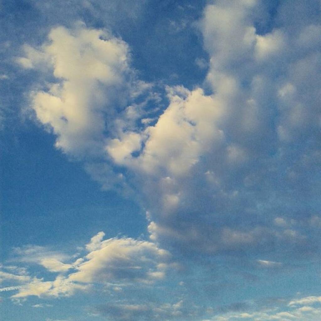
Times of rain today and mostly cloudy 🌦, with a high of 77 degrees at 3pm. Five degrees below normal, which is similar to a typical day around September 1st. Maximum dew point of 64 at 6pm. Light and variable wind becoming east around 5 mph in the afternoon. Chance of precipitation is 50%. New precipitation amounts of less than a tenth of an inch possible. A year ago, we had partly cloudy skies in the morning, which became partly cloudy by afternoon. It was sticky. The high last year was 84 degrees. The record high of 102 was set in 1918.
Solar noon 🌞 is at 1:02 pm with sun having an altitude of 63.6° from the due south horizon (-7.2° vs. 6/21). A six foot person will cast a 3 foot shadow today compared to 2.2 feet on the first day of summer. The golden hour 🏅 starts at 7:30 pm with the sun in the west-northwest (287°). 📸 The sunset is in the west-northwest (293°) with the sun dropping below the horizon at 8:09 pm after setting for 3 minutes and 8 seconds with dusk around 8:38 pm, which is one minute and 18 seconds earlier than yesterday. 🌇 The best time to look at the stars is after 9:19 pm. At sunset, look for thunderstorms 🌩 and temperatures around 72 degrees. The dew point will be 64 degrees. There will be a north-northeast breeze at 5 mph. Today will have 14 hours and 13 minutes of daytime, a decrease of 2 minutes and 21 seconds over yesterday.
Tonight will have a chance of showers and thunderstorms. Mostly cloudy 🌧, with a low of 64 degrees at 5am. Three degrees above normal. Maximum dew point of 65 at 10pm. Northeast wind around 5 mph becoming calm in the evening. Chance of precipitation is 40%. New rainfall amounts between a tenth and quarter of an inch, except higher amounts possible in thunderstorms. In 2019, we had mostly clear skies. It was humid. It got down to 67 degrees. The record low of 46 occurred back in 1948.
Tomorrow will have a slight chance of showers, with thunderstorms also possible after 9am. Partly sunny 🌤️, with a high of 83 degrees at 4pm. One degree above normal, which is similar to a typical day around July 26th. Maximum dew point of 67 at 11am. Light and variable wind. Chance of precipitation is 20%. A year ago, we had partly cloudy skies in the morning, which became partly cloudy by afternoon. It was sticky. The high last year was 84 degrees. The record high of 95 was set in 1983.
Looking ahead to Sunday, mostly sunny, with a high near 86. 🌞Calm wind becoming west around 5 mph in the afternoon. Maximum dew point of 66 at 9am. Typical average high for the weekend is 82 degrees. Should be a nice day on Sunday but I think I’ll stay away from the parks 👨👨👧👦 as I don’t want to deal with crowds or limited parking 🅿 during the pandemic.
Looking ahead, there are 4 weeks until Labor Day Weekend Begins 👨🏭 when the sun will be setting at 7:24 pm with dusk at 7:52 pm. On that day in 2019, we had thunderstorm and temperatures between 80 and 59 degrees. Typically, the high temperature is 77 degrees. We hit a record high of 97 back in 1929.