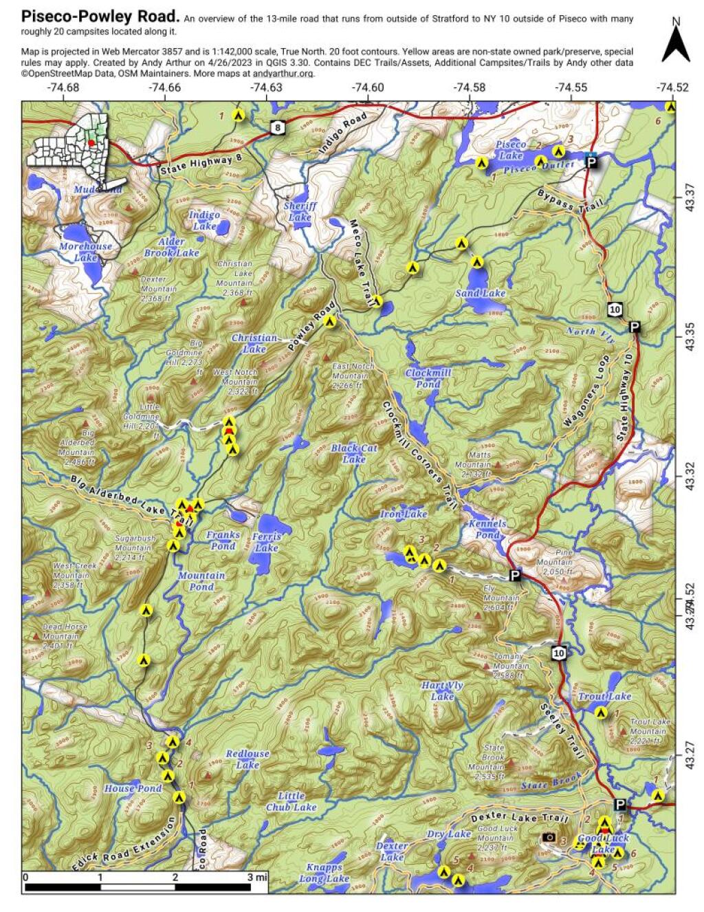
Overview Map Piseco-Powley Road
This Overview Map of Piseco-Powley Road shows the campsites along the road, along with major trails and destinations along the road.
Before Mount Storm Lake
The Davis and Cumberland Topographic Maps of 1921 show what area was like before the Mount Storm Coal Fired Power Plant and the Mount Storm Reservoir. The area was mostly wilderness, with a smaller now defunct reservoir further upstream.
South
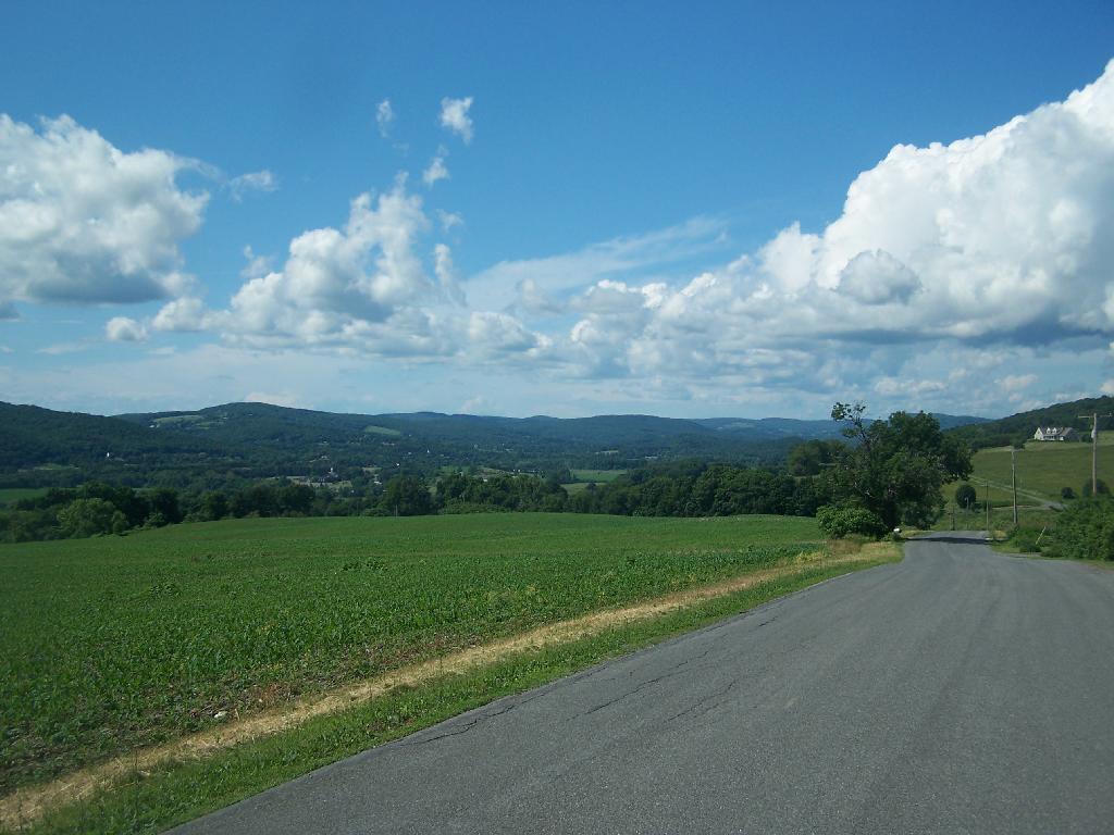
Copake Valley
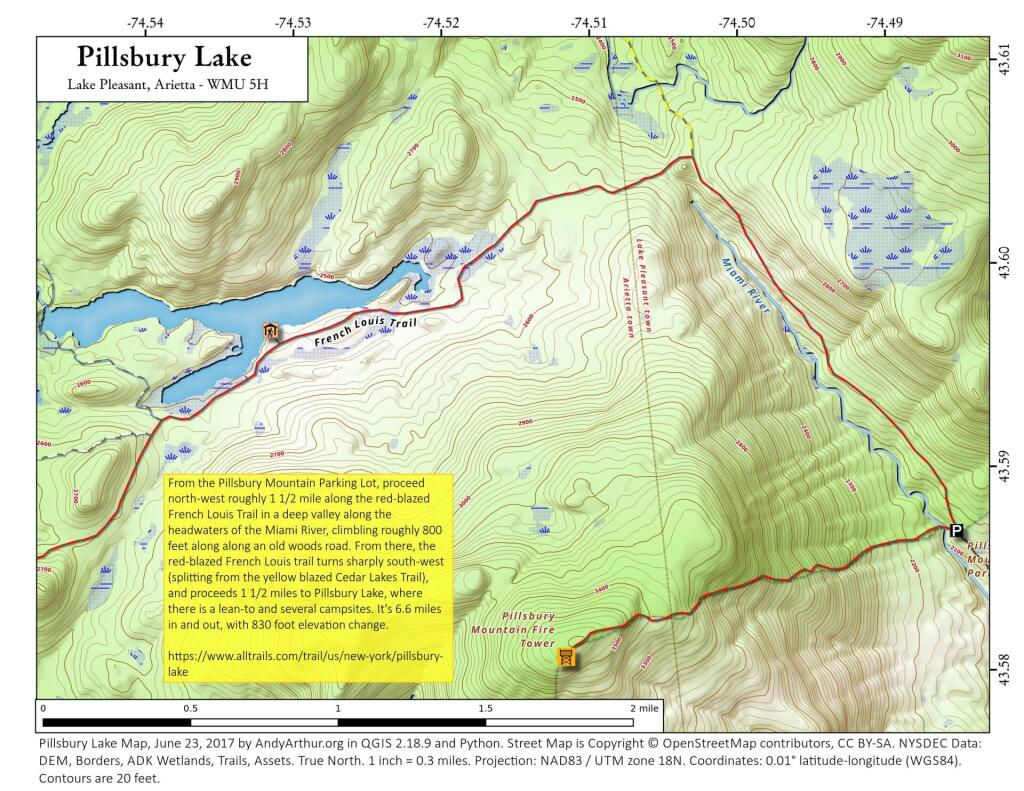
Pillsbury Lake
Crossing Long Lake
Driving up to Horseshoe Pond on a beautiful Monday morning bright and early.
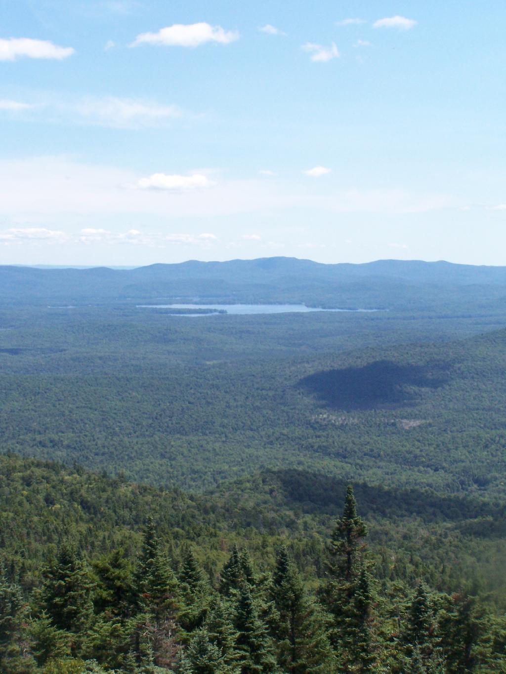
Taken on Thursday June 25, 2020 at Hamilton County.