ArduinoSimulator is an open-source Arduino Simulator that runs in your web browser – CNX Software
Shut down Seneca Meadows, NY’s largest landfill
Dolly Sods Wilderness – Backcountry Campsites
Interactive map of various campsites, shelters, scenic vistas and observation towers that I created by a mix of heads up digitizing and querying the OpenStreetMap for West Virginia. The heads up digitizing is a bit rough as it is based on memory and I don't get to West Virginia all that often.
Some of this data is ©️ OpenStreet Map Contributors, Open Data Commons Open Database License (ODbL).
Sunlight Filters Through Ice Covered Trees
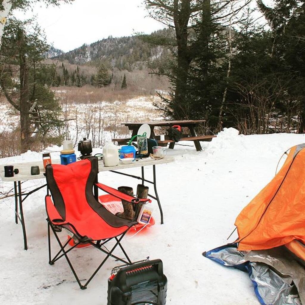
Warming my feet
Fort Seybert
Good farmland is relatively uncommon in Northern West Virginia. But there is an exception around the valley in Fort Seybert.


