The Magnificent Mile at Little Falls | My Little Falls
When it comes right down to it, Little Falls is all about water.
The earliest explorers in America found it easiest to move along the waterways and rivers as did the Native Americans living here. In the 1600s and 1700s, the British colonies extended inward from the Atlantic Ocean to the Appalachian Mountains. The rivers there flowed down from the eastern slopes of the mountains to the Atlantic Ocean. On the western side of these mountains, the streams and rivers ran down to the Ohio and Tennessee Rivers on their way to the Mississippi River and eventually out to the Gulf of Mexico. Crossing these mountains, which stretched 1,200 miles from Montreal to Georgia, was arduous, and crossing by a continuous water route was impossible except for one place.
That single place is the Mohawk River which cuts a narrow corridor between the Adirondack and Catskill mountains, both of which are a part of the Appalachian chain. Once through the Mohawk Valley via its river, explorers and travelers could continue into the interior of the country through the Great Lakes or other nearby waters routes. Little Falls is on the Mohawk River.
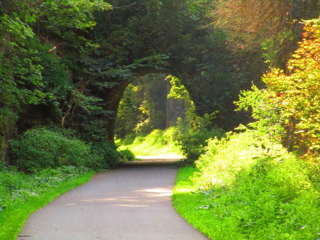
Danube Street Tunnel
Always one of the most enhancing spots along the Erie Canalway in Little Falls.
Taken on Sunday August 20, 2023 at Little Falls.14 Surprising Facts About Growing Older No One Ever Told You
Active LP (Propane) Storage Wells In New York State
There are currently two areas in the Finger Lakes that are used for underground propane (LP gas) storage. They are Bath Petroleum Storage, owned by Finger Lakes LPG Storage, LLC between Campbell and Bath, and Harford Propane Storage owned by Enterprise Products Operating LLC outside of Hartford (south of Dryden) in Cortland County.
The existing LP storage facilities in our state don't get a lot of attention, as they are located in remote parts of the state, not necessarily known for their unique scenic beauty. But they are interesting facilities, and I encourage you to turn on the satellite view, zoom in, explore these wells and well data carefully.
If you are not seeing the wells, try zooming out one level first. Sometimes Google Maps over-zooms this map.
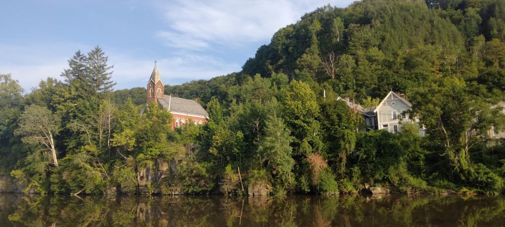
Church on Rollaway
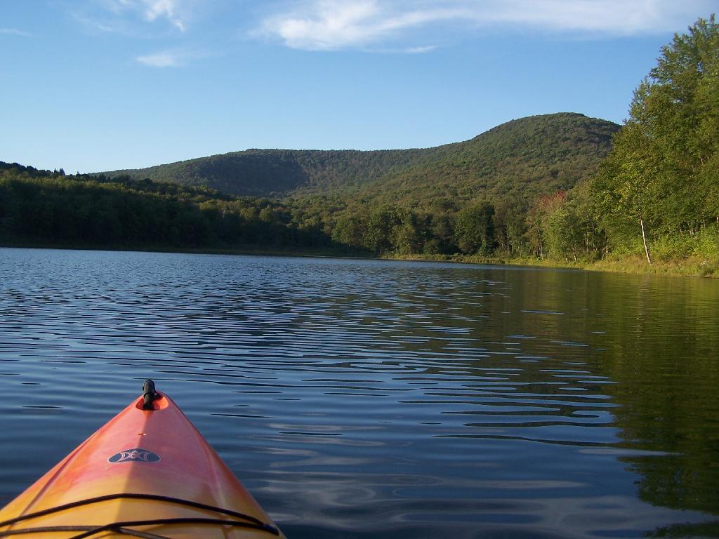
Paddling
The mountain in the background is Barkaboom Mountain. The place I camped was on the shore a little ways from here.
Taken on Saturday August 28, 2010 at Big Pond.


