Probe Requested For Alleged Fake Document Submitted To IDA
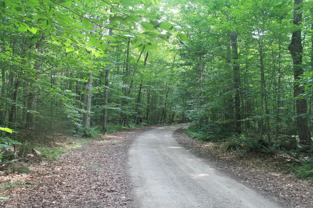
Winding Over the Ridge
There are many ridges and hills, along with low lands and swamps on this town-owned land.
Taken on Wednesday July 19, 2023 at Normanskill Ravines Park.Muddy Normans Kill
Normans Kill Ravine Park
The Normans Kill Ravines Park's address is 70 Wright Lane in Delmar, off Adams Place near the Four Corners. It is home to a rough 3.5 mile mountain bike trail that traverses up and down several ridges and swampy areas and follows roughly 250 feet of the Normans Kill. You should plan on at least 1 1/2 hours to hike this trail, as many of the inner connections (shortcut) trails are overgrown and unmarked, while the outer trail is designated "one way" and blazed only in the clockwise fashion (north -> east -> south -> west -> south).
https://www.townofbethlehem.org/893/Normans-Kill-Ravines-Park
http://walkingman247.blogspot.com/2021/06/normans-kill-ravines-parkdelmar-town-of.html
https://www.alltrails.com/trail/us/new-york/normans-kill-ravines-full-loop-trail
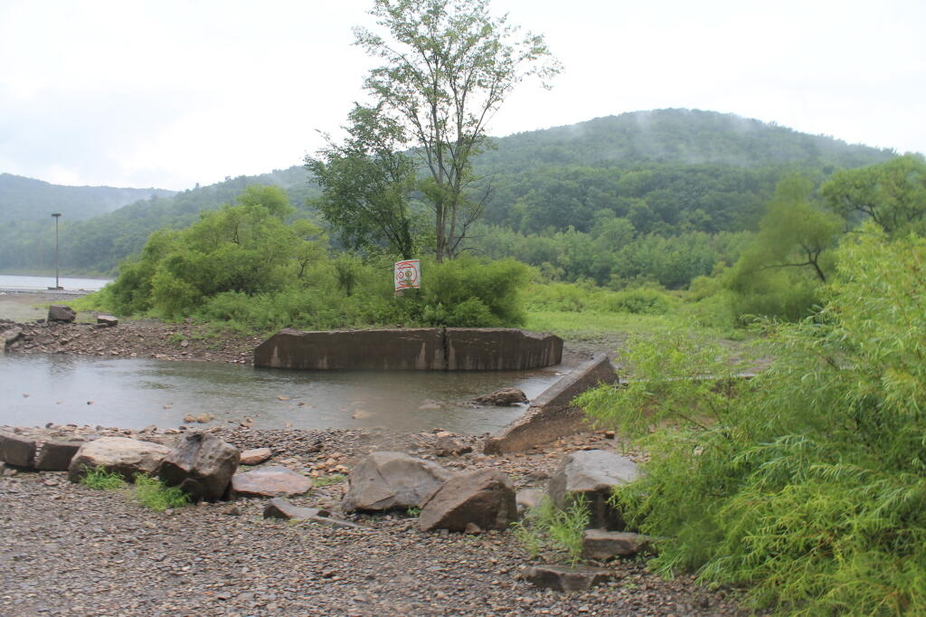
Old Pre-Reservior Bridge
Where Sugar Run Road / PA 321 once ran, years ago.
Taken on Saturday July 28, 2012 at Allegheny National Forest.Otter Brook Swamp
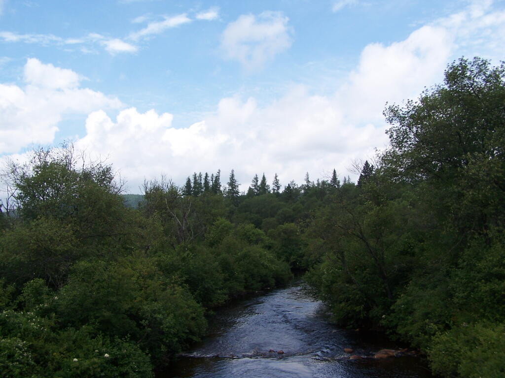
This is at trail head to Beaver Lake, a little bit above where the Otter Brook joins the Southern Branch of the Moose River.
Taken on Saturday July 24, 2010 at Moose River Plains.


