In Johnson County, biologists are poisoning trees to save birds and butterflies | KMUW
Albany Pine Bush Blueberry Hill Barrens
I made this interactive 3D map of Albany Pine Bush using LiDAR digital surface model, Open Street Map and NYSERDA Buildings of the Albany Pine Bush Blueberry Hill Barrens.
This was created with Qgis2threejs. For building heights I used OpenStreetMap, either the building height in meters or the floors times 4.3 meters. For buildings without a height, I used 8 meters. The landfill and sand dunes are from Digital Terrian Model DEMs from NYGIS.
The Plastic Industry’s Long Fight to Blame Pollution on You
Plastic production really began in earnest in the 1950s. It’s hard to remember, but we once got along without it. Of course, plastic offered great convenience, and its production skyrocketed. In 1967, when Dustin Hoffman was advised to go into plastics “The Graduate,” there were 25 million tons of plastic produced. These days, we’re making 300 million tons. At this point, the plastics industry is worth $4 trillion and almost half of what it's producing is single-use plastics — things that will be used once and almost instantly become trash.
Public outrage at this problem erupted in 1970, with the first Earth Day, and the industry has been successfully dodging the issue ever since. Through advertising, public outreach campaigns, lobbying, and partnerships with non-profits designed to seem “green,” plastics industry organizations have been blaming “litterbugs” for the growing menace and promoting the idea of recycling as the solution, while at the same time fighting every serious attempt to limit plastic production.
The Golden Road Brought “Tectonic Change” to the Maine Woods | Down East Magazine
Broad, perfectly crowned, elegantly graded, and topped in crushed stone, the Golden Road is an expressway of a logging road, with nary a 10-degree turn along its 96 miles. After arcing northwest from Millinocket to the southern edge of Baxter State Park, it runs alongside the West Branch of the Penobscot, past Chesuncook Lake, then follows the North Branch to the border with Quebec at Saint-Zacharie. It’s a key artery in what’s likely the nation’s largest private-road system, offering easy access to Maine’s north woods to anyone with even a decent sedan.
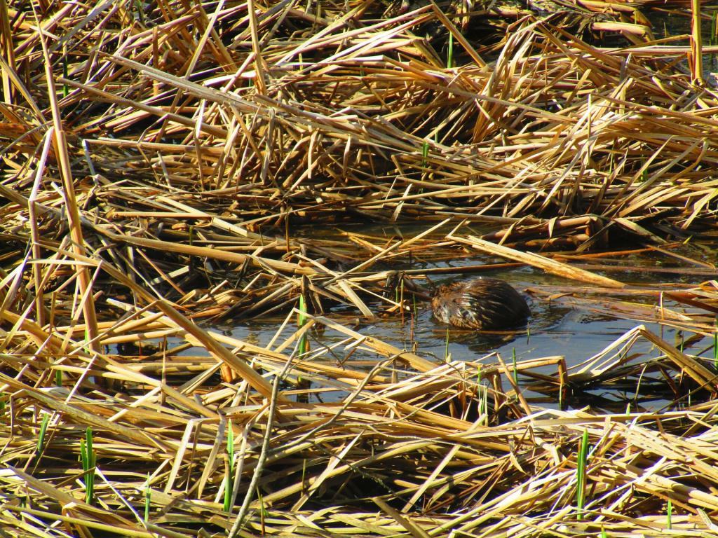
Muskrat
We at least his butt as he plunging under water by the time the camera focused.
Taken on Sunday April 11, 2021 at Five Rivers Environmental Education Center.Sheely Mountain
Puddle Created By ATVs
Tearing it up a little in Berlin Pass. Good for them.
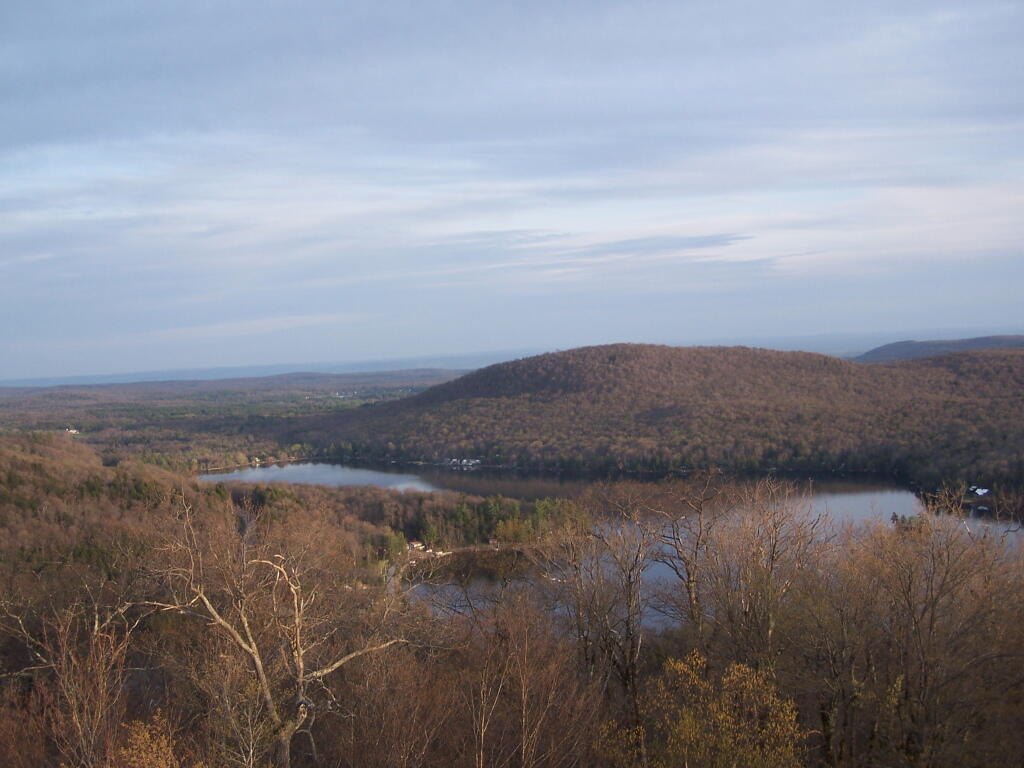
Taken on Saturday April 25, 2009 at Taconic Crest Trail.

