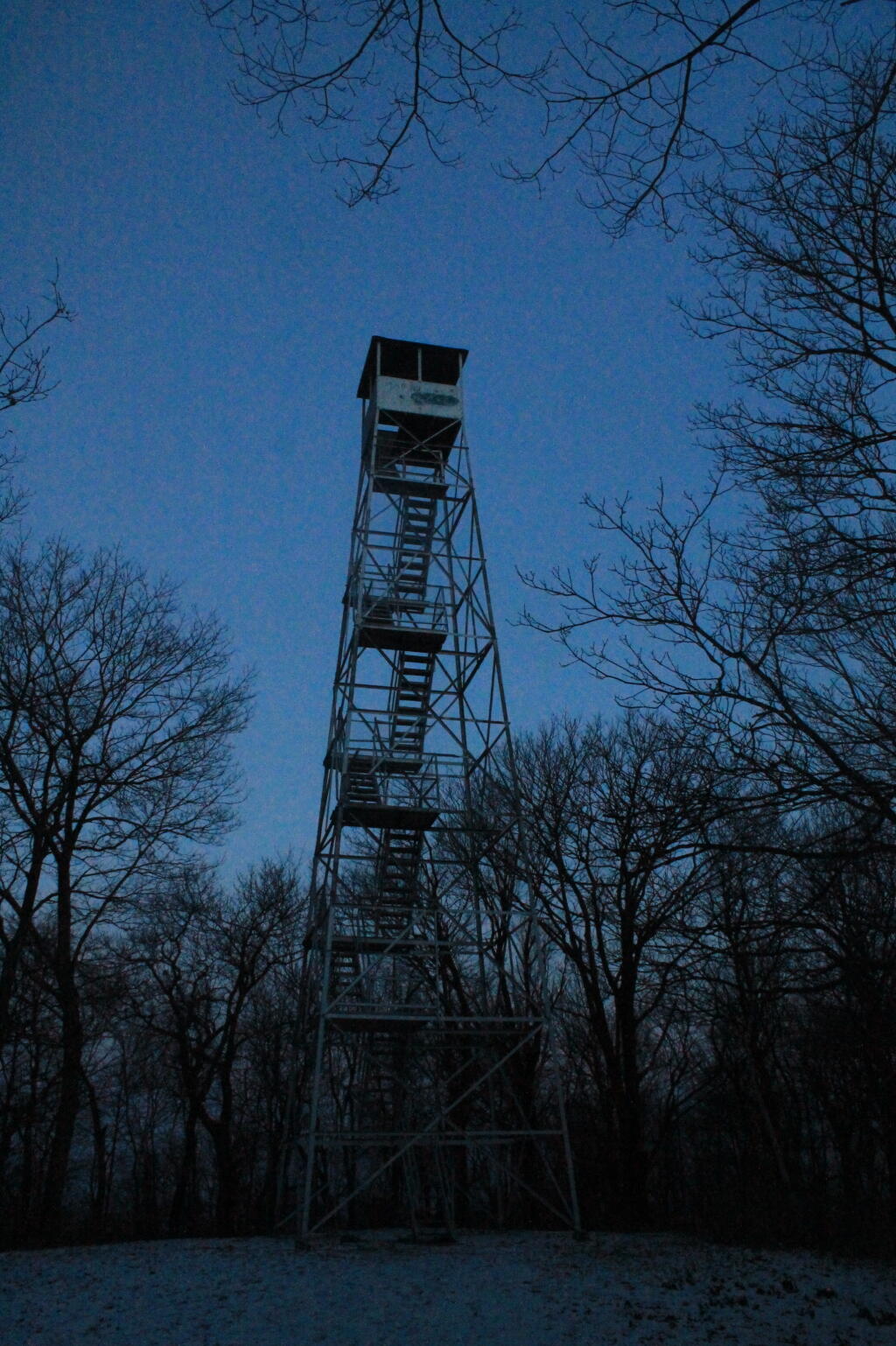
| Tower | State Land | Notes | Coordinates |
| Azure Mtn. Fire Tower | Debar Mountain Wild Forest | Relatively short hike. | 44.5412601955876,
-74.5007131438668 |
| Balsam Lake Mountain | Balsam Lake Mountain Wild Forest | Longer hike along old road. | 42.0453530369935,
-74.5943882522534 |
| Belfry Mountain Fire Tower | Hammond Pond Wild Forest | Very short hike up dirt road. | 44.0977783227959,
-73.5480575565177 |
| Berry Hill Firetower | Mcdonough State Forest | Only up to second level is open, no upper level access. | 42.5498033738312,
-75.6903147862666 |
| Black Mountain Fire Tower | Lake George Wild Forest | Longer hike up a snowmobile trail. | 43.6068253423597,
-73.5315598873687 |
| Blue Mountain Fire Tower | Blue Mountain Wild Forest | Very popular, worn-down trail. | 43.8722986188442,
-74.4007350580445 |
Lowville Demostration Area
Fire Tower | Lowville Demonstration Area | No access to tower, part of demonstration forest. | 43.8093267984132,
-75.4730800808841 |
| Goodnow Mountain Fire Tower | Suny Esf Lands | Open to public, SUNY ESF Lands | 43.9598725064095,
-74.2096091339017 |
| Hadley Mountain Fire Tower | Wilcox Lake Wild Forest | Popular hike in Southern Adirondacks. | 43.3769100935034,
-73.9709647959219 |
| Hunter Mountain Fire Tower | Hunter-West Kill Wilderness | Multiple approaches to this fire tower offer different hikes with different amounts of work. | 42.1779299997605,
-74.2297619994181 |
| Hurricane Mountain Firetower | Hurricane Mountain Primitive Area | The only fire tower remaining in the Adirondack High Peaks. | 44.2352949729449,
-73.7101070215222 |
| Kane Mountain | Shaker Mountain Wild Forest | Short hike near Caroga Lake. | 43.1810788942093,
-74.5151618559196 |
| Beebe Hill Fire Tower | Beebe Hill State Forest | Shorter hike near Austerlitz and Massachussetts border. | 42.3361525194561,
-73.4862760091067 |
| Leonard Hill Fire Tower | Leonard Hill State Forest | You can drive to this tower. Bottom floors removed, no access to tower. | 42.4510039574136,
-74.3529141572996 |
| Lyon Mountain Fire Tower | Chazy Highlands Wild Forest | Longer hike, new trail avoids severely erroded old trail | 44.7048354583899,
-73.8627762019644 |
| Mount Adam Fire Tower | High Peaks Wilderness | Just south of main high peaks area. | 44.0874829962416,
-74.0228637207712 |
| Mount Nimham Fire Tower | Nimham Mountain Mua | Near Beacon | 41.4611546516545,
-73.72510657899 |
| Mount Tremper | Phoenicia – Mt. Tobias Wild Forest | Follow an old woods road to summit. | 42.0739476727477,
-74.2781528438603 |
| Mt Arab Fire Tower | Horseshoe Lake Wild Forest | Relatively short hike outside of Tupper Lake. | 44.2046152316571,
-74.5879293129745 |
| Overlook Mountain | Overlook Mountain Wild Forest | Popular hike outside of Woodstock, follows a gated road. | 42.085023587202,
-74.0933592964641 |
| Owls Head Firetower | Sargent Ponds Wild Forest | Moderate hike outside of Long Lake. | 43.9542904615568,
-74.4984616500416 |
| Pillsbury Mountain Fire Tower | Jessup River Wild Forest | Mile long hike to a firetower with views over Perkins Clearing and areas around Spectulator | 43.5807556043109,
-74.5118079500206 |
| Poke-O-Moonshine Fire Tower | Taylor Pond Wild Forest | New trail is less steep and follows old woods road. | 44.4019104158425,
-73.5130620065356 |
| Red Hill Fire Tower | Sundown Wild Forest | 1 mile hike to a fairly remote firetower. | 41.9238122519417,
-74.5170620256067 |
| Rondaxe Fire Tower | Fulton Chain Wild Forest | Quick hike outside of Old Forge that is very popular. | 43.7385880495938,
-74.9129188420394 |
| Roosa Gap Firetower | Roosa Gap State Forest | Firetower on the Long Path in the Shawgunks. | 41.6176280752519,
-74.4267422878805 |
| Snowy Mt | Jessup River Wild Forest | Popular hike, one of the more difficult towers to access. | 43.7003213769888,
-74.3866001142199 |
| Spruce Mountain Fire Tower | Wilcox Lake Wild Forest | Trail crosses private land, closed during hunting season. | 43.2163188109202,
-73.9061192265182 |
| St. Regis Mtn. Fire Tower | Saint Regis Canoe Area | Currently closed to public use. | 44.4085838385311,
-74.3296128971506 |
| Stillwater Mountain Fire Tower | Independence River Wild Forest | Near the Stillwater Reservior. | 43.8618343053993,
-75.033327606033 |
| Sugar Hill Fire Tower | Sugar Hill State Forest | Observation tower in Finger Lakes, during summer months you can drive to it, part of Six Nations Horse Cap. | 42.3871467022238,
-77.0025364212371 |
| Vanderwhacker Mountain Fire Tower | Vanderwhacker Mountain Wild Forest | Rough seasonal road then 2 ½ mile hike. | 43.8982271055416,
-74.0959123515681 |
| Wakely Mountain Fire Tower | Wakely Mountain Primitive Area | Near Cedar River Flow at Moose River Plains. Seasonal use road to access. | 43.7358887903725,
-74.515229327937 |
| Woodhull Mountain Fire Tower | Black River Wild Forest | One of the longer hikes, part of the trail is an old railroad grade until you climb the peak. | 43.6230161401271,
-74.9615452951445 |
