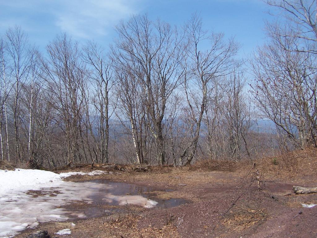
Gravel Pit on Huntersfield Mountain
This is about as far as I got up Huntersfield Mountain Road on the south-end, before parking and deciding to hike the rest of way due to the snow on the road.
Taken on Saturday April 3, 2010 at Huntersfield Mountain.
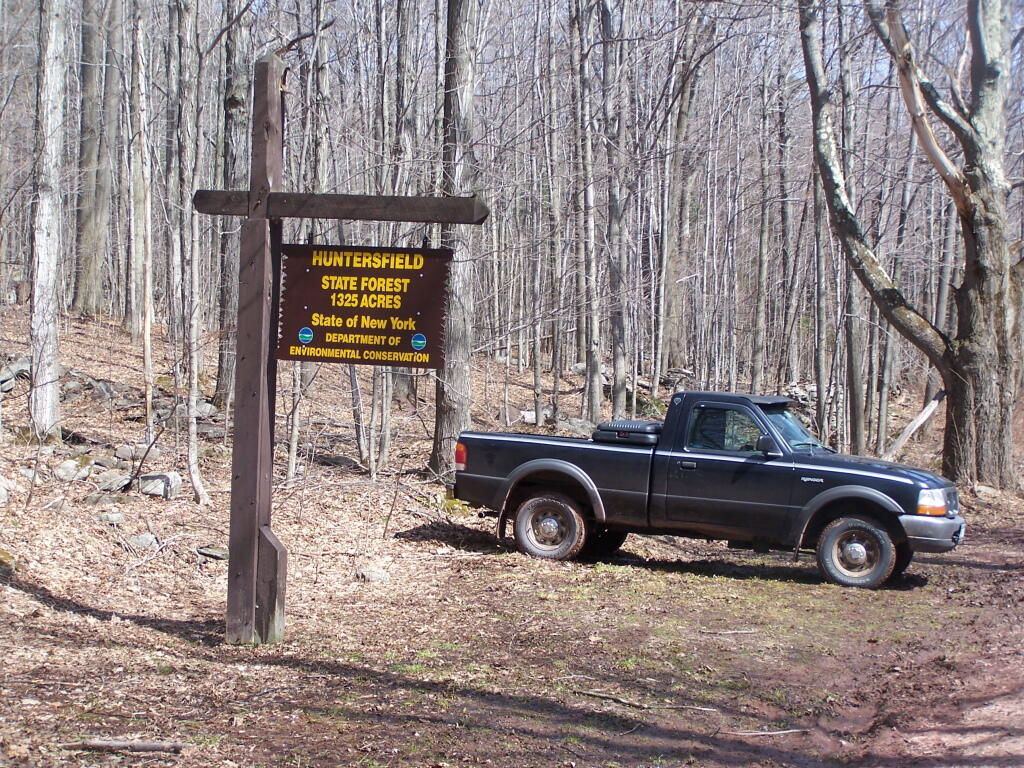
It's something you can write on your 1998 Ford Ranger.
Taken on Saturday April 3, 2010 at Burnt-Rossman State Forest.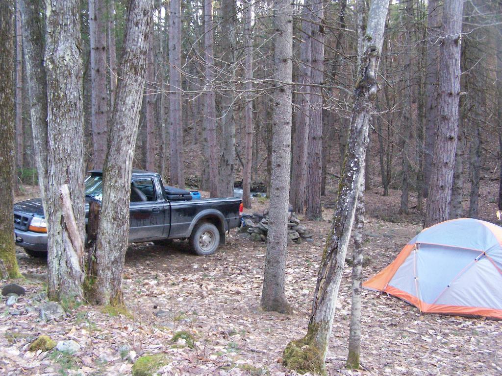
There are some 13,000 acres I could camp on here. But I love this drive-in site, that's remote but easy to get there.
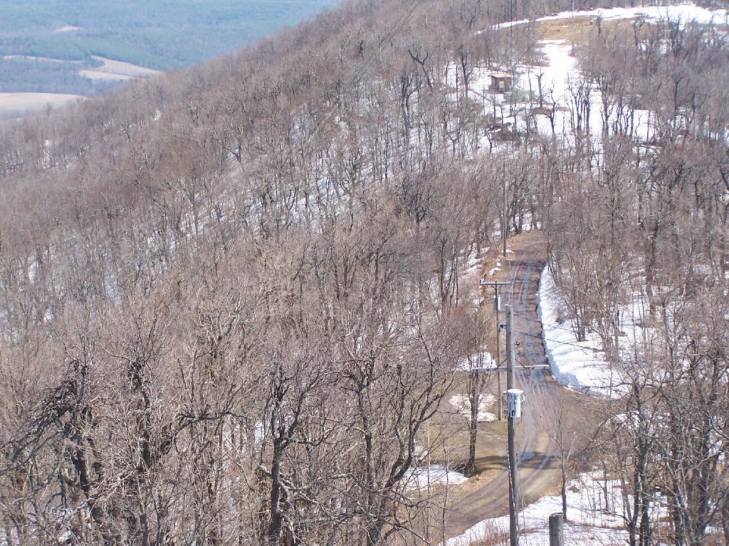
Taken on Saturday April 3, 2010 at Burnt-Rossman State Forest.Two weekends ago I was planning to go hiking up Huntersfield Mountain, but when the trail conditions and time remaining wouldn’t cooperate, I decided to head over to Mount Utsayathana in Stamford.
I fully expected to have to hike up the mountain because the steep and narrow truck trail would be unplowed, very muddy, and possibility icy. With the truck trail hanging right along the shoulder of the mountain without guard rail, you don’t want to fool around.
Quite to my surprise, it was only a little muddy up top, but the rest of the trail was dry. The top of the mountain had some snow drifts, but it had been plowed throughout the winter.
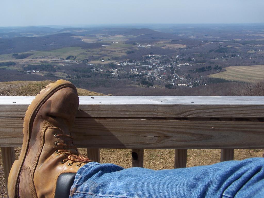
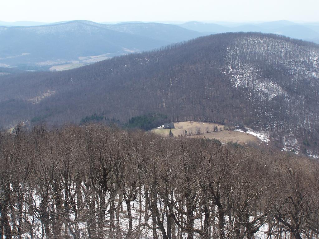
It was a beautiful early spring day out there, looking down at Stamford from the porch of the Utsayathana Mountain House. Things are starting to green up down there, and signs of spring are in the air.
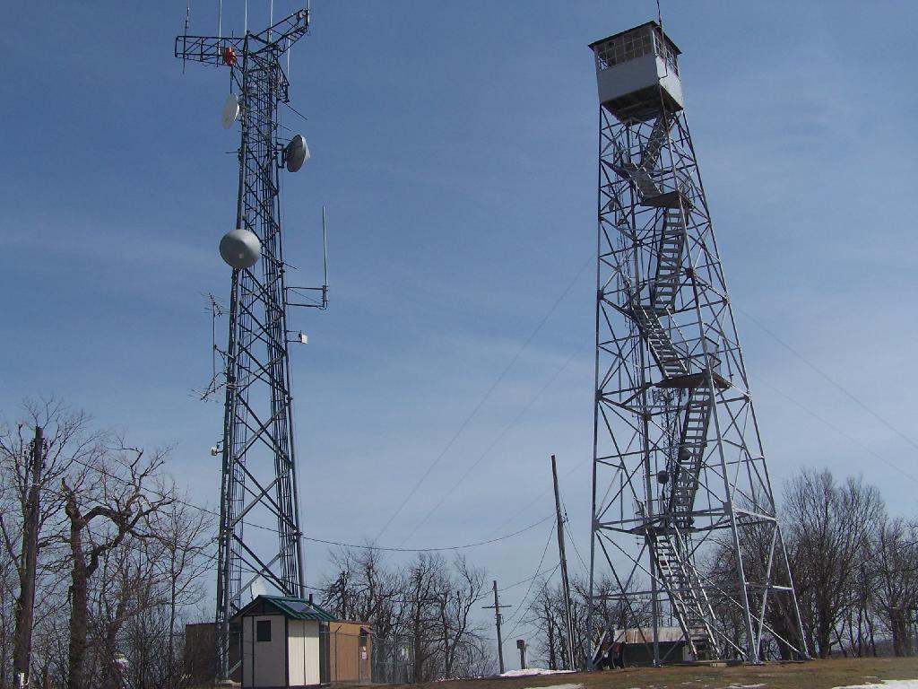
Walked over to the fire tower, and climbed on up.
View out of the Firetower windows.
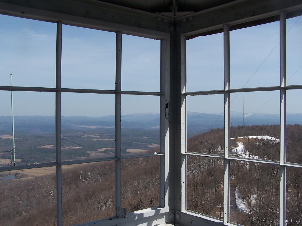
Looking East towards Huntersfield Mountain and the low lands towards Grand George.
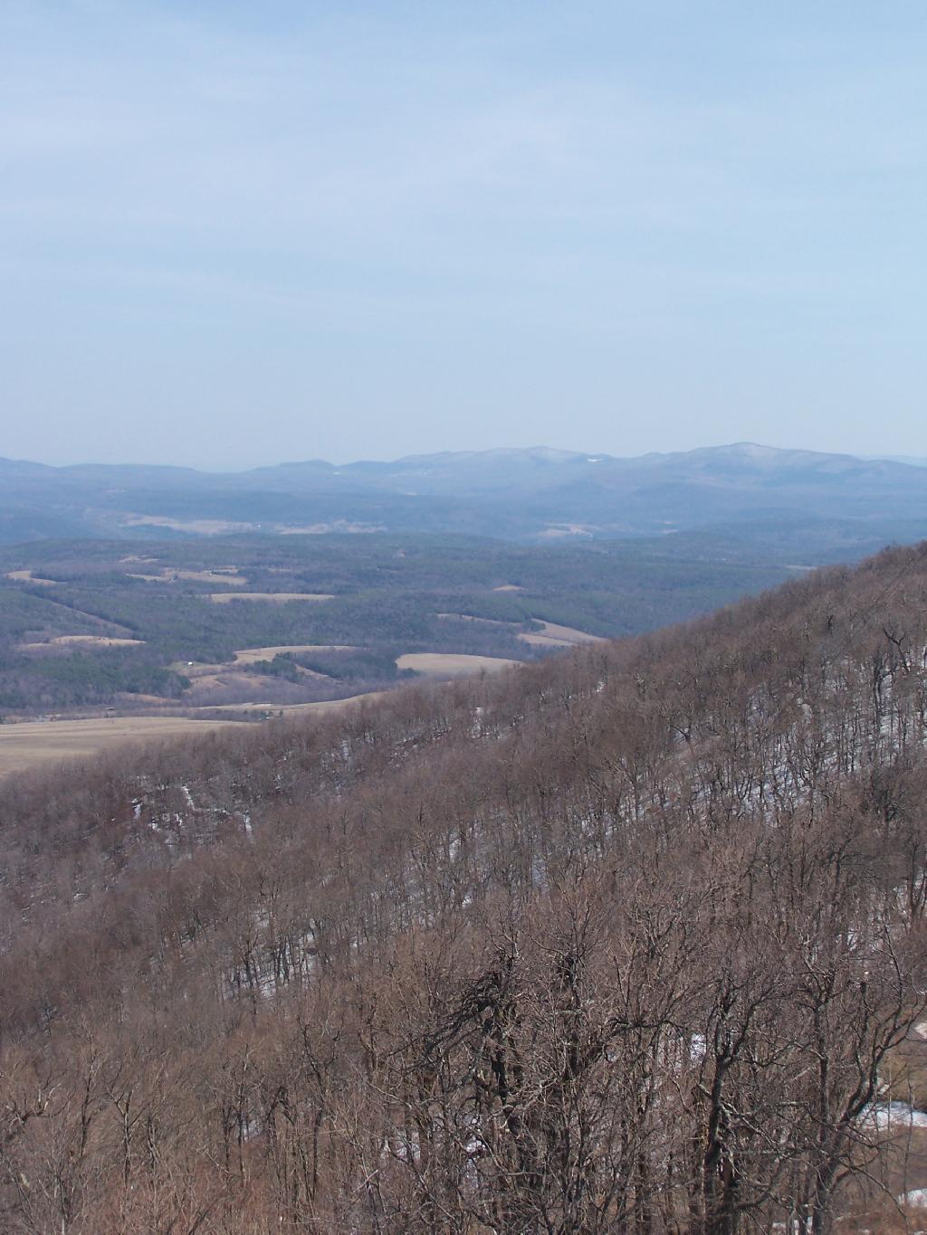
And the western mountains of the Catskills, and the deep agricultural valleys within in them.
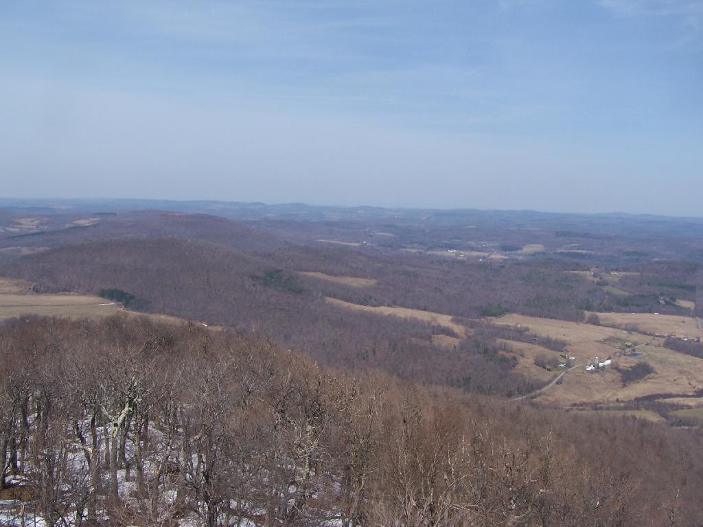
Towards the North the ridge continues on a little ways to Bald Mountain, then you get into the standard ridged landscape that covers most of Upstate New York.
Here is a map.
Do make sure to check out the same great views from when I was up there six months ago in peak folliage of October.
[nycpseries postID=”9765″]