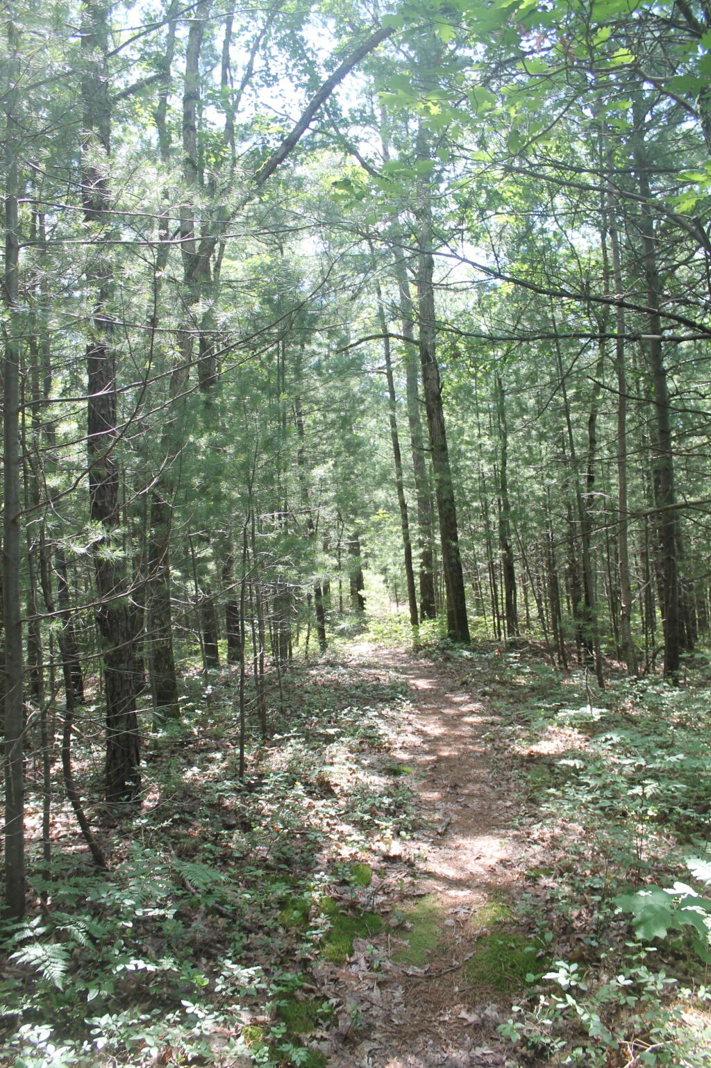
Mature Pitch Pine Along Trail

A lot of people like doing target pratice up here.
Taken on Sunday June 30, 2013 at Rome Sand Plains.
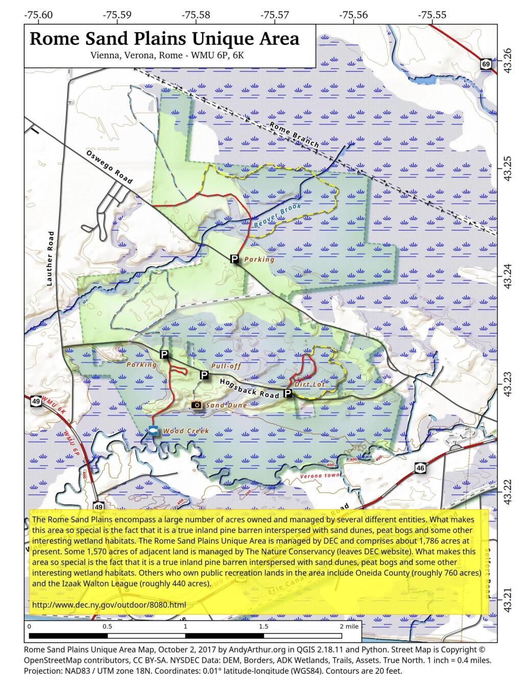
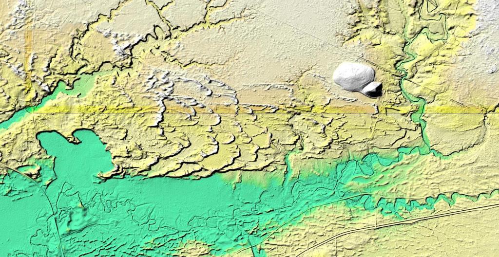
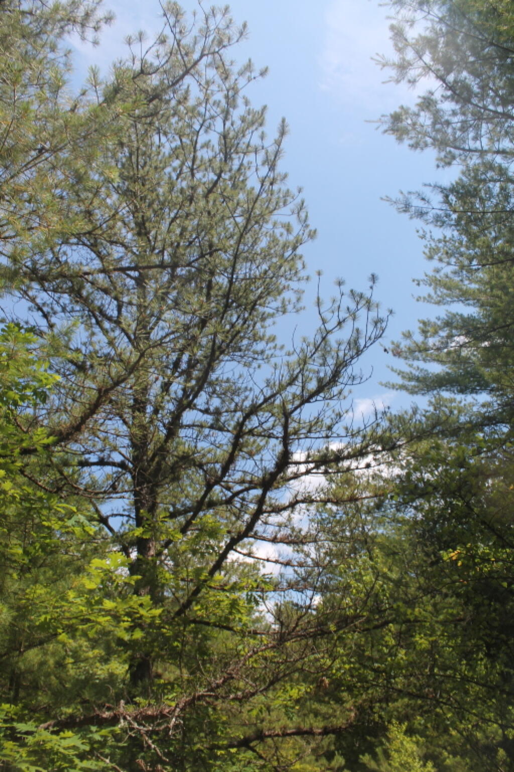
Rome Sand Plains is a 15,000-acre pine barrens about five miles west of the city center of Rome in Oneida County in central New York. It consists of a mosaic of sand dunes rising about 50 feet above low peat bogs that lie between the dunes. You can see the dunes very clearly on LIDAR.Rome Sand Plains is a 15,000-acre pine barrens about five miles west of the city center of Rome in Oneida County in central New York. It consists of a mosaic of sand dunes rising about 50 feet above low peat bogs that lie between the dunes.