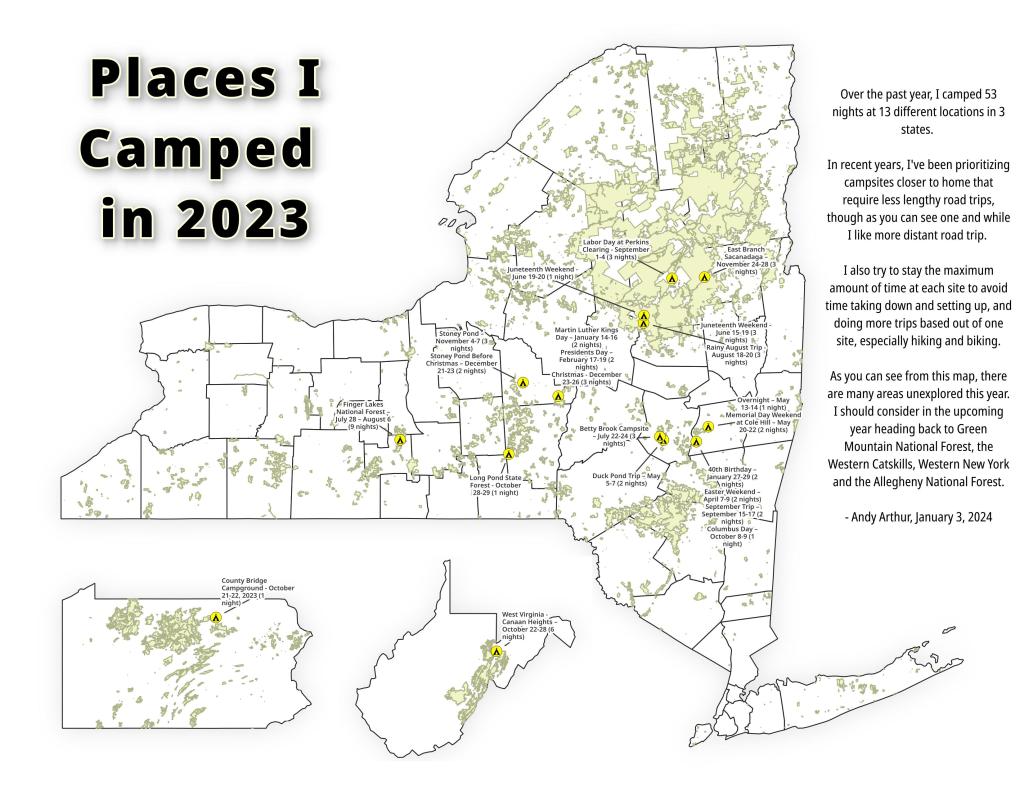
This past year I spent 37 nights camping in the wilderness 🏕
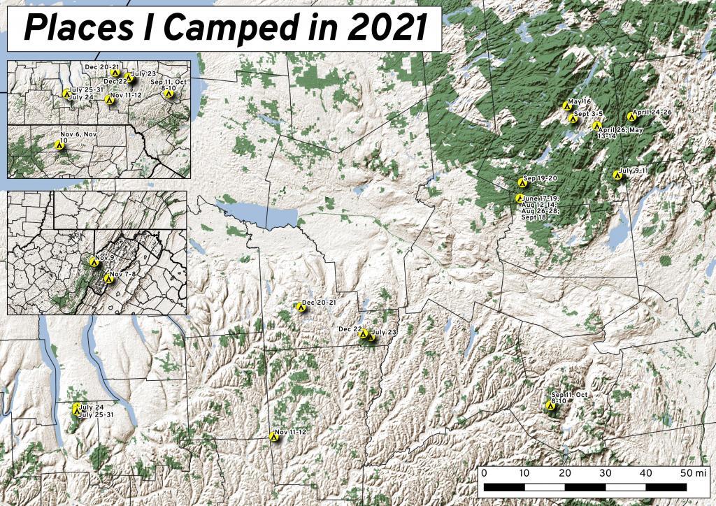
While this was less then the 63 nights I did in 2020, with remote work winding down and more in-person meetings and events happening in Albany, I ended up not getting out as much as I did the previous year. Still 37 nights camping is still a lot of time in wilderness.
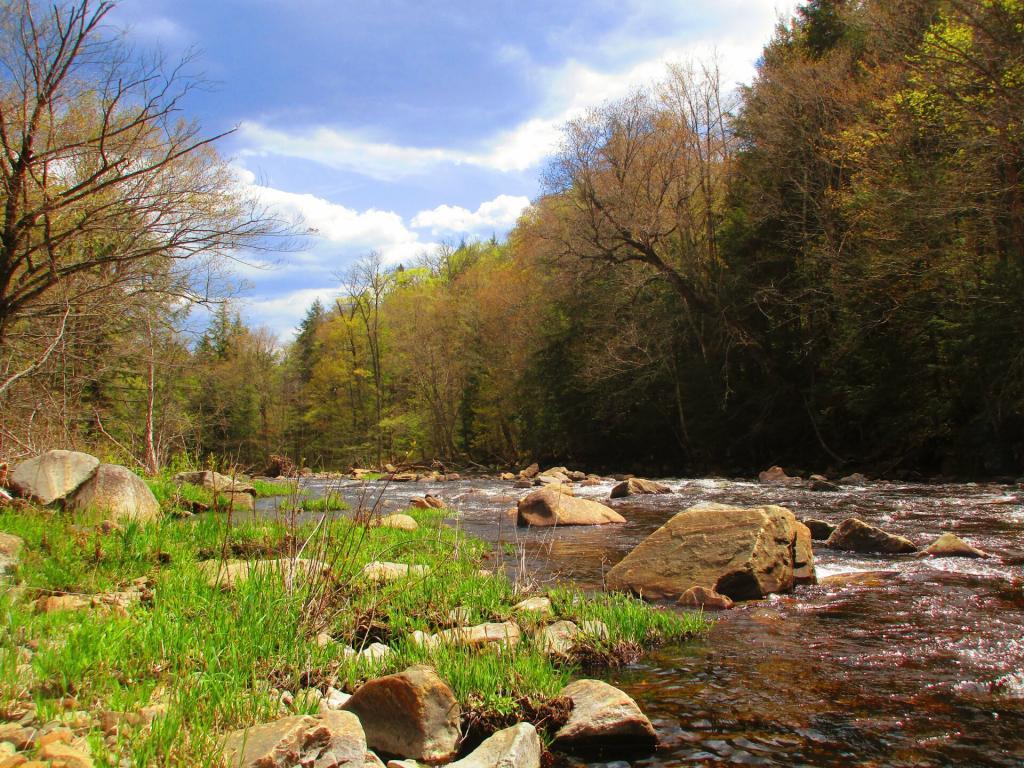
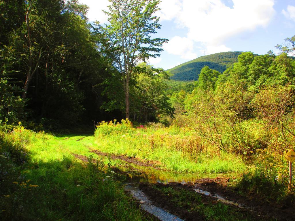
It was a lot rainier then some summers, so that also made it harder to get out of town for long weekends. When I did go camping, and I wasn’t remote working, I tried to make it a priority to find more-remote areas without cell service, so I could get solitude without the constant buzz of the phone. Plus I tended to stay in one campsite for two or three days, to avoid the hassles of taking down and setting up camp.
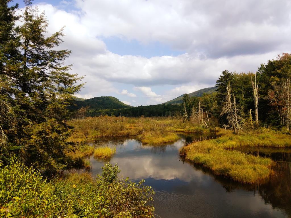
Saturday/Sunday April 24-25: Two Nights on East Branch
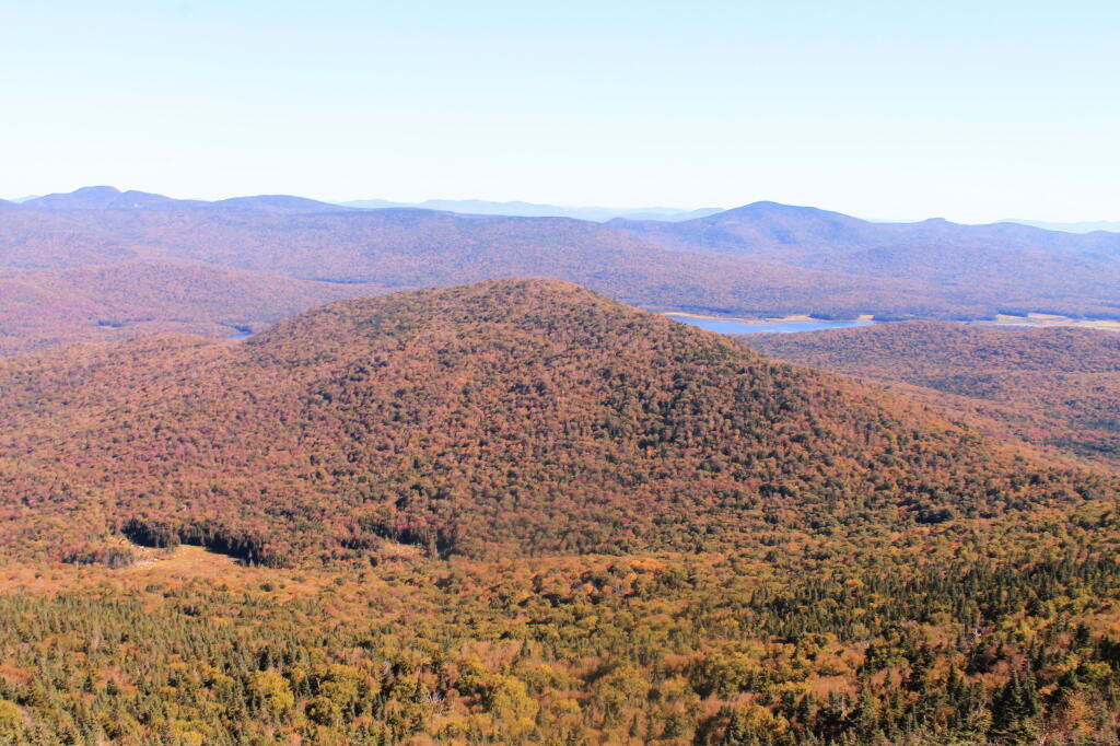
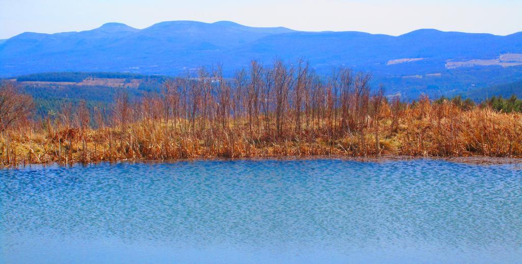
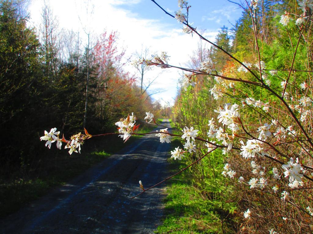
I started out my travels in late April on the East Branch Sacandaga River along NY 8, near Fox Lair. On Saturday, before arriving to camp, I hiked along Hope Falls Road and back to lower and upper Tenant Creek Falls. Sunday, I hiked around Fox Lair, sat down by the river for a while, did some fishing. Had a big ol’ fire. It was cold but also kind of spring-like.
Monday April 26: One Night on Sacandaga River/Speculator Tree Farm
Monday I drove up to Speculator to do remote work at the library and the town park/beach with my laptop. I set up camp at Campsite 17 and in the evening after work, I hiked along Old NY Route 8B, spending some time along Austin Falls and heading back to camp before it got too dark. Tuesday I worked up in Speculator, before heading home. Things were still very brown and gray in the Adirondacks, although I ended up stopping along the Mohawk River in Rotterdam and hiking on the bike trail before dark, and it was much greener down there.
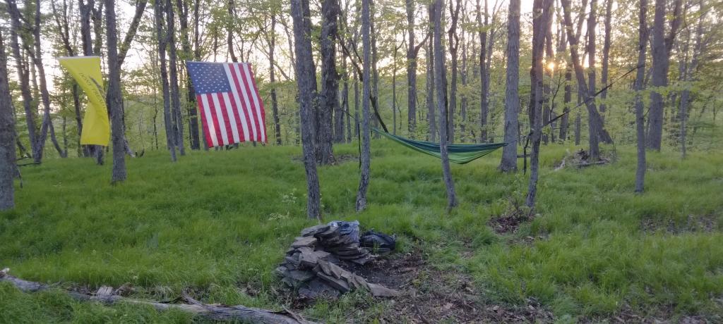
Thursday to Saturday May 13-15: Three Nights on Sacandaga River/Speculator Tree Farm
Thursday morning I got up early and drove up to Speculator before 9 AM to work remotely. I worked until lunch time in Spectulator when I drove down to Campsite 17 and set up camp and worked from there. Worked all day on Friday from camp, mostly sending emails from the hammock although I also edited a report I was working on with my laptop at the table, and grabbed some files a colleague needed off the server over the VPN. Knocked over the lantern, smashing the glass and breaking the the neck on it. On Saturday I hiked back along Robb Mill Road and some of the side trails in the Conservation Easement. Sunday, I drove up to Watch Hill on Indian Lake, hiked that, while there was a constant threat of thunderstorms, so I did it fairly quickly.
Sunday May 16: One Night Camping Near Mason Lake
After hiking Watch Hill I ended up camping at Mason Lake. I also spent some time walking around the Indian Lake/Lewey Campground, just seeing what was there I was hoping being a Sunday I could get a campsite near Mason Lakke, but no such luck. Ended up camping at Campsite 5, a ways from the lake, although in the evening I did walk down to the lake. I did have cell service where I was camping, but it was spotty, so come Monday morning, I headed back to Speculator for work. The black flies were bad camping there, until well after dark I spent most of the afternoon hiding under the screen tent. In the morning, once the sun was up and the tent was down, I was booking out there because the black flies were intense.
Thursday, Friday, Saturday June 17-19: Three nights Camping at House Pond Campsite
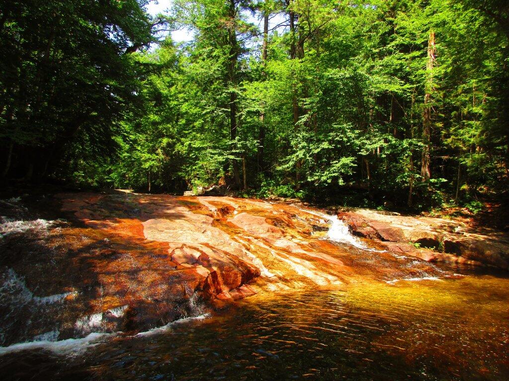
Junteenth Weekend, a new state holiday. Piseco-Powley Road was rebuilt, and I spent a lot of time down at the swimming hole there. I was working remote on Thursday, but I left home after work and drove north before dusk. Spent a lot of time cooling off in East Branch by the campsite, laying in the hammock and relaxing. Saturday I spent kayaking at Lily Lake, but none of the lilies were out. Sunday I spent the balance of the day the potholers.
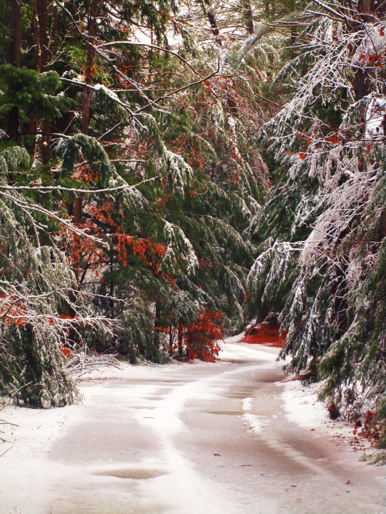
Friday, Saturday, Sunday July 8-10: Three nights camping on Hope Falls Road
After quite a run of rainy weather, we had part of weekend that wasn’t super wet. Also, many weeks in the summer, I preferred to just stay close to home, and catch the Nature Bus and spend Saturdays exploring Thacher Park for free. Friday was a personal day – I had a eye doctors appointment. Then I went north and set up camp at Hope Falls Road. Saturday, I hiked back to Ferris Lake and Tenant Creek Falls. Sunday, partially in the rain, I hiked back to both lower and upper Tenant Creek Falls. Sunday evening back at camp, it absolutely poured. I was originally planning to work remote on Monday and maybe Tuesday in Speculator but the weather was so wet, I decided against that.
Friday July 23: Overnight at Cherry Ridge
Heading out to the Finger Lakes, I overnighted at Cherry Ridge at Charles Baker State Forest in Madison County. It was a stop over after leaving home after work. Noticed how much sway there was in front end of the truck, and the tires were getting loud as they were warn and cupped, grew concerned that I might have issues later on. Eventually in December I replaced the tires, the worn rear shock bushing. and bad sway links. I was dealing with some real anxiety issues at that point. But I had a little fire, then retired early to bed and then took camp down early in the morning and headed west to Montezuma Wildlife Refuge and the state Audubon Preserve.
Saturday July 24: One night Tent Camping Along Backbone Horse Trail at Finger Lakes National Forest
I knew arriving at the Finger Lakes National Forest on a Saturday would mean many campsites would be taken, including the site I wanted. I ended up tent camping at one of the primitive sites off Potomac Road. It was a one night deal as I prefer camping in the truck shell and I saw the people in the campsite I wanted leave, so I quickly grabbed that campsite in the morning. Ended up breaking one of the elastic straps in one of the tent poles, I still need to repair it.
Sunday-Saturday July 25-31: Six Nights Truck Cap Camping Along Backbone Horse Trail at Finger Lakes National Forest
My summer vacation was the Finger Lakes National Forest. I decided to stick close to camp for much summer vacation, not rushing too much from place to place, spending a lot of afternoons at the Watkins Glen Pool, doing some paddling in Seneca Lake and Cayuta Lake, hiking in Texas Hollow and Sugar Hill State Forests. Did a lot of reading and laying back in the hammock. The campsite I stayed at didn’t have cell service, so it gave me a much needed to respite from the internet for a few days. Had some nice fires, drank some beer, and got away from it all.
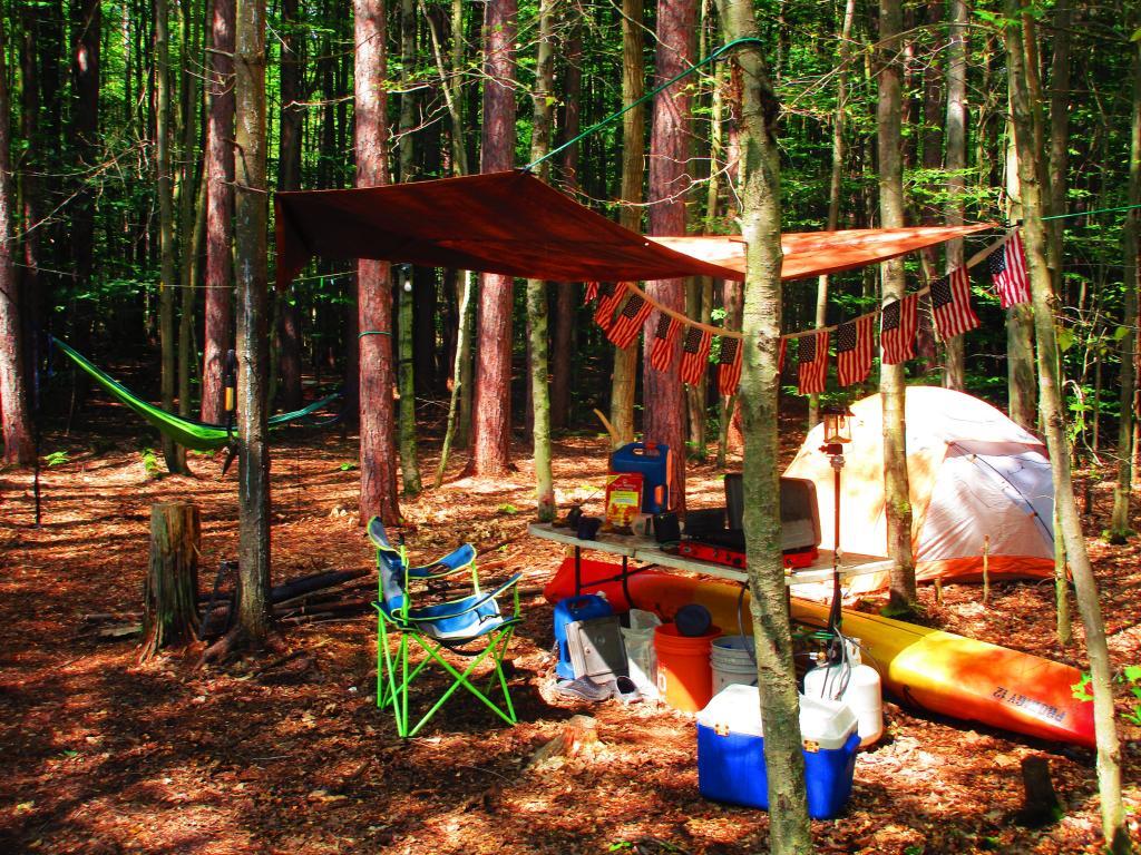
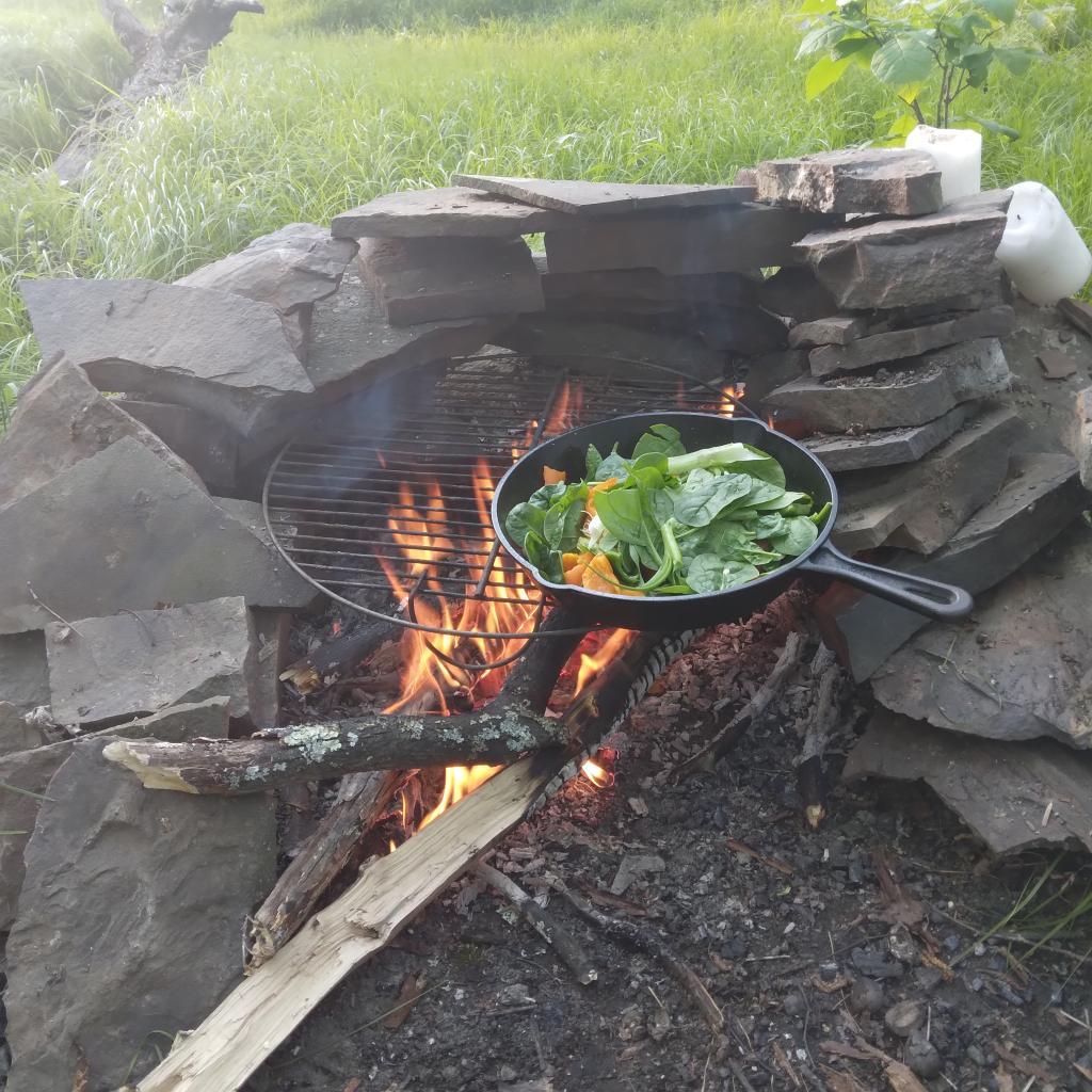
Thursday, Friday, Saturday August 12-15: Three nights at House Pond Campsite with Clams and Sweet Corn
After summer vacation, I decided to take a long weekend — four days — up to Potholers, namely the House Pond campsite with lots of sweet corn, clams and beer. I can still taste the clams and beer, and I had plenty of them to eat over the weekend — they were breakfast, lunch and diner. But it was nice laying back in the hammock and swimming in the swimming hole by that campsite. I also hiked along old Edick Road and to Edick Road Campsite 1, which is way off from the main road, and then down to the ledge. Hiked back to House Pond, which was difficult as there was a lot of blow down from a storm earlier in the summer. Spent much of Sunday at the Potholers and then watched the sun set from the Kane Mountain Firetower. Didn’t bring the kayak this time.
Friday, Saturday, Sunday August 26-28: Three nights (again) at House Pond Campsite
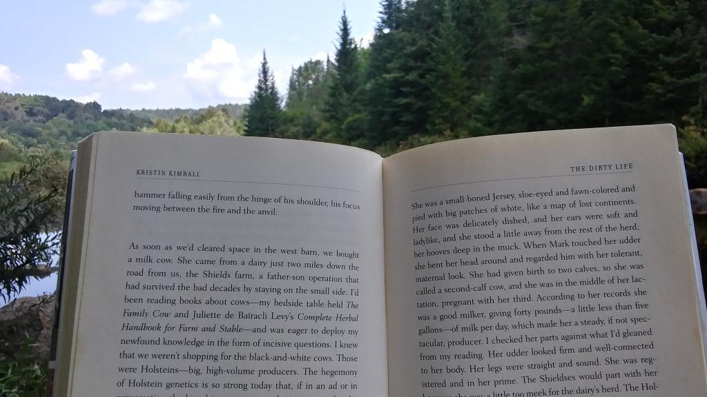
With another warm week ahead, I decided to take off Friday and Monday off for one more week up at House Pond. This time I spent more time at Potholers, walking up there each afternoon, besides spending a lot of time at the swimming hole near this campsite. Did some fishing up House Pond, and a lot of drinking and reading from the hammock. Read yet another book about writing code in Python and Kristen Kimbell’s Dirty Life about farm life. I bought a large truck intertube for floating, but once I got to camp and started to setting up I realized I didn’t have an air pump with me, so I couldn’t use it while camping.
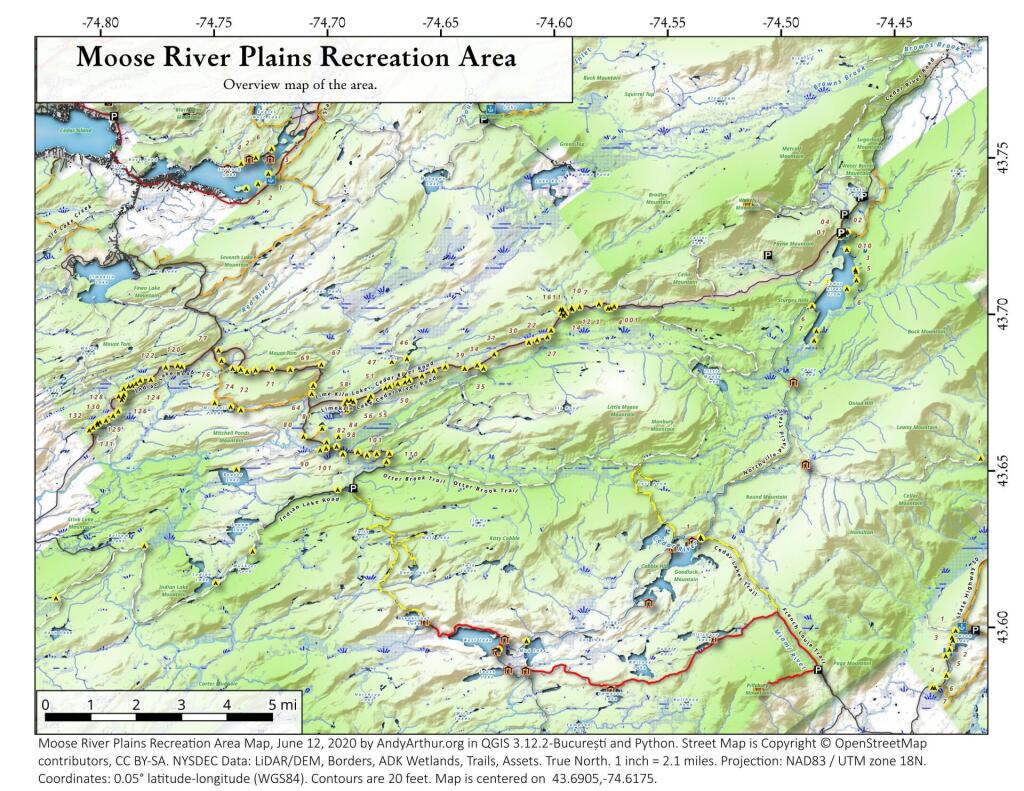
Friday, Saturday, Sunday September 3-5: Three nights at Hardwood Hill at Perkins Clearing
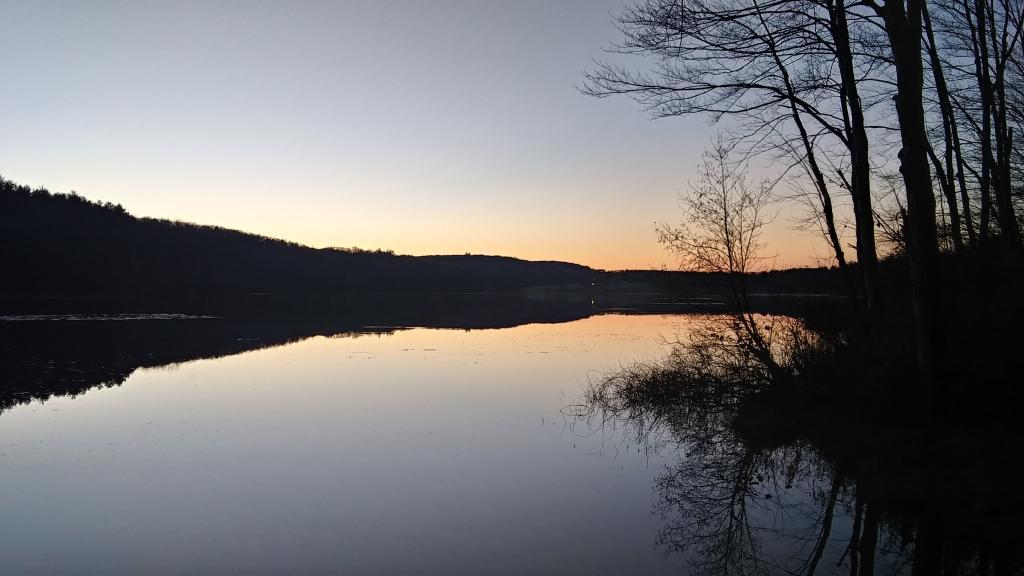
Friday, September 3rd was the final day of remote work – Labor Day Weekend. I got up early, drove to Speculator before 9 AM. I started working from Speculator Library but with my phone having hotspot service and cell service, mid-day I drove up to Hardwood Hill. This time I made sure to inflate my intertube before heading up north, and I spent Saturday evening until well after dusk floating in the Jessup River off of Jessup River. Then I drove to Sled Harbor after dark, hoping to catch a glimpse the illuminated Wakely Hill Firetower, but I could not see it as it I couldn’t find the good views of the tower from the road after dark.
Saturday September 11: One night at Betty Brook
Decided to do a weekend trip out to Schoharie County to hike the Catskill Scenic Trail south of Grand Gorge through the deep notch where NY 30 runs. Hiked down to Hubbell’s Corners from Grand Gorge then went for a very cold swim at Mine Kill State Park. Mine Kill pool was open late this year due to opening late at the beginning of summer. Water temperature was 58 degrees. Sunday I also went for a quick swim at Mine Kill Pool again. Still very cold.
Saturday September 18: One Night at House Pond
On September 18th, I drove up to Piseco-Powley Road to camp for three nights, four days. Spent one night at the House Pond Campsite, which I set up in the pouring rain, and spent time floating in the my new rubber intertube. It was a nice day once he rain stopped but the water was very cold. But it was nice laying back in the hammock that evening, although prior to dusk there was a lot of deer flies around and biting.
Sunday/Monday September 19 & 20: Two Nights at Powley Place
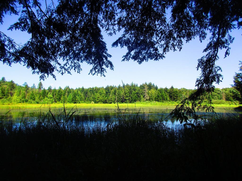
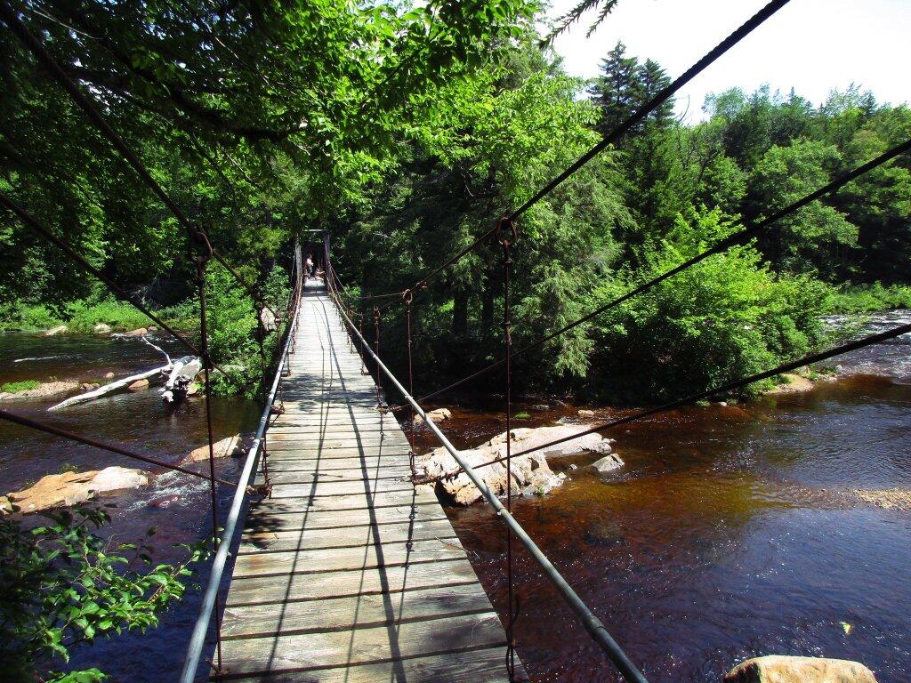
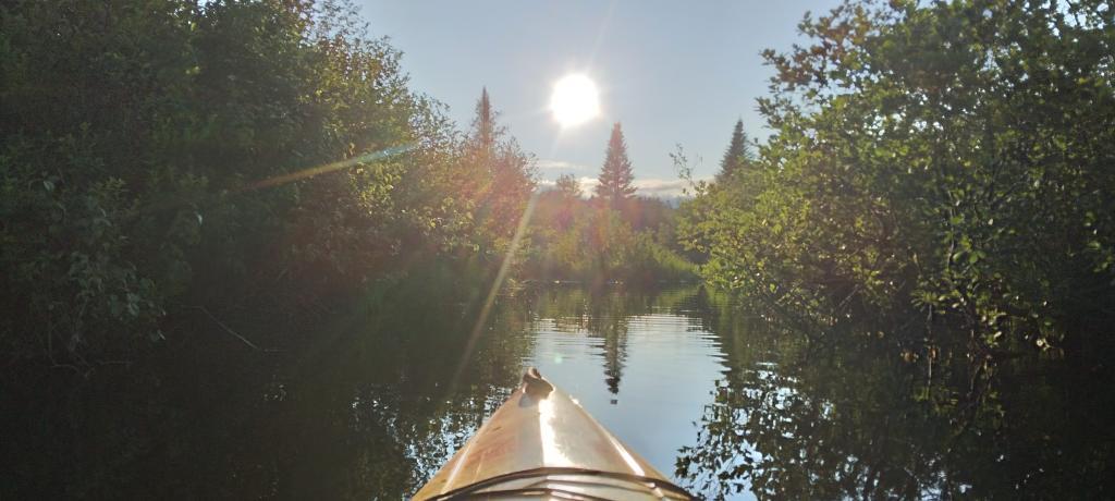
On Sunday afternoon I drove further up Piseco-Powley Road to Powley Place to do some camping and paddling on the East Canada Creek. Monday I hiked back to Goldstream Falls then carried my kayak down to the East Canada Creek and paddled down to the first rapids, portaged past that to the second main rapids. The beaver dams were relatively low this time, due to water levels being higher then other times when I’ve paddled the East Canada Creek. Laid back in the hammock, did some reading and looking out over the campsite on these mild, starry nights. Also did some floating down the East Canada Creek
Friday, Saturday, Sunday October 8-10: Three nights camping at Betty Brook
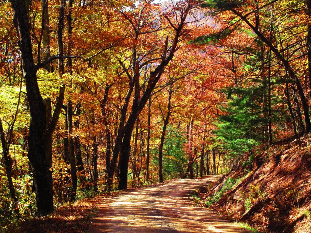
I took off the Friday before Columbus Day Weekend to hike Bear Pen Mountain in the Western Catskills. It was the start to a very colorful weekend. Betty Brook was nice, but it was good I got there relatively early — around 4 PM on Friday as the other campsites were quickly taken. On Saturday, I drove down to Stamford and hiked more of the Catskill Scenic Trail from Stamford for Bloomville then visited a friend in Summit. Sunday I hiked along Betty Brook Road to the snowmobile trail up Burnt Hill, then hiked over the dirt roads on Burnt and Rossman Hills, enjoying the leaves and wildlife. Hiked back to camp and laid back into the hammock well into the evening, which was quite mild. Sunday I hiked from Grand Gorge to Stamford on the Catskill Scenic Trail.
Saturday, November 6: Camping at County Bridge Campground Pennsylvania
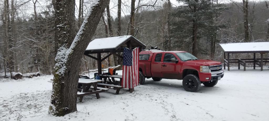
Originally I was planning to get new tires put on my truck prior to going to West Virginia, trip that was postponed multiple times. Ultimately I decided it wouldn’t be a bad idea to just wear out the tires and go for the trip. I hadn’t decided on where I was going to go until I was on the road, and ended up going to Binghamton, then down to Pennsylvania for my first night camping. It was a cold first night — got down to 14 degrees.
Sunday/Monday November 7-8: Camp Run West Virginia
The first two nights I spent at Camp Run Primitive Campground at Miles, West Virginia which is located in a wash on the backside of Shenandoah Mountain. On Monday of that week I hiked up over Shenandoah Mountain, and watched the sun rise over Camp Run Lake. Tuesday morning I drove over through Judy Gap then up Spruce Mountain and hiked up that. In the afternoon I hiked up Seneca Rocks, something that had long been on my bucket list to do.
Tuesday, November 9: Camping at Canaan Heights
On Tuesday night I camped up in Canaan Heights / Table Rock outside of Thomas WV. I was going to stay multiple days but hearing a lot of wheel bearing noise in my truck, I decided it best to head north on Wednesday and see if I could either make it home or get the truck fixed. The wheel bearing burned up by the time I got up to Lock Haven but was able to get it fixed that day and head north to County Bridge.
Wednesday, November 10: Camping at County Bridge Pennsylvania
The second time camping at County Bridge it wasn’t as cold. I had a fire and retired to bed fairly early. But come the morning, neither the camp stove or the heater was working. I thought I might have have run out of propane. Then packed up in the morning on Veterans Day and headed north to Chenango Forks State Park, which I wanted to explore. I then stopped at Price Chopper, got some groceries and headed up to Long Pond State Forest for two kind of cold and chilly, damp nights.
Thursday/Friday, November 11-12: Camping at Long Pond State Forest
After spending the balance of Veterans Day, Thursday at Chenango Forks State Park, I camped for two nights at Long Pond State Forest. I was still having problems with my camp stove and heater, so it was kind of cold but I was able to find enough firewood to make do, and had some quiet evenings listening to the radio and just hanging out. Friday was pretty rainy, but I made due — beat having going back home. The fires were smokey but they were warm enough. And it beat being home.
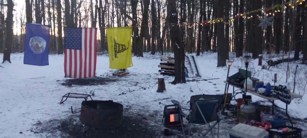
Monday/Tuesday December 20-21: Camping at Stoney Pond State Forest
I thought about getting out of town after Thanksgiving but the weather did not cooperate. Then my truck’s repairs and tires got dragged out to mid-December. I decided to take he week off before Christmas to go camping. I was thinking about Central New York and then the Finger Lakes, but ultimately made it no farther then the Finger Lakes. Saturday was pouring rain, and then Sunday was bitterly cold. And my camp heater and stove were malfunctioning. But ultimately I was able to get it working, after much fiddling at camp. I camped two nights at Stoney Pond, spending Tuesday poking around Cazenovia. Tuesday was very gray, and Wednesday was snowy. Wednesday I drove to Hamilton and hiked part of the Chenango Canal Trail.
Wednesday, December 22: Camping at Moscow Hill Assembly Area
My final night camping in 2021 was the Moscow Hill Assembly Area at the Charles Baker State Forest. I decided to camp there as it was more sheltered from the wind and snow, and in case we got more snow, I figured I wouldn’t have to worry about the snow, as the county highway isn’t that far away. They were expecting high winds and low windchills, but it turned out not to be too bad. I thought about staying another night on Thursday, but the weather for Thursday looked sunny, and wanted to do some hiking, plus I wanted to be home for Christmas Eve for a family Christmas Party.
![Old Canal Warehouse in Chittenango [Expires November 19 2023]](https://andyarthur.org//data/photo_005914_large.jpg)