Prospect Peak
"This headland overlooks the Potomac and Great Cacapon Valleys and the three states - West Virginia, Pennsylvania and Maryland. The National Geographic Magazines rates this scene among America's outstanding beauty spots." - West Virginia Department of Culture and History, 1983
Saturday October 28, 2023 — West Virginia

Moorefield WV
Winchester Avenue in Moorefield. A town in West Virginia that smells a lot like raw chicken, like you might get from the store, as it's home to the Pilgrims' Pride factory that turns the many live chickens from local farms into the styrofoam and plastic chicken you get at the store.
Saturday October 21, 2017 — Moorefield, WV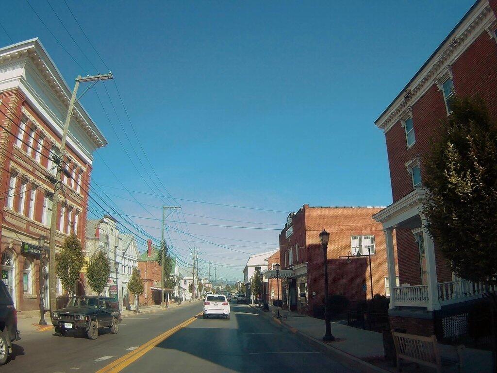

Paw, Paw West Virginia
Located in Morgan County, WV and incorporated in 1891. The town is named for the Paw Paw fruit that grew abundantly in the area at the time. The near-by Paw Paw Tunnel, was named for the town and is a major attraction for travelers along the C&O canal that runs from Cumberland, MD to Washington, DC.; which was built to by-pass the 6 mile stretch of the Potomac known as the Paw Paw Bends. It opened for canal traffic in 1850, and continued operating until 1923.

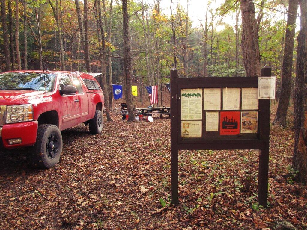
Afternoon At Camp Run