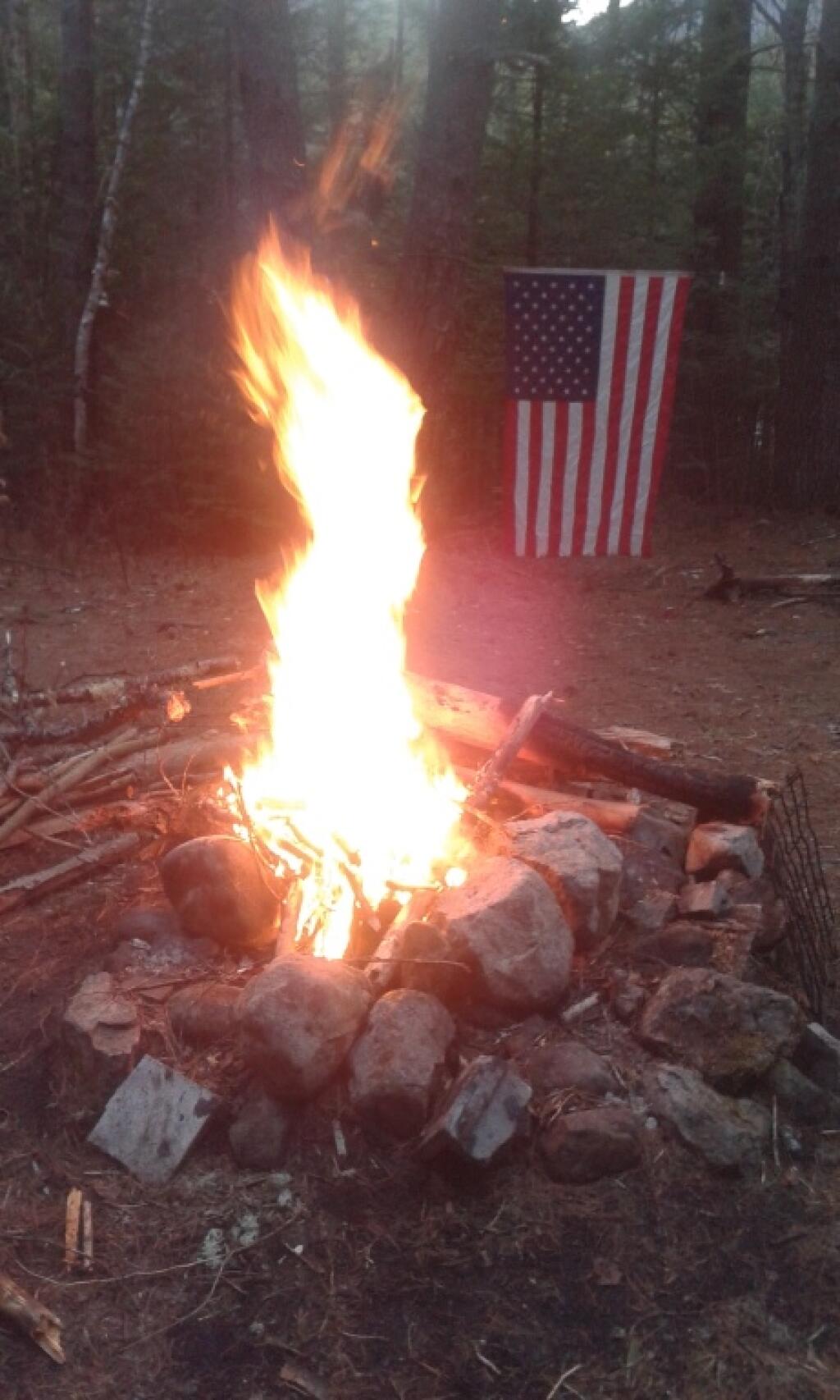
Roaring Campfire

After studying the methods quite a bit, I’ve determined there is no real easy way to find peaks on mountains and report their exact elevation in QGIS. The best method I could come up with was to figure out the median point in the elevation for the map, then use that to isolate “mountains” and from there polygonize, create zonal statistics for each polygon, crop the DEM layer to each polygon then select the pixel that matched the peak. This can be done, but I couldn’t figure out how to automate it easily using the Graphical Modeler, so I would have to write a full plugin to do it. I decided it wasn’t worth the effort. In most cases, I didn’t care about the exact peak, and it would just be easier to add peaks to my maps on a case-by-case basis using a point layer with labels queried against the DEM layer.
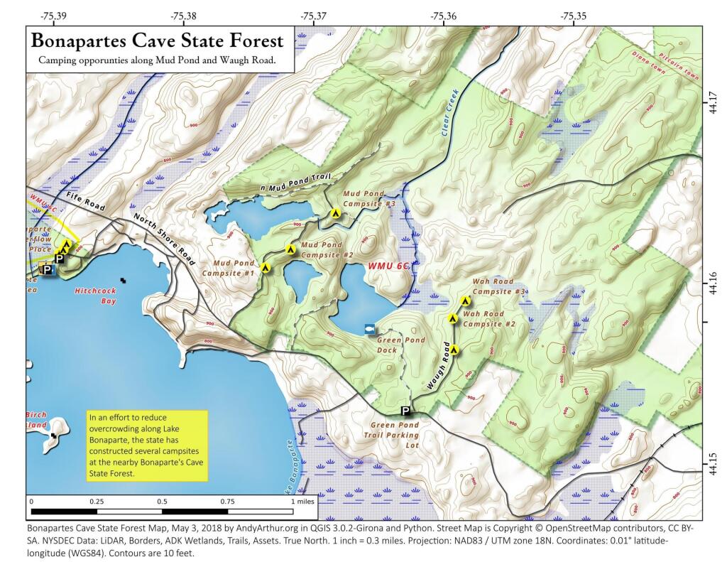
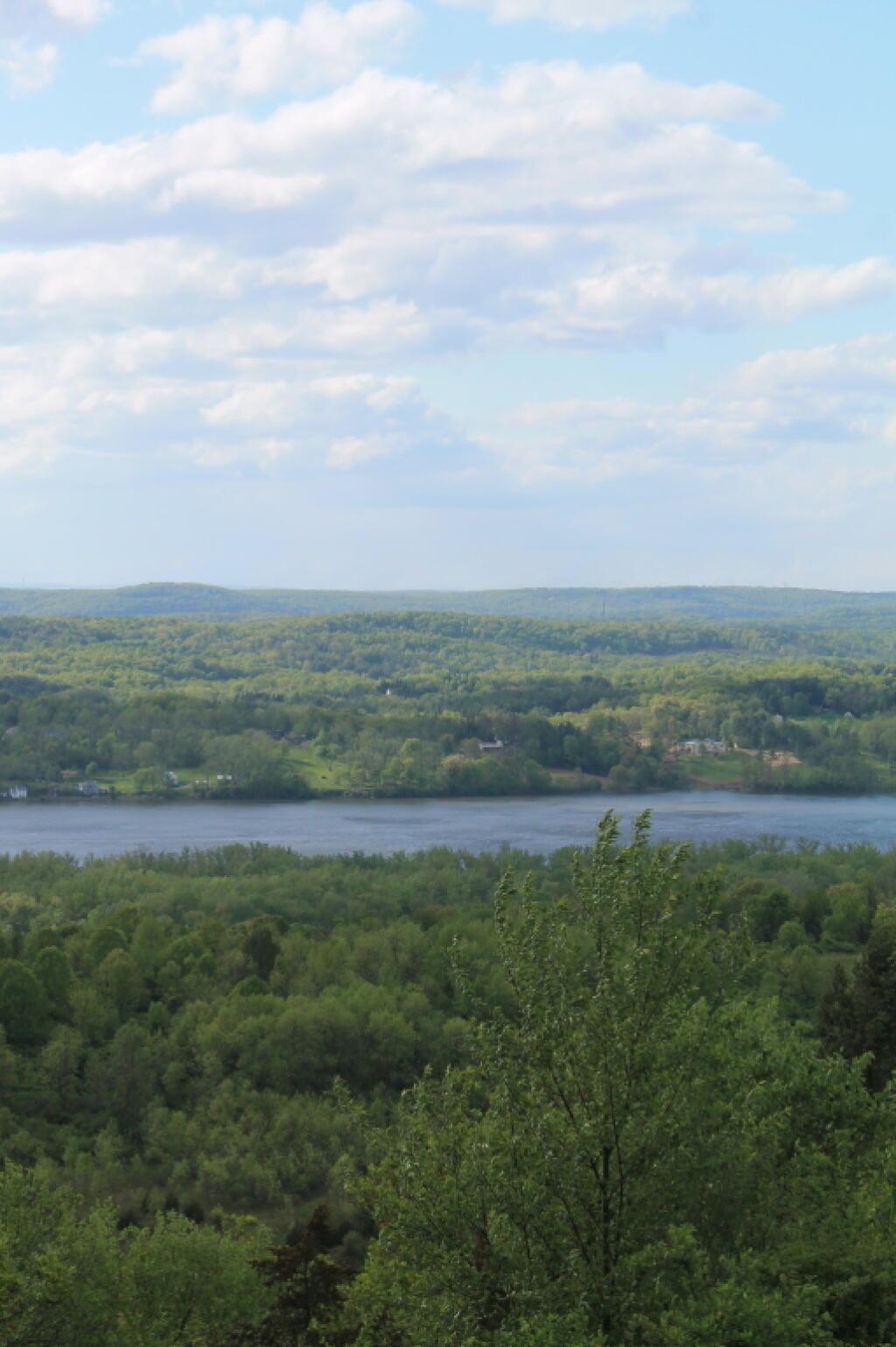
This map shows some of the new campsites now avaliable at Bonaparte Cave State Forest on Lake Bonaparte.
Changes to the Battery and other parts of LoMa over the years.