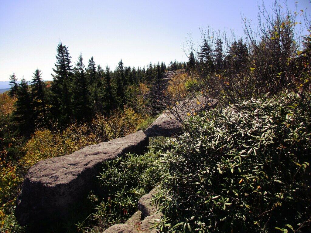
With the high winds and dry conditions, Mountain Laurel isn't as common up at Dolly Sods as it is in Canaan Heights and other locations. But you can find it in more protected parts of Dolly Sods, like on this location on the Western side of the Allegheny Front.
Taken on Friday October 11, 2019 at Dolly Sods Wilderness.
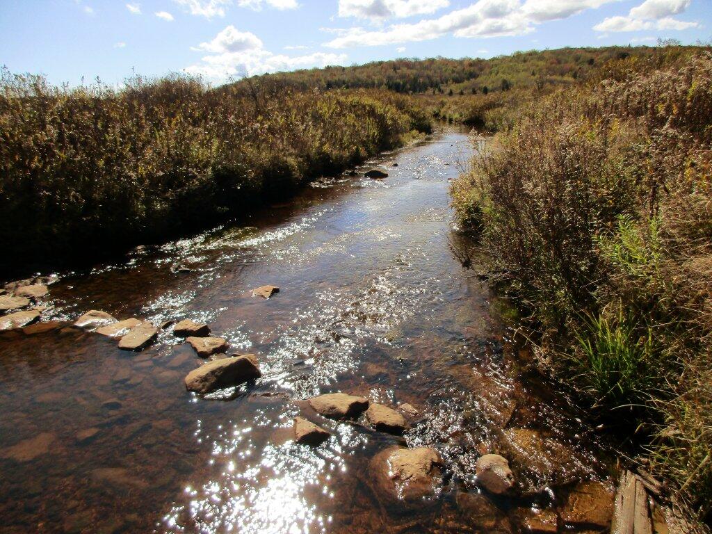
Down by the Red Creek, where much of the rain collects from storms hitting the Allegheny Front it can be very soggy, even when the rest of the Sods are super dry. Like all federal wilderness areas, bridges are not allowed, so streams are crossed by stones.
Taken on Friday October 11, 2019 at Dolly Sods Wilderness.
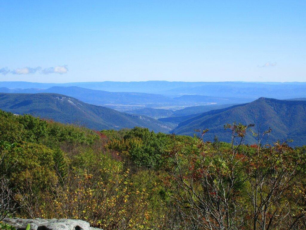
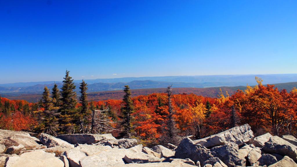
While not a lot of color on the lower peaks, it was still a beautiful early October Day looking down from the Allegheny Front at the lower peaks towards North River Notch and Petersburgh, West Virginia.
Taken on Friday October 11, 2019 at Dolly Sods Wilderness.
Looking out towards New Creek Mountain on a beautiful autumn day in 2015.
Taken on Wednesday October 14, 2015 at Dolly Sods Wilderness.
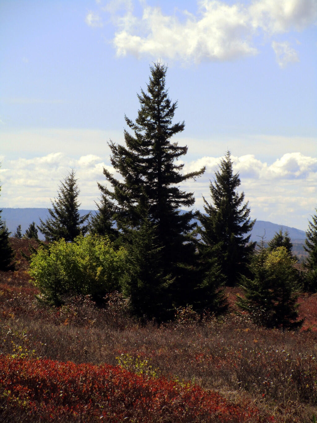
Pines intermix with the blueberry bushes and other open lands of Dolly Sods.
Taken on Friday October 11, 2019 at Dolly Sods Wilderness.