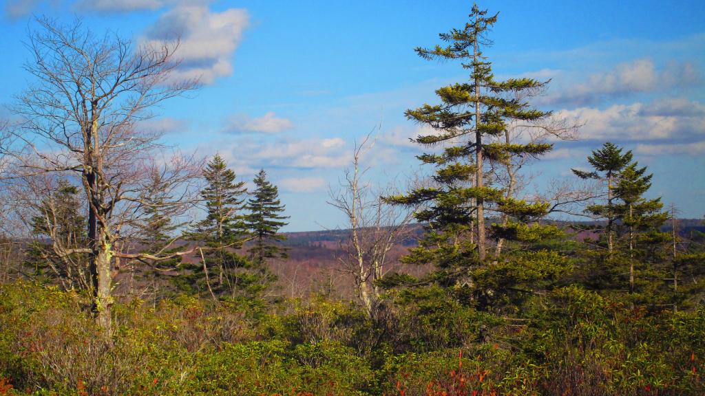
After a rather cloudy morning at Dolly Sods, things cleared out. Exploring the western part of sods is interesting, it is much more like around Canaan Heights then the eastern portion which is mostly heath barren.
Taken on Friday October 27, 2023 at Dolly Sods Wilderness.
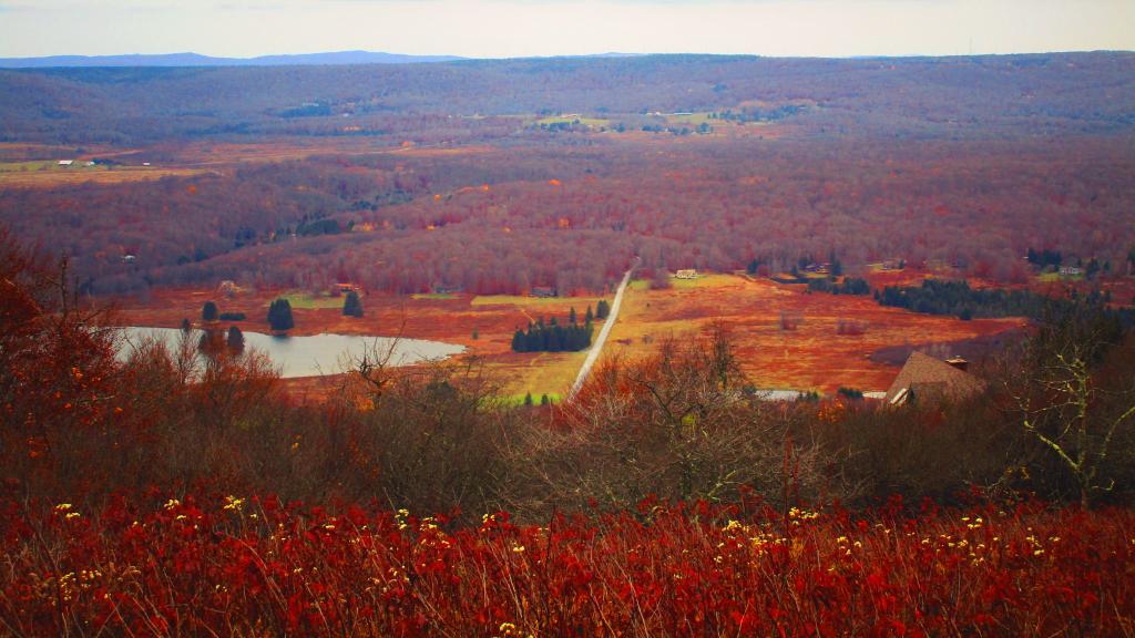
Looking west from Canaan Mountain down into the valley.
Taken on Friday October 27, 2023 at Dolly Sods Wilderness.
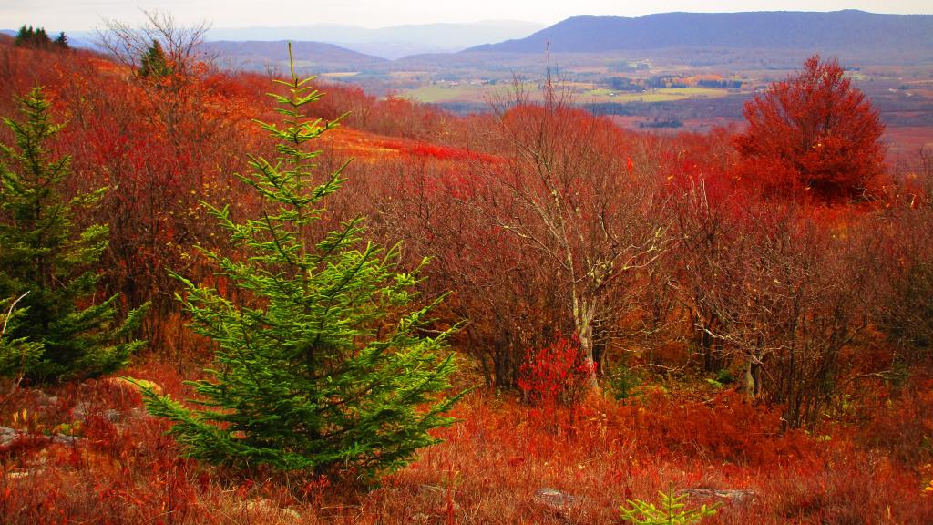
Looking south-west off Cabin Mountain at Dolly Sods to the high-elevation Canaan Valley, towards Dry Fork. To the left is Rich Mountain and to the right is Canaan Mountain.
Taken on Friday October 27, 2023 at Dolly Sods Wilderness.
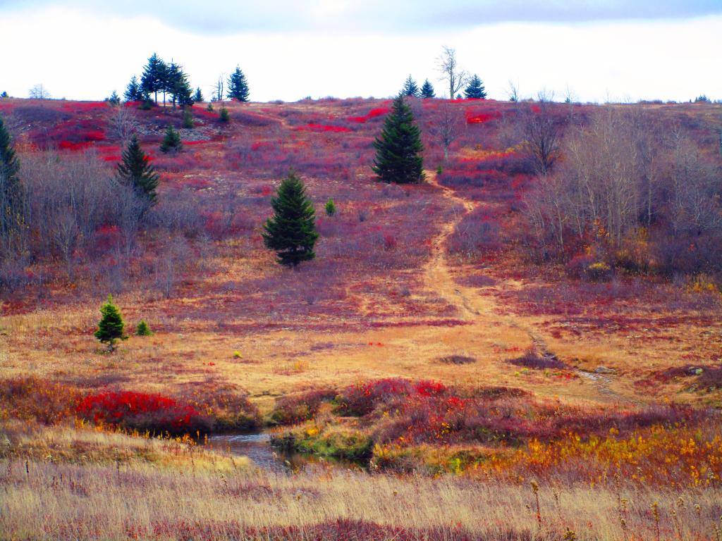
Looking across the Red Creek to Alder Run Trail which was impassable without getting quite wet due to high water levels in the Red Creek. While many of the colors were faded, there was still some nice color in the heath, it's bright red color emblematic of the Dolly Sods in the highest locations along the Allegheny Front.
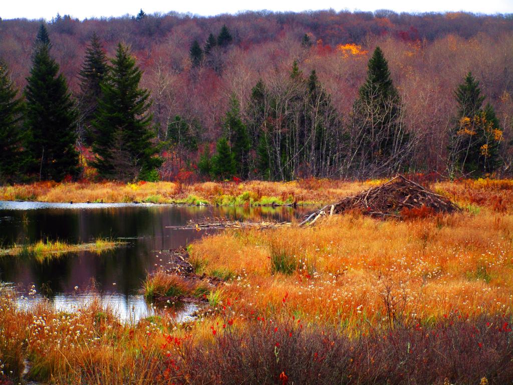
Taken on Friday October 27, 2023 at Dolly Sods Wilderness.
A beaver lodge along the Harman Trail at Dolly Sods Wilderness.
Taken on Friday October 27, 2023 at Dolly Sods Wilderness.
This Google Map - KML / KMZ file contains the Dolly Sods Wilderness Trails extracted from the Monongahela National Forest Geospatial Data, colored by trail name.
I had never hiked the back part of Dolly Sods until last week. It was a nice hike, though I forgot about the wet crossing on the Red River and never got up to Appalachian Front or Bears Rocks as I had hoped.