Good evening! Cloudy, muggy as all sheet and 86 degrees in Albany. There is a west breeze at 6 mph. The dew point is 71 degrees. The heat index is 79. On and off rain this evening with 1.8 inches of rain is expected before it ends Saturday around 7 pm.
The bus was running late and I forgot my sweet corn, cherries, and mushrooms in the refrigerator at work. I guess I will I’ll be able to enjoy it tomorrow night. It won’t be quite as fresh but should still be good. I wish I would have thought of that earlier. At least at this hour, traffic is light at this hour.
The sun will set at 8:32 pm with dusk around 9:06 pm, which is 33 seconds earlier than yesterday. At sunset, look for partly cloudy conditions with possible thunderstorms and 83 degrees. The dew point will be 70 degrees. The heat index around sunset will be 79. There will be a northwest breeze at 5 mph.
Tonight will have a Waning Gibbous Moon. The Last Quarter Moon is on Sunday night. The Strugeon Moon is on Monday, August 7th. The sun will rise at 5:29 am with the first light at 4:55 am, which is 47 seconds later than yesterday. Tonight will have 8 hours and 57 minutes of darkness, an increase of one minute and 22 seconds over last night.
Tonight will have showers likely and possibly a thunderstorm before 7pm, then a chance of showers and thunderstorms between 7pm and 4am, then showers likely and possibly a thunderstorm after 4am. Some of the storms could produce heavy rain. Mostly cloudy, with a low of 72 degrees at 5am. 10 degrees above normal. Maximum dew point of 71 at 6pm. Northwest wind around 5 mph becoming light and variable in the evening. Chance of precipitation is 60%. New rainfall amounts between a quarter and half of an inch possible. In 2016, we had cloudy skies. It got down to 70 degrees. The record low of 45 occurred back in 1939.
Being such a humid night, I think I will go to the library after dinner to enjoy the air conditioning assuming that it isn’t pouring later in the evening. Tomorrow might be a little wet for packing but I still see a decent weekend in the forecast.
Going to be be hazy, hot and humid this weekend. Saturday, a chance of showers. Partly sunny, with a high near 80. Chance of precipitation is 30%. Maximum dew point of 66 at 7pm. Sunday, a chance of thunderstorms. Mostly sunny, with a high near 85. Chance of precipitation is 30%. Maximum dew point of 66 at 8pm. Typical average high for the weekend is 83 degrees.
One of the things I’ll be interested about this weekend is the phone coverage I will have in the Adirondacks. It looks like from the coverage maps I should have excellent coverage in many parts of the Adirondacks but I’m skeptical. One place I have reception per coverage maps is up by Willis Lake and Pumpkin Hollow and if that is true that would be amazing especially for weekends that I’m on call for work.
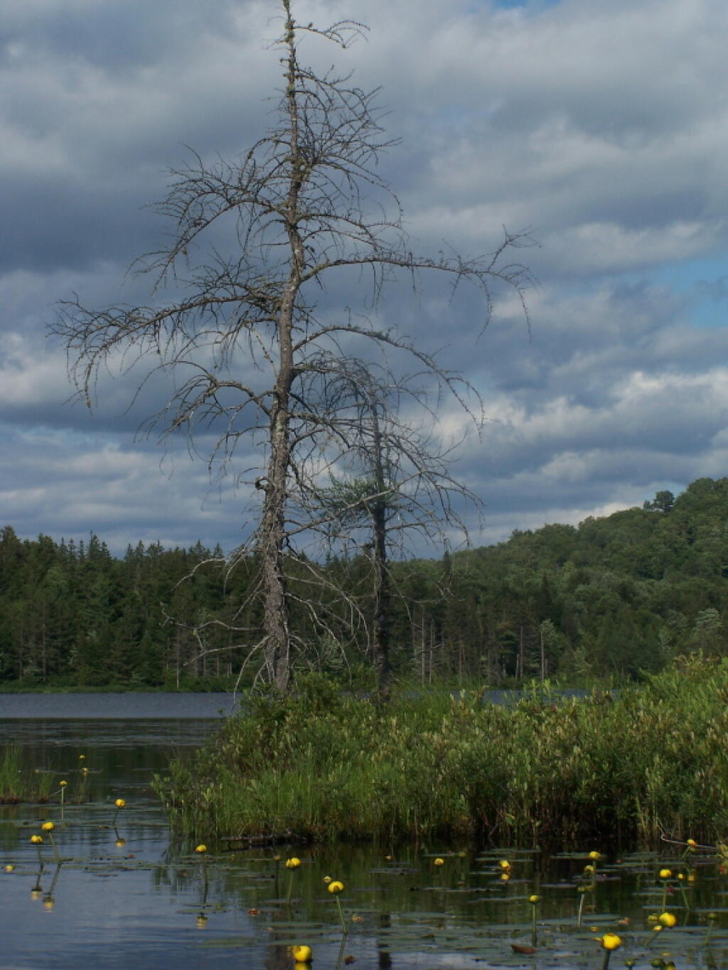
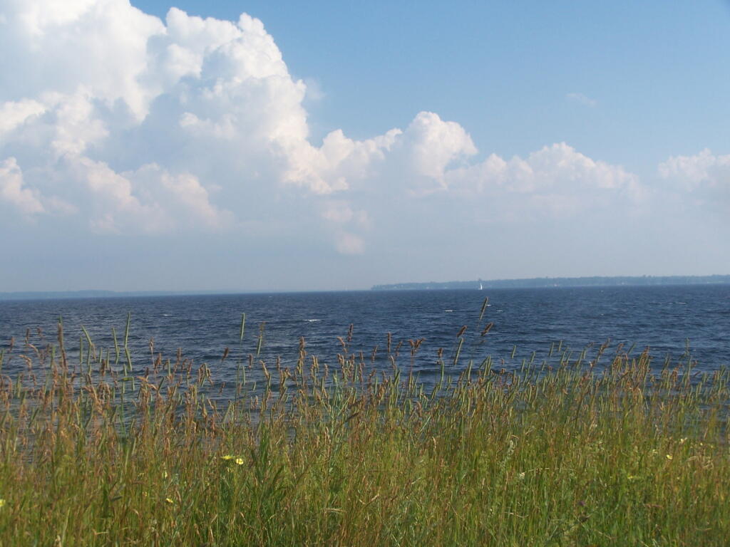
I am still leaning towards the camping around Wells and Speculator and doing all those activities I’ve been thinking about. It could be a nice weekend even if it’s not as remote as Piseco-Powley Road and there are no Potholers. But there are still future weeks of summer left.
I’m taking off August 21st so I can watch the solar eclipse. They have many pairs of inexpensive solar eclipse glasses one can wear. Don’t want to go blind staring at the sun. Plus then I can take a long weekend to go camping, fishing and swimming somewhere.
In four weeks on August 9 the sun will be setting at 8:04 pm, which is 28 minutes and 10 seconds earlier then today. In 2016 on that day, we had mostly sunny skies and temperatures between 86 and 57 degrees. Typically, you have temperatures between 82 and 61 degrees. The record high of 96 degrees was set back in 2001.
Looking ahead, Last Sunset After 8 PM is in 1 month, Last Day with Average High of 80 is in 6 weeks, Harvest Moon is in 8 weeks, 6:30 PM Sunset is in 12 weeks, Coldest Day of Year (Avg. 14-30 degrees) is in 26 weeks and Inaugeration Day 2021 is in 184 weeks.
Stay cool and remember if we had more sun it would be much hotter. It’s just muggy.