“I walked down to the express bus and while the sidewalks were plowed they are still icy. But heck, the sun is nice even if it is a bit cold.”
Warned up quite a bit with the sun out and temperatures around 18 degrees. While high pressure will be in control with ample sun, we will see the mercury only reaching 24 with a stiff northwestern breeze that will keep windchills below zero.
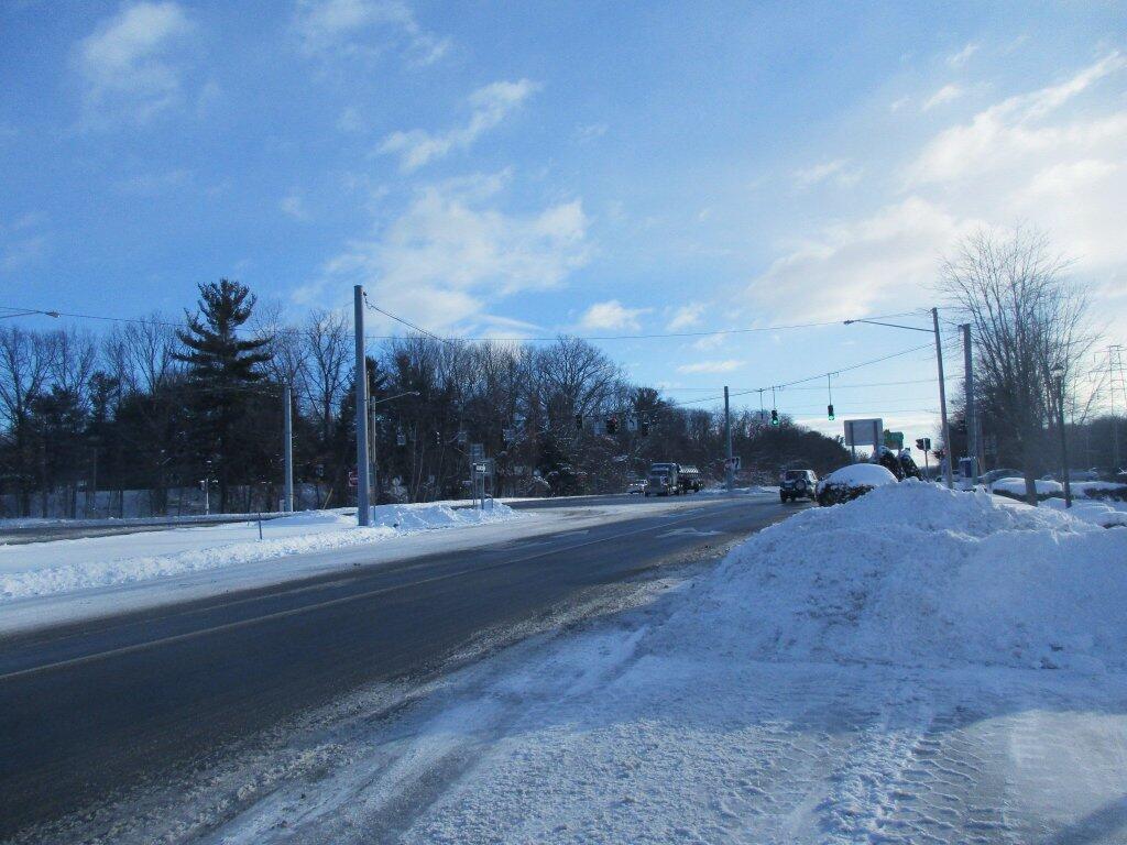
Winter in Albany.
All things considered, it’s been a fairly mild winter with the Hudson River only starting to freeze again for the second time of year. The Hudson River doesn’t freeze as much as it once did, but I then again the river is saltier then years past due to climate change.
The sun will set at 5:21 pm with dusk around 5:50 pm, which is 1 minutes and 18 seconds later than yesterday. It will still be somewhat light when I get home from work. I like that. Today will have 10 hours and 24 minutes of daylight, an increase of 2 minutes and 36 seconds over yesterday.
Tonight will be light snow, mainly before 5am. Low of 19 degrees at 4am. Two degrees above normal. South wind 5 to 9 mph. Chance of precipitation is 80%. New snow accumulation of 1 to 3 inches possible. In 2016, it got down to 8 degrees with periods of snow. The record low of -18 occurred back in 1962.
Traffic moving slowly downtown, but it is definitely moving. Just a lot of volume getting on the expressway ramp. I think I passed Dad on the Delaware Bypass. The bus was running about 5-6 minutes late, which was fine, because I was running a few minutes late, although I was still at the bus stop a few minutes before the scheduled time. Things tend to get slowed up downtown after the snowstorm, as the lanes get smaller due to the snowbanks and cars and buses can’t pass as easily.
As previously noted, there are 5 weeks until St. Patrick’s Day when the sun will be setting at 7:05 pm with dusk at 7:33 pm (Daylight Savings Time). On that day in 2016, we had fog, rain, thunderstorm and temperatures between 61 and 38 degrees. Typically, the high temperature is 45 degrees. We hit a record high of 75 back in 1990.