outdoors

Giant Ledge, October 2009

Giant Ledge is a relatively flat hill located on the ridge between Slide Mountain and Panther Mountain. It can be accessed from the Giant Ledge Parking Area, off of hairpin turn on Slide Mountain Road.
When Thanksgiving Falls, 2000 to 2099

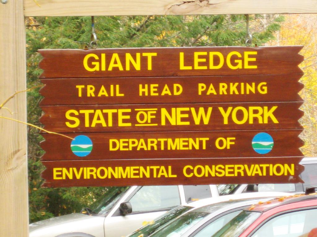
Giant Ledge Parking Area

I went hiking on Columbus Day, a little past peak foliage system after spending two nights camping out in Schoharie County. It is a short hike.
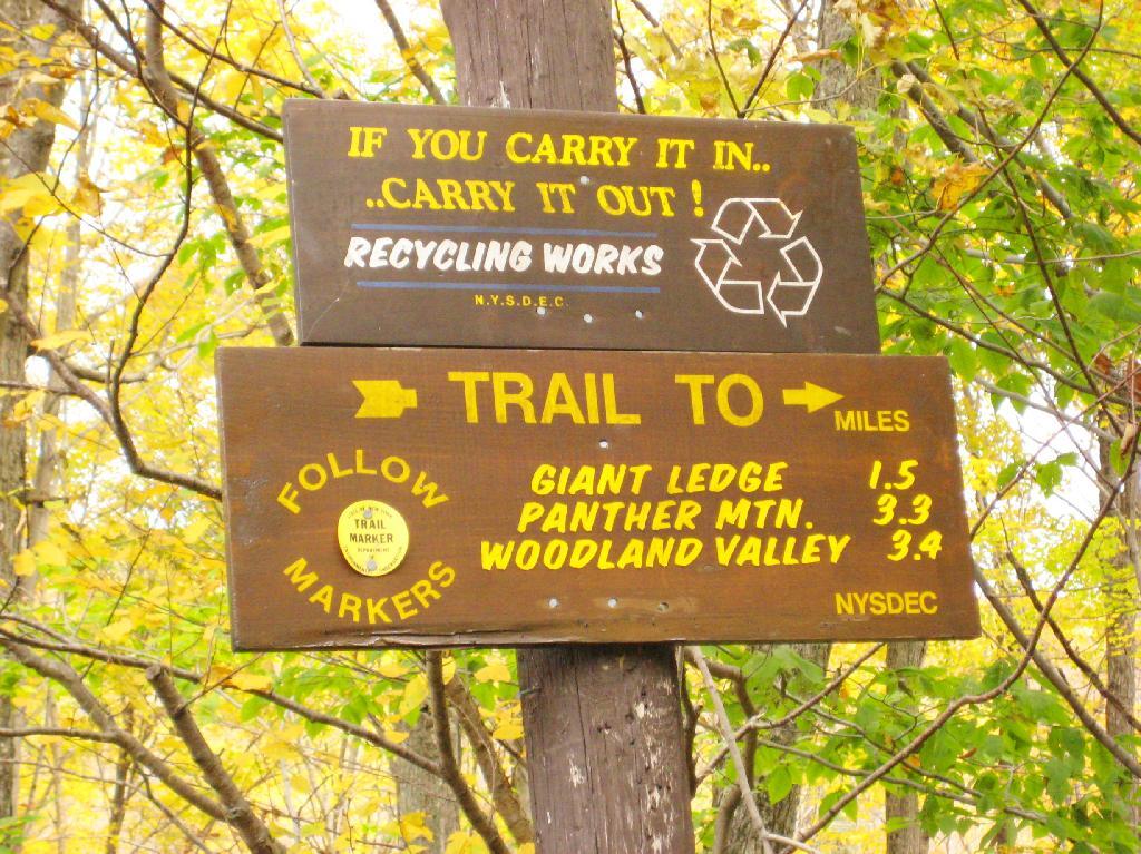
Short Hike to the Ledge

Here is cute little bridge that goes over an unamed creek, running down the northern face of Slide Mountain.
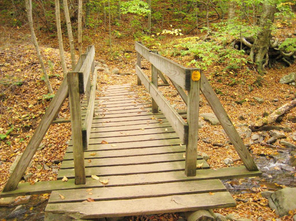
Bridge

After a moderately steep 3/4 mile hike, you reach the “pass” that goes between Slide Mountain and Panther Mountain. This portion is relatively flat, until you reach the last 150 feet of elevation gain, to reach the top of Giant Ledge.
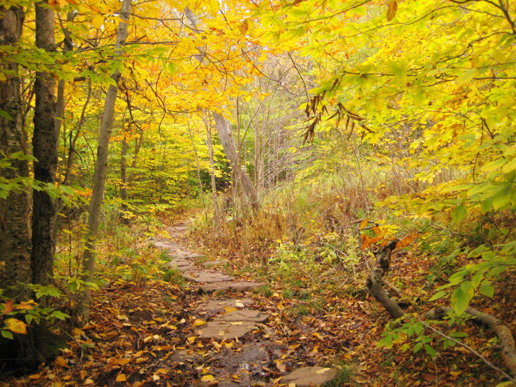
Plateau

Here is Slide Mountain, peaking through the trees as your going up to the last bit to Giant Ledge.
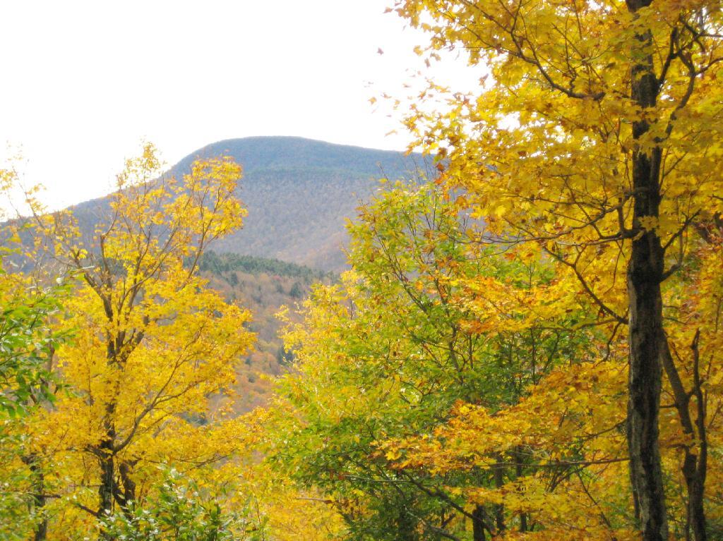
Slide Mountain

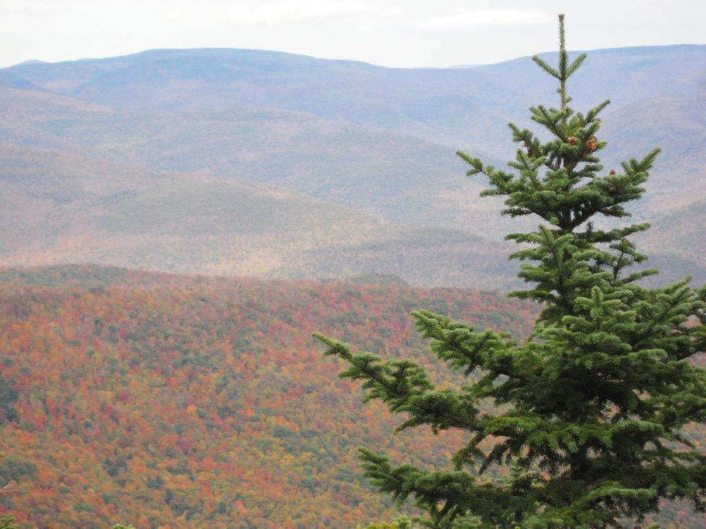
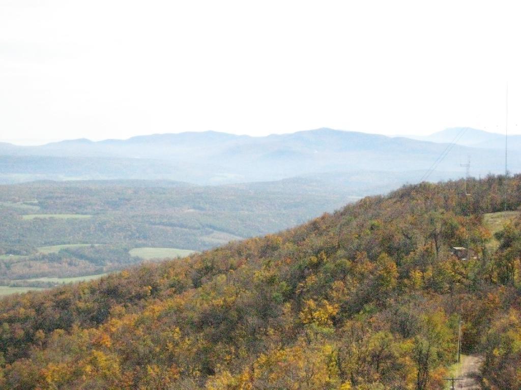
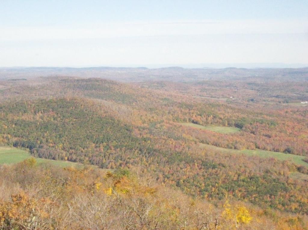
Looking off Giant Ledge, towards Woodlawn Valley (in the colorful foreground), with Plateau Mountain, Twin Mountain, Indian Head Mountain, and in the middle, Tremper Mountain.
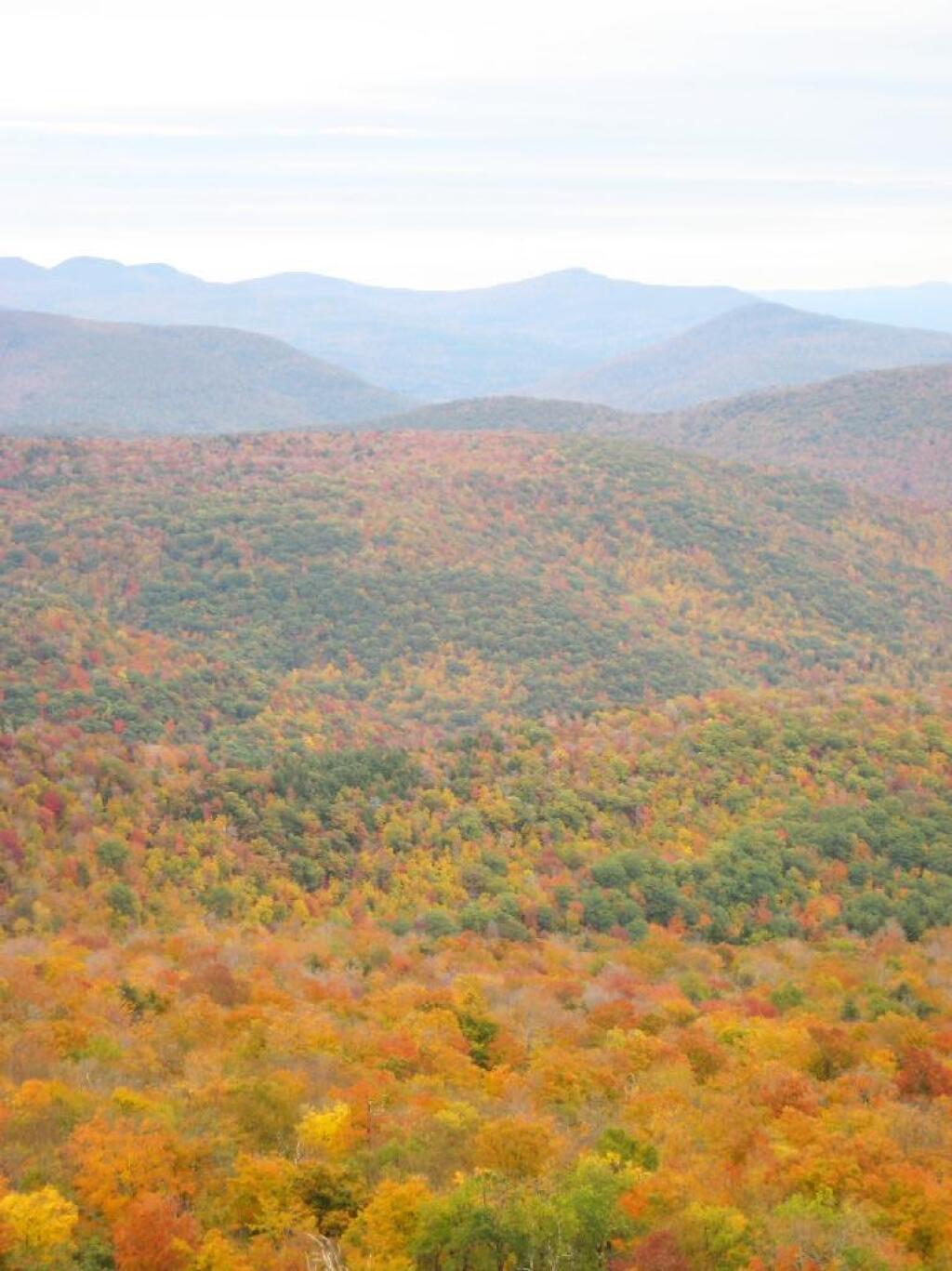
 Colors

Here is the Wittenberg and Cornell Mountains.
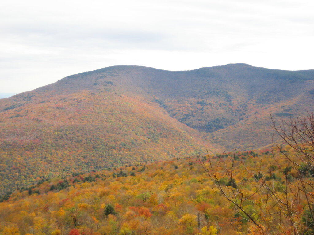
Wittenberg and Cornell Mountains

This is the Woodlawn Valley’s beautiful colors.

Part of the trail runs right along the edge.
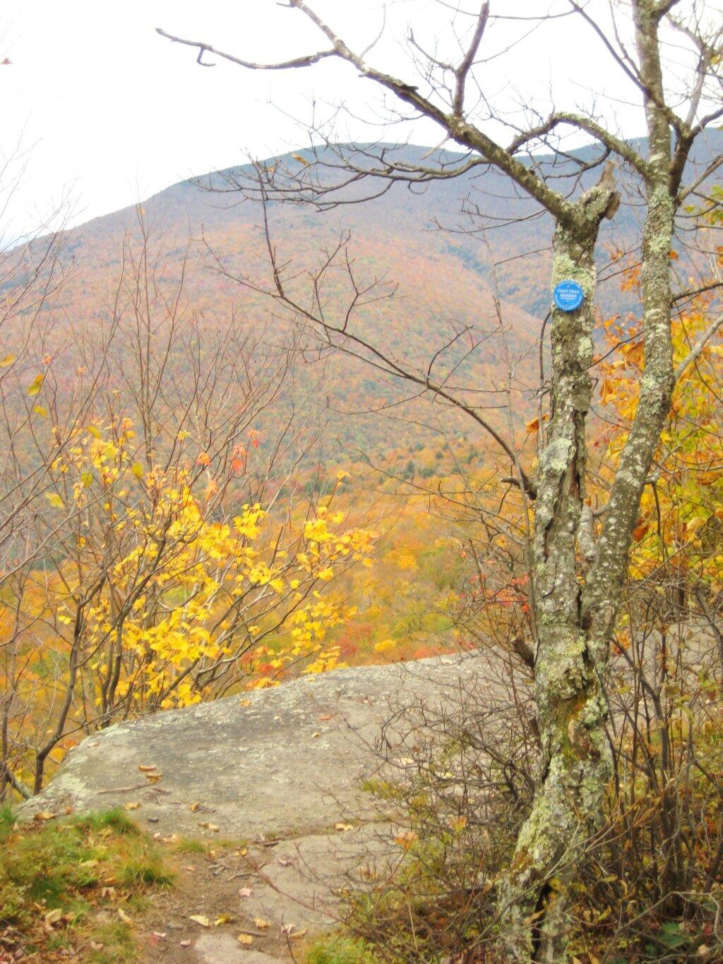
Trail Along the Edge

Off the main blue trail on Giant Ledge, there are two campsites at are primative, but nice. This also leads to a trail with views of the Big Indian Valley
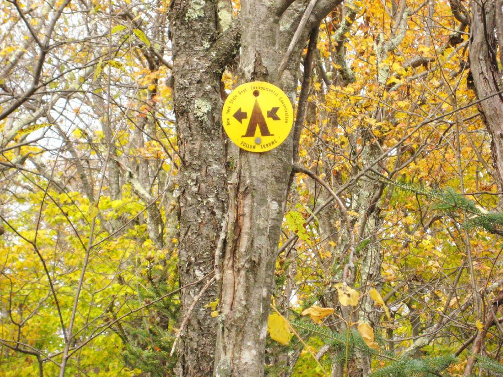
Camp Here

Here is the second of two designated campsites on Giant Ledge. There are no campsites on Panther Mountain, which is too high to allow camping. There also is camping on the lower portion Slide Mountain, minus the wonderful views.
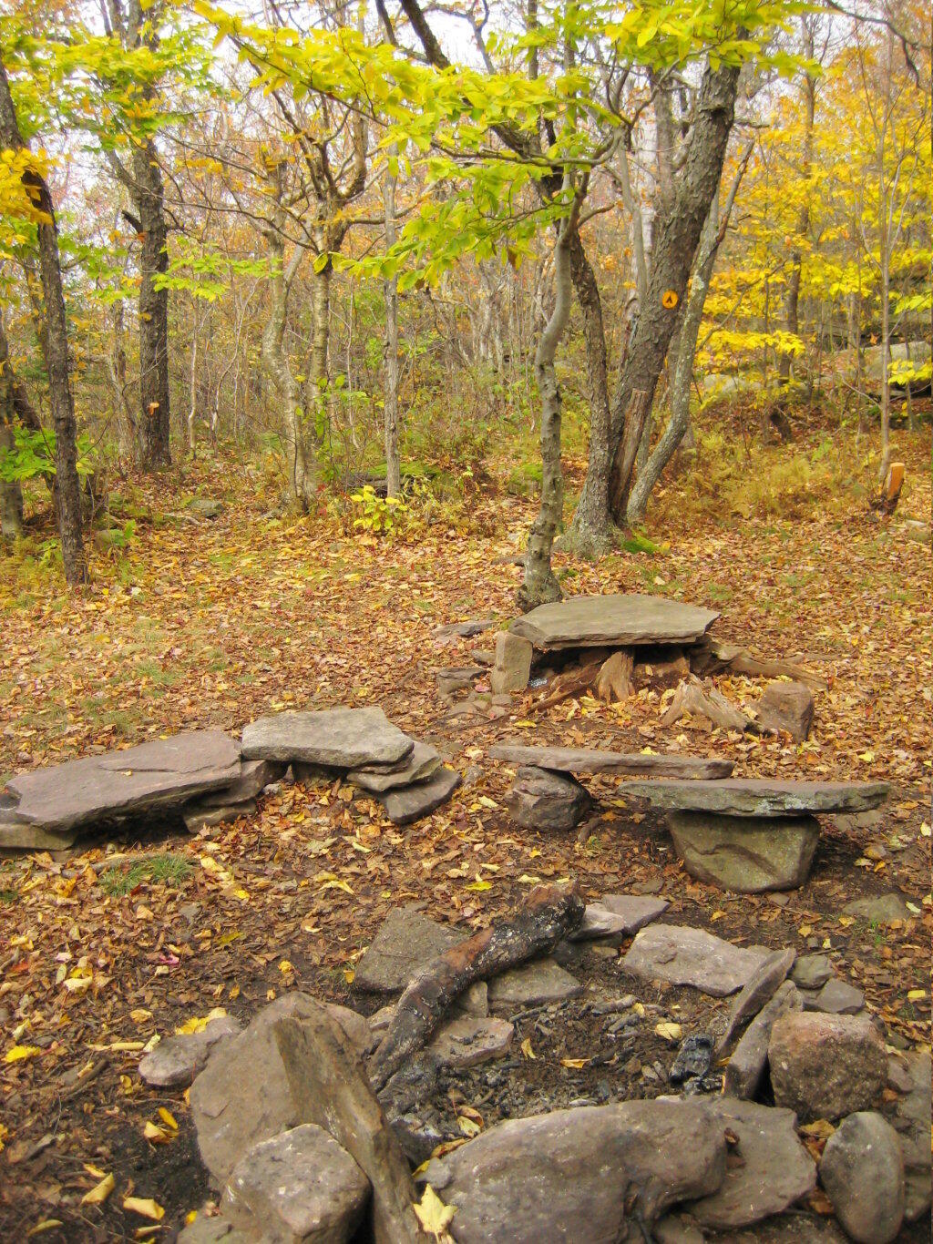
Campsite 2

After you hike across the trail to the campsites, there is another short little trail that runs over to a viewpoint with views of Big Indian Mountain, and the Big Indian Valley (where Slide Mountain Road runs).

Across the Potamac River to West VIrigina [Expires November 12 2023]

From here, I hiked up Panther Mountain. Here is a map of the hike.


View Hikes of 2009 in a larger map

Map: Green Mountain National Forest North
Map: Green Mountain National Forest South

Panther Mountain

The same day I visited Giant Ledge, I also hiked up Panther Mountain. Panther Mountain is about 750 feet higher then Giant Ledge, and is one of the high peaks, at an elevation over 3,500.

Hiking

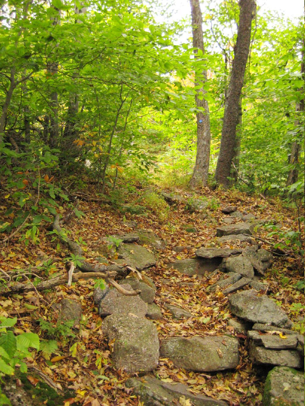
Portions of the trail are made up of rock stairs up the mountain. Other parts you climbed up rocks, but nothing too steep.

Stairs

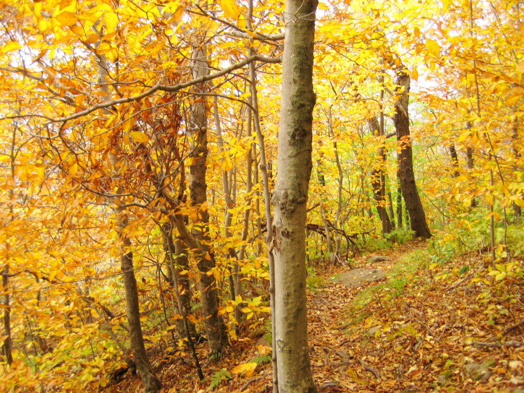
Along the trail in full color.

Color on the Trail

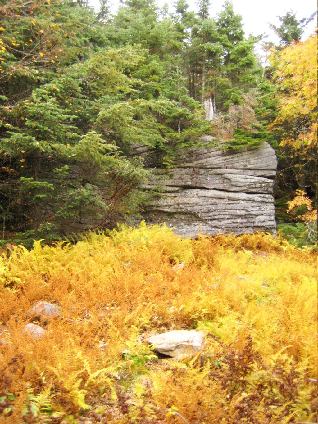
Interesting swamp with the ferns a bright yellow color.

Rock and Marsh

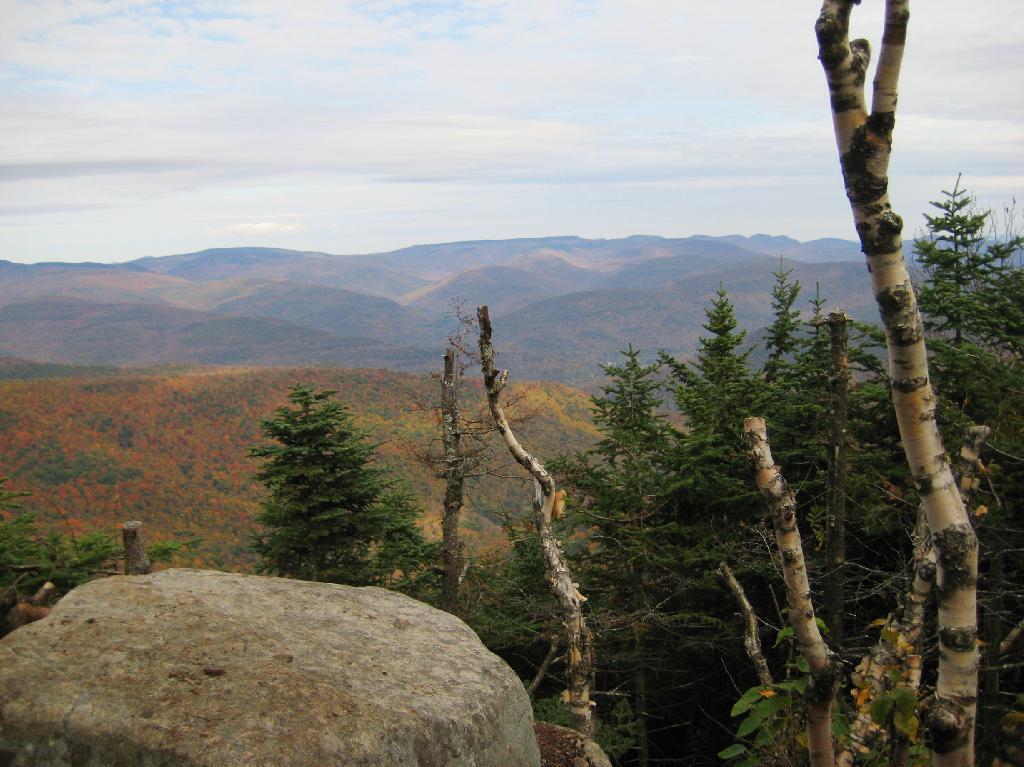
A top the mountain, one of the first views is on top of a boulder.

First Good View off Panther

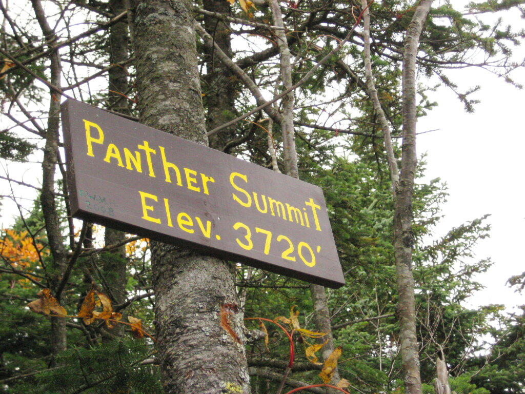
The Panther Summit is at 3,720 feet.

Panther Summit

One of the best views off the mountain was how clear Indian Head Mountain looks from off of Panther Mountain.

Indian Head

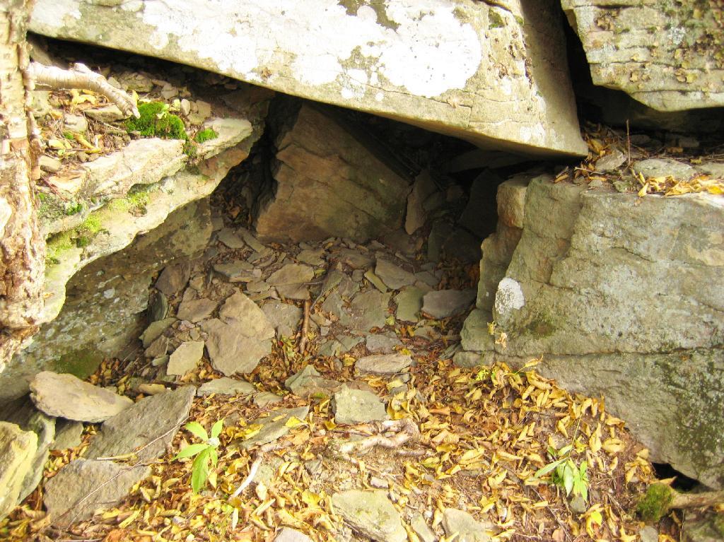
Off the trail, there is this cute little cave.

Cute Little Cave

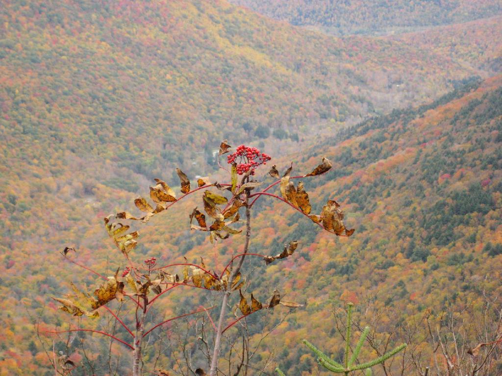
Looking into the Woodlawn Valley.

Berries

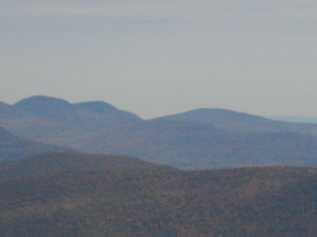
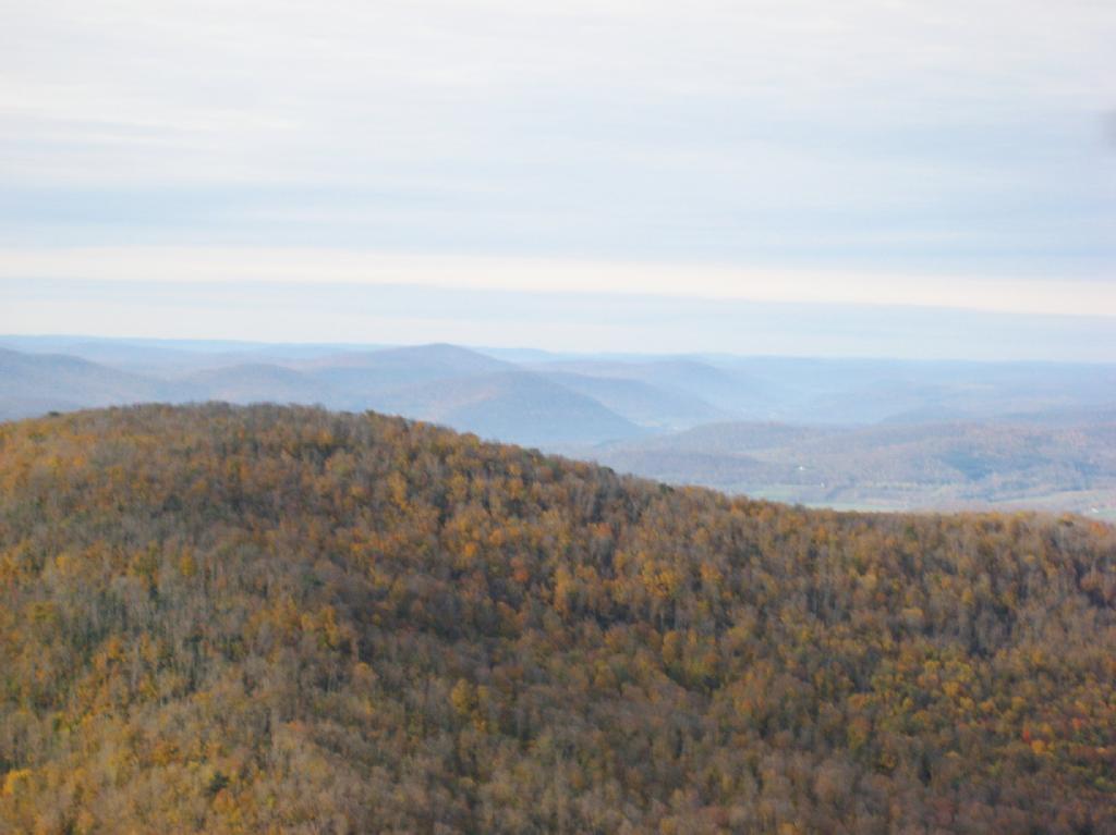
Mountains through the valley, looking off of Panther Mountain.

Mountains

Here is map of hike.


View Hikes of 2009 in a larger map

Mount Utsayantha

Mount Utsayantha is a village park, high above Stamford, NY. It is accessable either by driving or hiking up a steep one-lane truck trail. I decided to drive up, mainly because I was interested in the view more then the hike up (which would be delightful too).

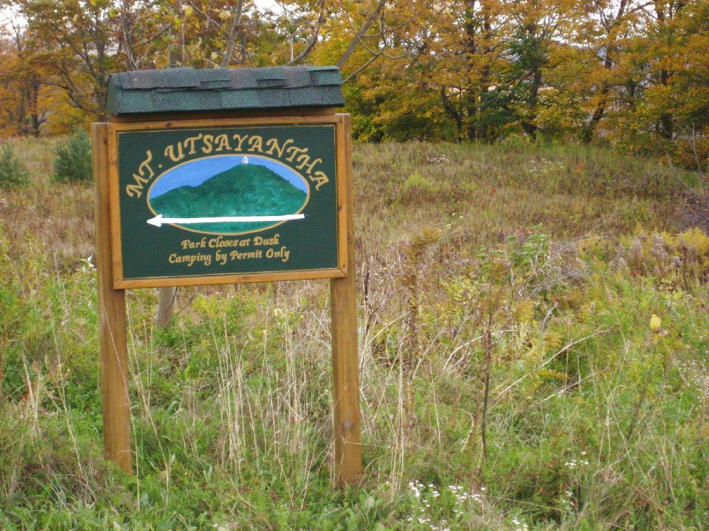
Sign for Mountain

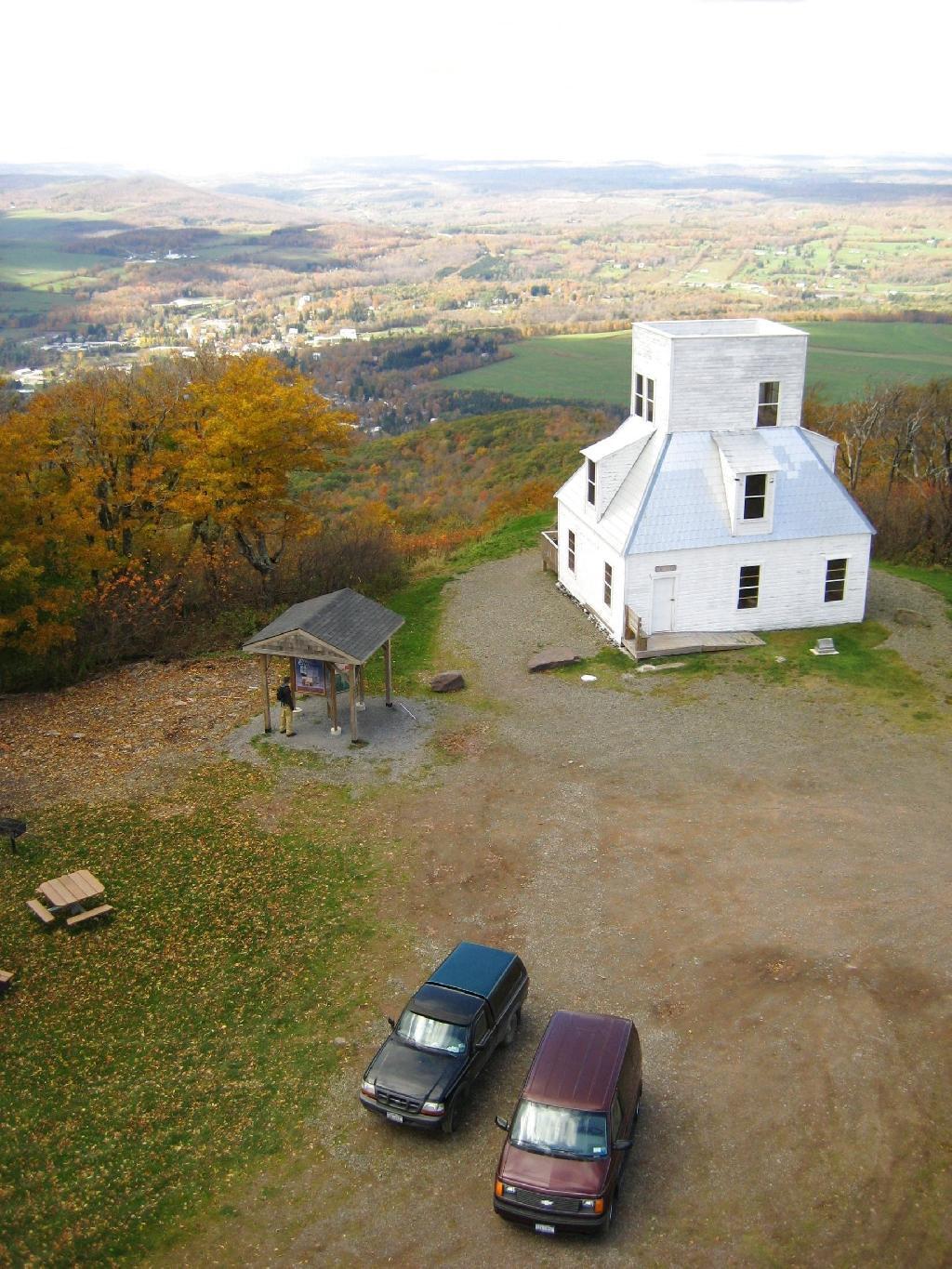
Here is looking off the firetower at the former gift-shop/observation building that was badly vandalized and is in process of being restored.

Observation Tower

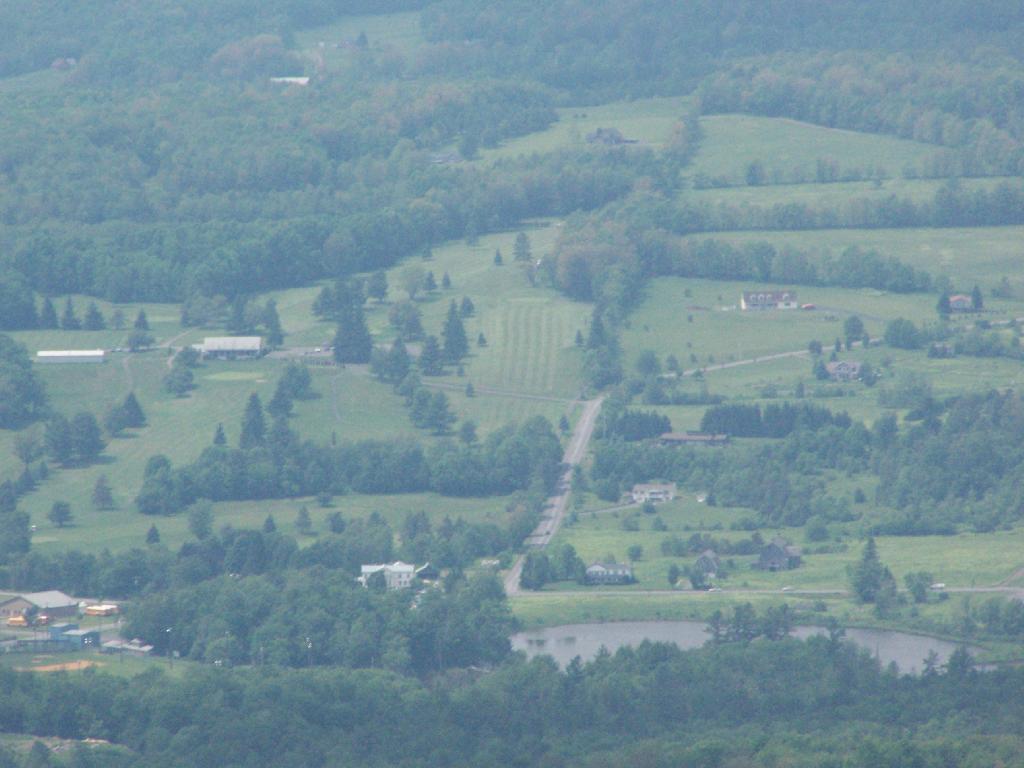
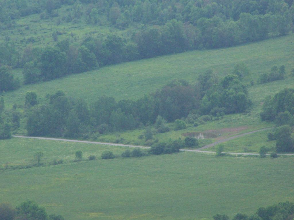
Driving up the truck trail to the park, when you almost reach the top, there is a location where you can pull off, and looking for a wonderful northernly view, with farmlands in the foreground, and Emmenence State Forest in the distance.

North West of Stamford

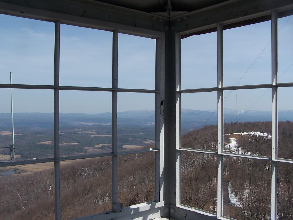
The views from atop of the fire tower are nothing short of amazing. This is from inside the tower, looking out the windows.

Tower Windows

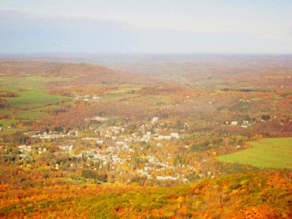
Here is Stamford, NY, looking off the mountain early on October 12th. They say on a clear day, in the distance you can see out towards Oneonta, or at least Hartwick College high up on the hill.

Morning in Stamford

This is one of the amazing views looking out of the windows from the cabin of the fire tower.

Untitled

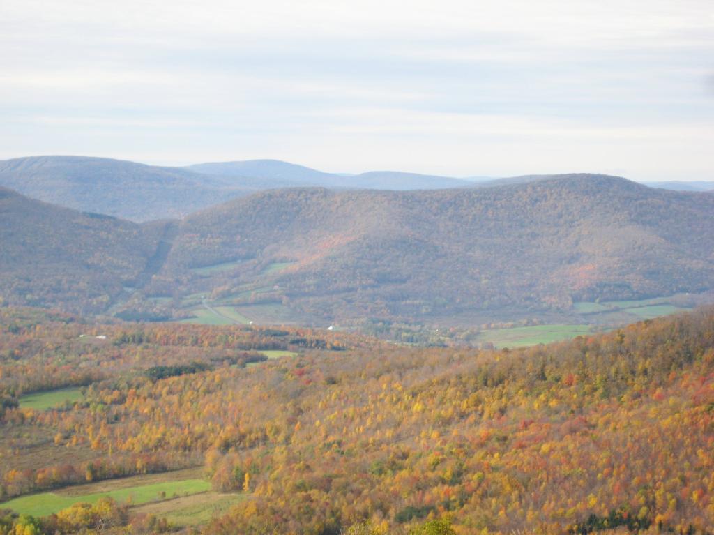
Here is Churchhill Mountain in the foreground, with Lyon Mountain and Cowan Mountains in the background.

Western Catskills

There are several radio towers on Utsayantha Mountain, which sometimes get in the way of pictures, but it’s still amazing what you see from the tower. In the background you see the area around Grand Gorge, and Irish and Pine Mountains inside of the park.

Untitled

Here is the largely forested area north of Stamford, around places like Summit.

Curvature of the VZ Bridge

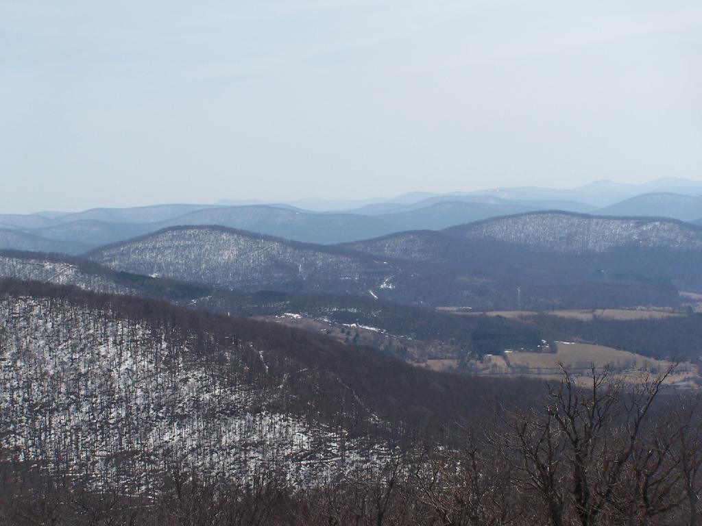
These are the many peaks around Roxbury, looking into the western Catskill Park.

Untitled

The Mount Utsayantha Fire Tower.

Tower Mountain Road

If you ever heading over NY 23, heading back from Oneonta to Albany, or otherwise can take a detour from NY 30 in the area of Grand George, it’s well worth to take a drive up to Stamford, and then up to the fire tower.

The truck trail up to Mount Utsayantha is unmaintained in the winter. Once ice sets in on the trail, you’ll be pretty much limited to going up it with snowshoes or x-country skis (if your careful — it’s steep). It’s probably very cold and windswept in the winter, but the views are probably still amazing.

Here is a map. To get there, take NY 23 East from Stamford to Tower Mountain Road on the outskirts of town, then drive Tower Mountain Road for about 2 miles, until you reach the top of a ridge. You can park from here, and either hike/snowshoe “Utsayantha Mountain” the dirt road a mile to the top or drive up it in nice weather.

The Mount Utsayantha Project by the Village of Stamford and the Catskill Center for Conservation and Development has more information this mountain with amazing views.

Map: Green Mountain National Forest North
Map: Green Mountain National Forest South

Shitty Toilet Paper

Notes on the Re-Run for Sunday, August 7th.

Please use care when disposing of your human waste. Use an outhouse when possible, always do your business 150 feet or more away from water. Don’t bury toilet paper, bag it and burn in the next campfire instead. Keep our forests clean!

— Andy

One of the things that strikes me as a problem in the great outdoors is how people don’t know to take care of their personal waste, particularly their shitty toilet paper and dirty tissues.

There are people who wouldn’t think of littering a candy bar wrappers, tossing a glass beer bottle over the side of a mountain, or dumping the remains of roofing project in the woods, are quite happy tossing tissues along the side of the trail, or leaving used toilet paper blowing in the wind.

The worst is when you find it nearby water or maybe nearby some place where you might want to camp. I don’t want my water messed up with giardia or beaver fever. It’s just disgusting, because it’s clear evidence of water contamination.

Shitty toilet paper….
just plain disgusts me to no end.

Yet, there is an alternative. Do not shit near water, trails, or campsites. This will keep your butt from showing and protect our water supply. And just make sure to pack out and / or burn any toilet paper you use. Bring a plastic bag, toss your paper after using in there, and seal it up.

Fire

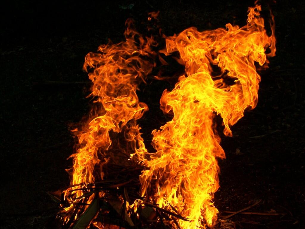
If you have a hot campfire, toss the bag of shitty toilet paper in there and let it burn. As long as the fire is hot, it won’t smell and will be gone instantly. The thing is you don’t want to leave toilet paper around, for the next person to find, when some animal has dug it up and dragged it out along the trail.

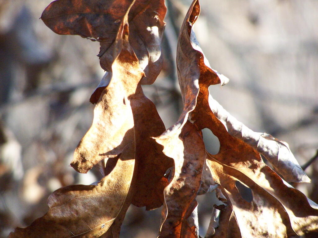
Alternatively, use leaves. They aren’t as great as toilet paper for wiping things up, but if you don’t want to take your toilet paper home with you or burn it, do the right thing, and just use leaves and bury them far from the trail.

Drives Leaves

Do us all a favor. Don’t leave used toilet paper or tissues as a present for all to run into in the woods.

Joesph Davis State Park

Joesph Davis State Park was one of the series of parks built in Niagara County during the 1950s when the county under went major changes, as the Fort Niagara Military base was turned over to state hands and then turned into the Robert Moses Parkway, and a series of parks. On weekends in the summer, there is a fee to park a car in the picnic area, and hunting is allowed in season.

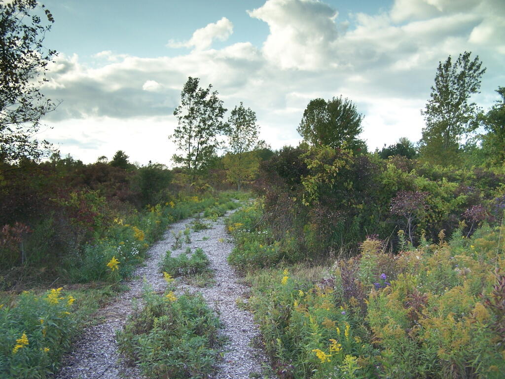
Path

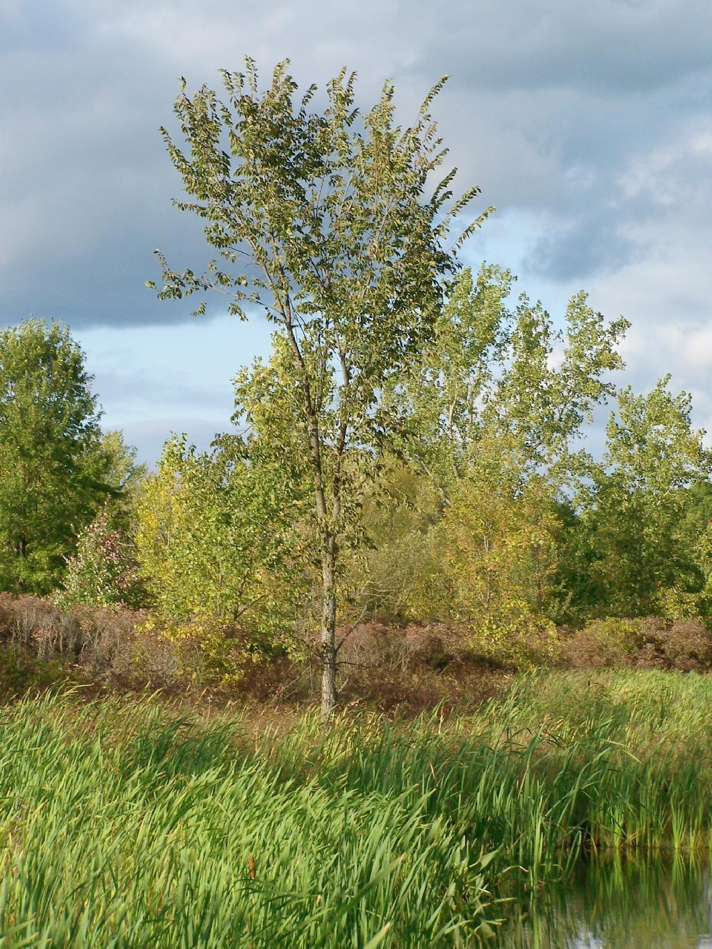
Sadly, most of this area was not well maintained or even well developed. The land is flat, but it is still interesting with a series of small ponds and trails that wind through it.

Tree

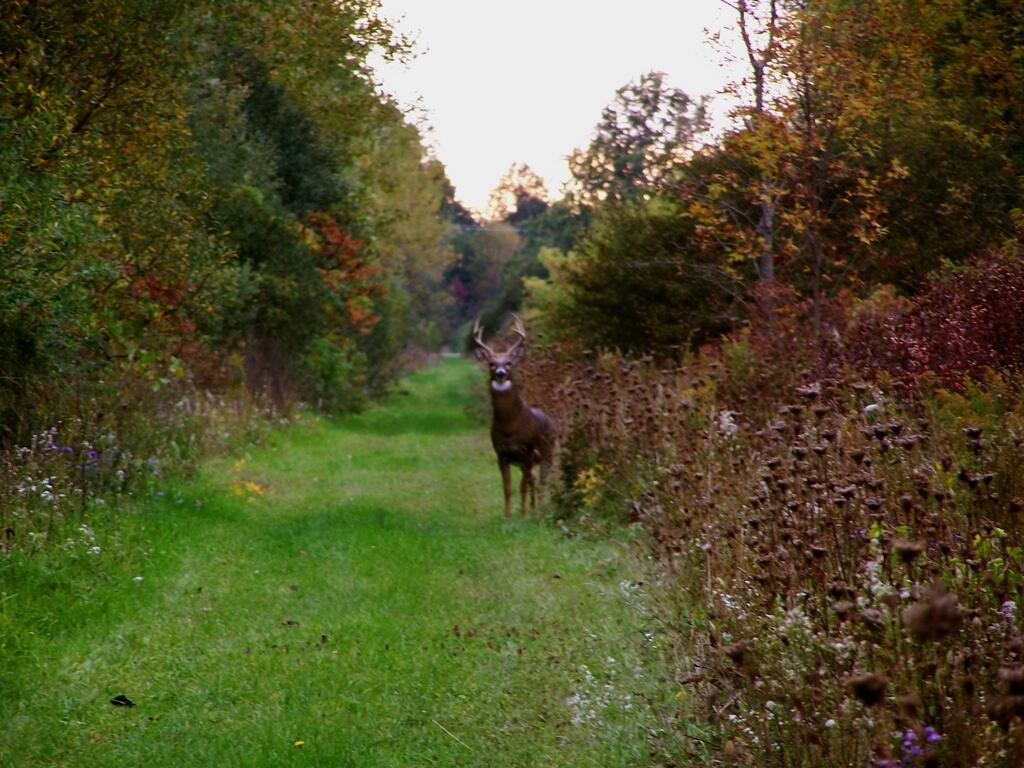
There was all kinds of wildlife through out the area, including this nice looking buck.

Buck

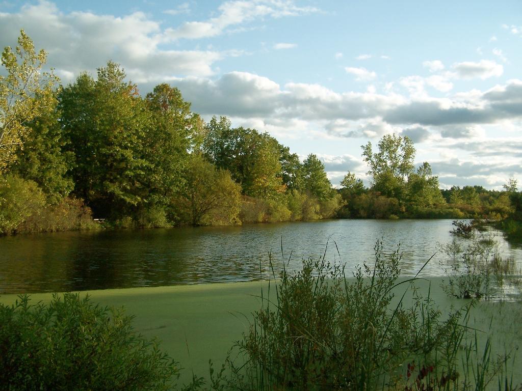
This pond was pretty.

Pond

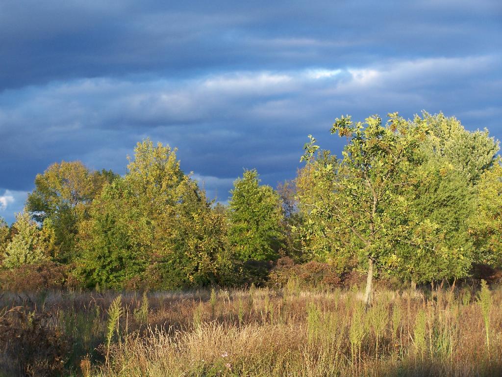
As the evening approached, the sky darkened over the east, but sunrays lit up the foreground.

Dark Sky

Here is a map of the hike.


View Hikes of 2009 in a larger map