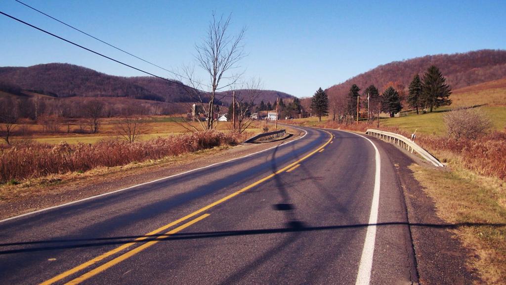
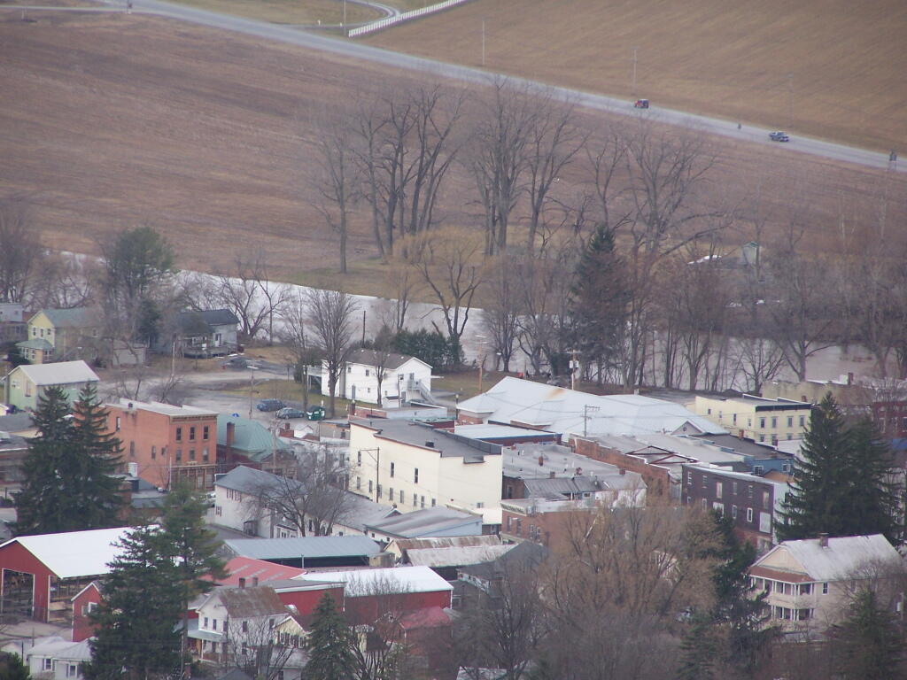
I really like the Commonwealth of Pennsylvania and it’s culture. Reminds me a lot of the New York of yesteryear. Yet, unlike New York State, where the urban culture of New York City, with its nanny-state laws and regulations, seems to have such a grip over the State, Pennsylvania seems to be a lot more wild and free. Public servants tend to be friendlier their, the public land seems to be more better maintained and open for more varied uses, and the state seems to be more open to the ideas and beliefs of rural folk like myself.
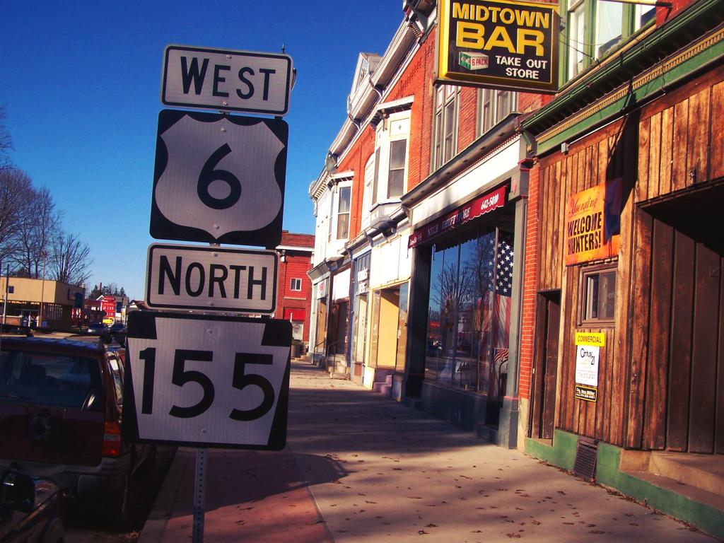
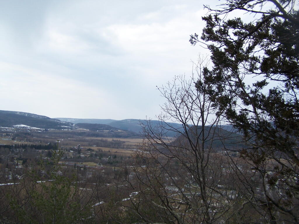
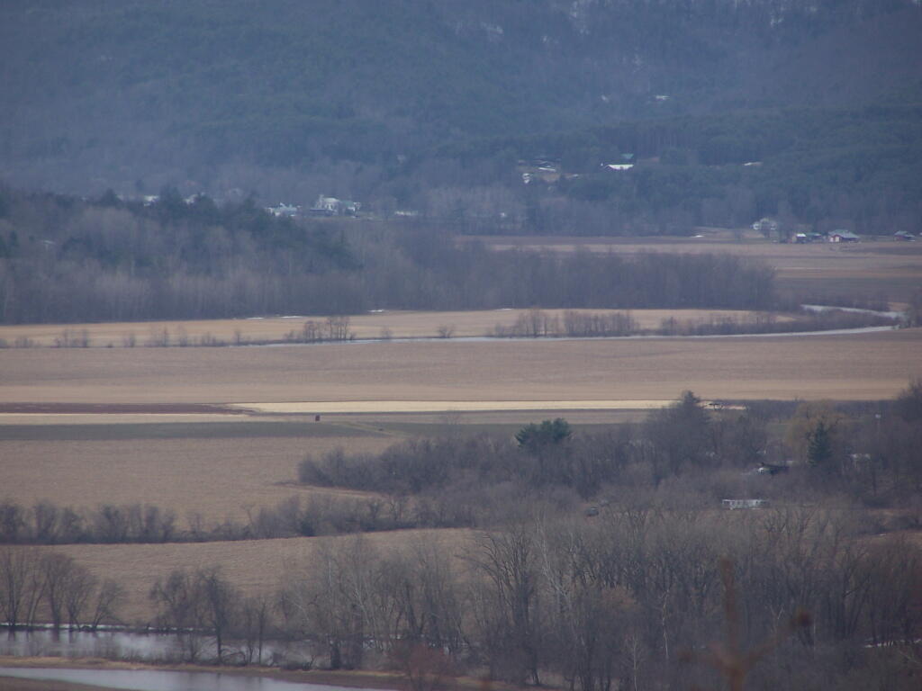
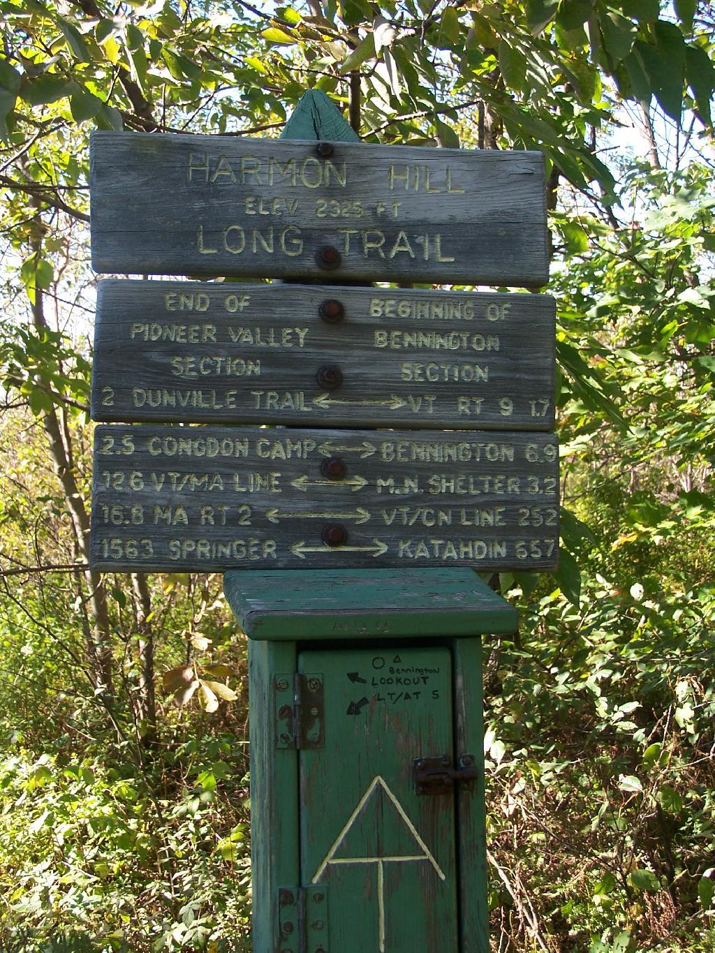
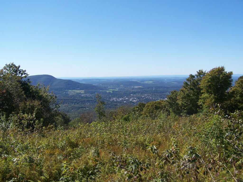
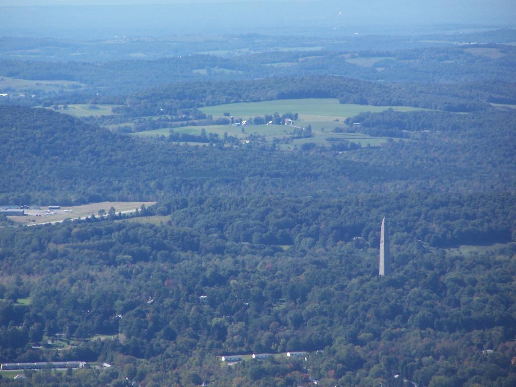
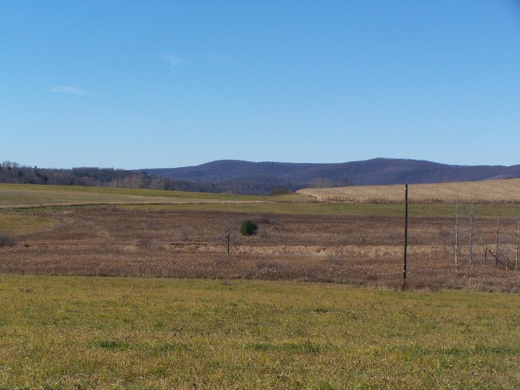
I like a lot of things about Pennsylvania. It has vast tracts of public land in the North-Western portion of the commonwealth, and a healthy base of agriculture in other regions. A lot of state is very rural, and the Capitol of the state is far less metropolitan then New York. While Philadelphia may be a metropolitan center of commonwealth, other areas like Pittsburgh and Scranton are far more working class and connected with the farm land around it.
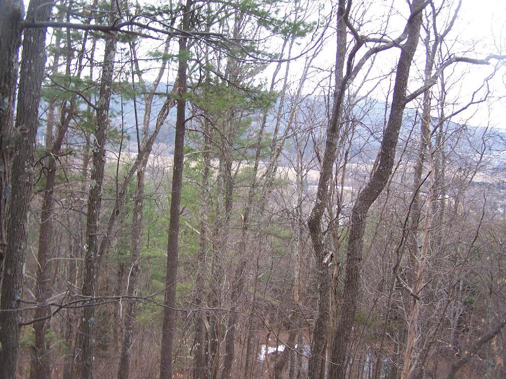
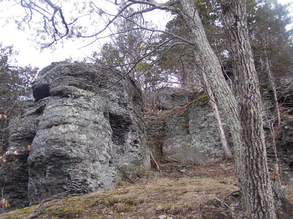
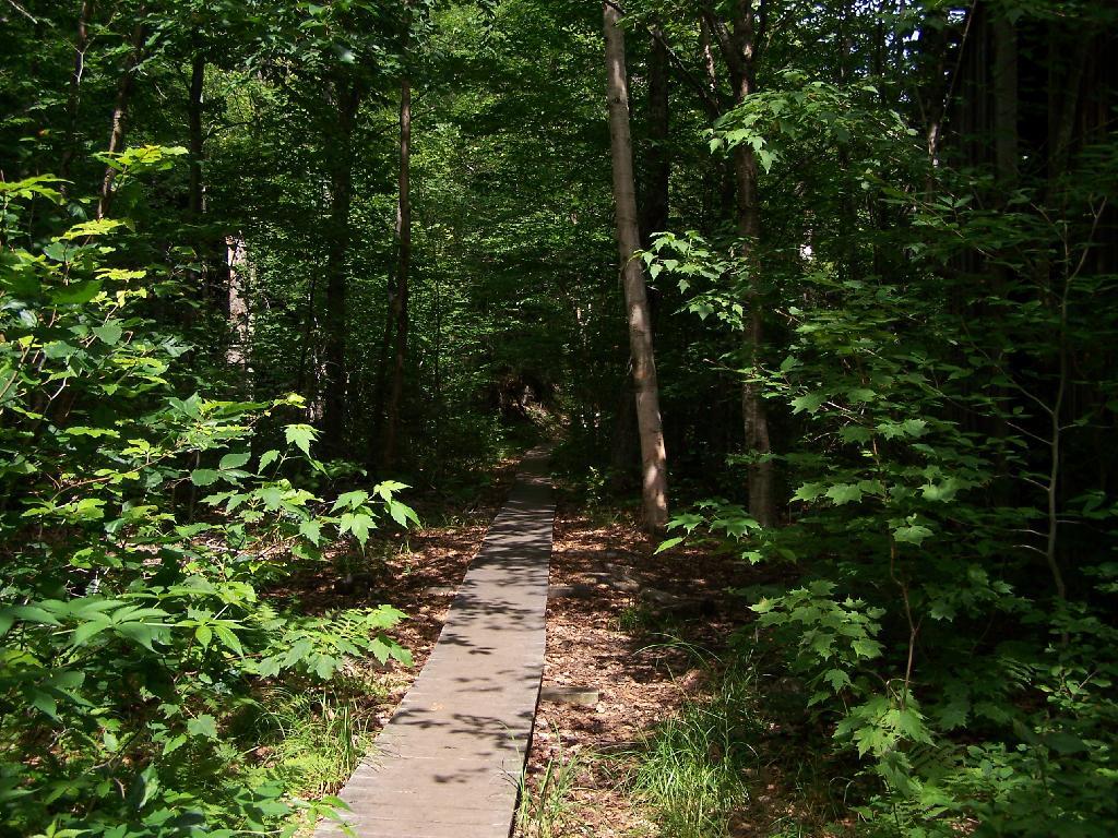
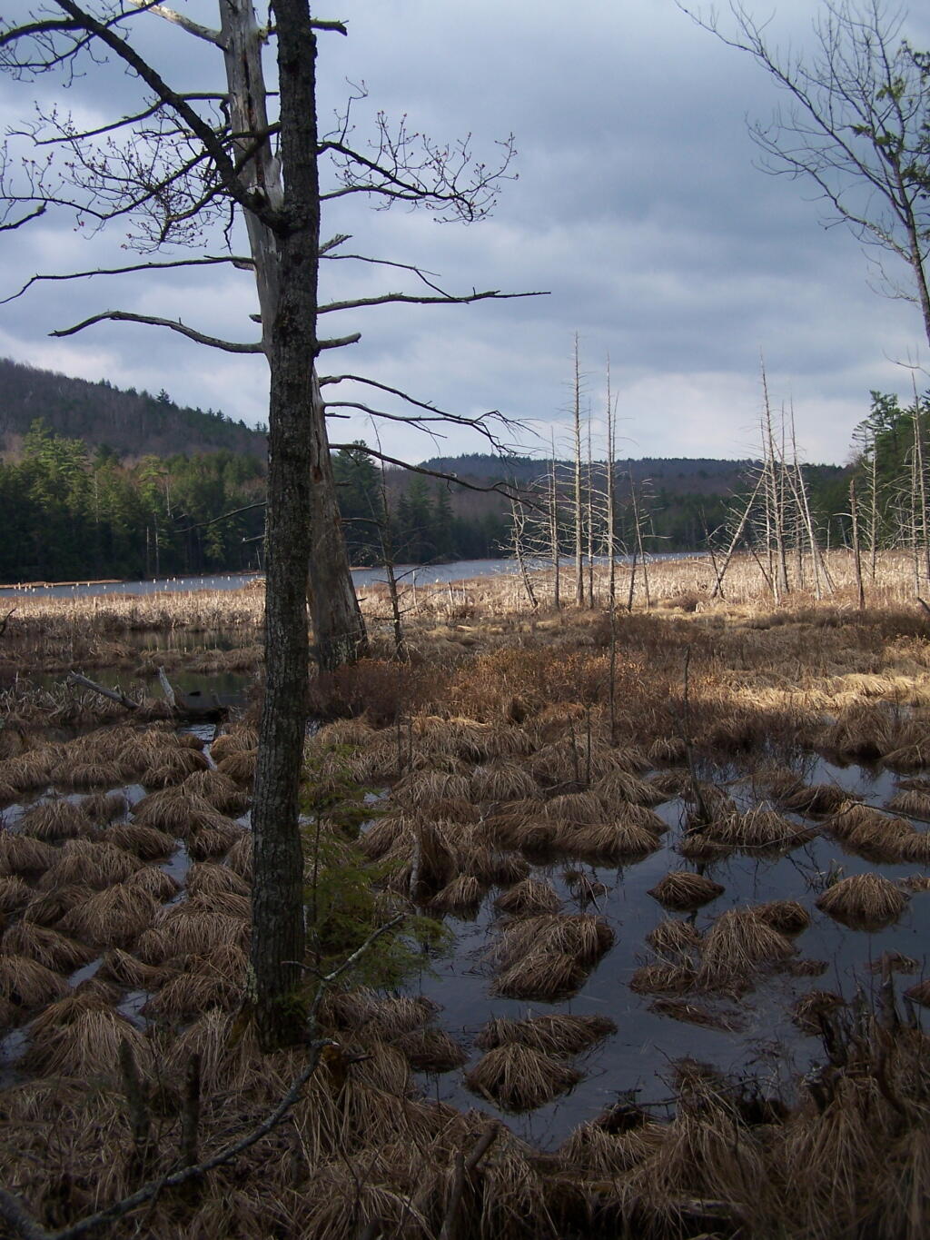
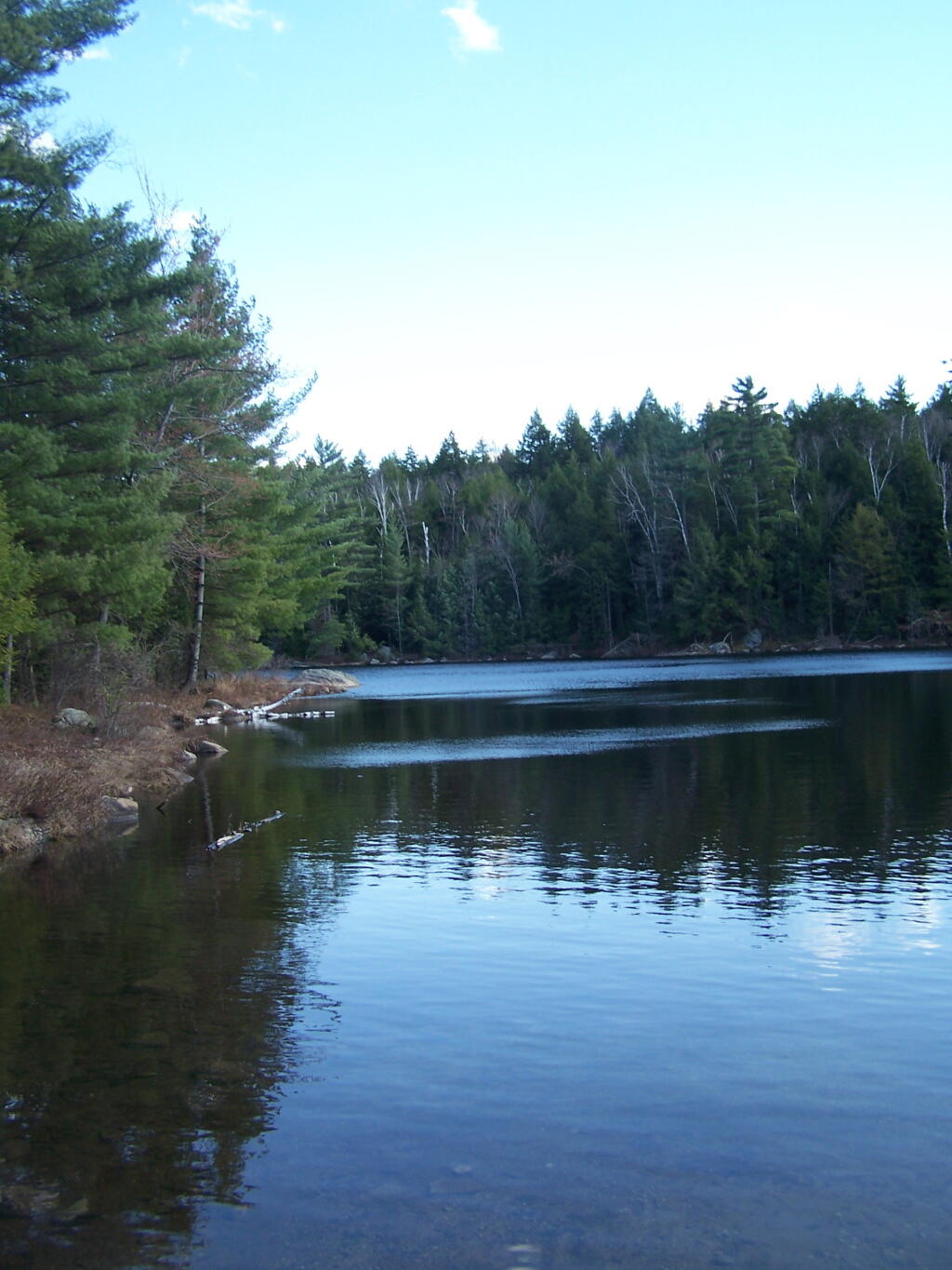
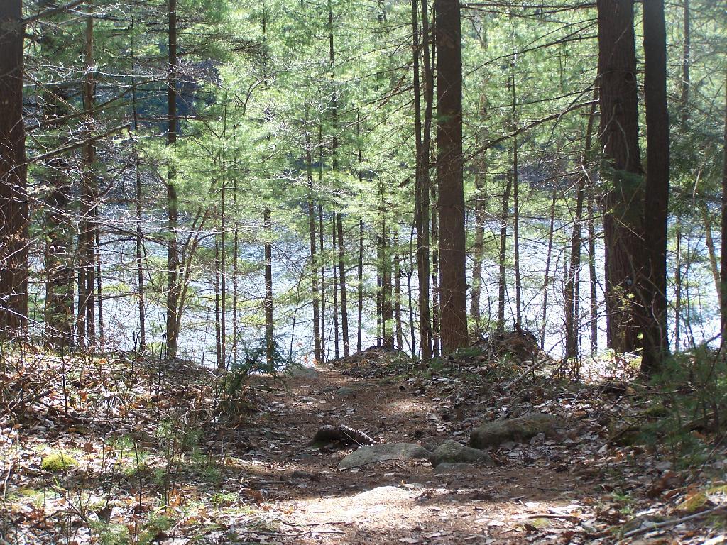
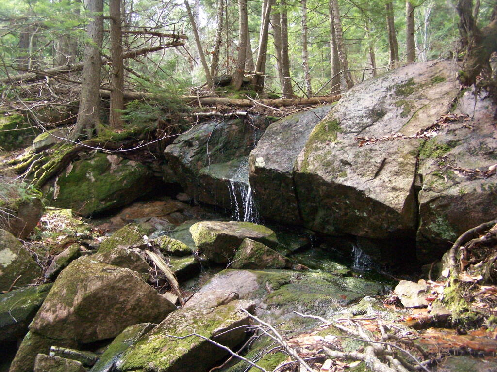
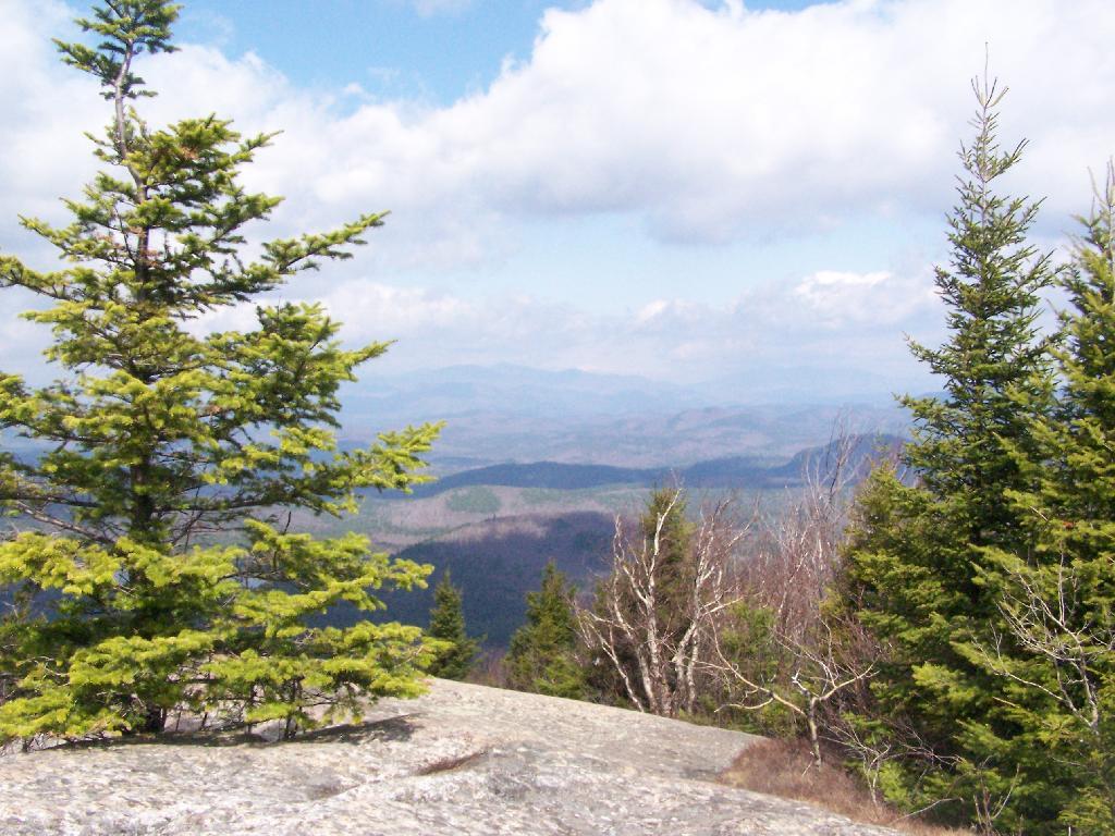
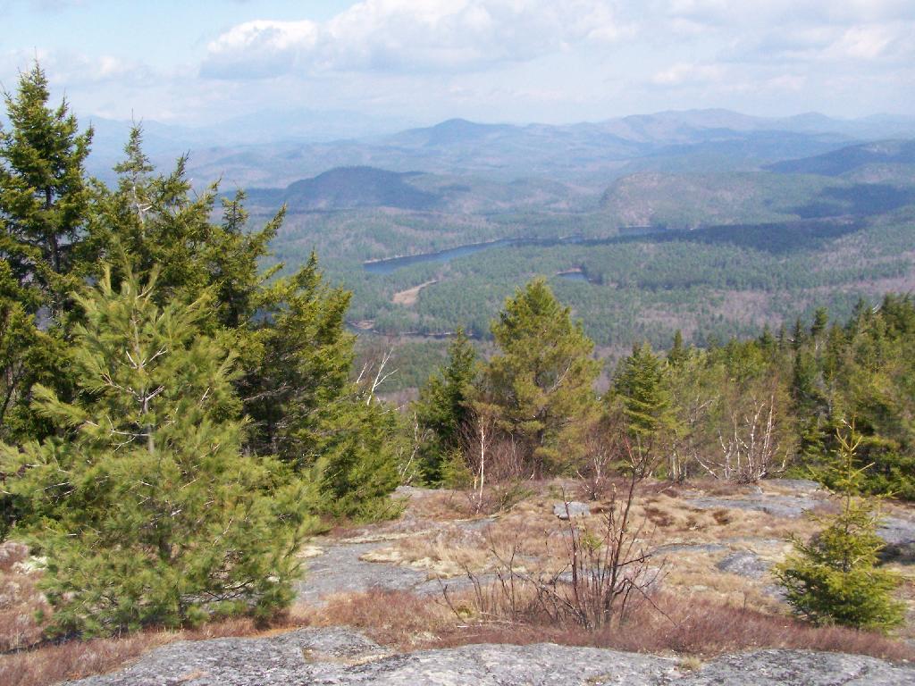
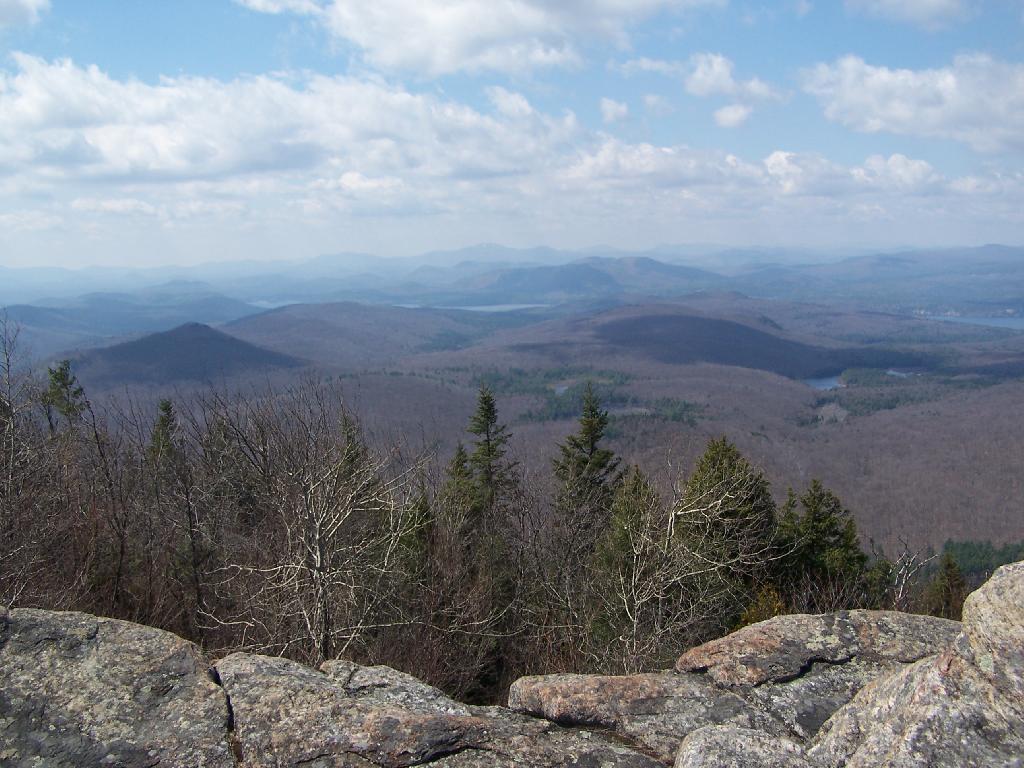
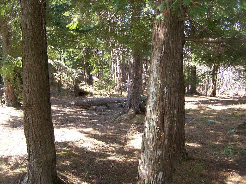
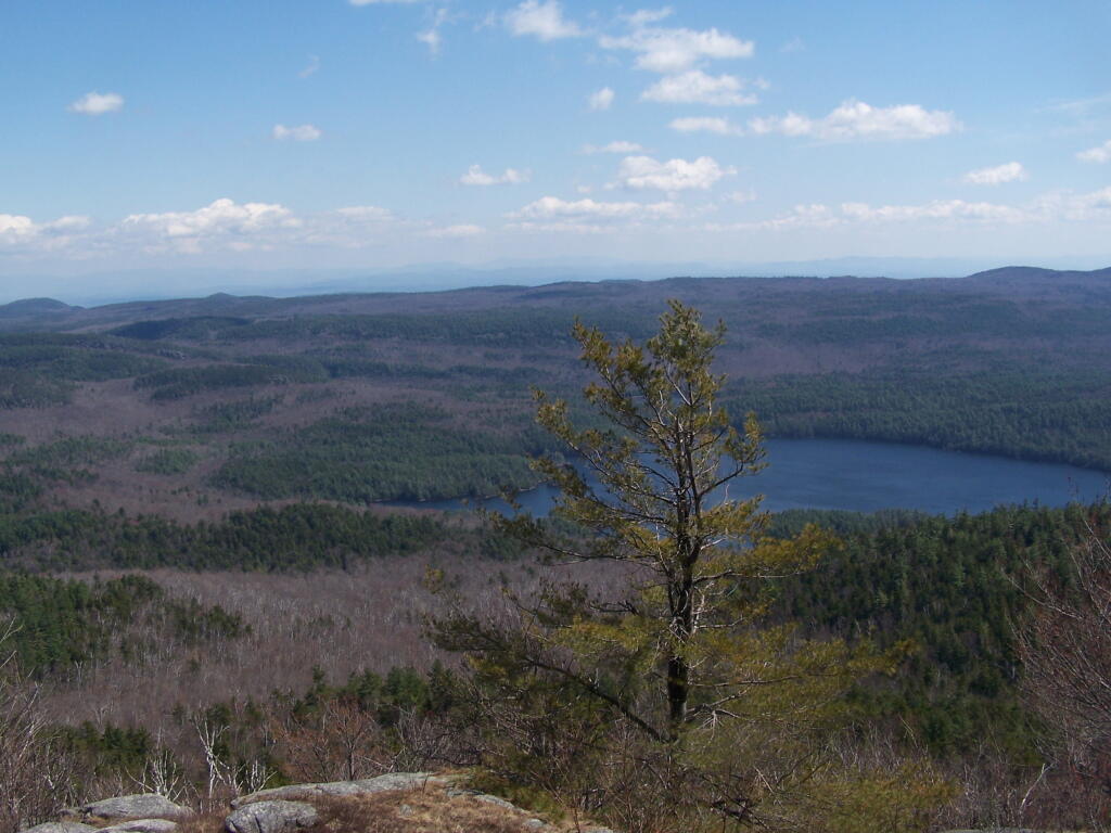
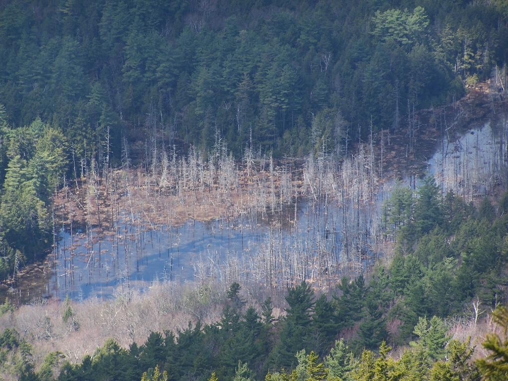
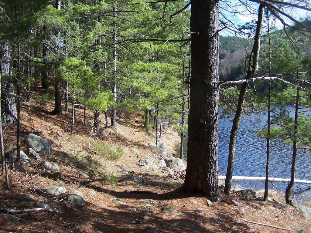
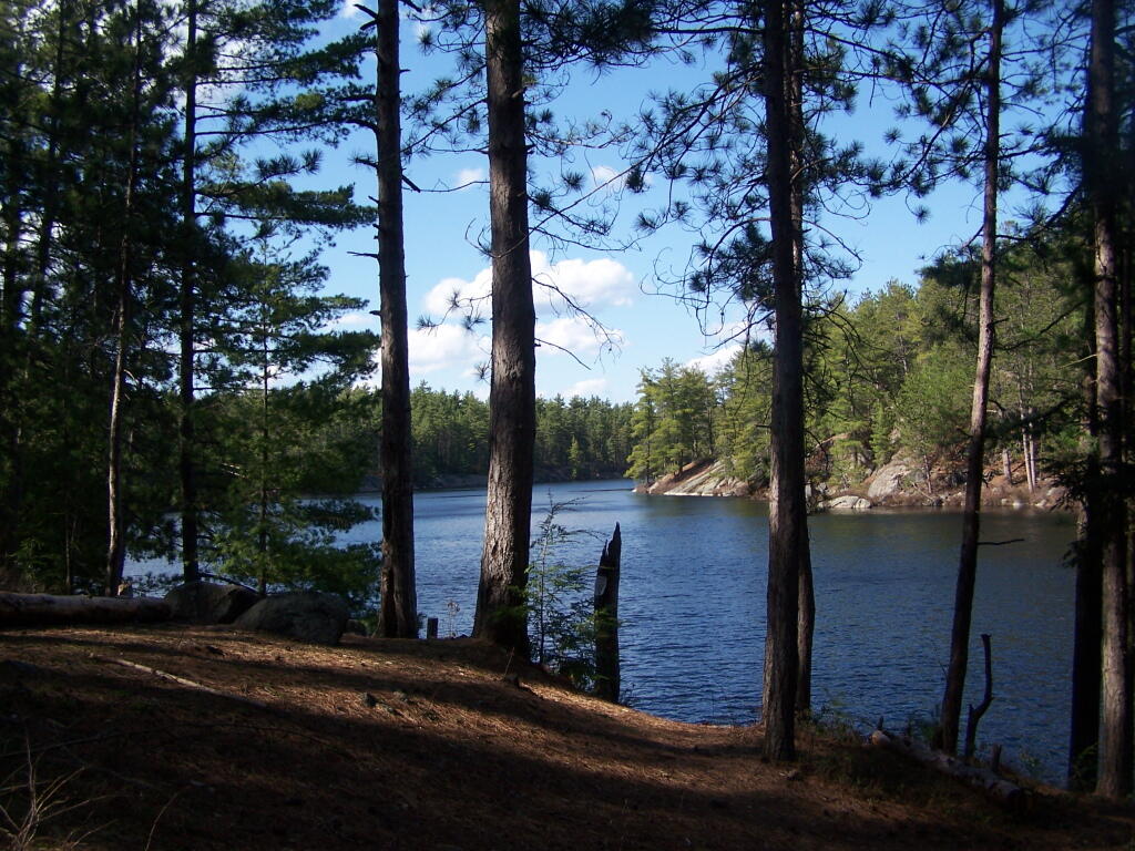
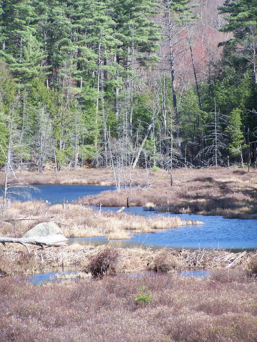
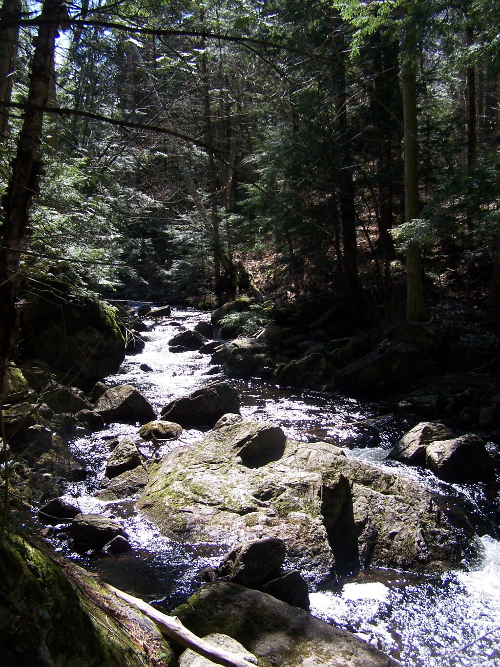
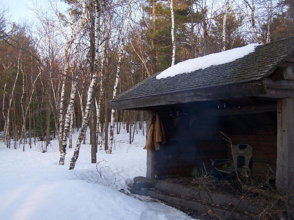
…even the small things in Pennsylvania are nice.
There is minimal state gun control statues, no need to get a pistol permit and pay money to have every handgun in one’s house listed on a statewide registry. You want a gun in Pennsylvania, you pay money, and it’s yours.The right to farm is strongly upheld, and their isn’t a culture that wants to go after all hunting, fishing, ATVs, snowmobiles, wood boilers, burn barrels, coal furnaces, or natural gas drilling. Rural folk in Pennsylvania do what they need to do, without being looked down at and controlled by the urban folk.
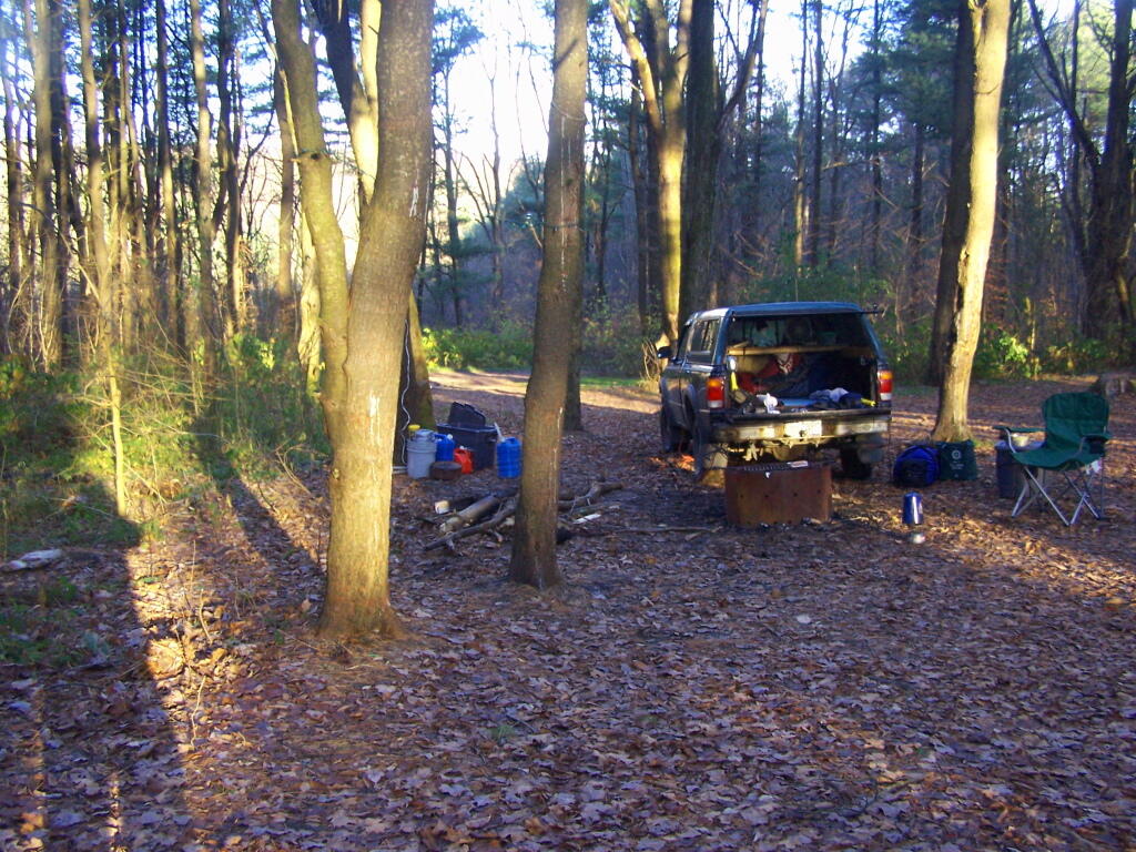
I could see some day moving to Pennsylvania, owning some land out in the sticks. Doing a little hobby farming, raising some cattle and chickens and other animals, have being bonfires and burning whatever I want. Owning lots of guns, having a big pickup truck, a quad, and all of other toys of the good rural life. Taxes are lower in Pennsylvania. A culture that isn’t so controlling of everything.