Panther Mountain
The same day I visited Giant Ledge, I also hiked up Panther Mountain. Panther Mountain is about 750 feet higher then Giant Ledge, and is one of the high peaks, at an elevation over 3,500.

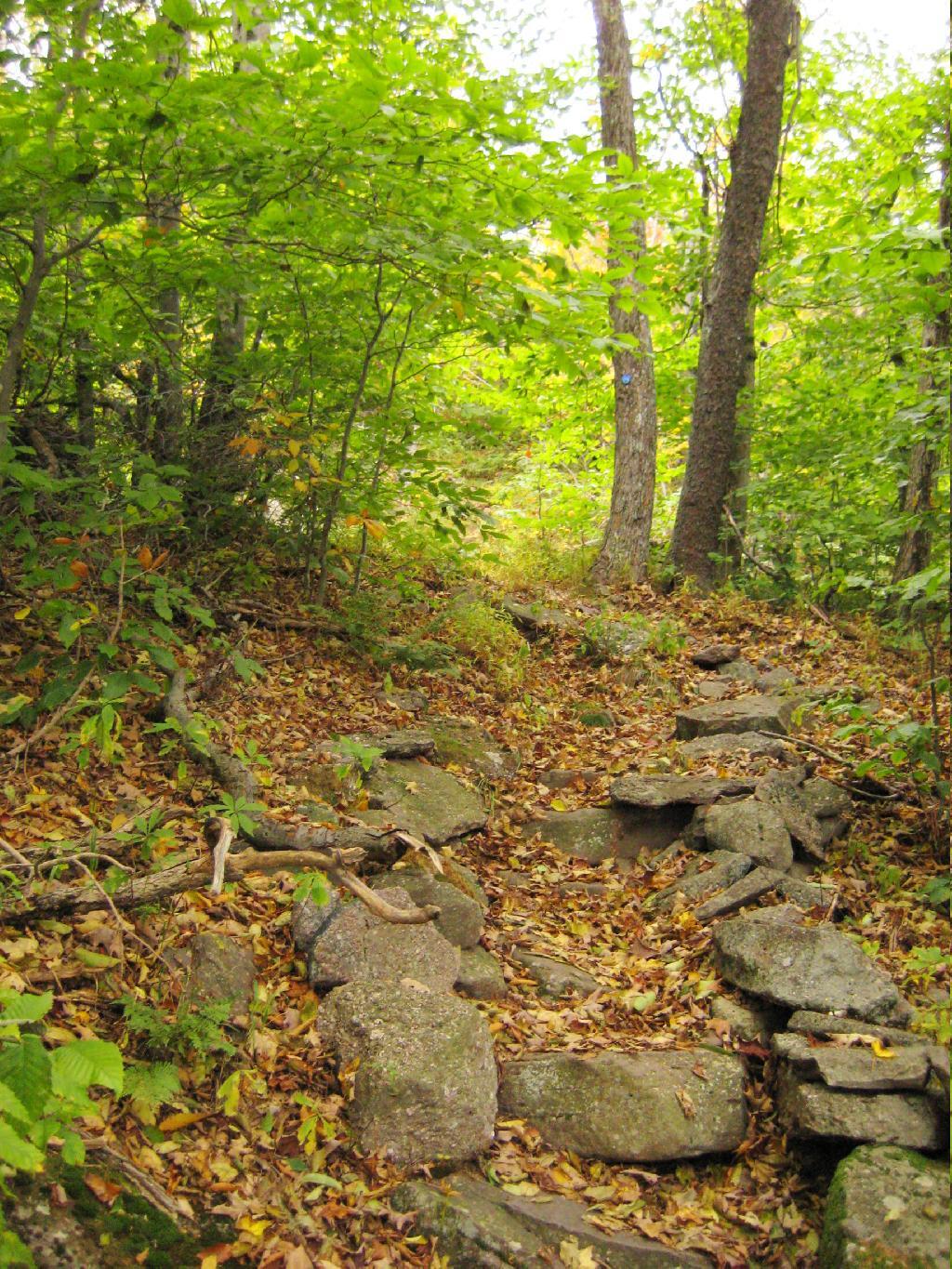
Portions of the trail are made up of rock stairs up the mountain. Other parts you climbed up rocks, but nothing too steep.
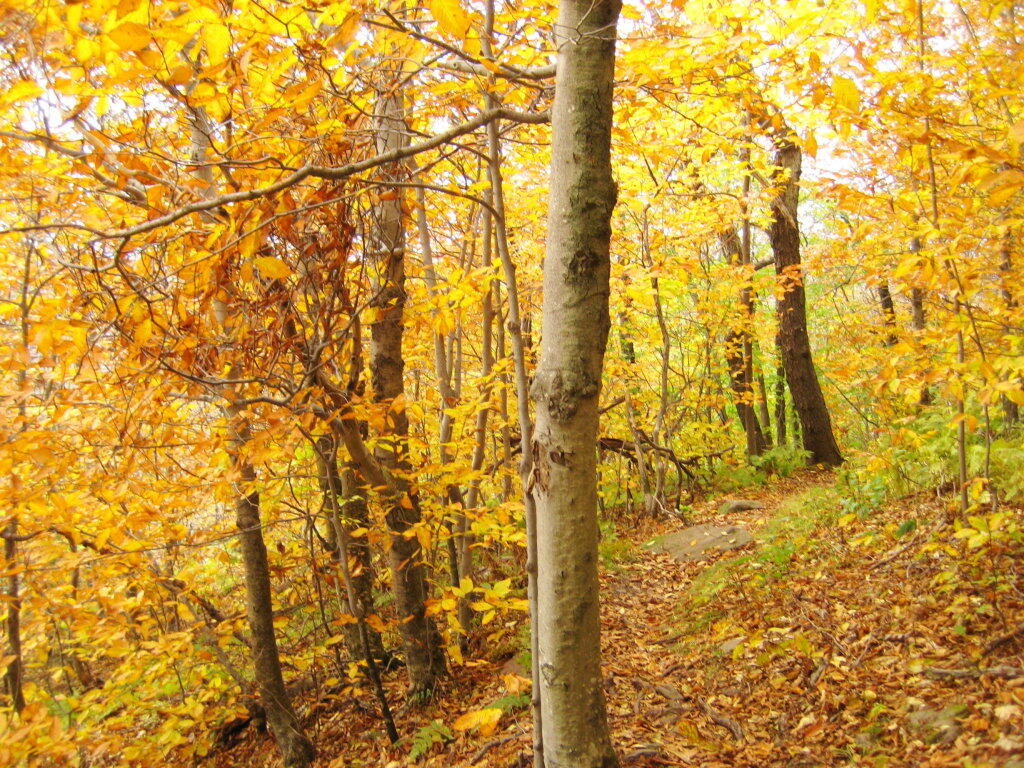
Along the trail in full color.
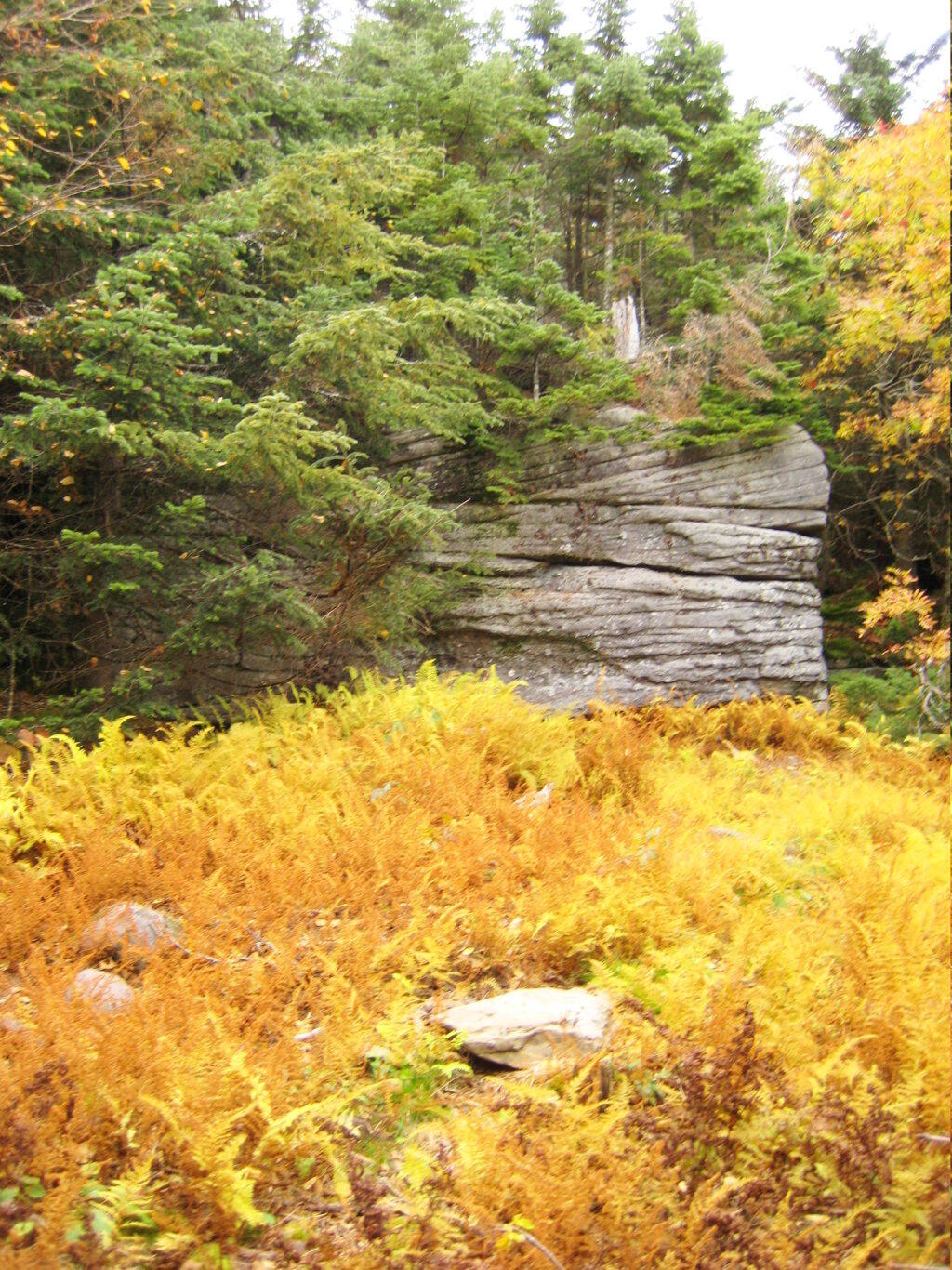
Interesting swamp with the ferns a bright yellow color.
A top the mountain, one of the first views is on top of a boulder.
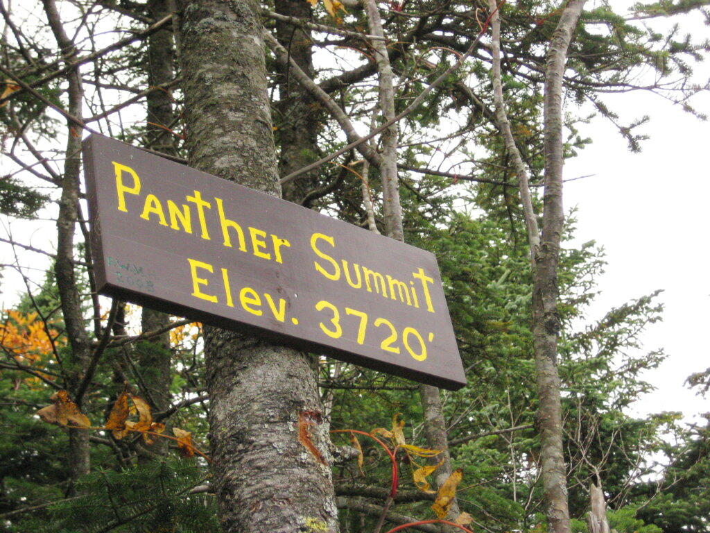
The Panther Summit is at 3,720 feet.
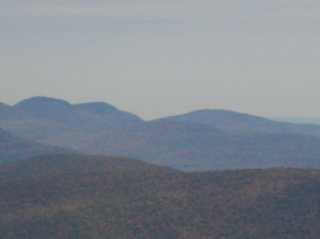
One of the best views off the mountain was how clear Indian Head Mountain looks from off of Panther Mountain.
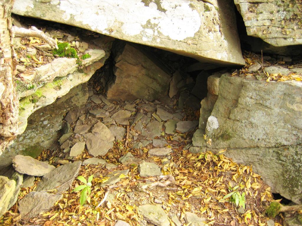
Off the trail, there is this cute little cave.
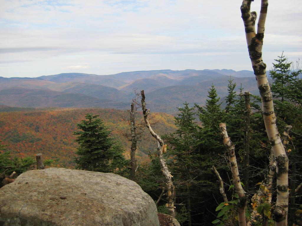
Looking into the Woodlawn Valley.
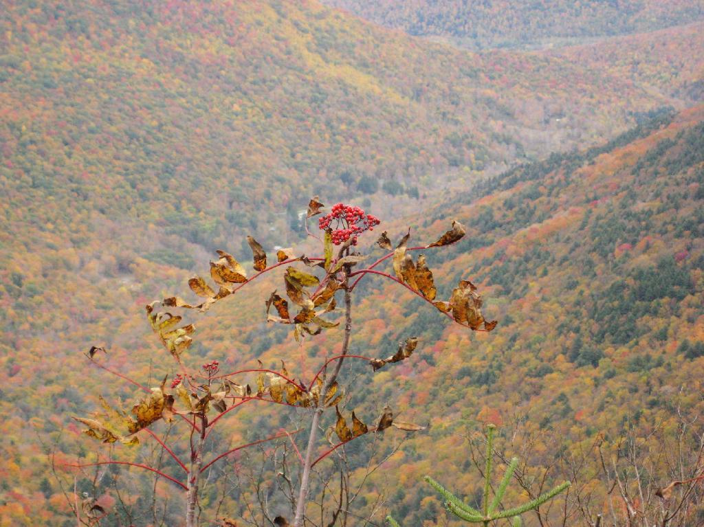
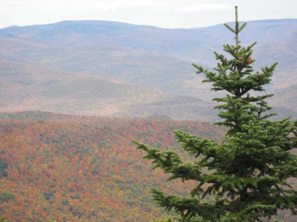
Mountains through the valley, looking off of Panther Mountain.
Here is map of hike.
View Hikes of 2009 in a larger map


