outdoors

11 Fire Towers I Visted In 2009, Part 2

This past year I have spent a great deal of time hiking up mountains and visiting fire towers. Here are pictures of the second five fire towers I visited this year, along with a short description and maps in the second part of this series.

Make sure to all check out Eleven Fire Towers I’ve Visited This Year, Part 1 featured on Monday, November 16, 2009.

June 29, 2009 & June 30, 2009:
Sugar Hill Fire Tower

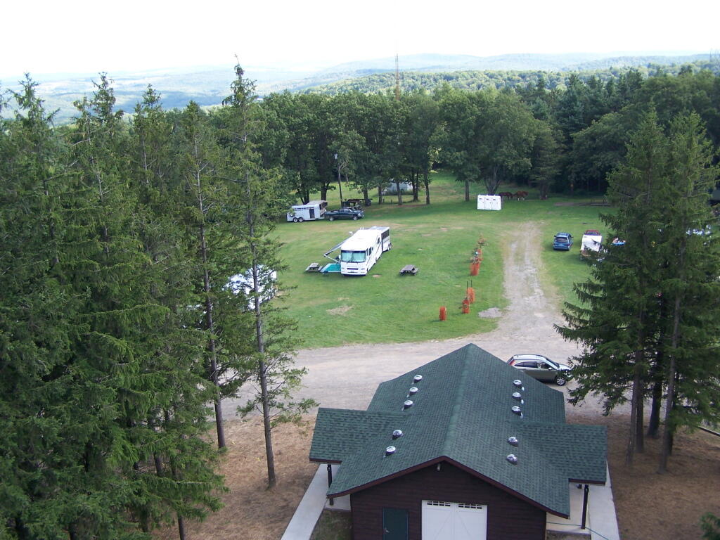
The Sixth Tower I visited, was Sugar Hill State Forest / Horse Camp is located outside of Watkins Glen. It’s an equestrian facility with 50 miles of trail, along with a small hiking/no horses area. They have free camping, and 3 equestrian lean-tos and one hiker lean-to on the Finger Lakes Trail. A definitely cool place to visit if your in the Finger Lakes.

Information and Pictures from my visit to Sugar Hill State Horse Camp.
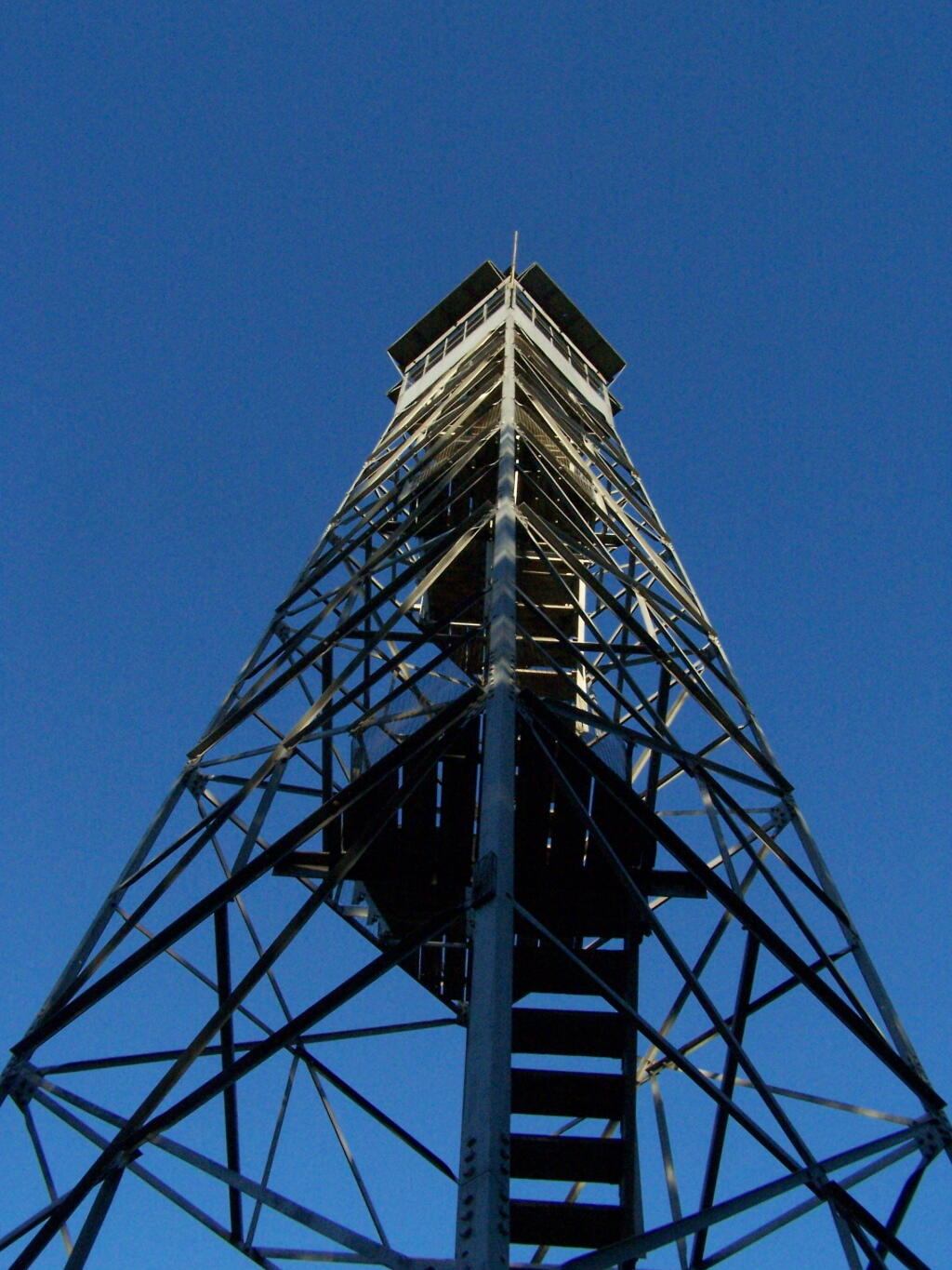
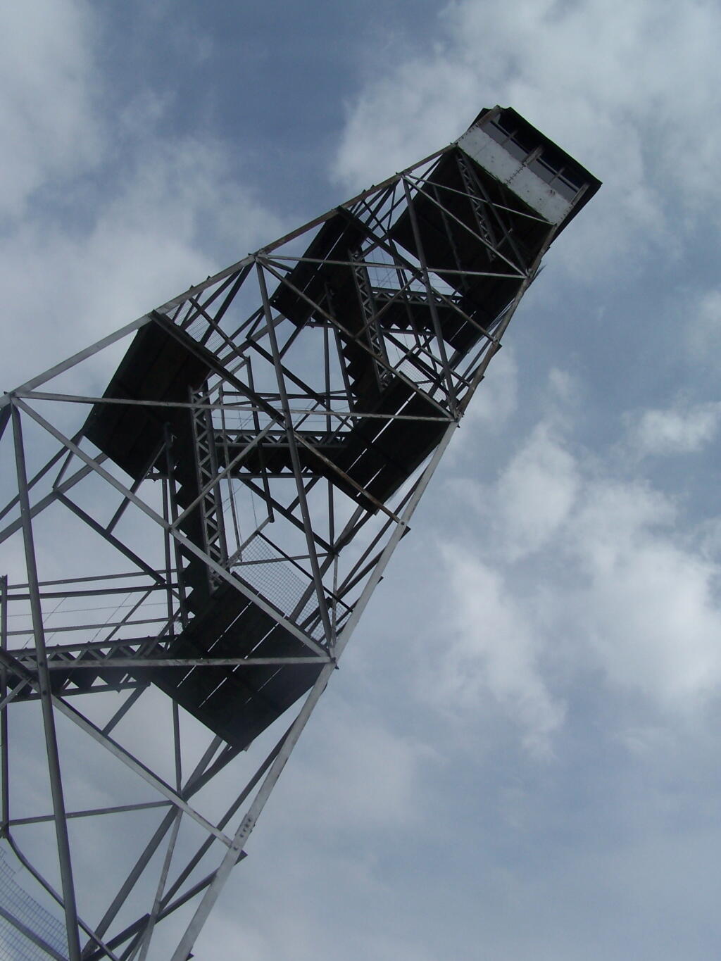
Firetower

Six Nations Horse Camp


View Hikes of 2009 in a larger map

July 11, 2009:
Red Hill Fire Tower

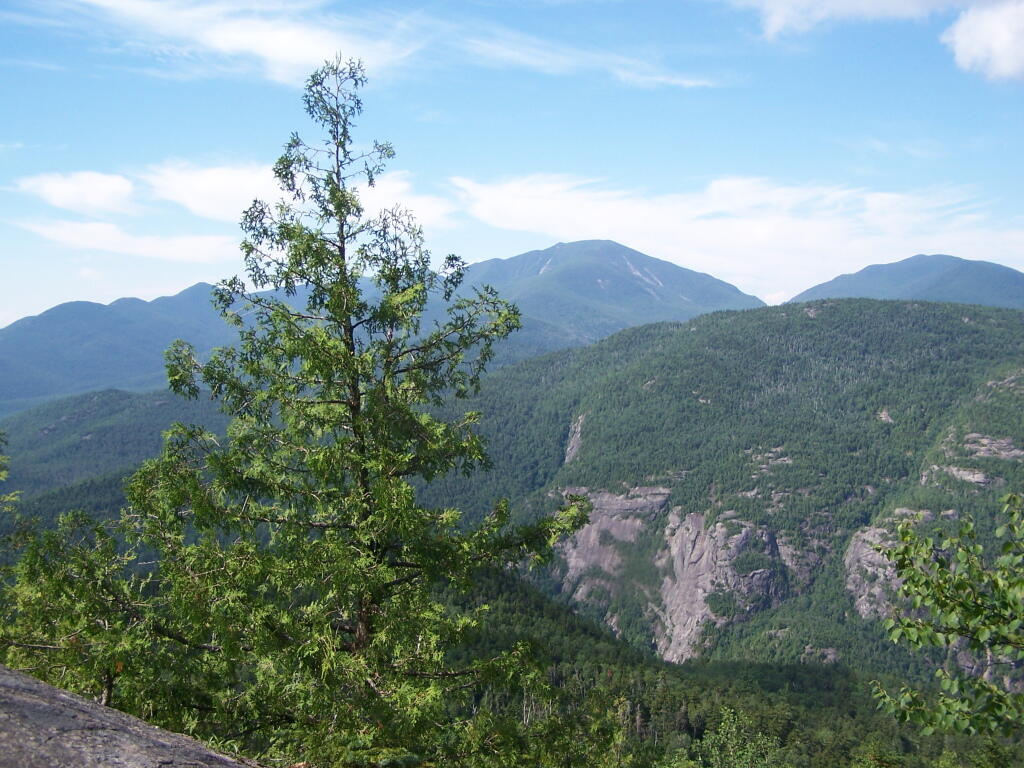
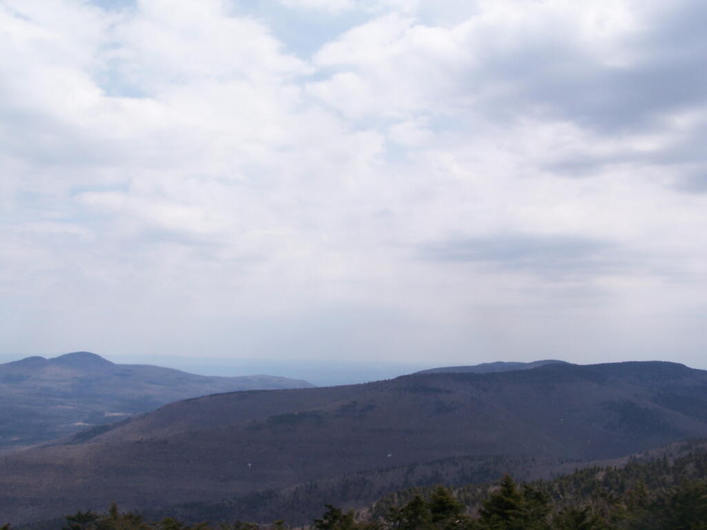
The seventh tower I visited, Red Hill Fire Tower is located south west of the Catskills, barely in the park, with views of the south-western Catskills, the High Peaks, and down towards the Delaware River in Pennsylvania.

Information and Pictures from my hike up Red Hill.
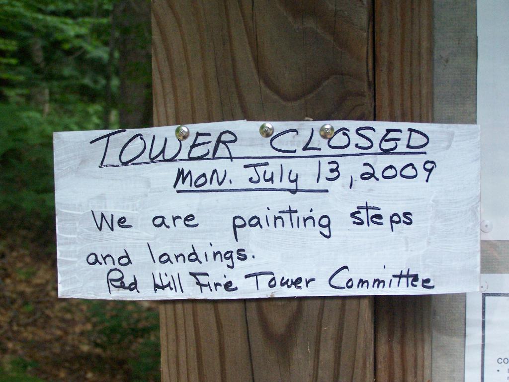
Tower Closed

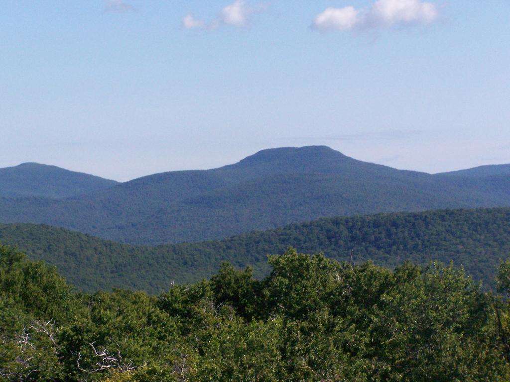
Doubletop Mountain


View Hikes of 2009 in a larger map

August 8, 2009:
Balsam Lake Fire Tower

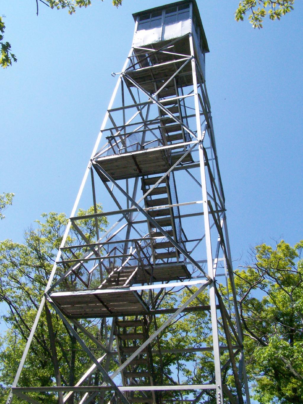
The Eightieth Tower I visited, was Balsam Lake Fire Tower is located in about 10 miles south east of Margretville in a very rural portion of the Catskill Mountains. It is the only tower in the Catskills actively staffed by DEC Fire Rangers on weekend (mostly acting as guides).

Information and Pictures from my hike up Balsam Lake Mountain.
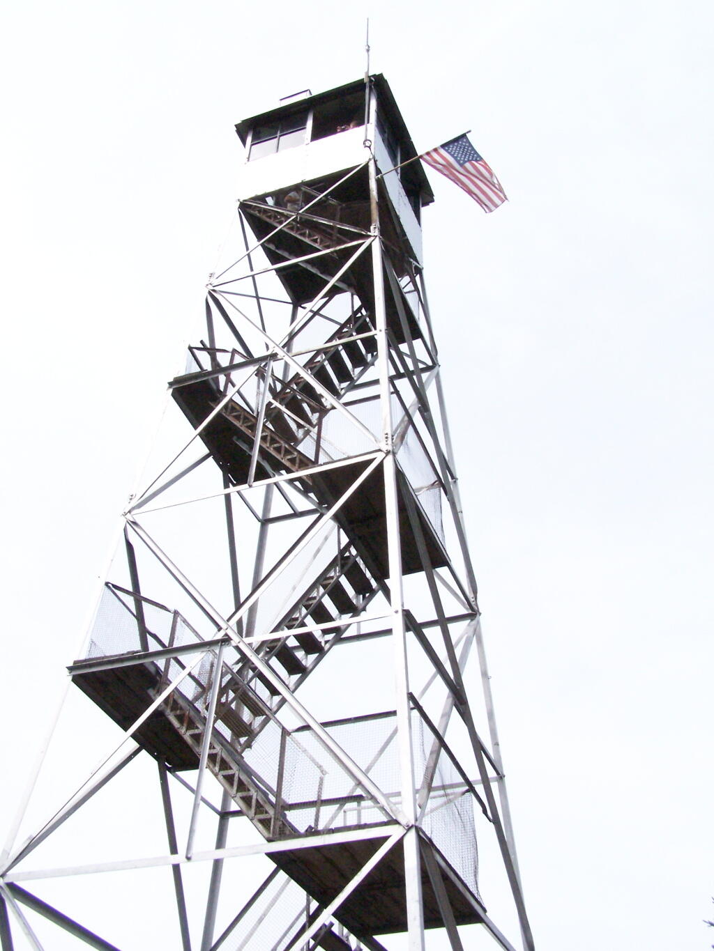
Balsam Lake Firetower

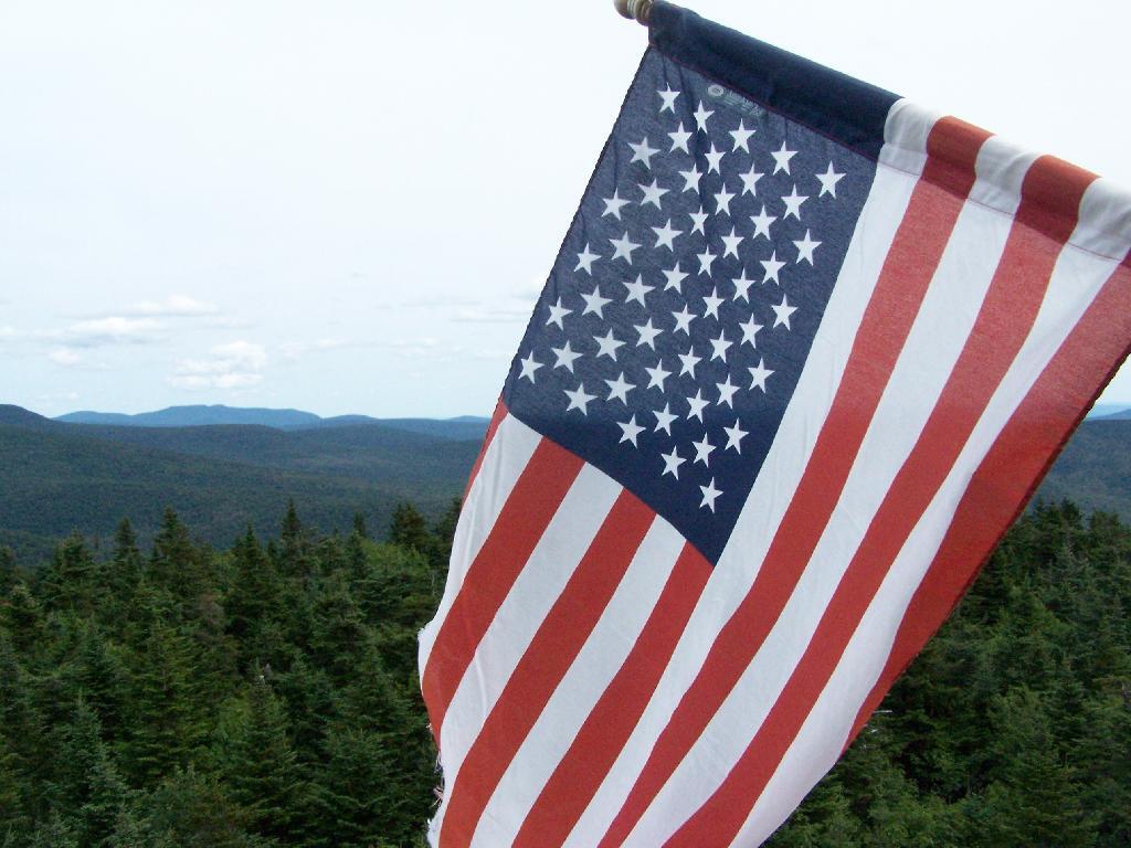
Flag on Tower


View Hikes of 2009 in a larger map

August 7, 2009 & October 10, 2009:
Leonard Hill Fire Tower

The Nineth Tower, Leonard Hill Fire Tower is currently inaccessible, pending renovation. They have removed the bottom to flight of stairs to discourage people from climbing the tower. That said, the DEC Forest Ranger has cleared out a camp site/viewing area directly to the west of the Tower for those who want to enjoy the amazing view due west of the Western Catskills and Upper Schoharie Valley.

Information and Pictures from my trips to Leonard Hill.
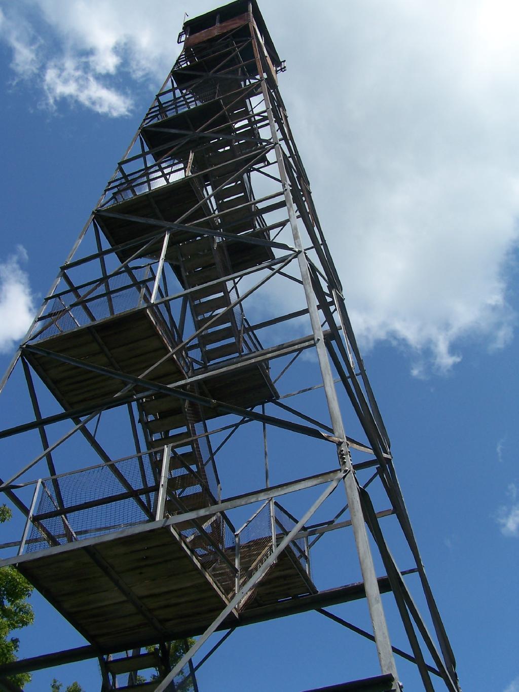
The Tower

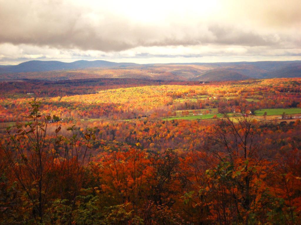
Clouds Over a Fall Landscape


View Hikes of 2009 in a larger map

October 11, 2009 & October 12, 2009:
Mount Utsayantha Fire Tower

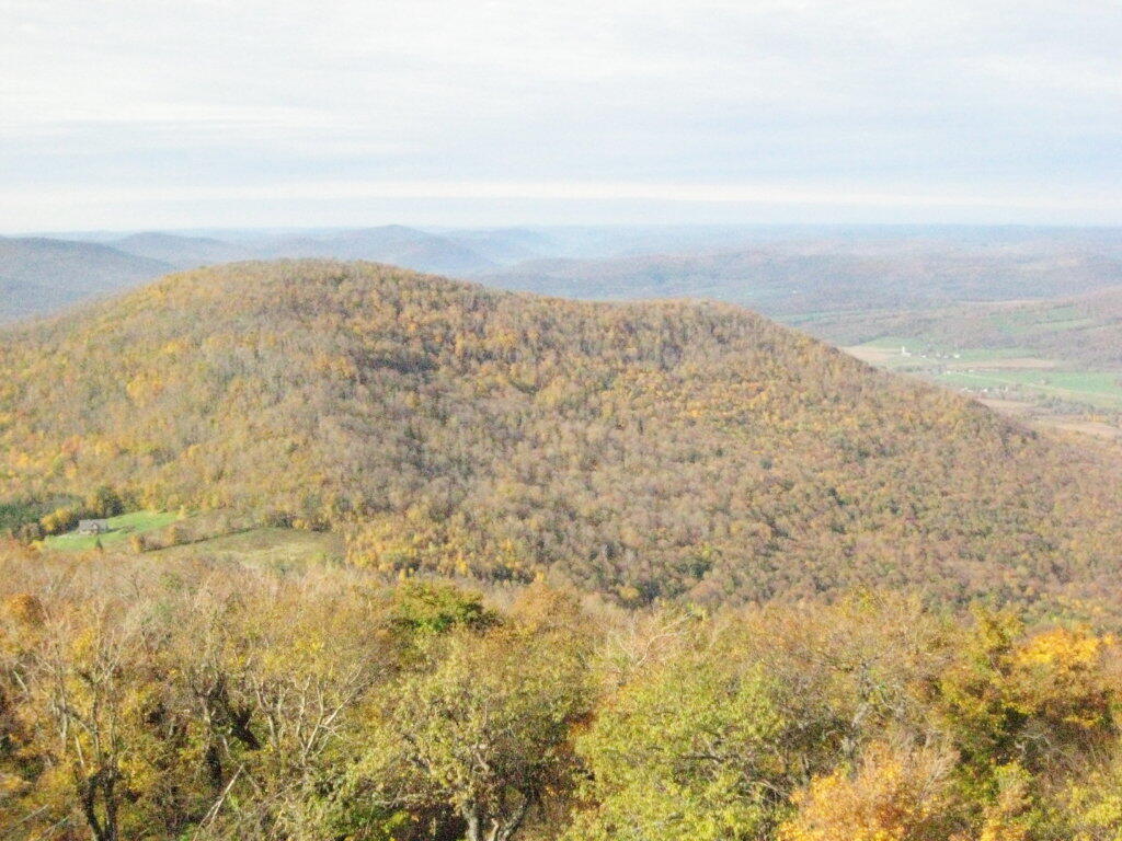
Mout Utsayantha was the Tenth Tower I visited. This fire tower is on a public village park, above Stamford, NY. You can drive right up to it — I visted it twice one weekend. It gives you amazing views of the western Catskills, the area around Summit and Emmenece State Forest, the Upper Schoharie Valley, and on clear days out towards Oneonta.

Information and Pictures from my trips to Mount Utsayantha.
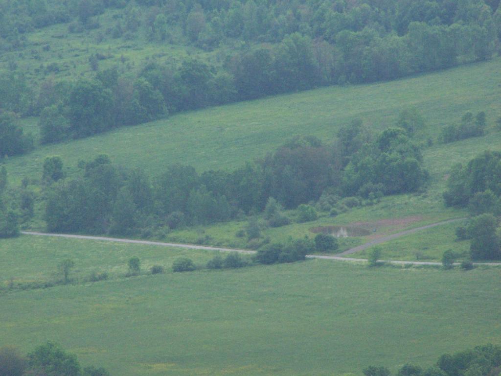
Tower Mountain Road

Colorful Hill


View Hikes of 2009 in a larger map

November 8, 2009:
Stissing Fire Tower

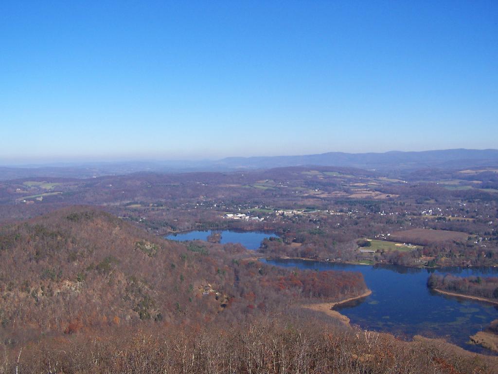
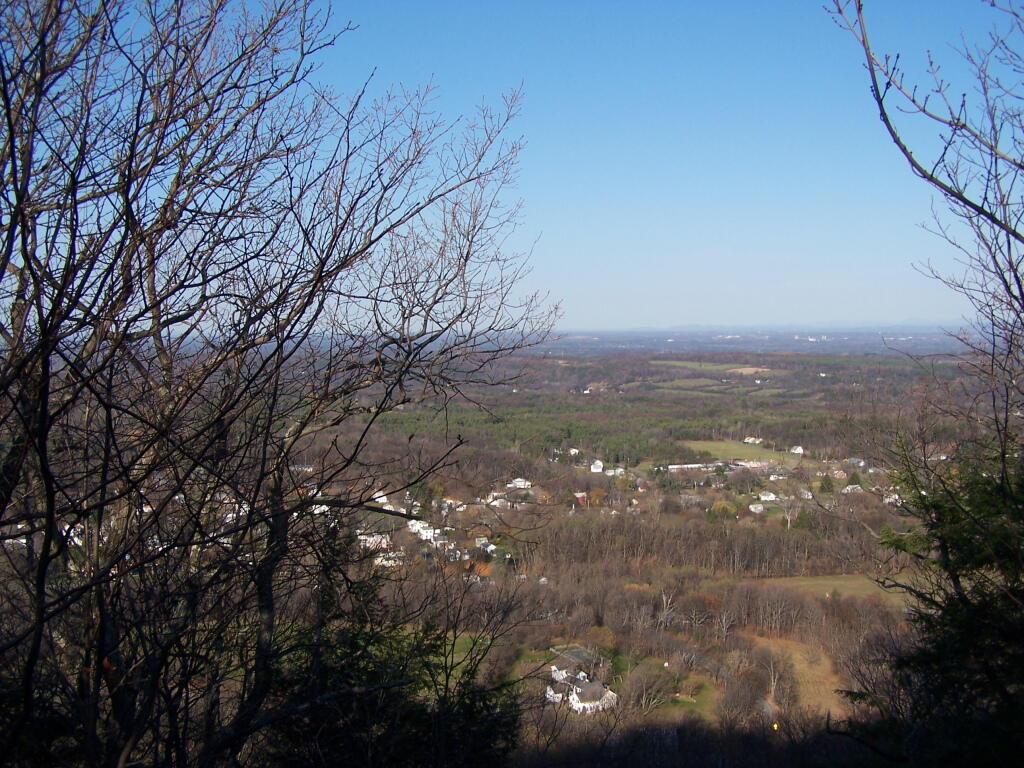
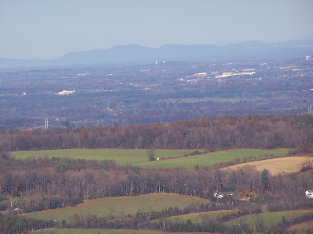
The Eleventh Tower: Rising 1,000 feet above the low lands of Pine Plains, this firetower gives you beautiful views of small towns, lakes, farmlands, mountains, and a five state region of the Hudson Valley on clear day.

Information and Pictures from my hike up Stissing Mountain.
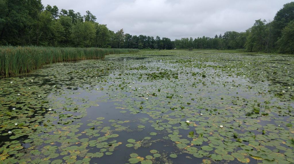
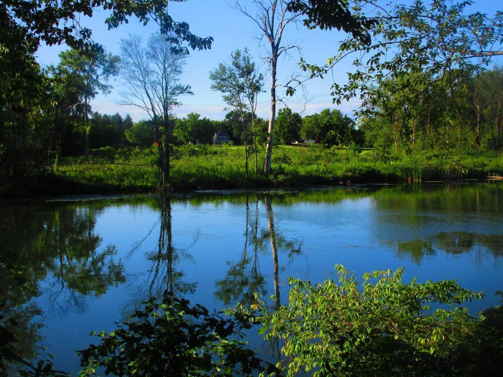
Wetlands

Towards Vermont


View Hikes of 2009 in a larger map

April – June:
The First Five Towers.

If you like this, then make sure to see the next five on Eleven Fire Towers I’ve Visited This Year, Part 1.

Terrain Map: Mahanoy Mountain
Map: Tenant Creek Falls Trail

11 Fire Towers I Visted In 2009, Part 1

This past year I have spent a great deal of time hiking up mountains and visiting fire towers. Here are pictures of the first five fire towers I visited this year, along with a short description and maps.

Make sure to all check out Eleven Fire Towers I’ve Visited This Year, Part 2 which will be featured on Tuesday, November 17, 2009.

April 5, 2009:
Overlook Mountain Fire Tower

The first fire tower I climbed this year was Overlook Mountain Fire Tower outside of Woodstock. This tower is nearby the remains of the Overlook Mountain House and has some rather awesome views.

Information and Pictures from my visit to Overlook Mountain.

Untitled


View Hikes of 2009 in a larger map

April 10, 2009:
Hunter Mountain Fire Tower

The second fire tower I climbed this year was Hunter Mountain Fire Tower outside of Hunter. This is the second highest mountain in the Catskills at 4040 feet. The views are less exciting compared to other mountains I’ve been up. I took the much steeper Beecker Hollow Trail, but one can take the longer horse trail in from the west side, if you don’t mind stepping in horse manure.

Information and Pictures from my visit to Hunter Mountain.

Hunter Firetower

Plateau Mountain


View Hikes of 2009 in a larger map

April 17, 2009:
Hadley Mountain Fire Tower

The third fire tower I climbed was Hadley Mountain Fire Tower in the Adirondacks near Hadley and NY 9N. This has some amazing views of the Great Sacanadaga Lake along with the Southern Adirondacks.

Information and Pictures from my visit to Hadley Mountain.


View Hikes of 2009 in a larger map

April 19, 2009 & August 2, 2009:
Beebe Hill Fire Tower

The fourth firetower I climbed this was Beebe Hill in the Taconics near Exit B3 of the NYS Thruway Berkshire Spur. It has great views of Northern Columbia County’s rolling country. There also is the Chance of Thunder Lean-to nearby the fire tower, so you can climb it up at night like I did one beautiful Saturday in August.

Information and Pictures from my visit to Beebe Hill.


View Hikes of 2009 in a larger map

June 6, 2009:
Mount Tremper Fire Tower

The fifth fire tower I climbed this was Mount Tremper in the Catskills. Despite having almost no views until you climb the tower, it does have some interesting views of the interior Catskill Mountains. It was a somewhat hot and hazy day when I climbed the mountain.

Information and Pictures from my visit to Mount Tremper.

Mount Tremper Firetower

Devil's Clove


View Hikes of 2009 in a larger map

June – November:
The Next Five Towers.

If you like this, then make sure to see the next six on Eleven Fire Towers I’ve Visited This Year, Part 2.

Map: Mad Tom Brook Trail
Map: Buck Hill State Forest

Thatcher Park in November

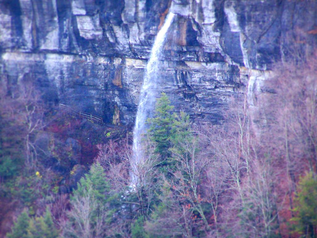
For my Sunday afternoon walk this afternoon I went up to Thatcher Park. It was 60 degrees out, and quite nice weather for late November. The previous day it had rained quite hard and water was coming out quite intensively from the Horseshoe Falls.

Mine Lot Falls

Walking along the fence line above the Escarpment on Horseshoe Clove.

Fenceline

Looking south and at rather gray landscape off Thatcher Park.

Hillside

Farms outside of Altamont in the fall without the leaves.

 New Asphalt

A stream of water coming north out of an upper clove.

Stream of Water

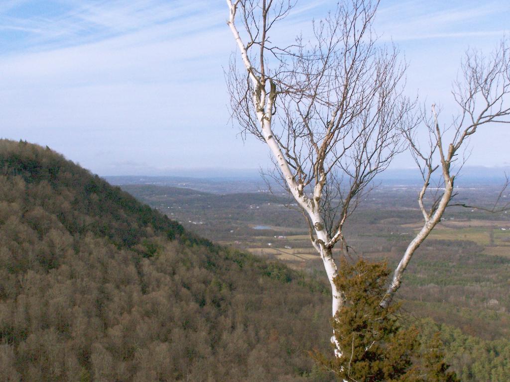
Birch along the edge of the path.

Birch

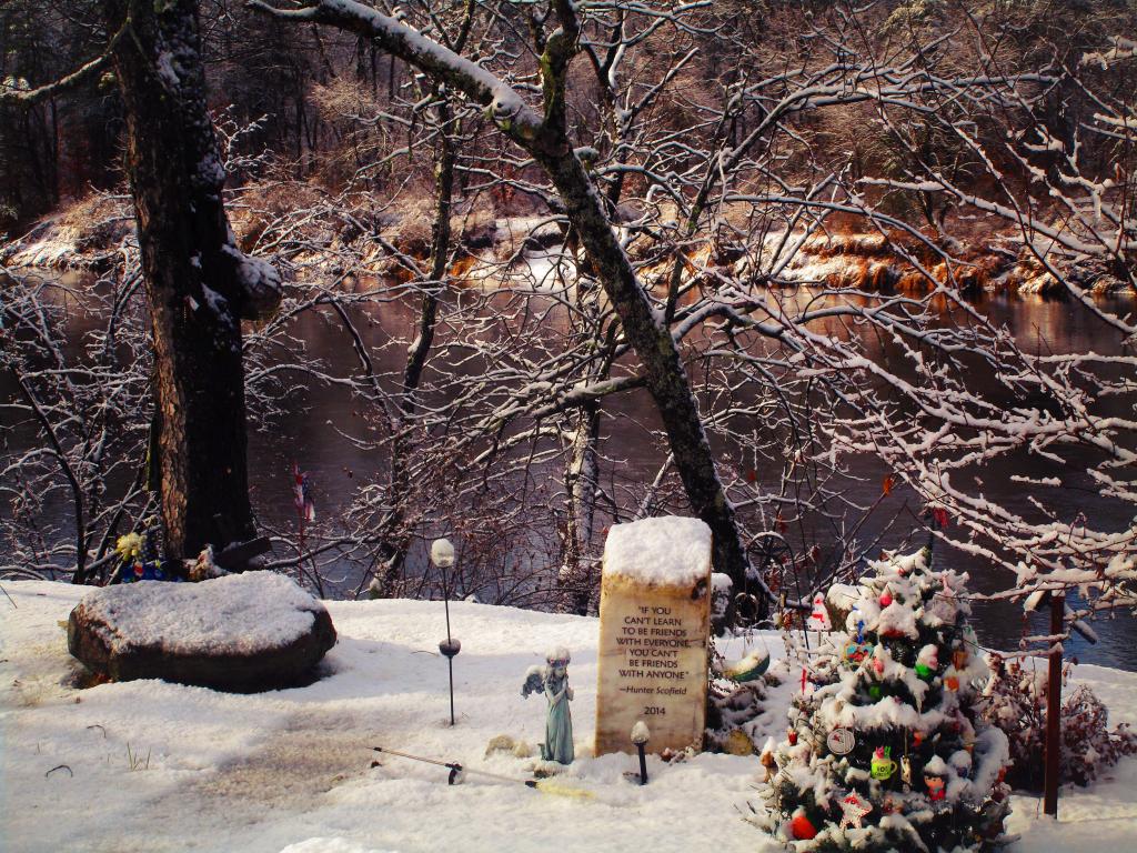
Hunter Scofield Monument

Bennett Hill in November 2009

I went for a walk at Bennett Hill on a warm afternoon in Novmeber. Here, walking along the pastures that run along the border of Bennett Hill.

Population of Albany County

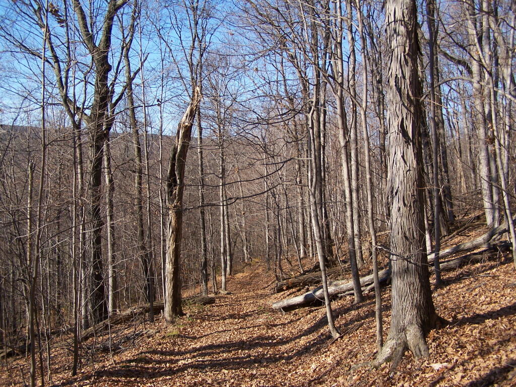
Walking along the trail.

Trail

Here is the new “Bathtub Spring” we installed as part of a local scout’s Eagle Project. This allows people to refill their water bottles or give their thirsty dog some water. I drank some, it didn’t really kill me yet. Tastes a little bit muddy/gritty.

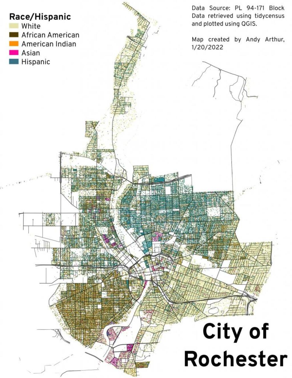
City of Rochester - Race and Hispanic

Meadow Brook Farm from the top of the hill, looking through the trees.

Meadowbrook Farm Through Trees

On the top of the hill there is a new clearing you can look out of above Clarksville.

New Clearing On Bennett Hill

Looking up towards the Adirondacks / Lake George area in the background, with the NYSDOT headquarters and Colonie Center closer in the foreground.

Adirondacks

Descending the Red Trail on the Eastern side of the hill, looking out towards of Albany.

Barge Canal along the Cycleway

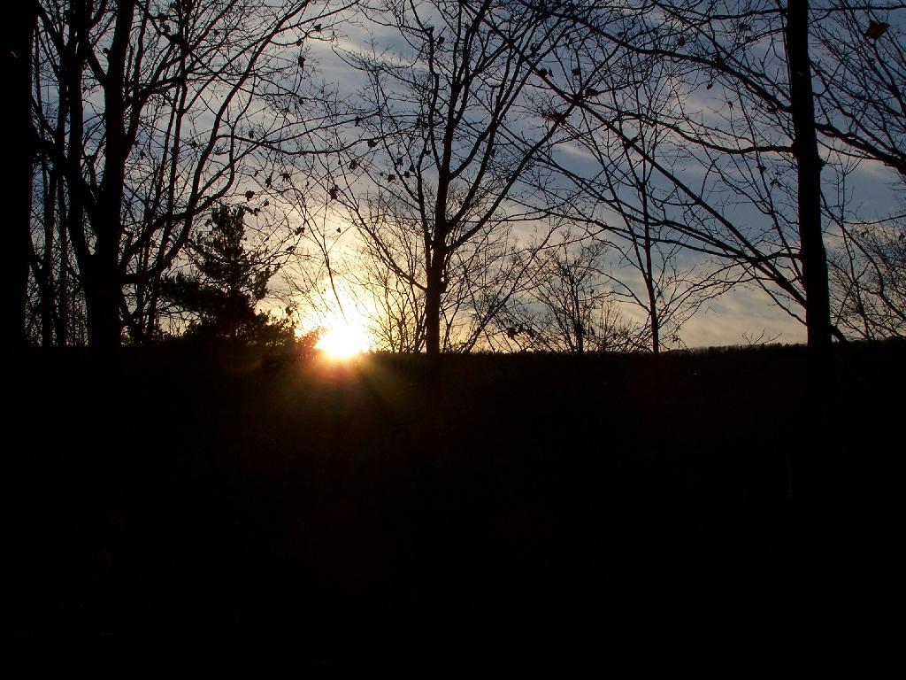
And as I headed back to the truck, the sun was setting over Cass Hill.

Setting Sunset

Here is a map.


View Hikes of 2009 in a larger map

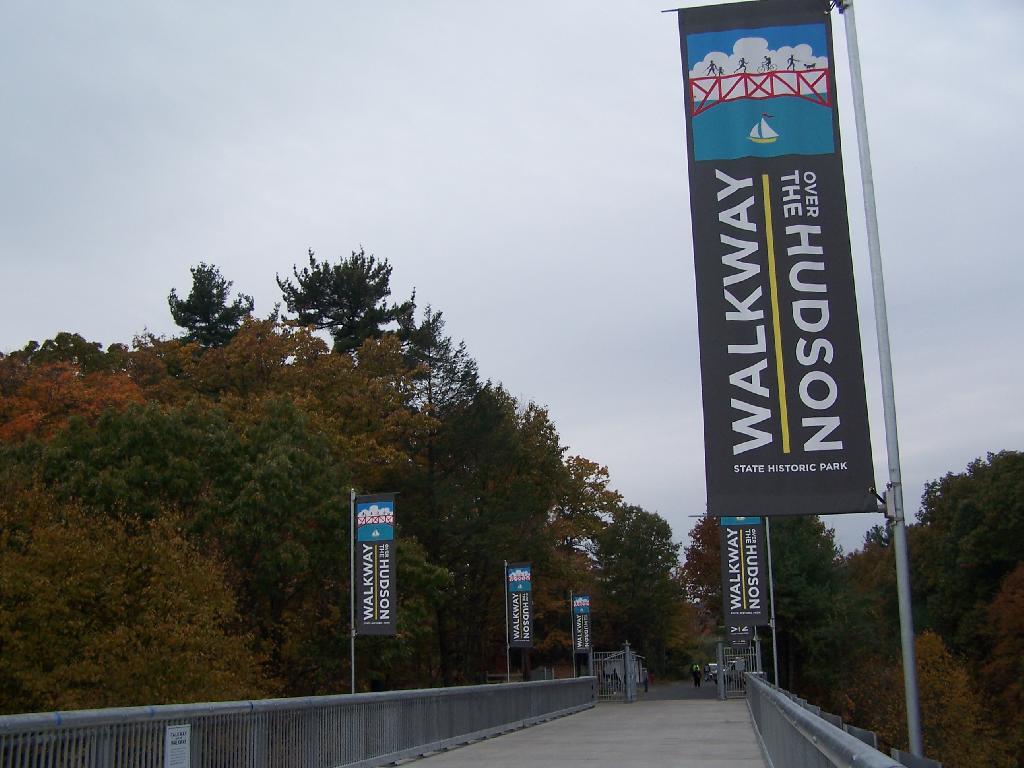
Walkway Over the Hudson

On a rather cloudy day that I had taken off from work last week, I decided to drive down to the Walkway Over the Hudson. I got down there around 9:30 PM, on a cloudy Wednesday, and the parking lot only had one parking spot left on the Pougkeepsie side. It is accessible from the Poughkeepsie side via taking US Route 9 North from Pougkeepsie then turning onto NY Route 9G south. Alternatively, you can access it from Haviland Road in Highland.

Flags

The newly extended bike trail leads directly to the Walkway from the rather large Poughkeepsie parking lot. If you can’t find space in the lot, there is plenty of space on nearby city streets.

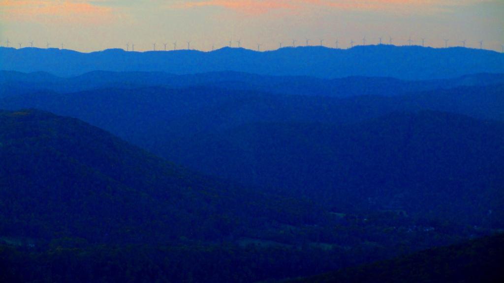
Wind on Backbone Mountain

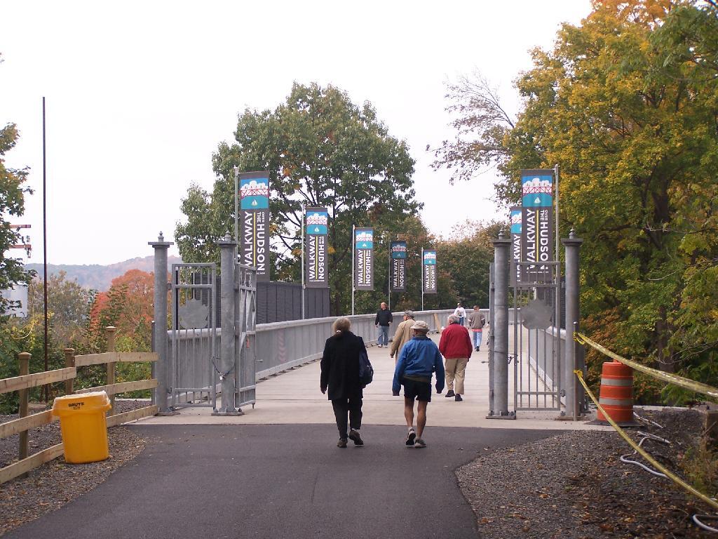
Big crowds of people entering the Walkway.

Entering  the Walkway

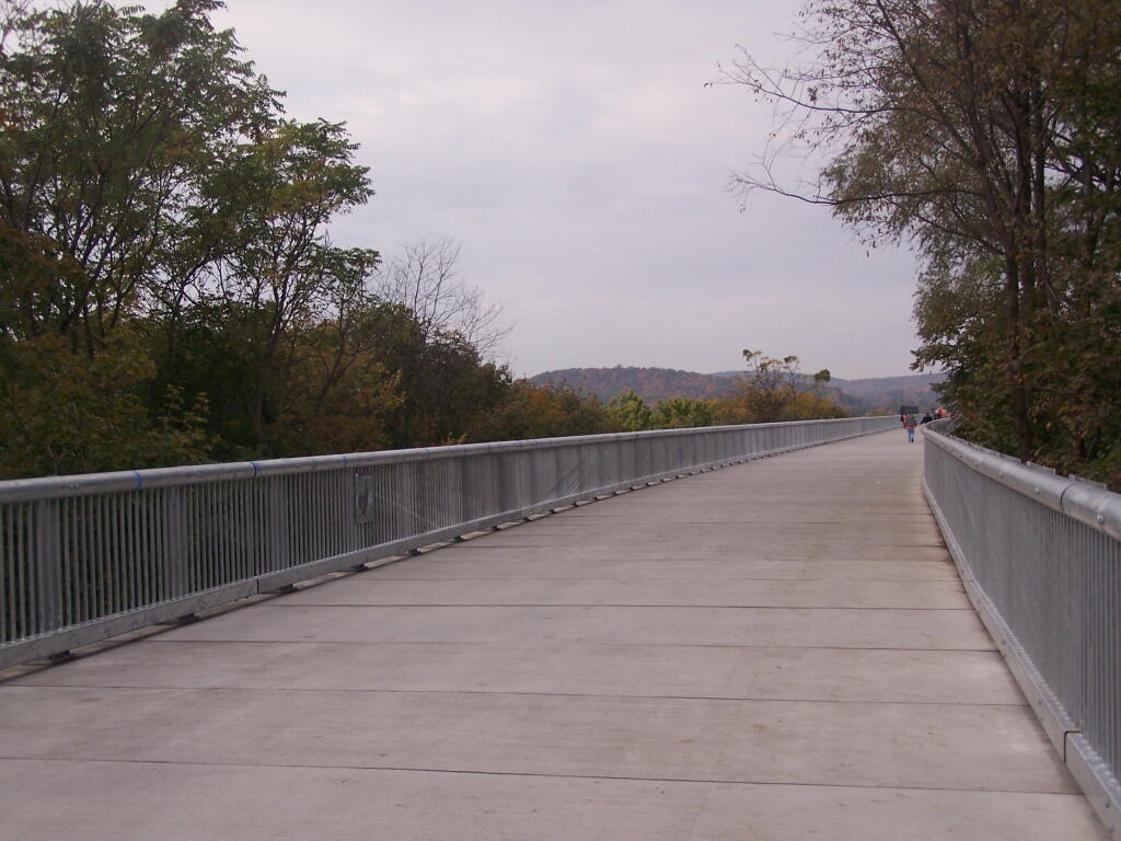
At 28-feet wide and nearly two miles long, it’s pretty big and wide. Despite probably several hundred folks on the bridge, it doesn’t feel at claustrophobic or tight.

A Big Bridge

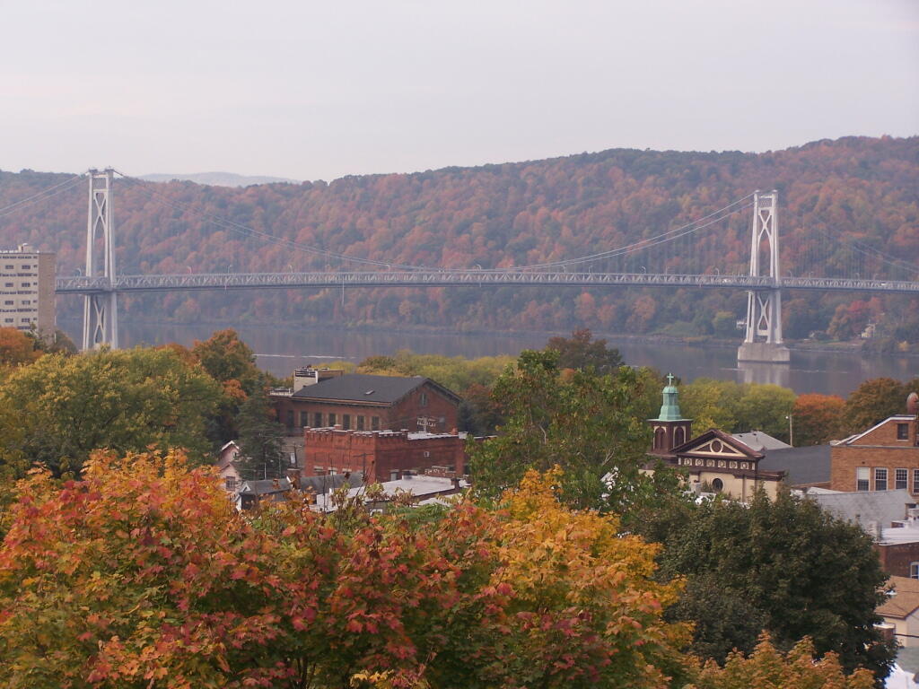
Looking across Poughkeepsie at the Mid-Hudson Vehicle/Pedestrian bridge.

Across the City to Mid Hudson Bridge

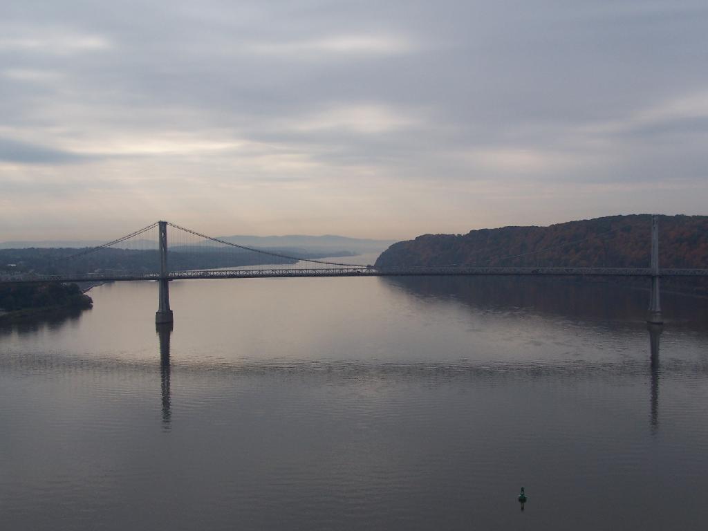
From the center of the bridge looking directly south.

Mid Hudson Bridge

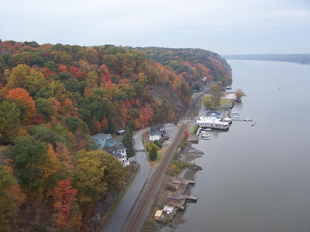
North along the Highland side of the Hudson River.

North Along River

All and all it is a beautiful walk across the bridge. If you plan on taking some pictures, and want to walk from one side of the bridge to another, you should figure about two hours of time. More at walkway.org.