hiking

Harmon Hill
Harmon Hill is a short but steep hike outside of Bennington, VT. You go up some 1,200 feet in a little over 1.7 miles from the parking area deep in the Dunville Hollow just west of Bennington for modest views up north and west of Bennington.
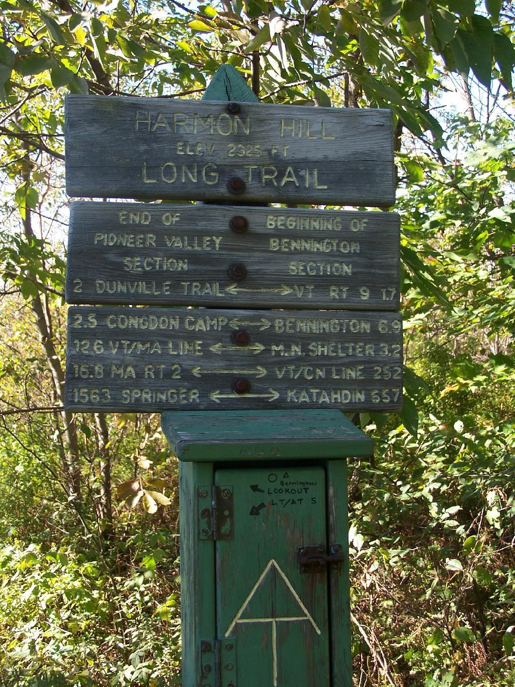
The trail up it is part of the Long Trail, which is duplexed with the Applachian Trail in Vermont. Here is the sign near the parking area.
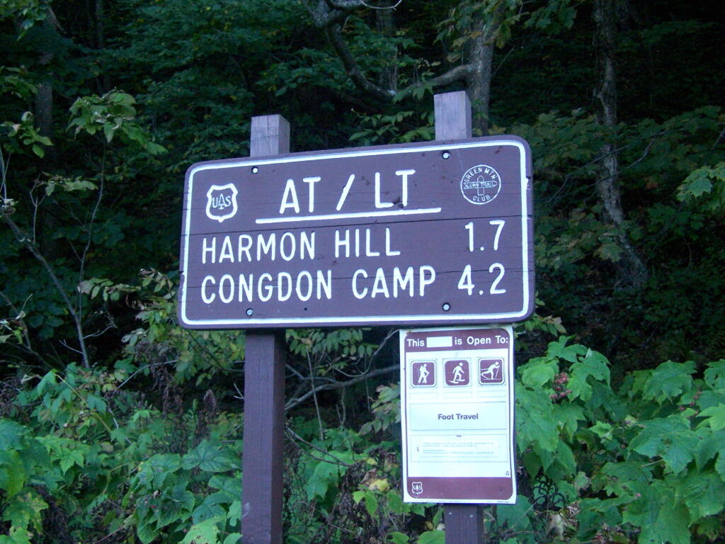
It is a steep 1 mile as you make most of the 1,200 ascent. There are not much views as you climb out of the Dunville Hollow, just a lot of rock-steps and steep switch backs as one climbs up the mountain.
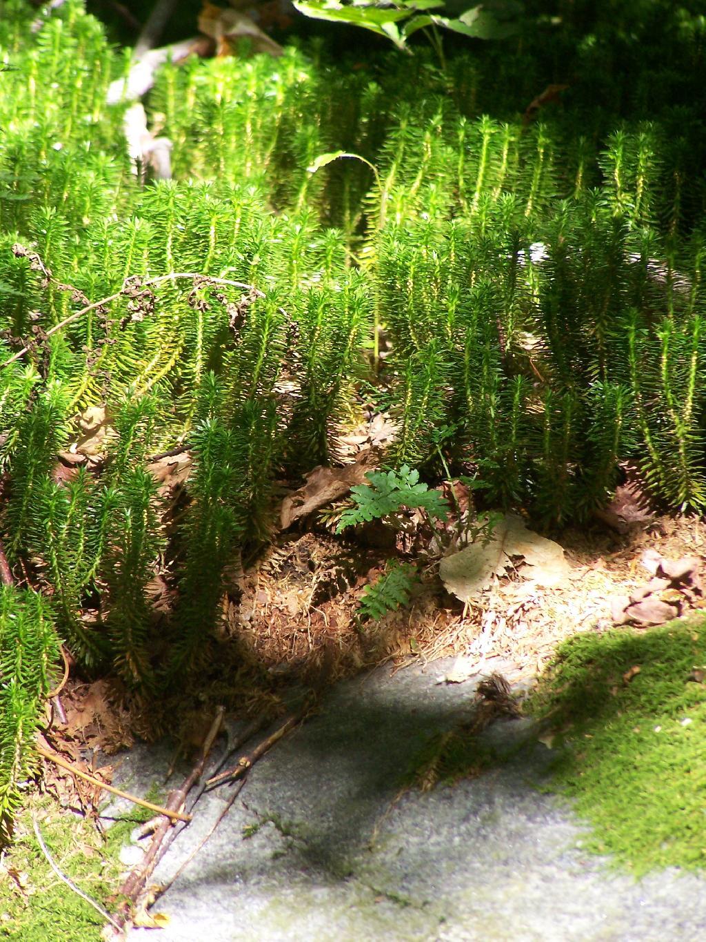
Likens along the trail.
A destination sign tells you that you’ve reached the Pioneer Valley section of the Long Trail and are starting the Bennington section.
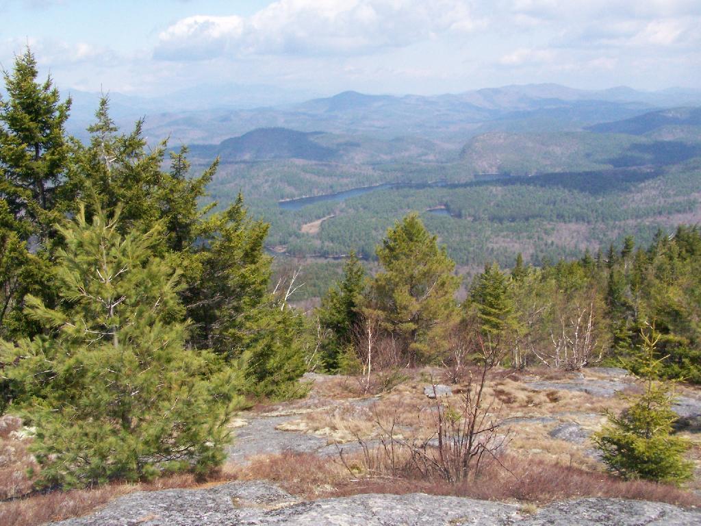
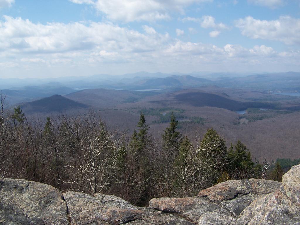
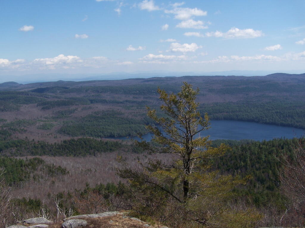
When you come to the top you have an interesting view of Mount Anthony, Bennington, and in the far distance the Champlain Valley and the Adirondacks.
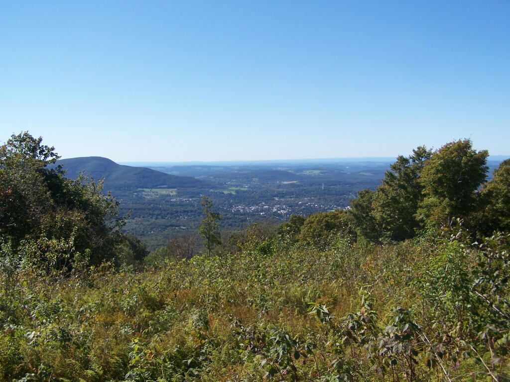
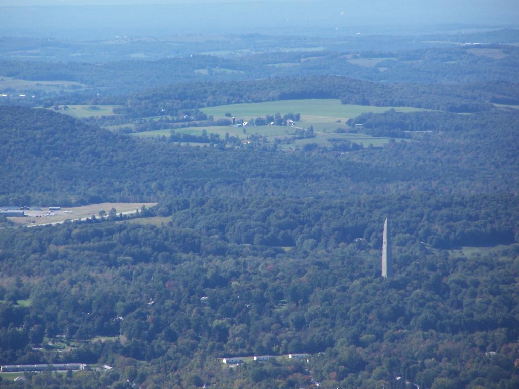
You can see the Bennington Monument and the surround farms near Bennington from the mountain.
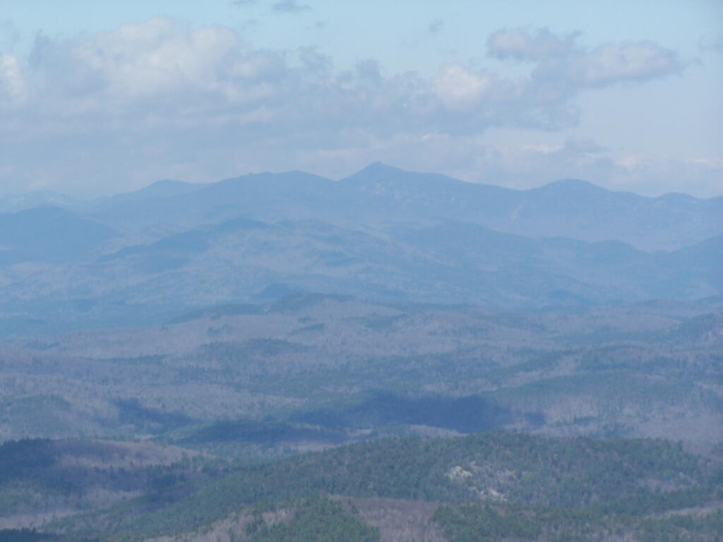
Towards the North, you can see some of the Adirondacks towering over the much lower range of the Green Mountains, including Grass Mountain.
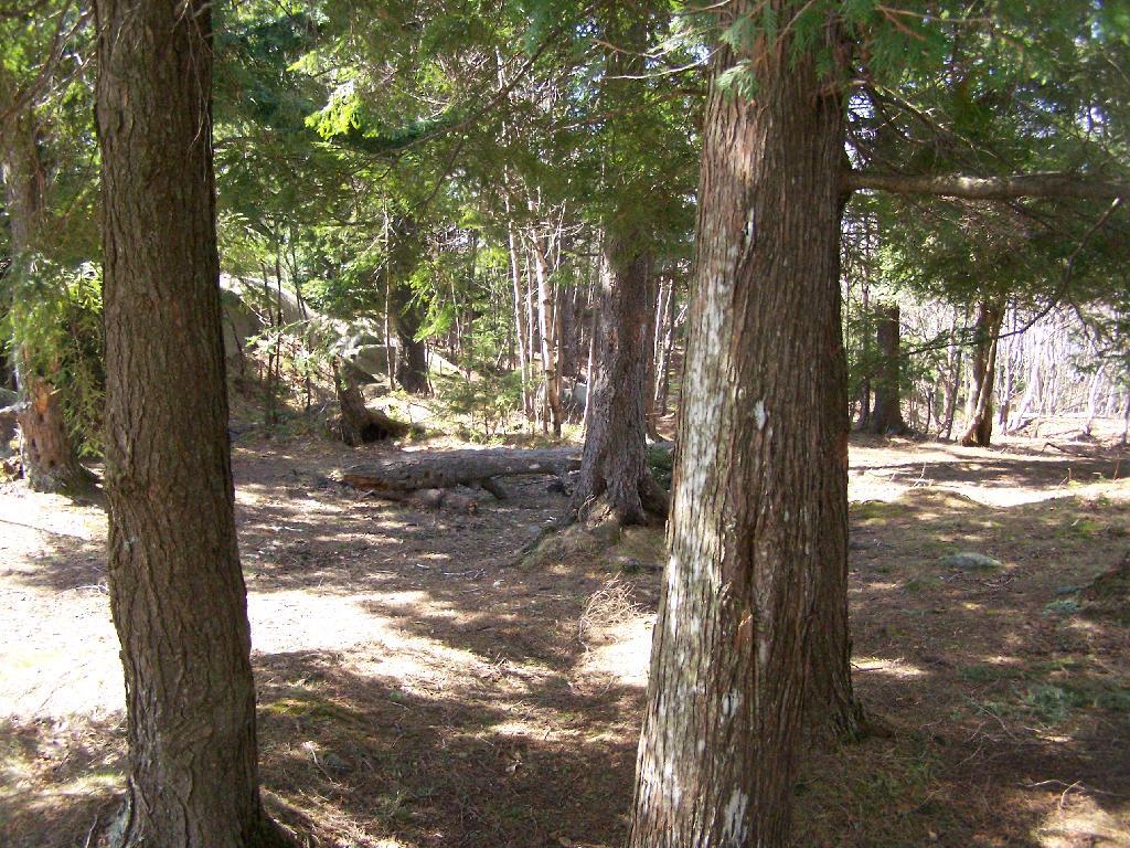
This is the second peak of Harmon Hill, which is view less. I hiked to Harmon Hill and the viewless points further south on the Long Trail.
Here is a map of the hike.
Deer River State Forest Campsites
![Untitled [Expires November 15 2024]](https://andyarthur.org//data/photo_017517_large.jpg)
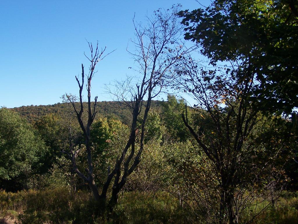
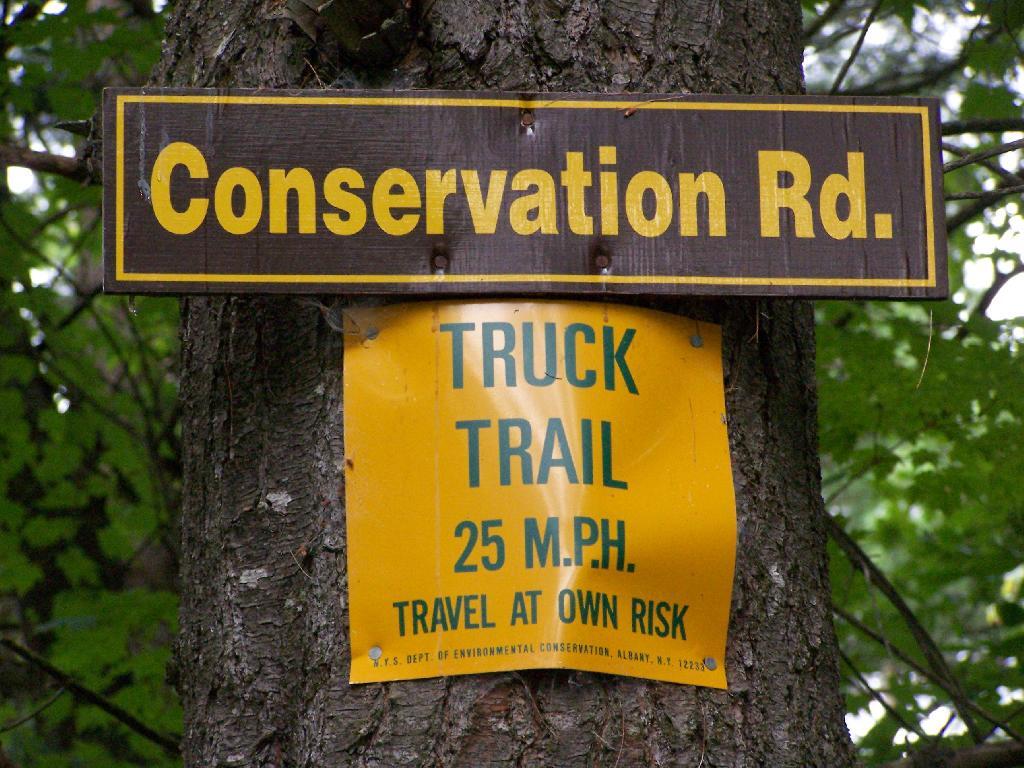
In south-western Franklin County there is a state forest with approximently 12,00 acres of land, and almost 12 miles of truck trail. Most of it is wooded and moderately hilly, with acres of swamps and rivers, with substainal access via truck trail.
There are three campsites along Conservation Road, with one at Iron Bridge on the Deer River. This is a popular site, one with limited nearby firewood. You probably could drive to another portion of the forest, chop up some wood, and drive back so you have enough for camping.
| Name | Latitude | Longitude |
| Avery Lot Site | 44.7352235914112 | -74.4550802614741 |
| Conservation Road Primitive Campsite | 44.7265204084443 | -74.4838001692901 |
| Foot Bridge Site | 44.731452233788 | -74.5090540850248 |
| Horse Assembly Area (Two Sites) | 44.7507488855137 | -74.5131752114971 |
| Iron Bridge Site | 44.7190820582264 | -74.4799989894277 |
| Larch Site | 44.730415232034 | -74.5048391659423 |
| Number 7 | 44.7335461250466 | -74.5028504711799 |
| Site 10 | 44.7315799764063 | -74.5021705324054 |
| Site 6 | 44.7271320391316 | -74.4853763854447 |
| Site 8 | 44.7297640340073 | -74.4938030505511 |
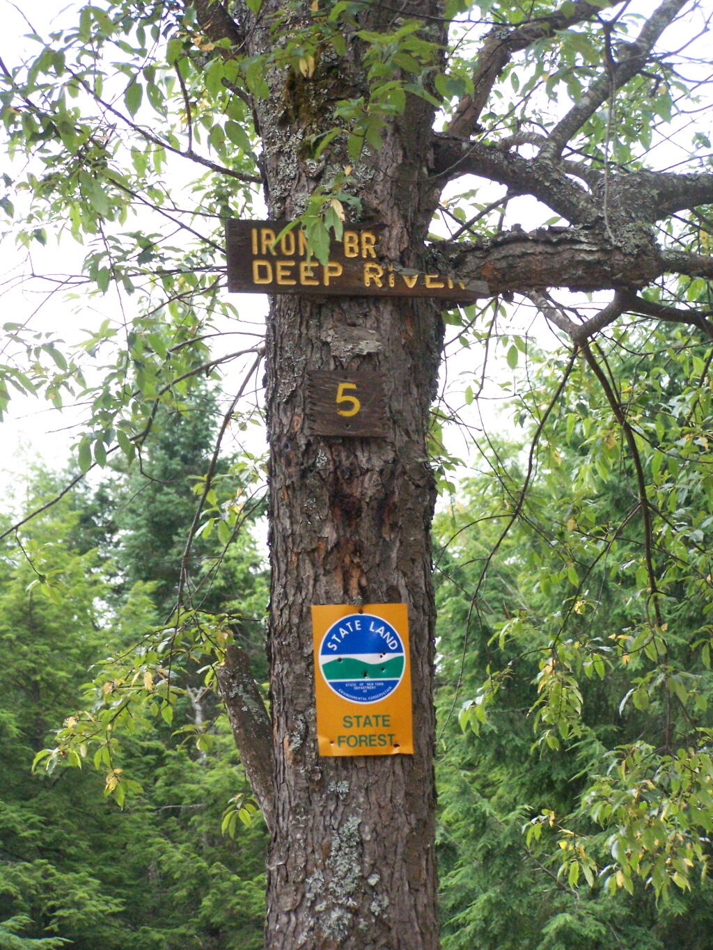
The site is number 5, although I was only able to find sites one and two nearby. The other ones must be on other roads. I didn’t drive all over Deer River State Forest, due to the noise the hubs where making on the truck, worrying me about a potential breakdown/failure with the bad hubs.
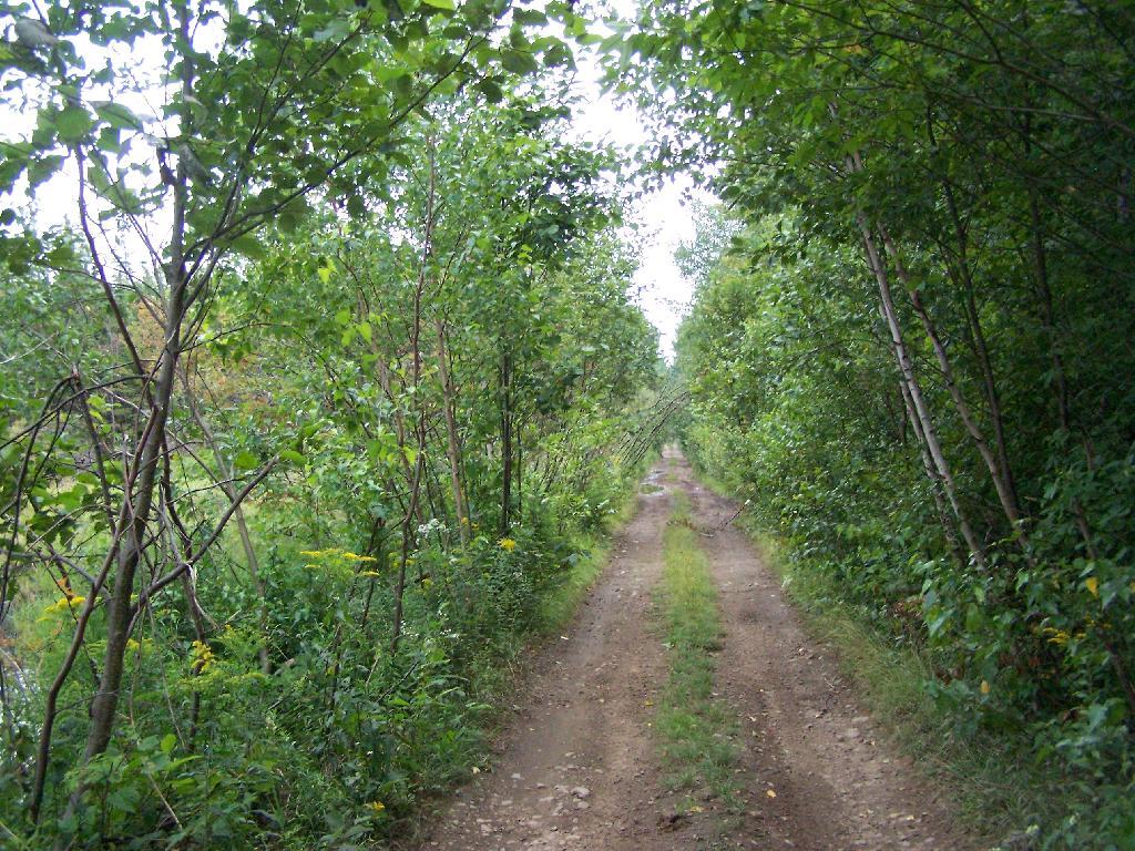
Parts of Conservation Road where relatively rough and potholed, but compared to some of the other roads it wasn’t all that bad.
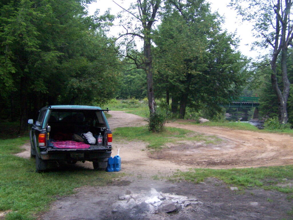
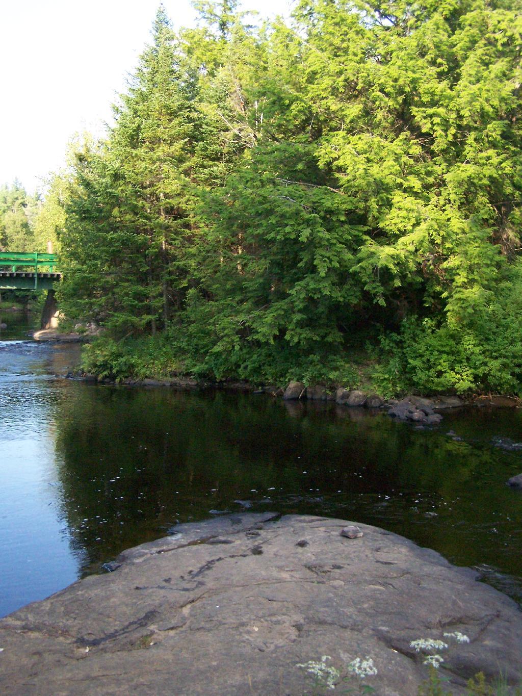
At Iron Bridge, there is a popular swimming hole. I went in both in them evening to cool off and in the morning to bathe.
Here is an an interactive map:


Hiking Back to Pharaoh Mountain from Crane Lake Road
Pharaoh Mountain is located about 10 miles east of Schroon Lake, and can be accessed from the Long Swing / Pharaoh Mountain Trail from the North along with a much steeper and longer trail from Pharaoh Lake from south.
If you choose to take the infamous and rough Crane Pond Truck Trail to it’s end, and then park at Crane Pond, it’s only about a 3 1/2 mile hike up the mountain. If you stop at Alder Pond, and don’t drive through the shallow end of Alder Pond to get to the last mile of Crane Pond Road, then it’s a 4 1/2 mile hike each way.
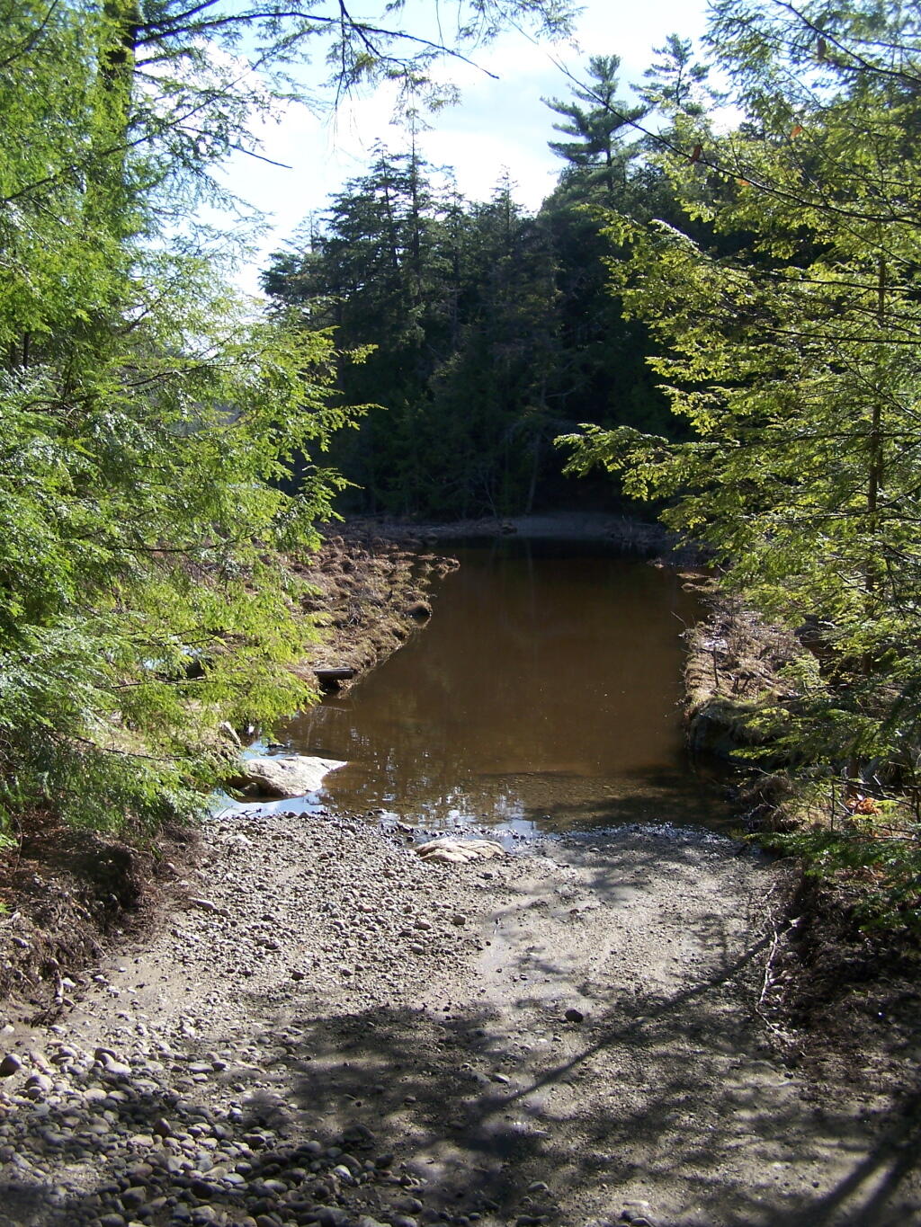
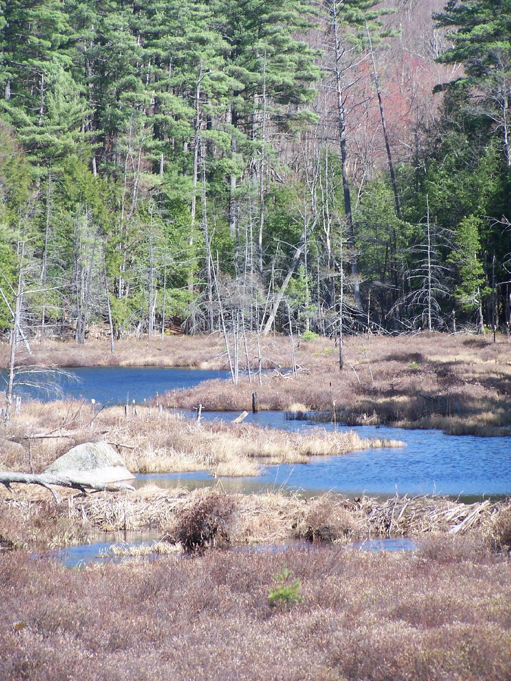
Below is Alder Pond. It was an amazing morning, as the rain let up and started to clear off. The truck trail cuts through the end of the pond, and with the recent rains, it was deeper then I wanted to take my old pickup through.
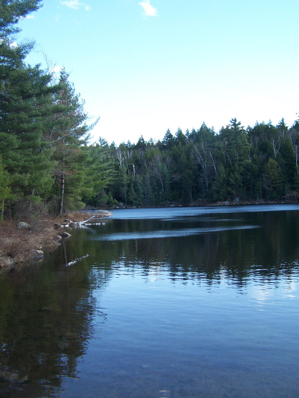
At end of Crane Pond Road is Crane Pond (not surpisingly!) There is a parking area here, and Crane Pond is known for it’s good fishing and beauty.
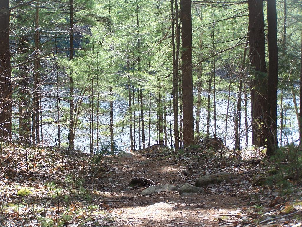
Reaching Glidden Marsh on the Pharaoh Mountain Trail. Pharoah Mountain is in the distance, with the peak sticking up. Most of the trail is relatively flat, until you reach the mountain, and then you start climbing.
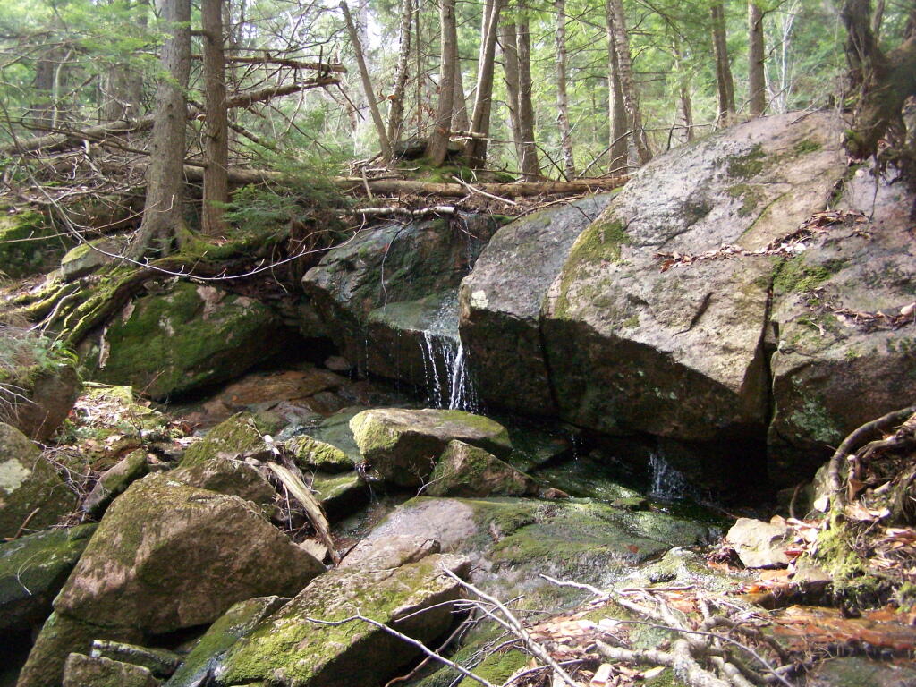
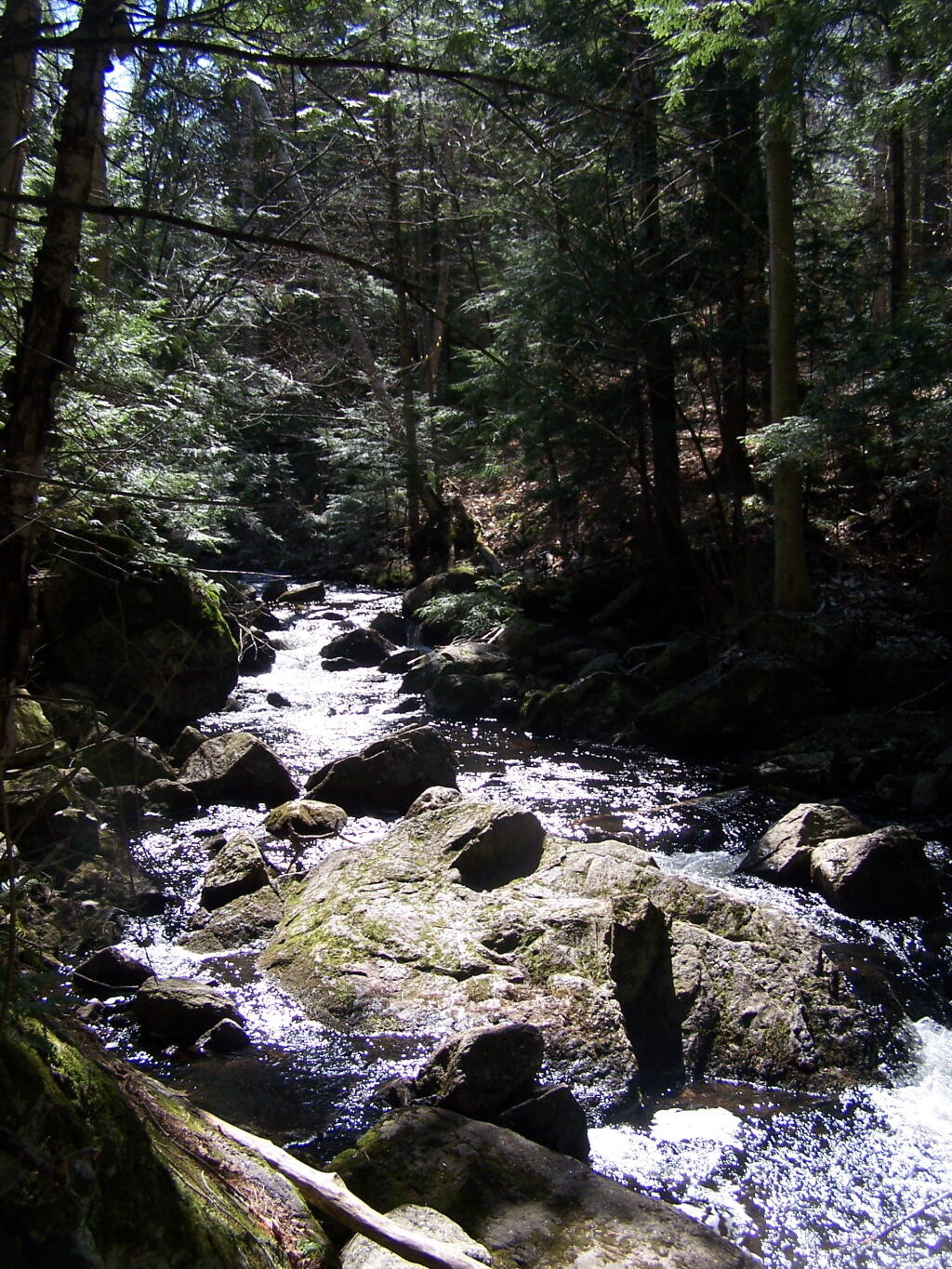
About halfway up there, there is the most charming little water fall.
As you climb, views become progressively better.
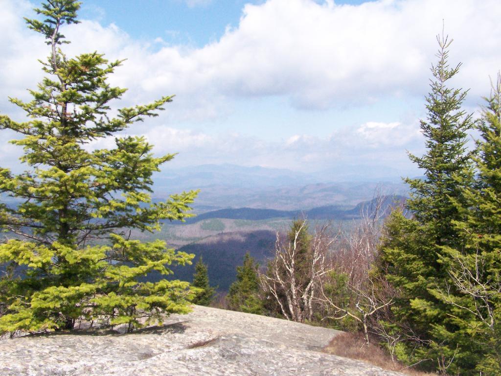
Reaching the summit, there are views in almost all directions, although you have to wonder around the top of the mountain to get all views. Here is looking North-East toward Ticonderoga. You can see Lake Champlain in the distance — barely, along with Crane Pond, Alder Pond, Oxbow Lake, and other features up close.
On the northernly view, you have nice views of the High Peaks Region of the Adirondacks, with Mount Marcy and Alonquin Mountains peaking out top.
To the south-west, there are view of Gore Mountain (ski trails still with snow on it as of April 11).
There also is a primative campsite on top of Pharaoh Mountain.
To the South-East there is Pharaoh Lake, which I did not visit, but the maps show about 5 lean-tos surround it.
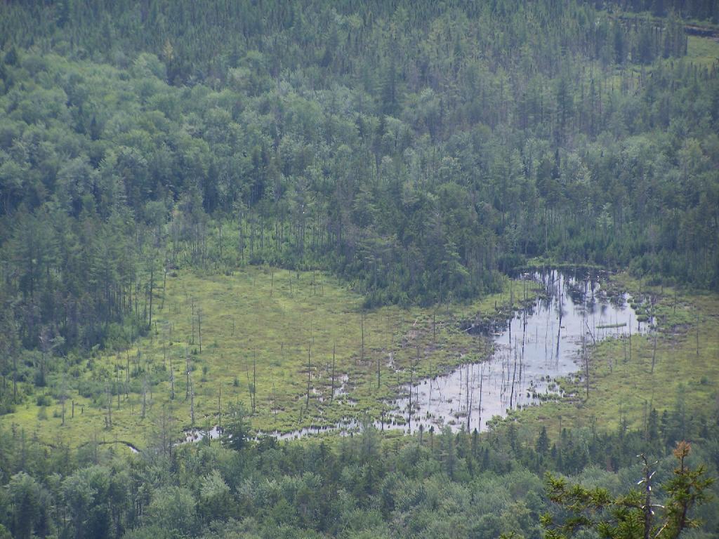
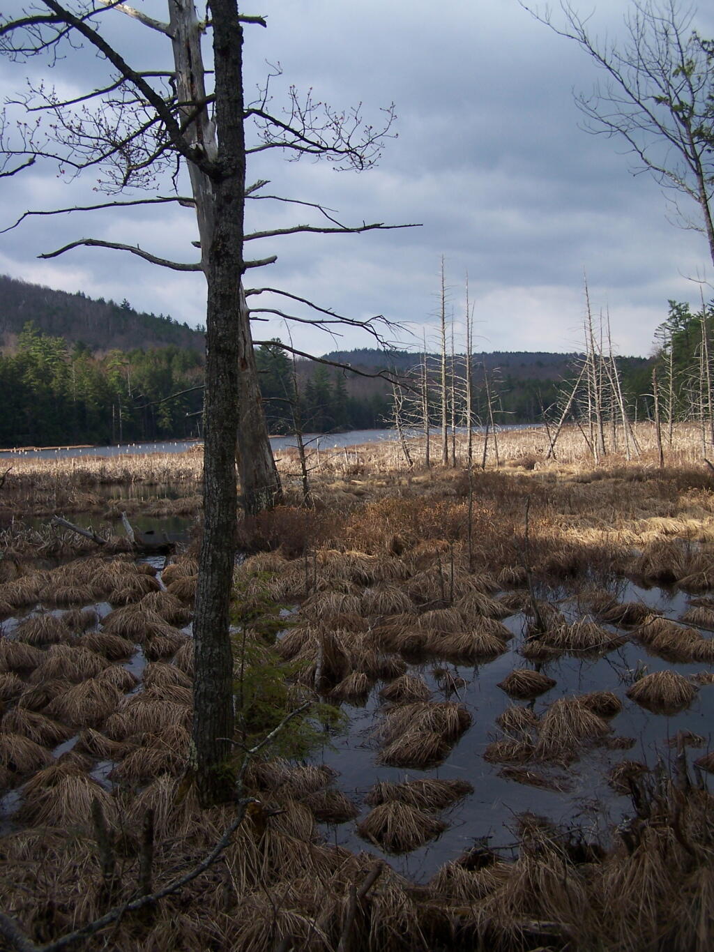
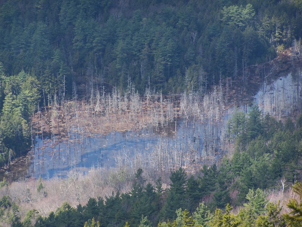
Desolate Swamp is quite purty from the mountain.
After hiking up the mountain, I took a side trip to the beautiful Oxbow Pond, and the other side of Glidden Marsh. Here is the Long-Swing Trail along the edge of Glidden Marsh, near the turn off to Oxbow Lake.
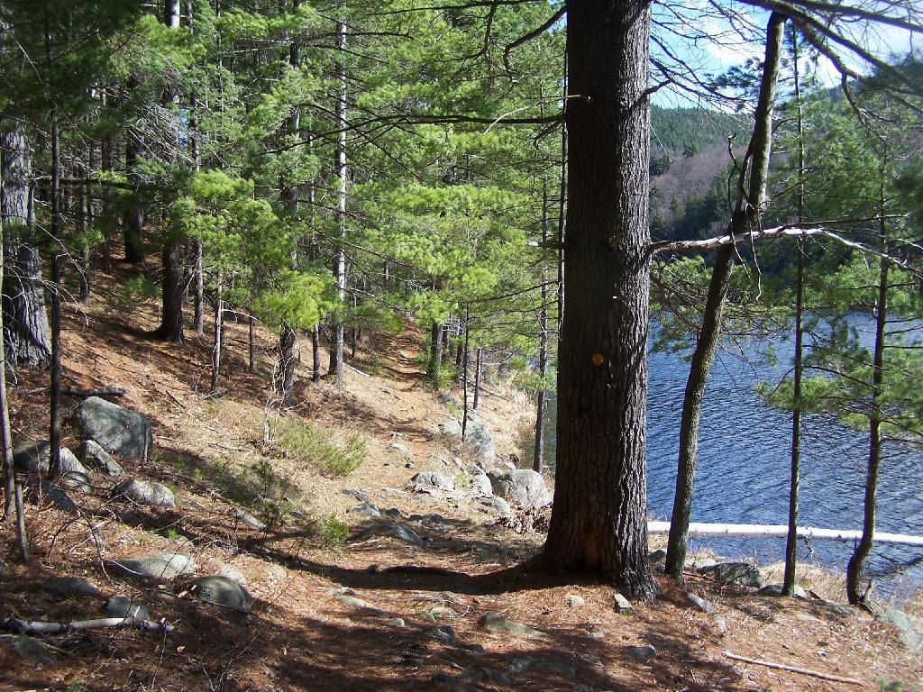
Oxbow Lake is so beautiful, and probably real deep.
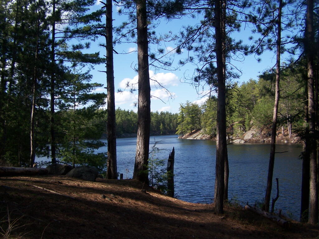
The Oxbow Lean-To. It looks well used, but is in good shape, and has a decent outhouse a little ways from it, a fire pit, along with lots of water for cooking in the nearby pond.

The one end of Oxbow Lake is swampy, as it runs between outfall of Crab Pond down to Oxbow.
Heading back to the truck, the sun flickers on the outlet of Glidden Marsh.
An amazing hike. Definitely want to come back, and possibly spend a night at Oxbow Pond.


Point Au Roche State Park
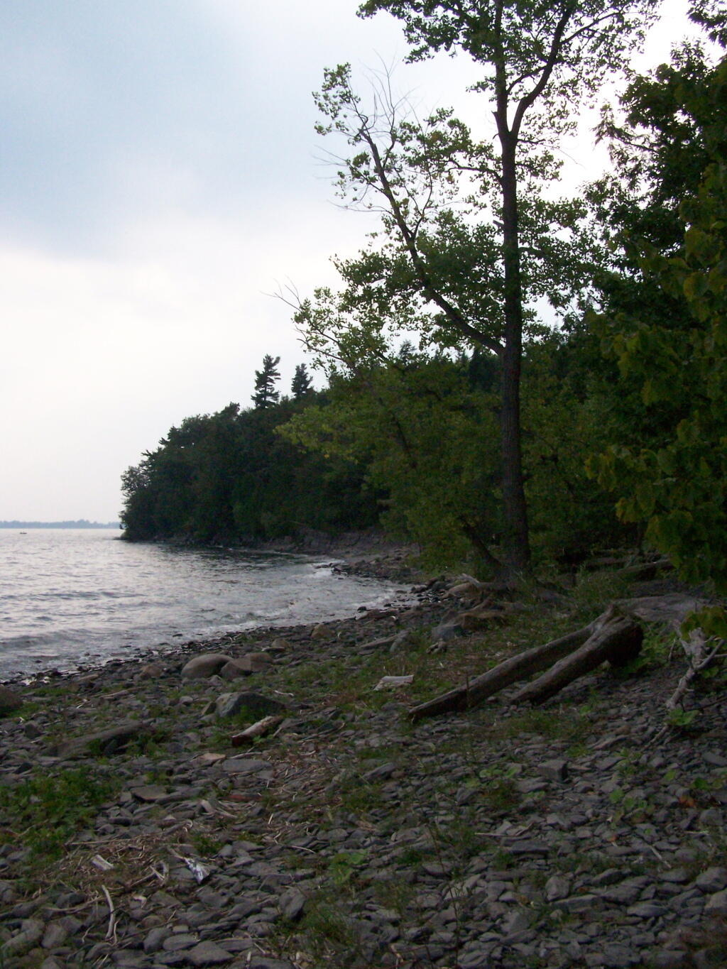
Back in my college days I used to either ride my bike or drive up in the pickup to Point Au Roche State Park, which is located about 8 miles from Plattsburgh. It has fantastic views of Lake Champlain, and on less humid days, some great views of the Adirondack Mountains.
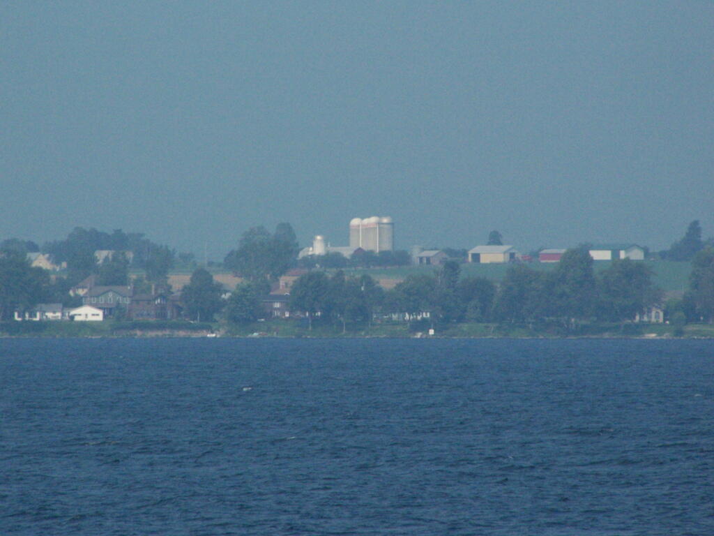
I went for a walk out along Long Point on Sunday Night and Monday morning. It was amazing to come back to the place which I so much remember from when I was back in college. The only difference I noticed was the wind turbines you could see on Rand Hill, just barely through the evening haze.
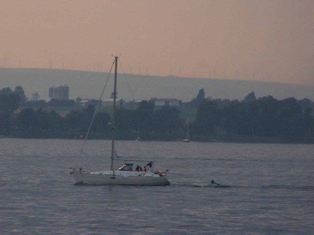
When I went for the walk this night, it was very hazy and hot. It wasn’t raining, but from the amount of fog and humidity you might not have guess it.
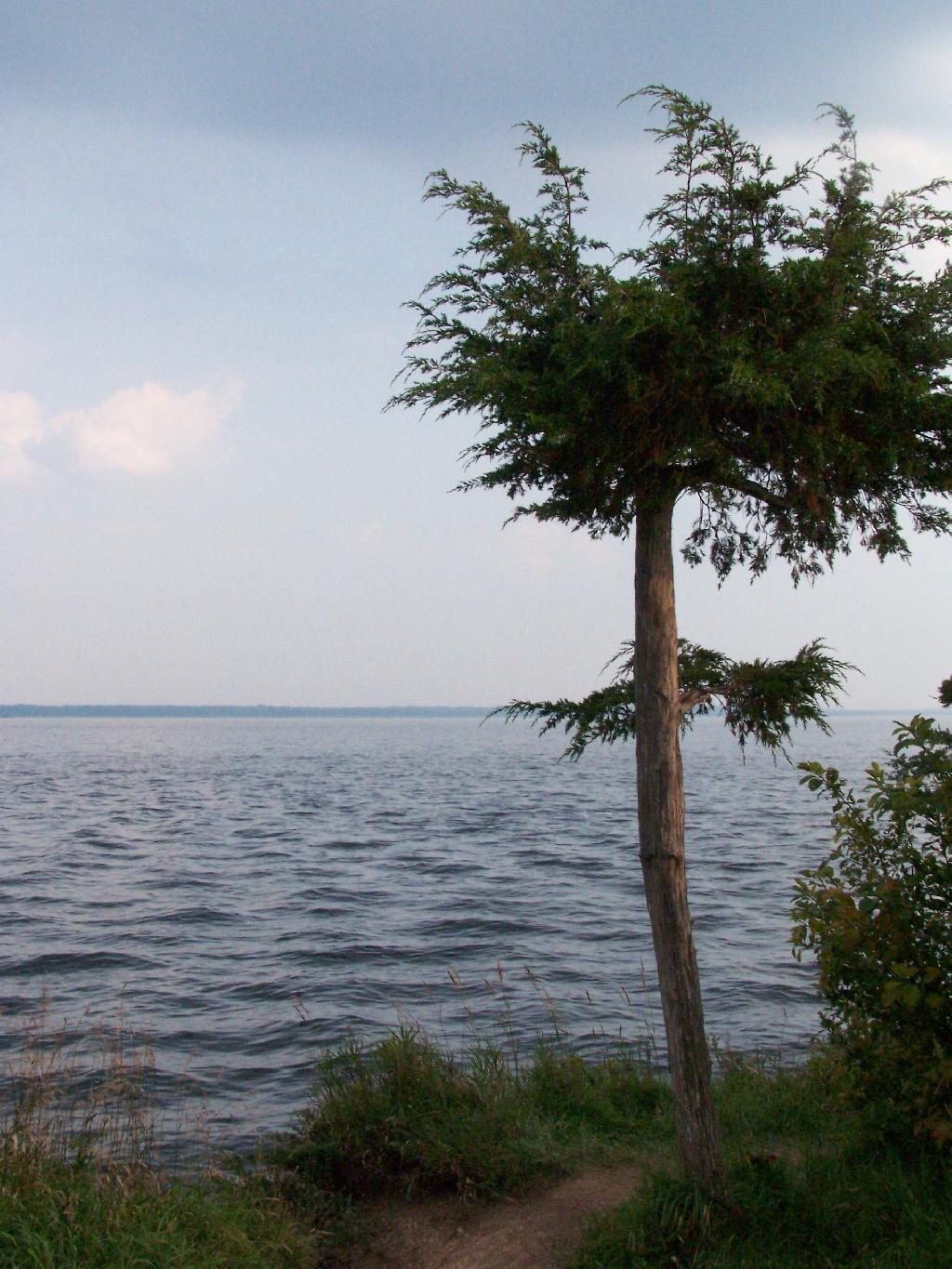
The next morning was almost as hazy and hot and humid, but with some nicer views.

At the end of Long Point.
Map of hikes (red = Sunday, yellow = Monday).
View Hikes of 2009 in a larger map