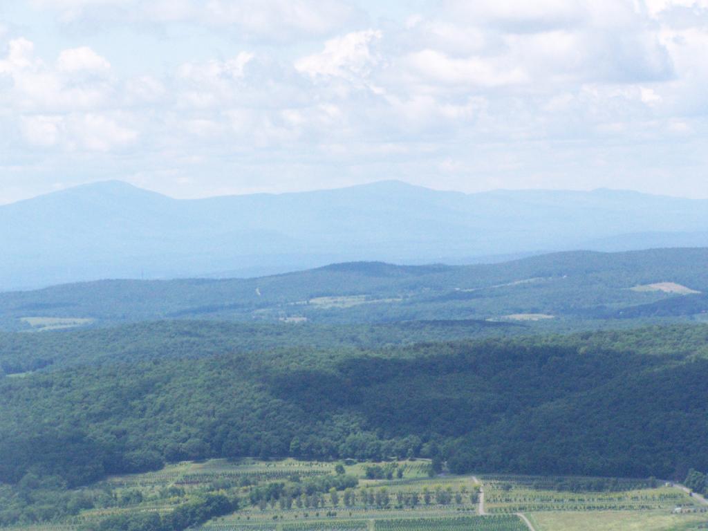
catskills

11 Fire Towers I Visted In 2009, Part 1

This past year I have spent a great deal of time hiking up mountains and visiting fire towers. Here are pictures of the first five fire towers I visited this year, along with a short description and maps.

Make sure to all check out Eleven Fire Towers I’ve Visited This Year, Part 2 which will be featured on Tuesday, November 17, 2009.

April 5, 2009:
Overlook Mountain Fire Tower

The first fire tower I climbed this year was Overlook Mountain Fire Tower outside of Woodstock. This tower is nearby the remains of the Overlook Mountain House and has some rather awesome views.

Information and Pictures from my visit to Overlook Mountain.
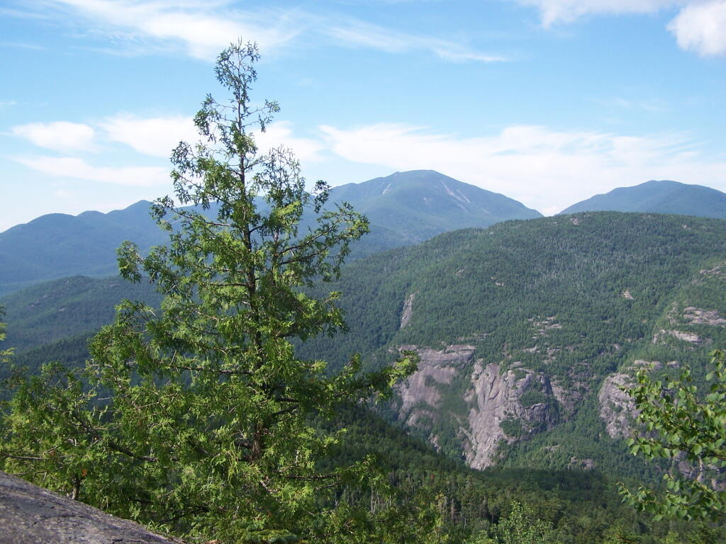
Untitled


View Hikes of 2009 in a larger map

April 10, 2009:
Hunter Mountain Fire Tower

The second fire tower I climbed this year was Hunter Mountain Fire Tower outside of Hunter. This is the second highest mountain in the Catskills at 4040 feet. The views are less exciting compared to other mountains I’ve been up. I took the much steeper Beecker Hollow Trail, but one can take the longer horse trail in from the west side, if you don’t mind stepping in horse manure.

Information and Pictures from my visit to Hunter Mountain.
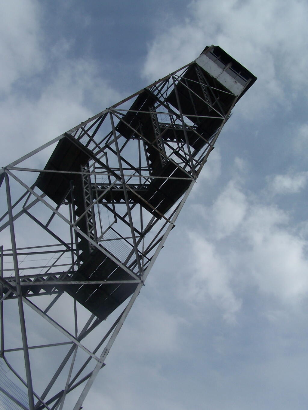
Hunter Firetower

Plateau Mountain


View Hikes of 2009 in a larger map

April 17, 2009:
Hadley Mountain Fire Tower

The third fire tower I climbed was Hadley Mountain Fire Tower in the Adirondacks near Hadley and NY 9N. This has some amazing views of the Great Sacanadaga Lake along with the Southern Adirondacks.

Information and Pictures from my visit to Hadley Mountain.


View Hikes of 2009 in a larger map

April 19, 2009 & August 2, 2009:
Beebe Hill Fire Tower

The fourth firetower I climbed this was Beebe Hill in the Taconics near Exit B3 of the NYS Thruway Berkshire Spur. It has great views of Northern Columbia County’s rolling country. There also is the Chance of Thunder Lean-to nearby the fire tower, so you can climb it up at night like I did one beautiful Saturday in August.

Information and Pictures from my visit to Beebe Hill.


View Hikes of 2009 in a larger map

June 6, 2009:
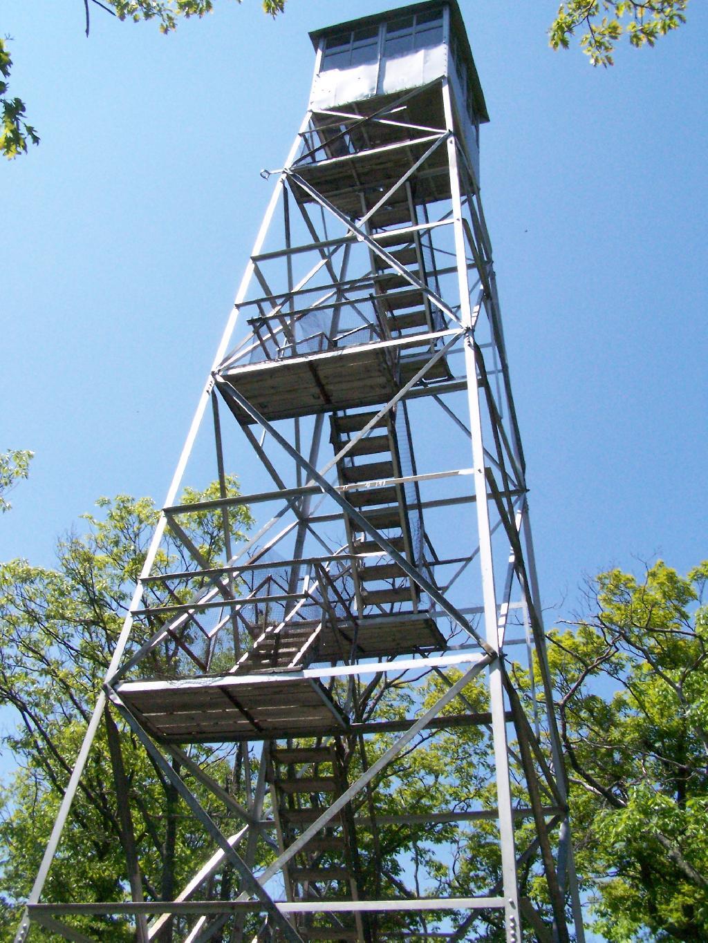
Mount Tremper Fire Tower

The fifth fire tower I climbed this was Mount Tremper in the Catskills. Despite having almost no views until you climb the tower, it does have some interesting views of the interior Catskill Mountains. It was a somewhat hot and hazy day when I climbed the mountain.

Information and Pictures from my visit to Mount Tremper.
Mount Tremper Firetower

Devil's Clove


View Hikes of 2009 in a larger map

June – November:
The Next Five Towers.

If you like this, then make sure to see the next six on Eleven Fire Towers I’ve Visited This Year, Part 2.

Map: North Hudson - Moriaville Trails
Map: Skyline Drive State Forest

Panther Mountain

The same day I visited Giant Ledge, I also hiked up Panther Mountain. Panther Mountain is about 750 feet higher then Giant Ledge, and is one of the high peaks, at an elevation over 3,500.

Hiking

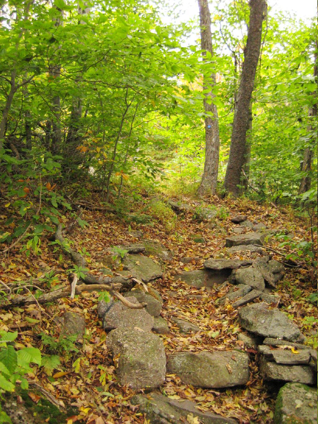
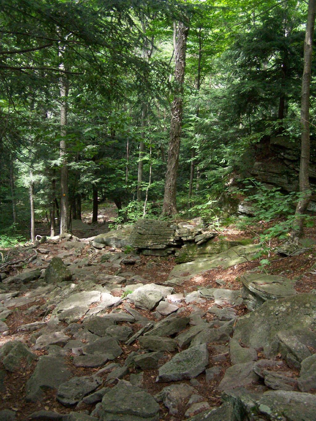
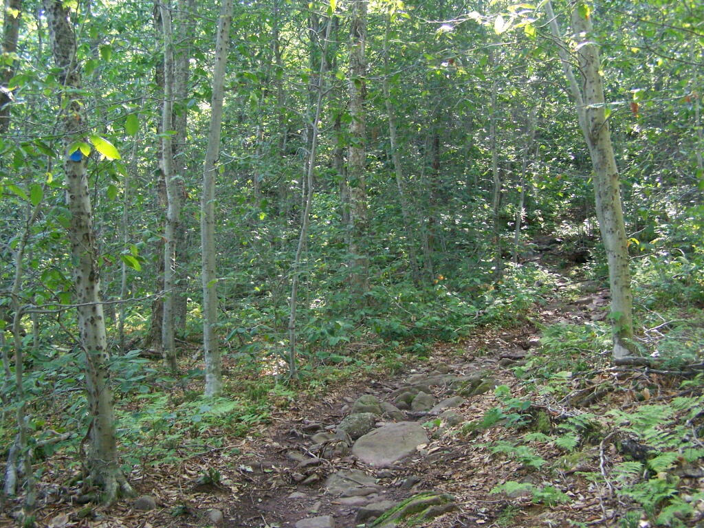
Portions of the trail are made up of rock stairs up the mountain. Other parts you climbed up rocks, but nothing too steep.

Stairs

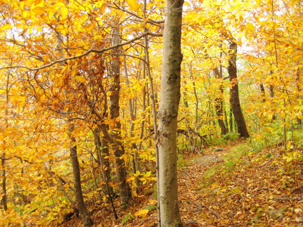
Along the trail in full color.

Color on the Trail

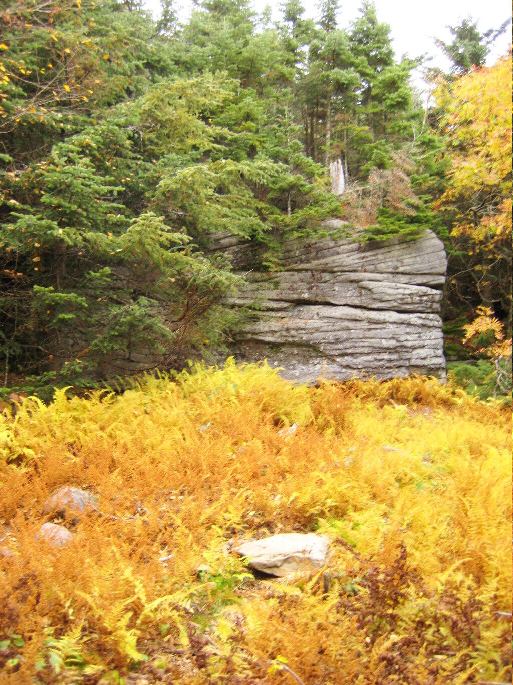
Interesting swamp with the ferns a bright yellow color.

Rock and Marsh

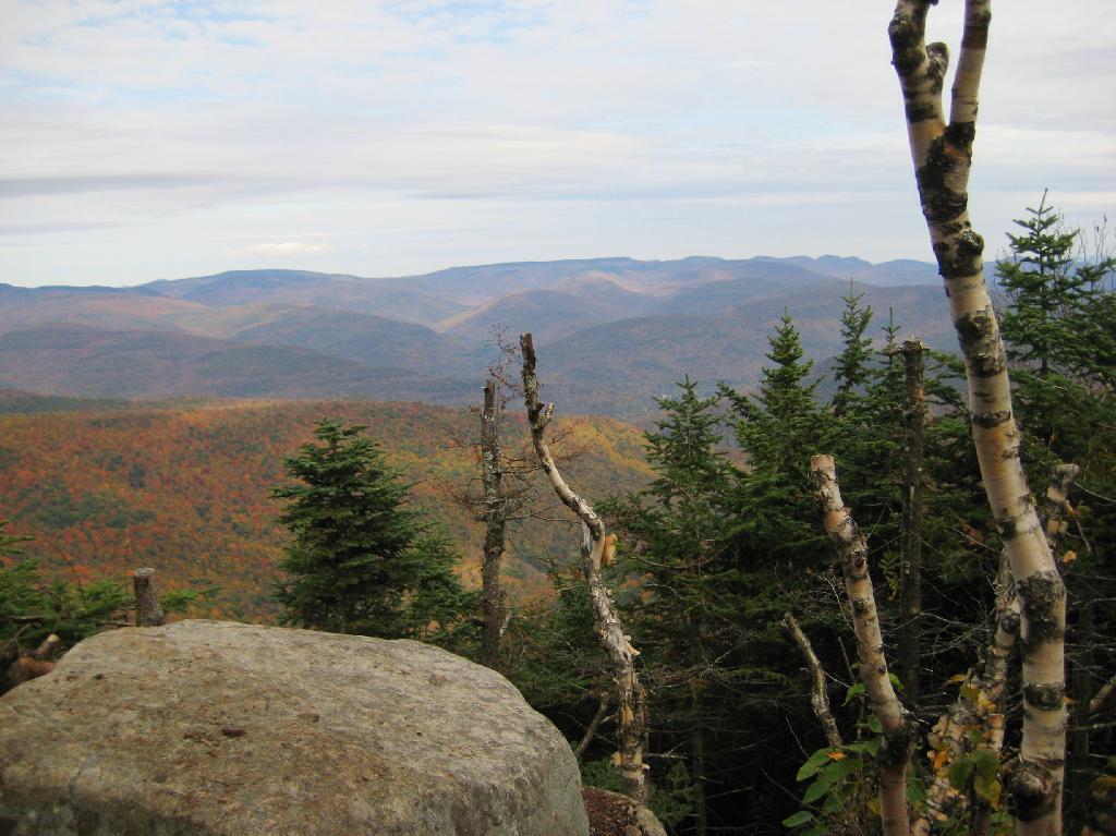
A top the mountain, one of the first views is on top of a boulder.

First Good View off Panther

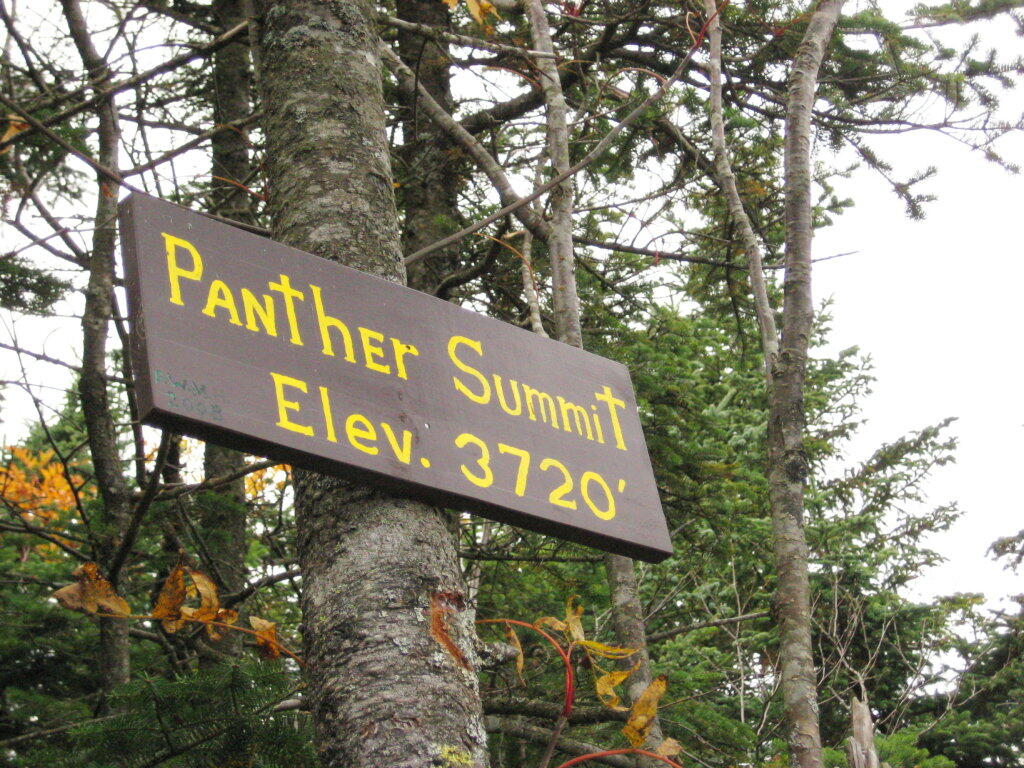
The Panther Summit is at 3,720 feet.

Panther Summit

One of the best views off the mountain was how clear Indian Head Mountain looks from off of Panther Mountain.

Indian Head

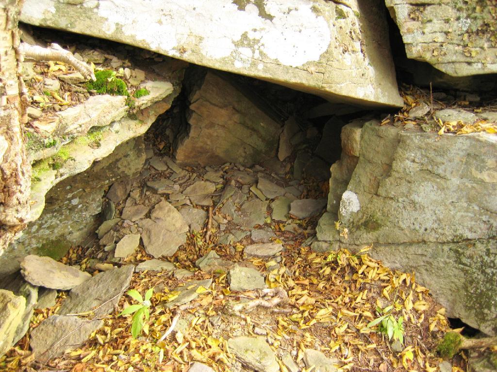
Off the trail, there is this cute little cave.

Cute Little Cave

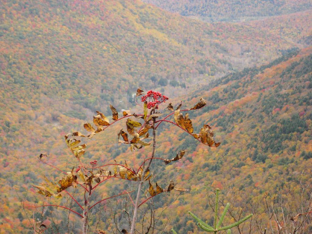
Looking into the Woodlawn Valley.

Berries

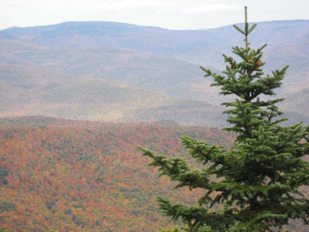
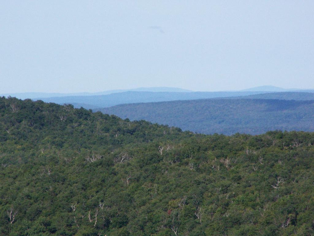
Mountains through the valley, looking off of Panther Mountain.

Mountains

Here is map of hike.


View Hikes of 2009 in a larger map

Growing Up in the Shadow of Mountains

There are relatively few people who can say that they grew up in the shadow of the mountains. The mountains loomed large over the town I grew up, showing their large footprint as the rose out of the land just south of the town where I went to Elementary and High School.

Mountains

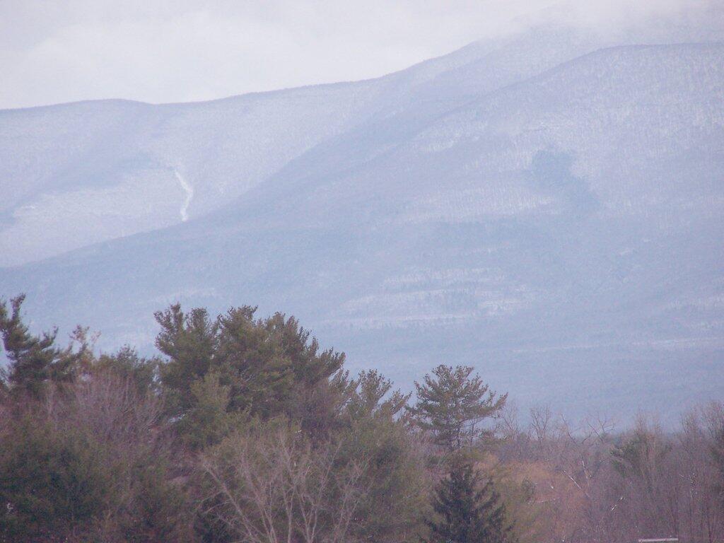
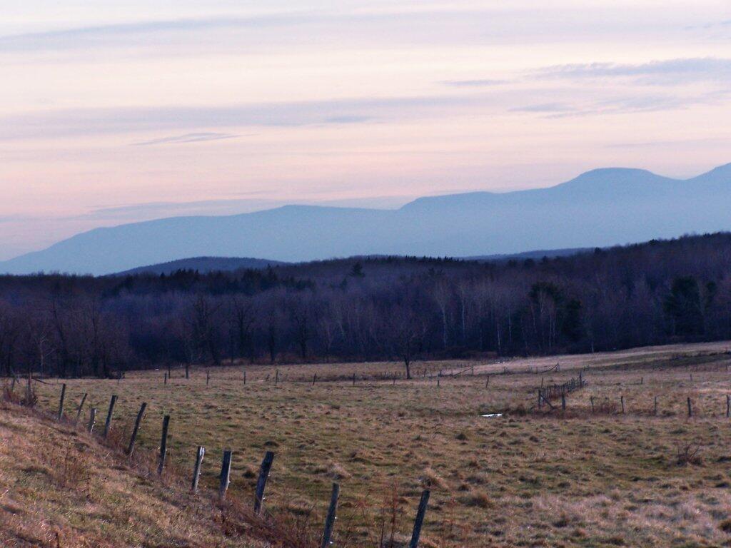
While I lived most of my first 25-years of my life on my parents eight-acres, playing in the woods and in the creek, I went to school in Greenville, which is about 15 miles from the northern-most range of the Catskills. Those mountains loom large over the town as one proceeds south on the two-lane NY Route 32. At times, they look as though they must almost reach up to the sky, as high exists in the world.

They are an impressive feature. A routine feature to anybody who lives out by Greenville and sees them everyday, but still one that leaves a lasting impression on oneself. When I was younger I might have hiked the mountains a few times, but I never spent an extended period up there. I certainly could not have identified every peak from memory or been able to look up and know what it look likes on down. Today I can.

Catskills from Route 2

When I was younger I probably should have asked more questions and respected those mountains more. I should have paid more attention, and spent more time hiking them. Yet I didn’t. Regardless, those mountains, constantly hanging over the Greenville skyline had a persist ant impact on my life.

Slide Mountain

I decided it was a nice day out, and I wanted to be able to say I had gone up to the tallest peak in the Catskills, at 4,180 feet. According to Wikipedia, it may actually be somewhat taller then that (as much as 4,200 feet), but they’ve never done a bench mark on the top of it.

The first part of the trail is fairly steep.

Continuing Downhill

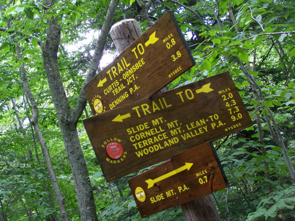
It climbs up to an old woods road, that is an easy walk and relatively flat, as it goes up to the Curtis-Olsbee Trail. You see the split between the old Jeep trail up Slide Mountain, and the the trail to Curstis-Olsmbee.

Slide Mountain Options

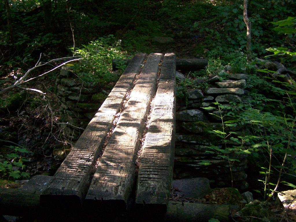
The trail crosses a high footbridge, without rails. It once was a full-size bridge for vechicles, but no more.

Foot Bridge

Reaching a historic marker of Curtis-Olmsbee Trail.

Curtis-Olmsbee Winds Uphill Slowly

You climb, and then there are some places with views to South and West as you continue along. A few moderately steep places, but overall the trail is not super-steep.

Views to the South

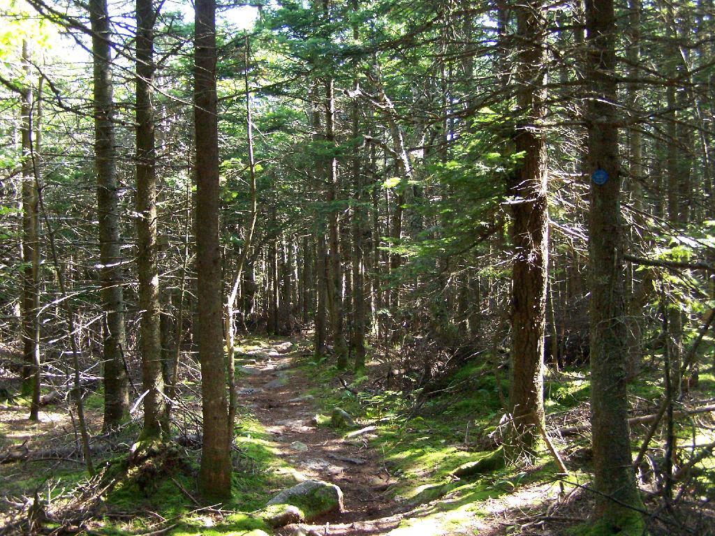
The trail once you reach the first couple of views, remains relatively flat as you wander past several swamps and borreal forests.

Borreal Forest

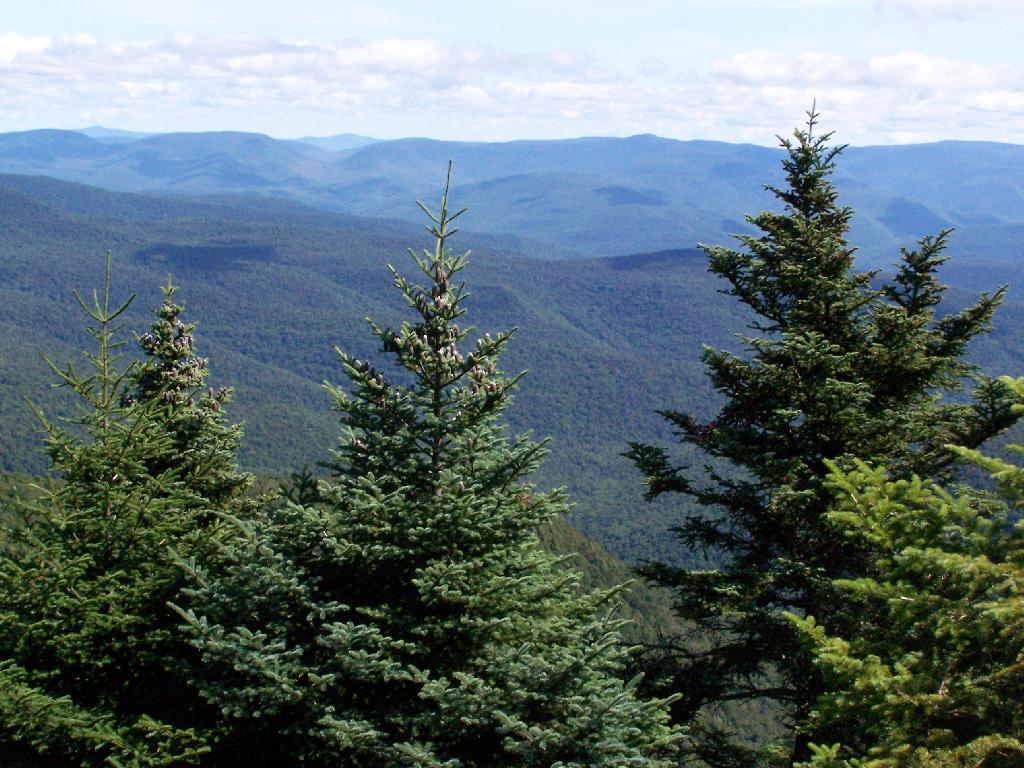
When you reach almost the top there is a point where you can see almost 70 named peaks.

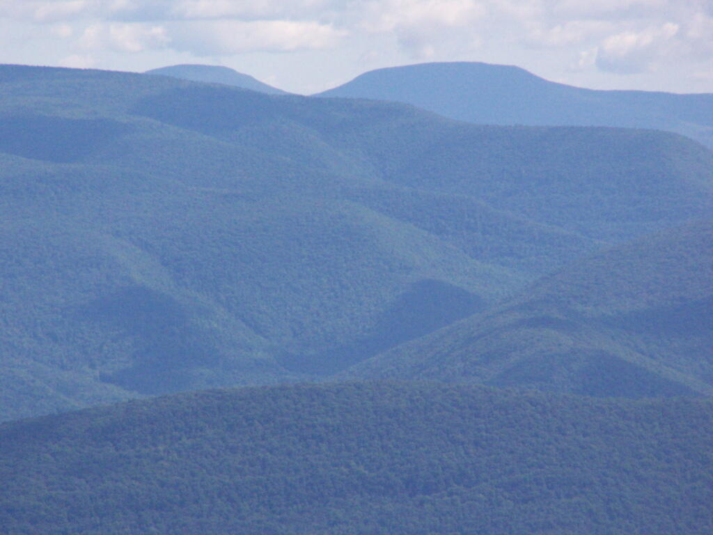
Trees and Mountains

Enjoying the mountains.

Texature

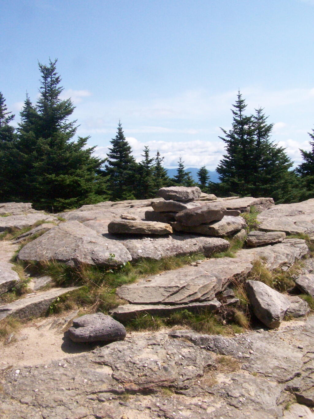
The top of the mountain is John Broughs Point. It has some interesting, partial views to the north and east.

Pinnacle of Slide

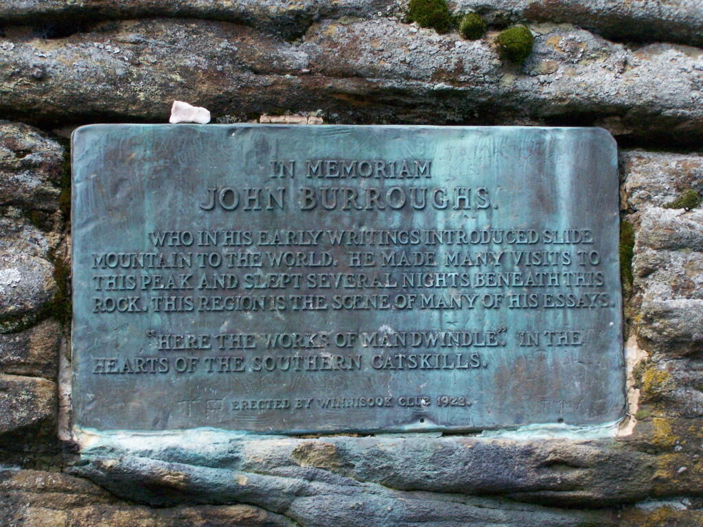
Remembering John Bouroughs

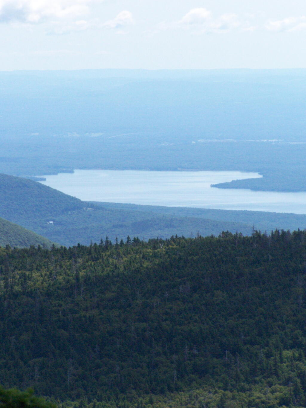
The Ashokan Reservior from Slide Mountain.

Asokahan Reservoir

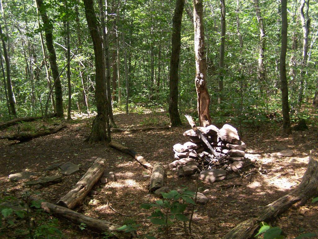
An established, primative campsite about 3/4 the way down the mountain or one mile from the Slide Mountain Parking Area.

Camp Over This Way

Campsite

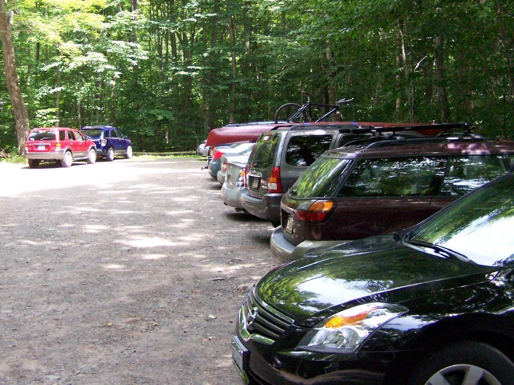
By the time I left, the parking lot was packed.

Packed Parking Lot at Noontime

Here is a map of the route I took.


View Hikes of 2009 in a larger map

Sunset Rock

After hiking Bash Bish Mountain, I decided it was early enough in the morning that I would have time to visit Sunset Rock on Cedar Mountain. It has some of the most impressive views around.

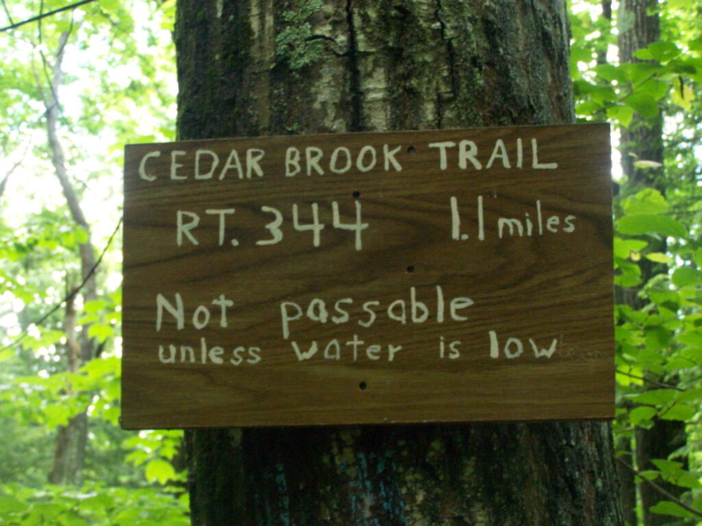
I decided to take the Cedar Brook Trail, the Blue Trail on up the mountain. This is not the recommended route if it’s been raining the day before hiking, like as it had been when I went out hiking.

Cedar Creek Waterfall

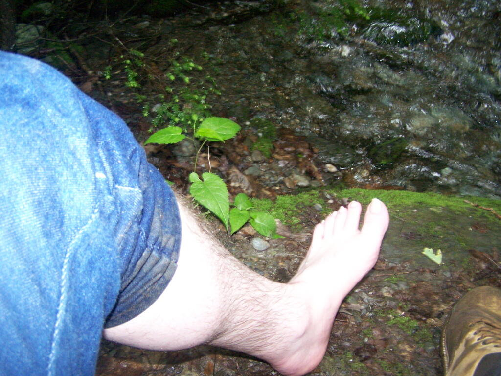
The trail crosses the Cedar Brook five times, and one of locations was deep enough I found myself wading through at least one of those spots.

Wading

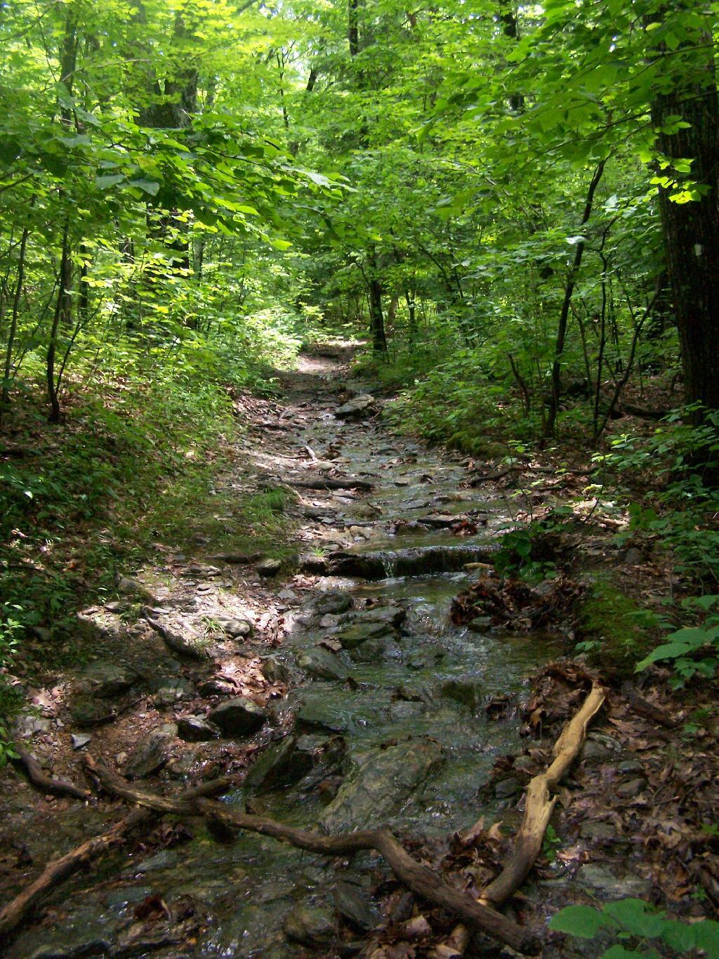
Once you climb out of the Cedar Brook Valley, via a rather steep trail, you connect up with the main South Taconic trail to Sunset Rock. This trail was much less wet then crossing the brook, but still rather flooded in several locations

Wet Trail

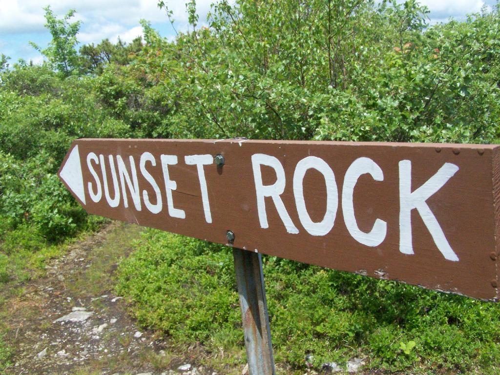
Once you reach the top, the foliage changes. First it goes to open canopy with ample ferns and decedious trees high above. At the top, it is quite open with just a little bit of scrub oak and ample blueberries around. From the must-needed Sunset Rock sign, you follow a trail about 1/4 mile to Sunset Rock, a small boulder you walk on top for wonderful views of the valley below.

To Sunset Rock

The views from Sunset Rock are amazing. As you could see by this picture, it’s gotten very clear out by around 1 PM. I have to say this is one of the nicer views I’ve seen around, with the Catskill Mountains in the background.

The View

Here is what it looks like towards the South-West, towards Overlook Mountain and beyond that, the Shawangunks.

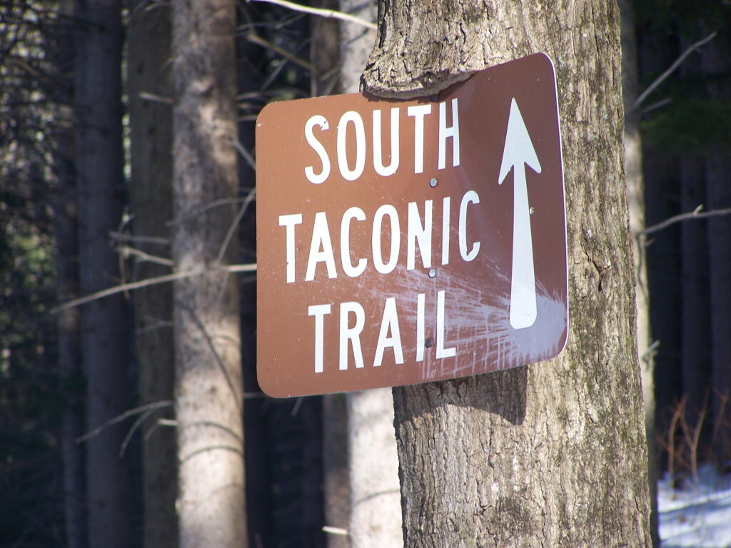
South Taconic Trail Sign

The main South Taconics Trail descending Sunset Rock was much drier, following an old wagon road, that is smooth enough you could drive a regular car up it. If you have any question about how wet it’s been, this route is the one to take. I will upload a photo later.


View Hiking in 2009 in a larger map