catskills

Mount Tremper

Last Saturday I went hiking up Mount Tremper in the Catskills. This is one of five remaining fire towers in the Catskills, and I was excited to do my fifth tower in the Catskills.
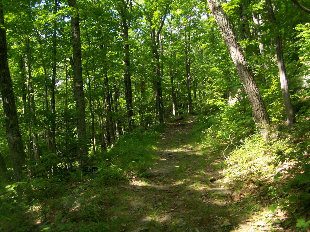
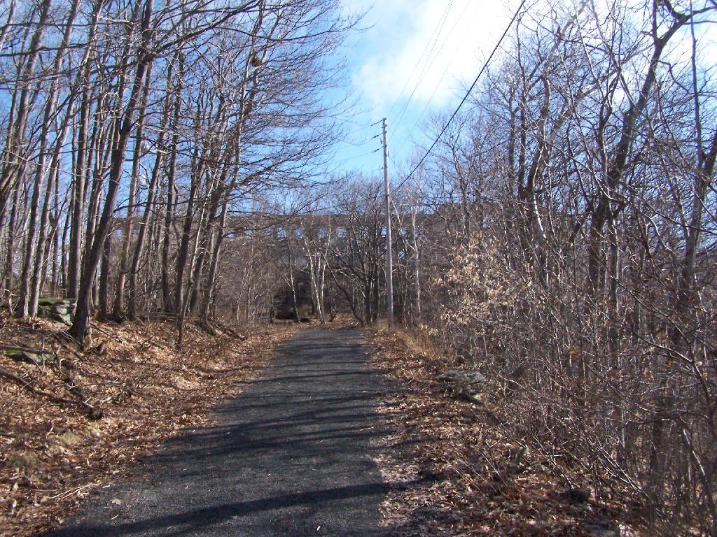
Woods Road

It was a nice day out, warm, but not to warm. It also was quite clear which I discovered when I reached the top of the mountain. The trail is 2.5 miles to the top, but it’s elevation increases are moderate, following an old woods road to the tower the entire way. Parts of the old woods road are eroded away, but it’s still an easy hike, as long as your patient.

As I often go hiking along, one technique I use on such a trail like this is to bring my Mp3 player and listen to podcasts as I hike on up. I knew it would be about a two hour hike up, so I put two hour long programs on the player, and the time passed quickly.

About 2/3rds the way up the mountain there is a lean to, the Baldwin Shelter once can stay in. There also is another lean-to adopt the mountain.
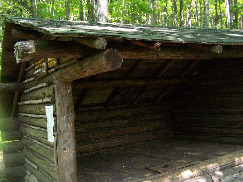
Baldwin Shelter

Once you reach the top, there are no views except a few between the trees. The only views you can see from this mountain are from the fire tower, which are quite spectaular, however you must go all the way up into the tower’s cabin before your above the tree level.
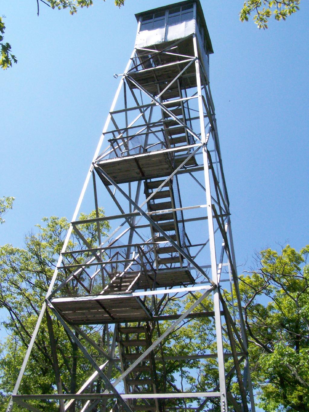
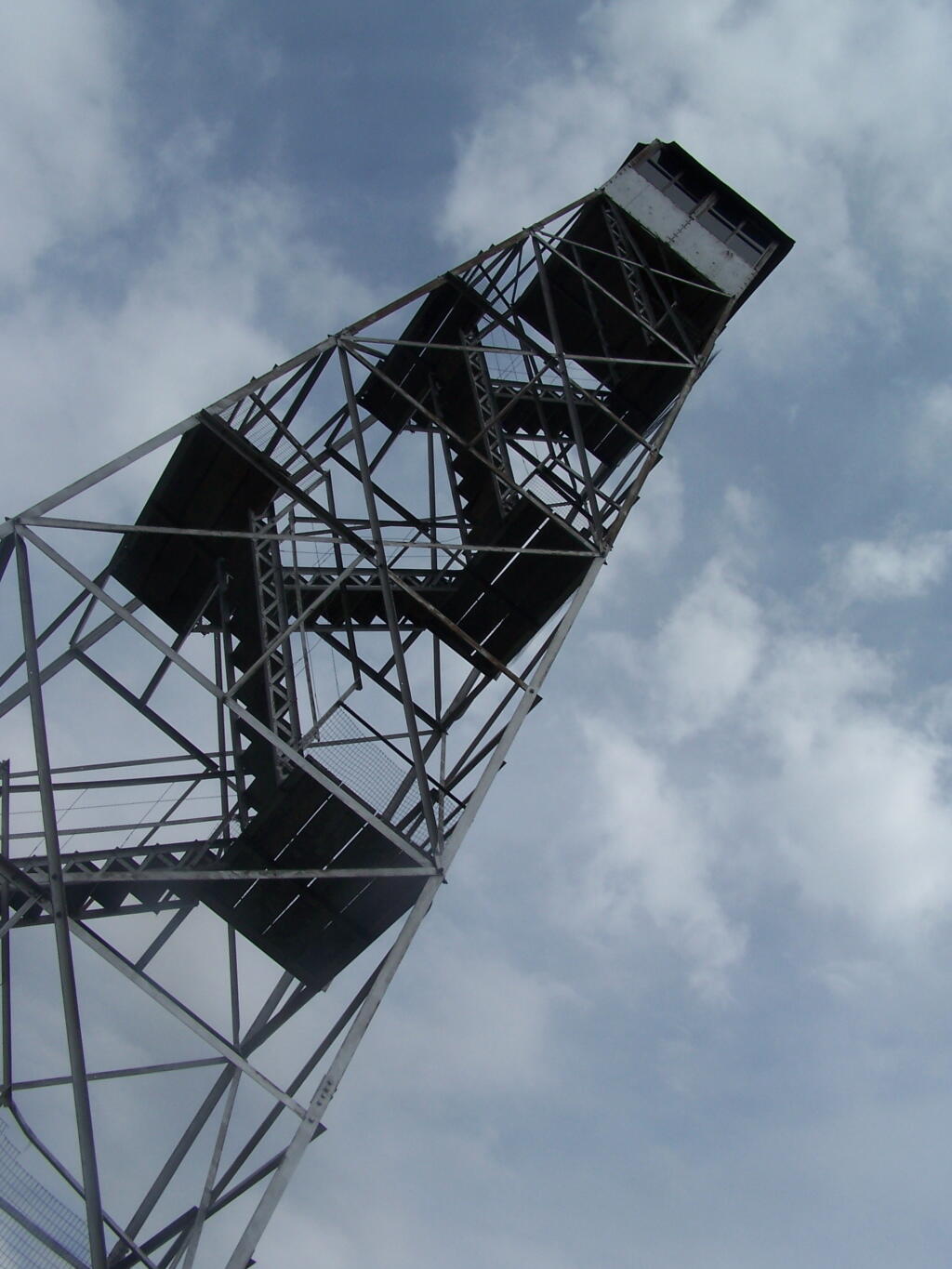
Mount Tremper Firetower

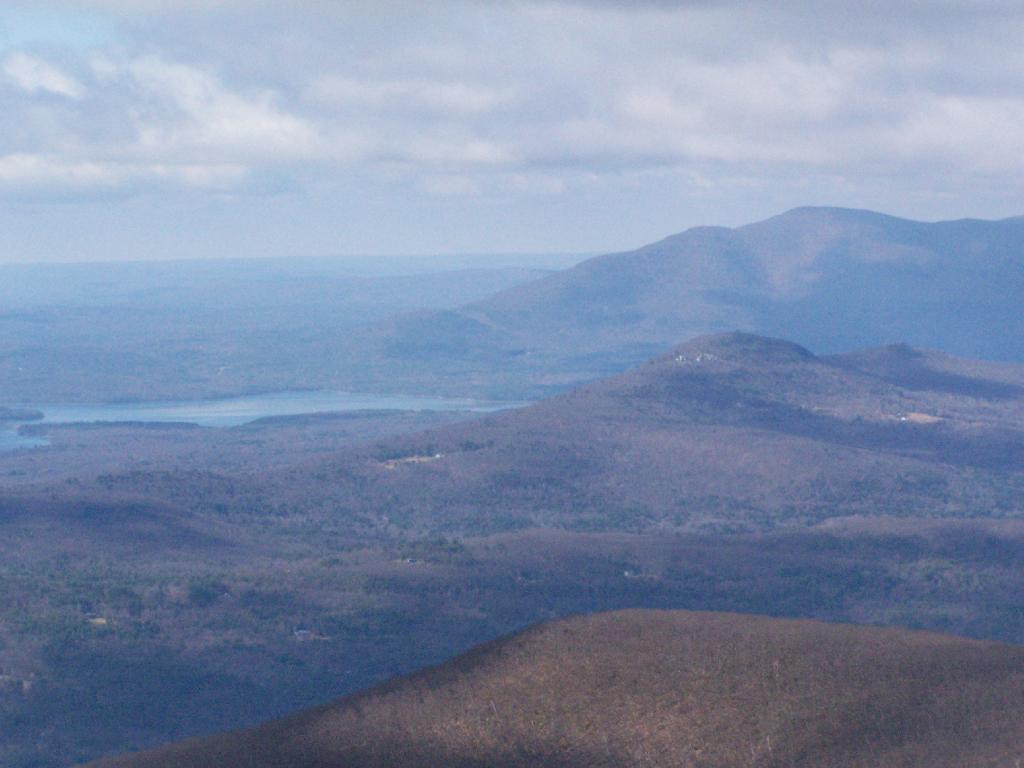
The views from the tower are amazing. This is out toward Hurley and the Ashoken Reservior.
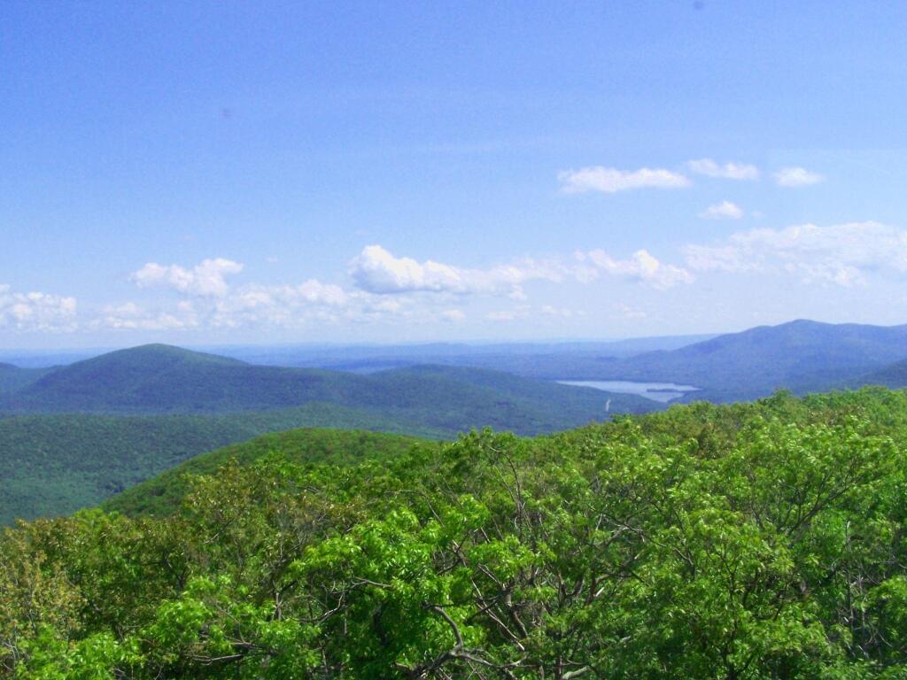
Hurley

Here’s Devils Clove. Some reflections are noticeable from trying to shoot through the windows of the Fire Tower cabin.
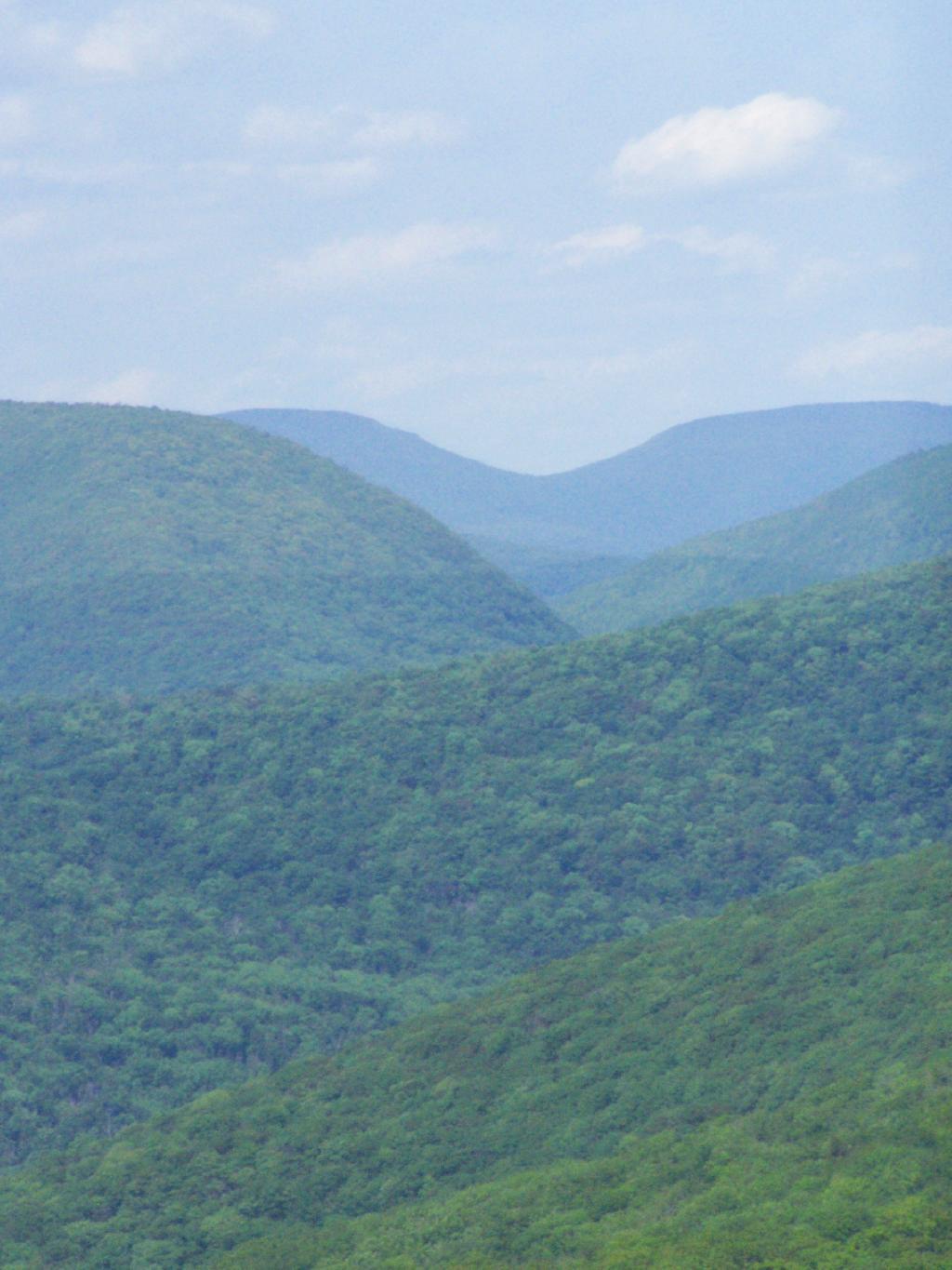
Devil's Clove

Slide Mountain through the windows of the tower. It was hot up there, and the bugs and glass made it hard to get pictures. I tried to open a window in the tower, but the latch wouldn’t budge.
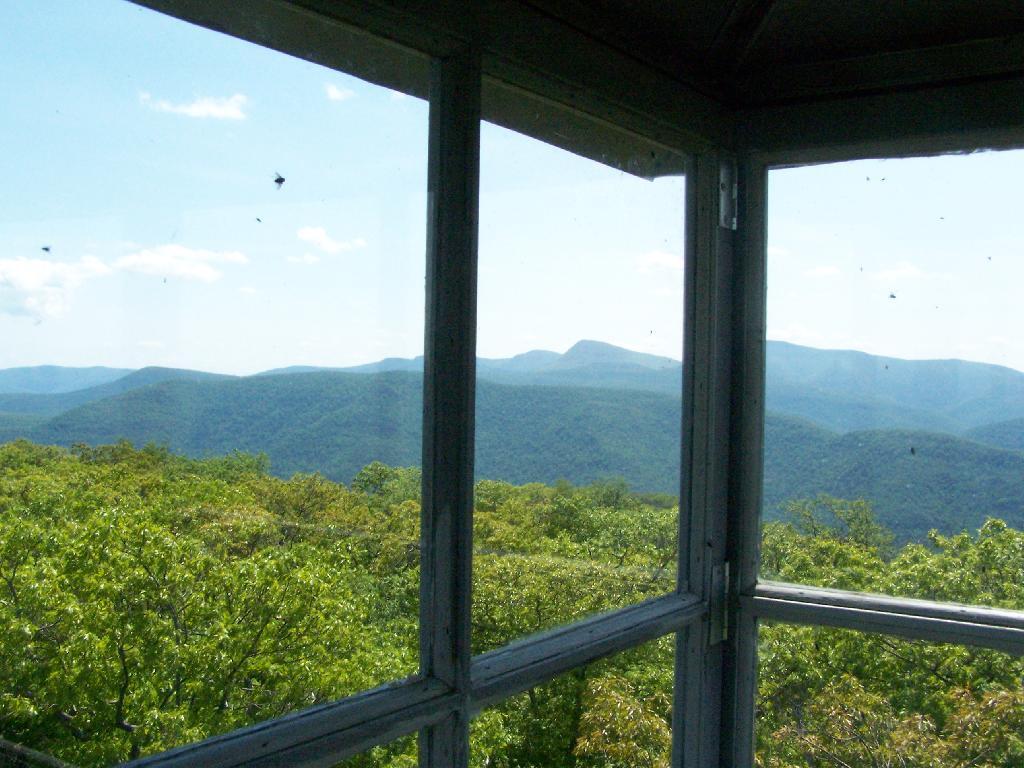
Slide Mountain

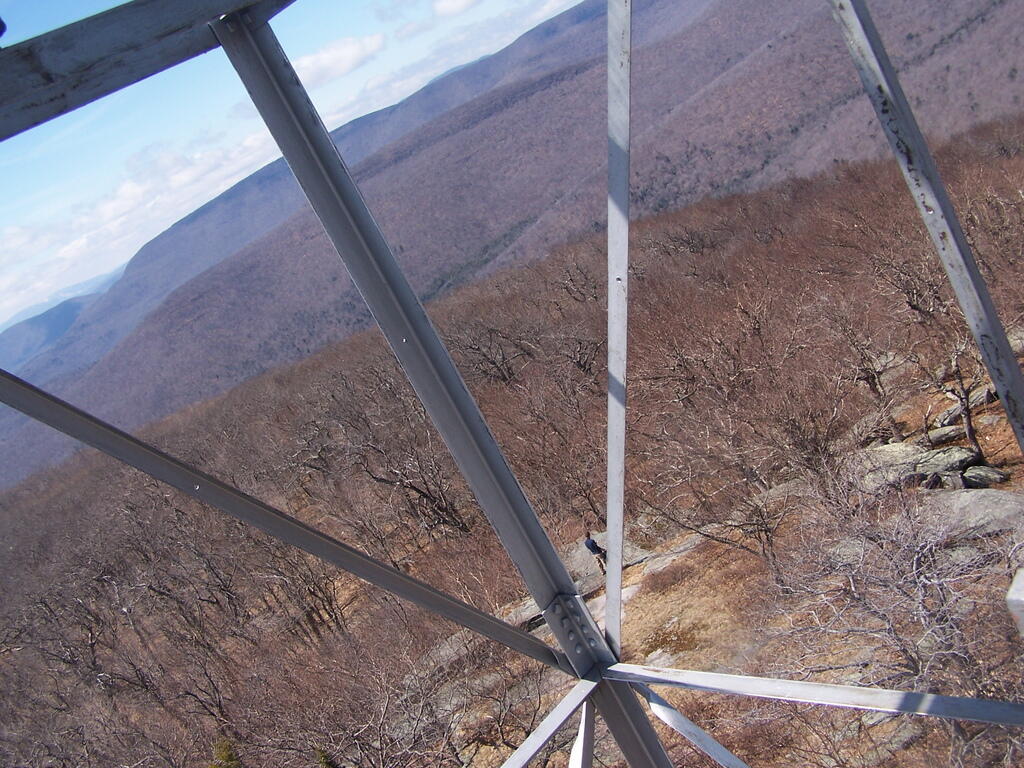
Descending the tower.

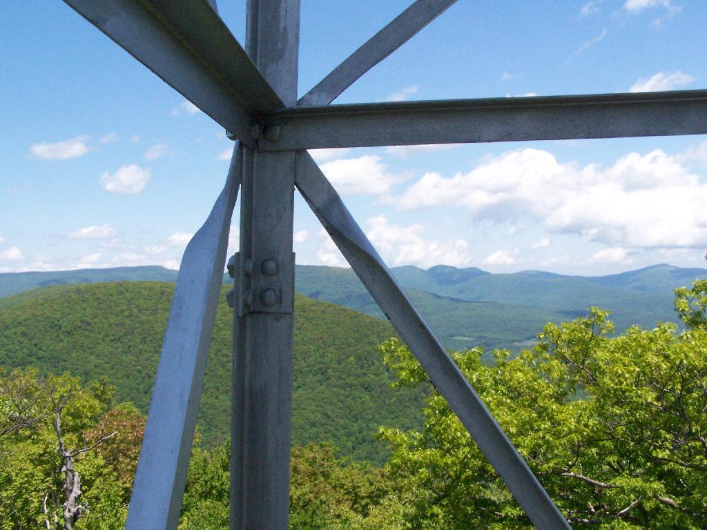
Tower Steel

I walked a ways onto the blue trail beyond the tower, searching for other views, however there are no views except on the tower on Mount Tremeper. A nice hike for sure, but I would have preferred some views where I could sit down, have my lunch, and enjoy the edge of the mountain.


View Hiking in 2009 in a larger map
Hunter Mountain via Mink Hollow

On Friday I hiked up Hunter Mountain, the second tallest peak in the Catskills at 4040′ elevation above sea level. From the trail head you clime 2020′ feet in elevation, about doubling your height, but it’s not that bad when you consider the climb is over 2.5 miles via the Becker Hollow Trail.

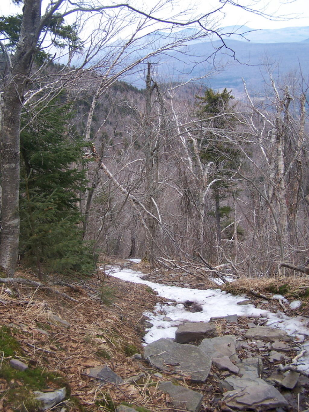
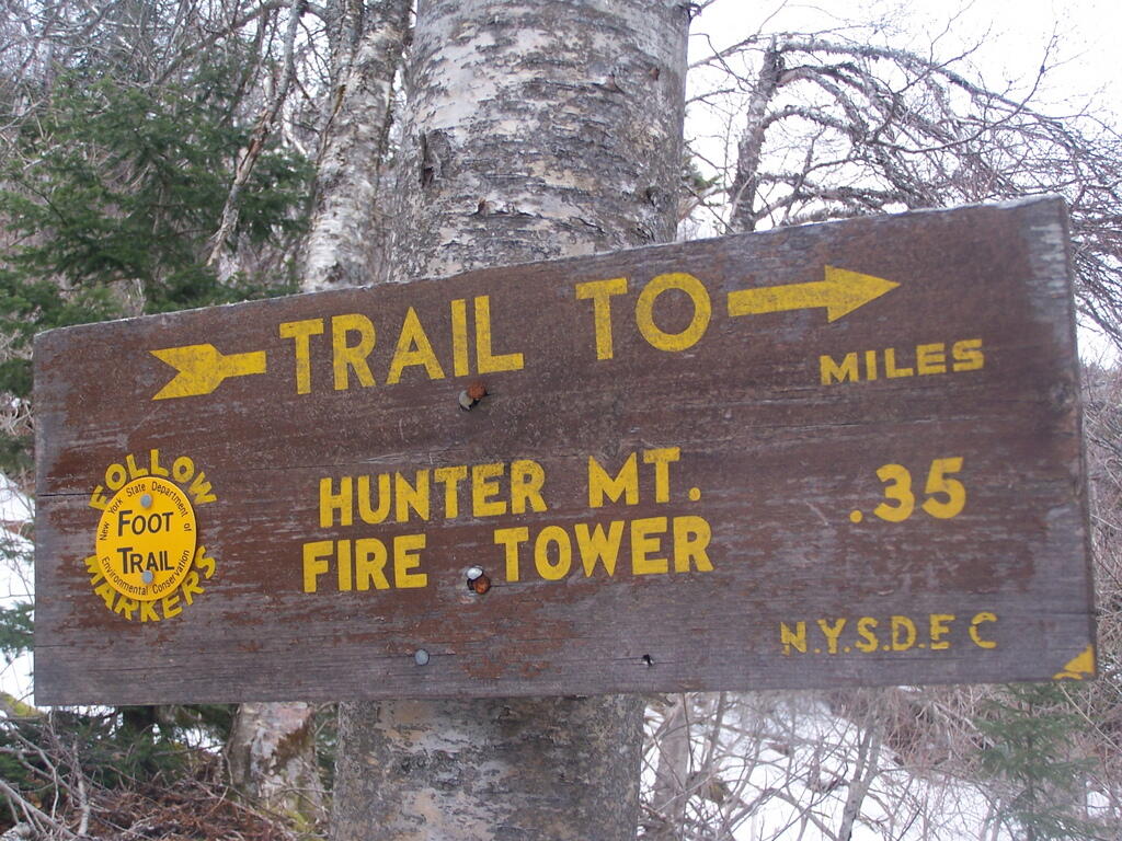
Yellow Trail to Hunter Mountain Firetower

It was a beautiful sunny day, although I was well aware that rain was expected by afternoon. I had gotten a late start, not reaching the trail head until about 9:30 AM. It was quite hot going up, in part because there was little shade to hide out under.

The first part of the trail was relatively modest, but it quickly got steeper. It didn’t seem that bad, but I could feel the elevation, and with the sun it was quite warm. I took frequent breaks, stopping for lunch, pictures, water, and just to cool down, especially where I could find shade under the pine trees.

Hunter Firetower

Around 3500 elevation marker, the trail headed south and got snowy and icy. It was a steeper hike, but not any worst then any other of the Catskill peaks. Then the yellow trail split off the blue trail, and it was a 1/4 mile up to the fire tower.

The fire tower is in the middle of the Catskills, so the surrounding mountains block the view of the valley except for a few views, such as down the Palenville Clove. Westerly views are the best, as are some of the southerly views.

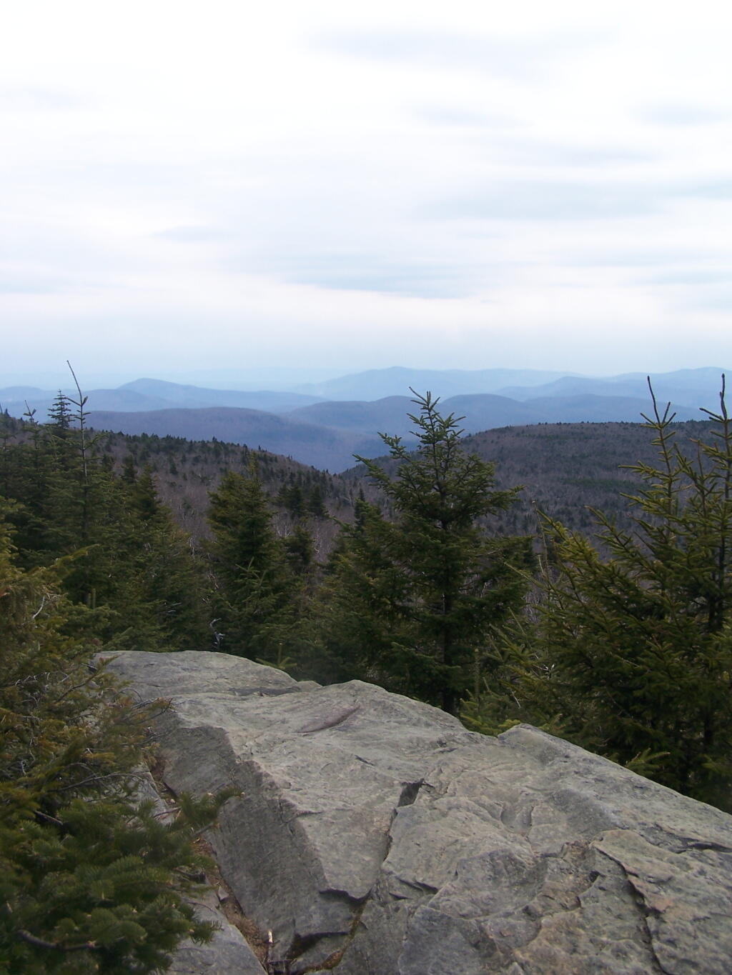
Southern Overlook

The top deck of the fire tower of is missing the safety screen. Not that it matters much as the railing makes it pretty unlikely to fall, but I still have enough of a fear of heights to be extra careful. Stupid, sure.

A little ways to the south on the blue trail, about 1/2 mile, there is another view that overlooks the south-west, including West Kill Mountains, Slide Mountain, and Belleayre, all clearly identifiable.

This hike is definitely worthwhile when things are green out, if you enjoy looking at mountains. But it was awful gray out, especially by the time I reached the top, and it had clouded over. The lack of views of the Hudson Valley and the river was somewhat disappointing, but not surprising.

Slippery Descent

I slipped on some ice on the way down, slide about 10 feet and certainly felt it the next day. Other then that, it was a nice descent, much easier then going up. It started to pour, just about the time I reached my truck.

Be sure to see the Central Catskills Photos, where many are from Hunter Mountain.

Hikers – Trail Head
Purple Line – Becker Hollow Trail
Flag – Hunter Mountain Firetower
Balloon – Hunter Mountain South-West Overlook


View Hunter Mountain Hike in a larger map
Thematic Map: Speed Limit on Interstates and State Touring Routes in Capital Region
Terrain Map: Lower Switzkill Valley

Overlook Mountain

This past weekend’s Catskill Mountain hike was a return to Overlook Mountain, the first hike I took when I was working on my Hiking Merit Badge back in Boy Scouts. I also chose it because it was a quick hop down Route 9W or Thruway from Albany.

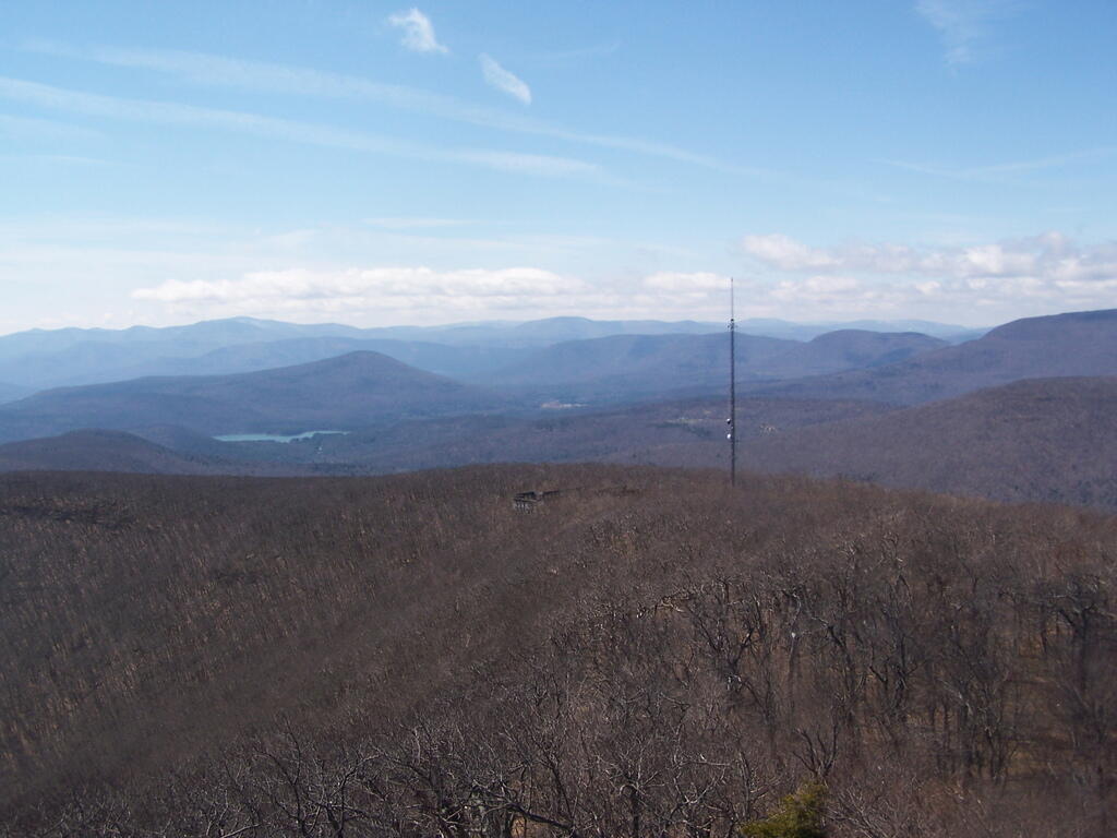
Radio Tower

Not getting as early of a start as I would have liked, I arrived at the trail at around 8 AM. There was only one other car when I got there, it was packed by the time I leftbe aware if you plan hiking there. It was a nice clear morning on Sunday, and I made it up to the Catskill Mountain house around 9 AM, and to the fire tower around 9:30 AM. It was an easy hike up, following a well maintained authorized-vehicle only road, although somewhat more difficult psychologically, as you could see a quarter mile or more of the road, as it sloped uphill, sometimes at a 10-15% grade. It was not particularly warm at this hour, but I stopped frequently to snap pictures and stay hydrated.

Approaching Catskill Mountain House

The ruins over the Overlook Mountain House (2.0 miles from parking area on Meads Mountain Road), was bigger then I last remember it. It was too bad it burned, although it’s kind of neat how the general public can inspect it and think how grand it must of been in the 1920s when it opened, and people drove up there in their Cadillacs of the era. I walked around and snapped some pictures. Then I went up to the fire tower, about 1/2 mile further. It was windy, and it appeared there was a gate closing it off, but I pushed it open and went right up. I didn’t go all the way to the top at first, because I have a little bit fear of heights remaining. I snapped several dozen of pictures.

Ashokan Mountain

There also is a trail with southerly view, allowing you to sit and look out over the Hudson River, Woodstock, mountains South of Overlook, and the Ashokian Reservoir. I can’t imagine how beautiful it must look in summer with everything nice and green. I took some notes, pictures, and just gazed at the landscape.

Thru Tower

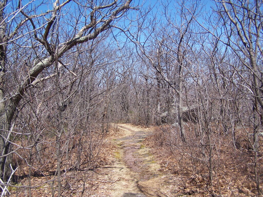
I then decided to head down the mountain. But it was early, around 11 AM, so I decided to go for a hike down to Echo Lake. It looked pretty from the fire tower. I had forgotten I had been down there, during the Boy Scout hike, until I reached the turn off for the Echo Lake trail. The trail from the fire tower to Echo Lake trail turn off, also known as the Overlook Mountain Blue trail, is a gentle descent, following a long abandoned old woods road, complete with extensive grading for travel by automobiles. It’s no longer passable by cars, but remains of the fairly extensive cut and fill can be seen. Some snow and ice where on the trail, and parts where muddy, but no part too bad. This section is 2.0 miles.

Echo Lake Turn Off

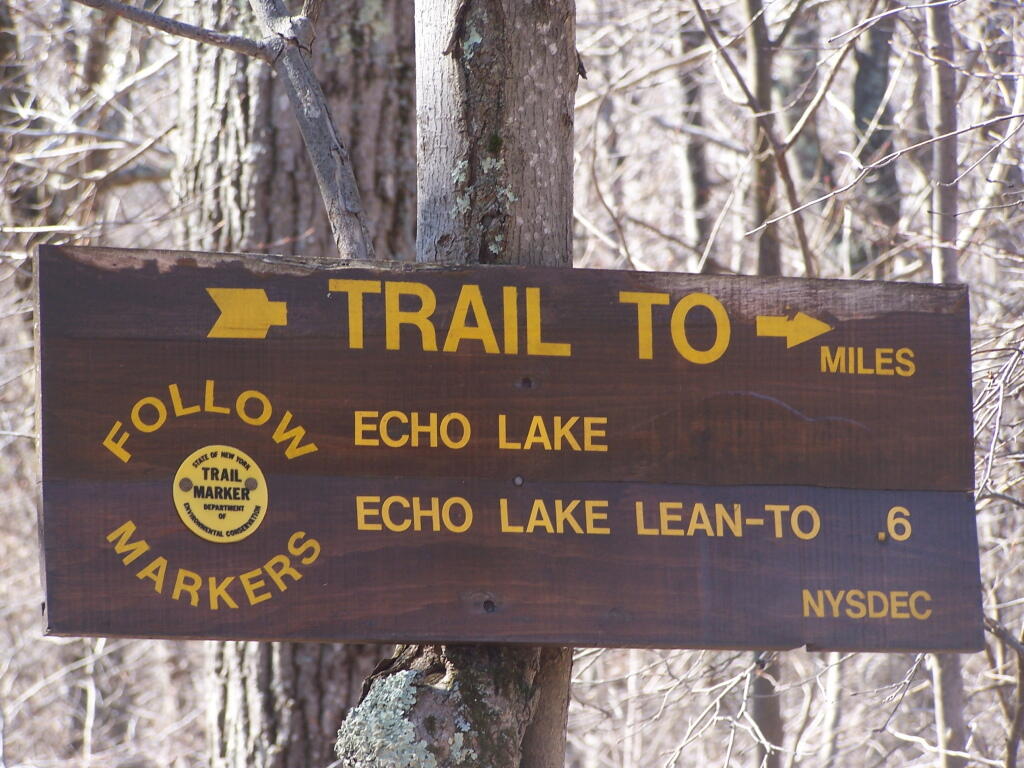
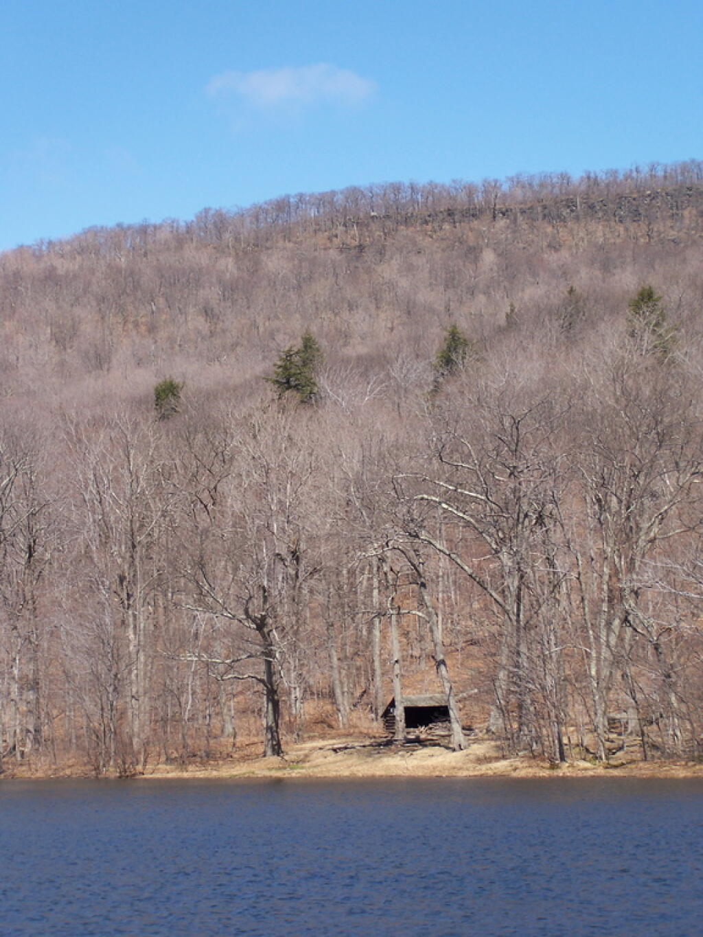
The yellow trail down to Echo Lake is somewhat steeper. You descend a lot of altitude in 0.6 miles. Echo Lake is relatively small, but pretty. There is a lean-to down there, along with an established camping area near the lake. The lean-to appeared to be well used and older. It arrived there around noon time. Spend about a half hour there.

Blue Trail

The trail from Echo Lake back up to the fire tower was not a bad hike. Passed several hikers, and made it back to the fire tower around 1:30 PM. It was amazing how much the light had changed in 3 hours. It went all the way up the tower this time, as the wind wasn’t blowing so hard, and also to the overlook. Around 2 PM, descended the trail and headed back to the truck. I arrived back around 2:45 PM. It was an easy hike down, although you had to keep holding yourself back.

Leanto In Valley

See more photos from this hike in the Central Catskills Photos Series.

Hikers – Trail Head
House – Catskill Mountain House Ruins
Flag – Overlook Mountain Fire Tower
Tent – Echo Lake Lean-To

Map: Wolf Gull State Forest
Map: Cayuga Shores Wildlife Management Area