Wet Trail 🖼️
Download a JPEG Image of the Wet Trail.
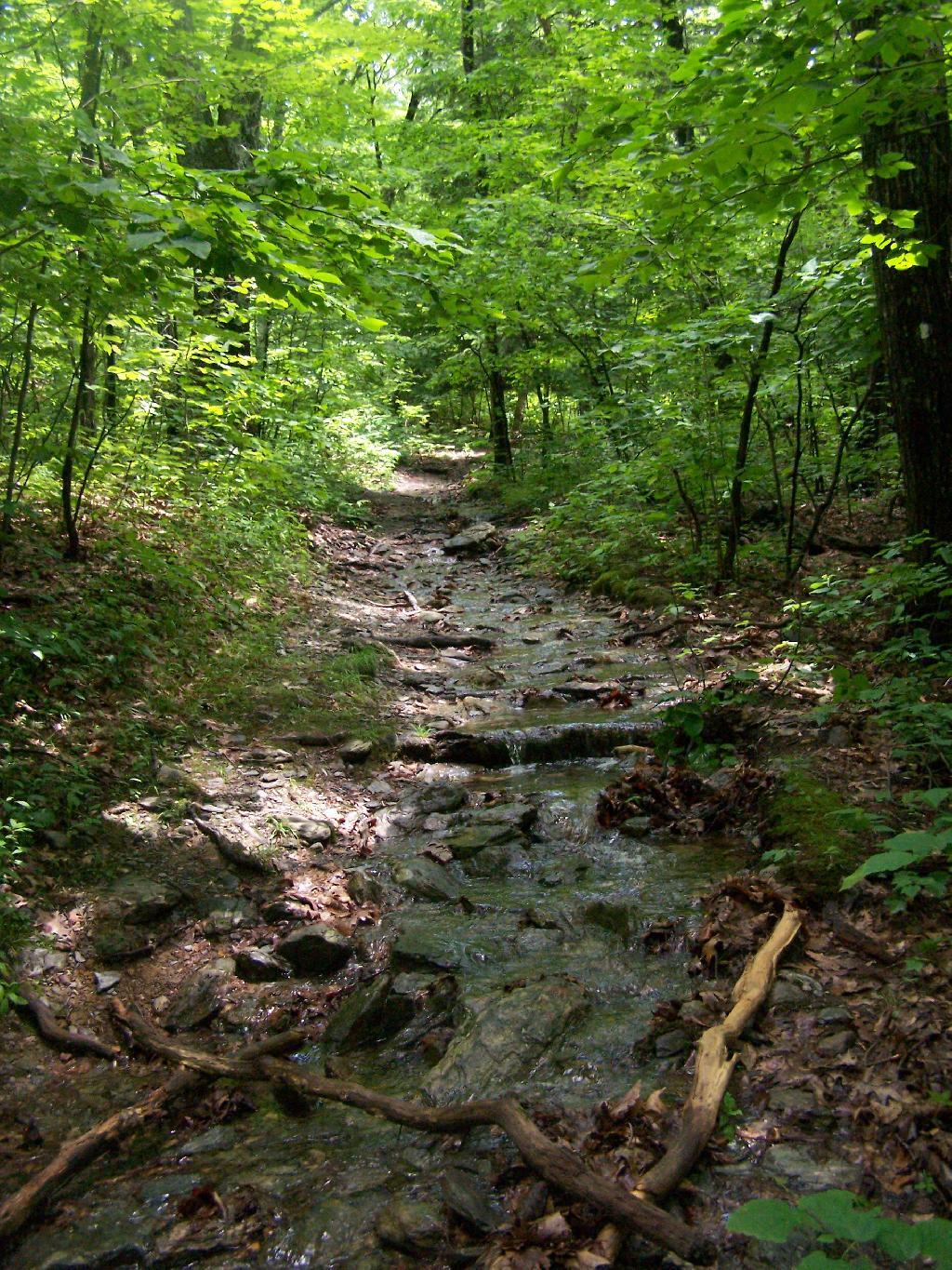
Wet Trail ...
All that rain turned the Sunset Rock Trail into more of a stream then a hiking trail. It wasn't all that eroded or steep in this section, just very wet.
Taken on Sunday June 14, 2009 at Bash Bish Falls.

More about Bash Bish Falls...
Bash Bish Falls might be the most spectacular waterfall in the state Massachusetts. It's literally located on the state line of NY and MA in Mt. Washington, MA. (It's a thirty second drive up from Taconic State Forrest which is in Copake Falls, NY.)
http://berkshirehiking.com/hikes/bash_bish.html


