Search Results for: rock lake

Finger Lakes, Southern Tier, Western NY Trip to Offer New and Old Experiences

Next week, Columbus Day Weekend and the days following it, I will be taking a trip out to the Finger Lakes, then out to Western NY and the Southern Tier, then to Chautauqua County, then dip down into Pennsylvania, and come back along US 6. Many of these destinations I’ve been to before, but also there are many other destinations I want to explore, anew.

IMG 2663

I will probably start the first part of the week at the Finger Lakes National Forest and/or Sugar Hill State Forest. I would like to check out many of the gorge parks in fall, especially Robert Treman State Park. I also am interested in seeing Fillmore Glen, possibly on the way out there, as that is the only gorge I have not been to in the various Finger Lakes State Parks.

Later on the week, I want to visitΒ  Harriet Hollister Spencer Recreation Area, then Letchworth State Park. Possibly stay over night at the campground, depending on the weather. Then at some point, I want to check out the Allegheny County State Forests, and I may be able to camp at Bully Hill State Forest. The Bully Hill website says that hunters are allowed to camp at the various gravel pull offs at that state forest. It is after all, small game hunting season.

Flowing North

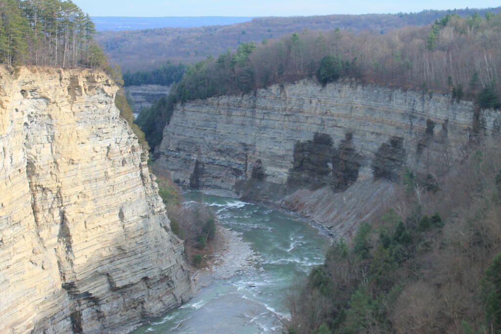
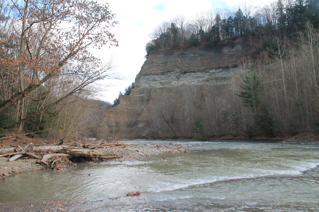
Then I hope to visit the ever so special Zoar Valley gorge. I bet you that gorge is filled with color this time of year. It certainly was spectacular, last November, at least when it wasn’t dropping wet snow.

Great Valley

From there, probably visit Little Rock City, then progress west through Chautauqua County to the Chautauqua Gorge. There are campsites there, and I might spend a night there, until heading south to Allegheny National Forest for a day or two. Visit Kinzua Bridge State Park – which surprisingly I have never been to.

South Branch as It Enters the Main Branch

From there, probably take a southernly route, e.g. State College and Jersey Shore, before eventually coming across the Pennsylvania wilds into Endless Mountain Country, and ultimately returning back to New York.

McCarty Hill from Great Valley

At least that’s the tentative plans. Things don’t always work out the way they first appear, and it’s possible that for the Allegheny leg, in particular, that some of the roads and overlooks will be gated off for the government shutdown, assuming it’s not resolved in the next few days.

Owls Head Mountain Firetower (Long Lake)

There are at least three different mountains in the Adirondacks known as Owls’ Head due to their small rounded peaks, with broad cols for shoulders. This one is the one near Long Lake, that has a 30 foot LS 45 Aermotor Firetower on top of it.

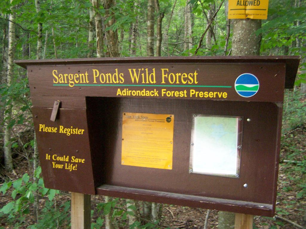
Sargent Ponds Wild Forest Kiosk. This is where you sign in, so they can have an idea on trail use, and make it easier to find you if your lost or injured.

Sargent Ponds Wild Forest Kiosk

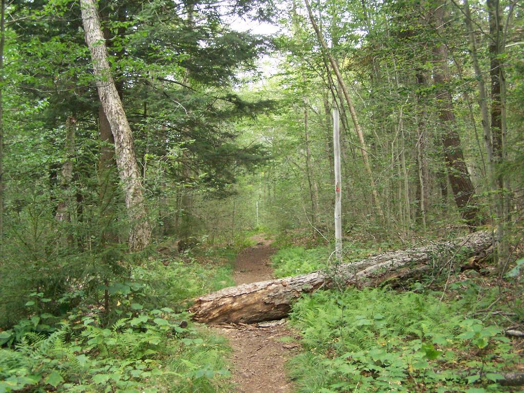
1/2 Mile In. The trail crosses this downed tree.

1/2 Mile In

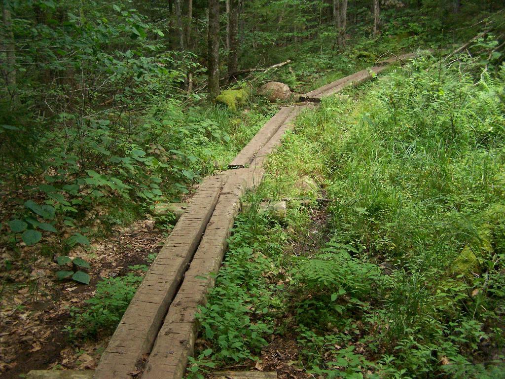
Boardwalks. Parts of the trail cross marshy areas on board walks, like these constructed on the first 3/4 mile of the trail.

Boardwalks

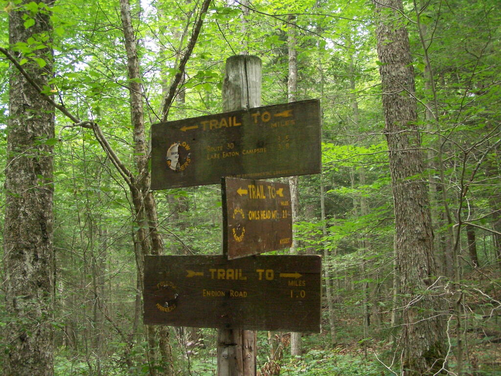
T Intersection. Make a left at one mile, to go up Owls Head. The other direction takes you to the Lake Eaton State Campground.

T Intersection

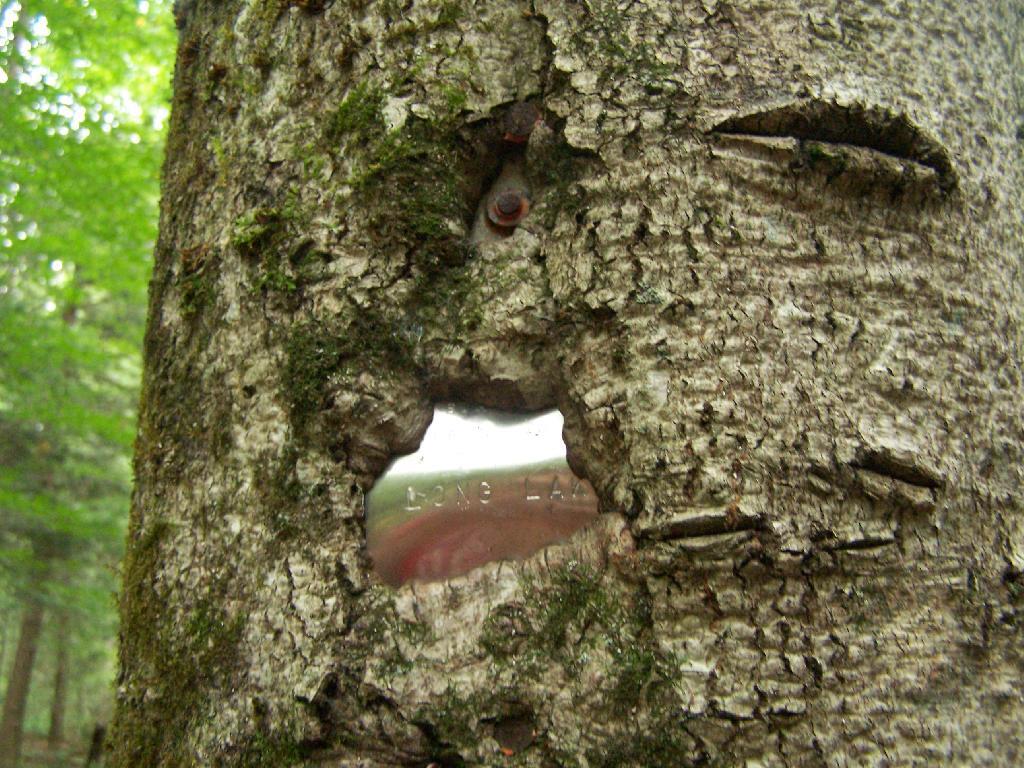
Grown Over Steel Trail Marker. It looks like in 1982, the state experimented with these imprinted steel trail markers along the trail, long since largely grown into the barks of the tree.

Grown Over Steel Trail Marker

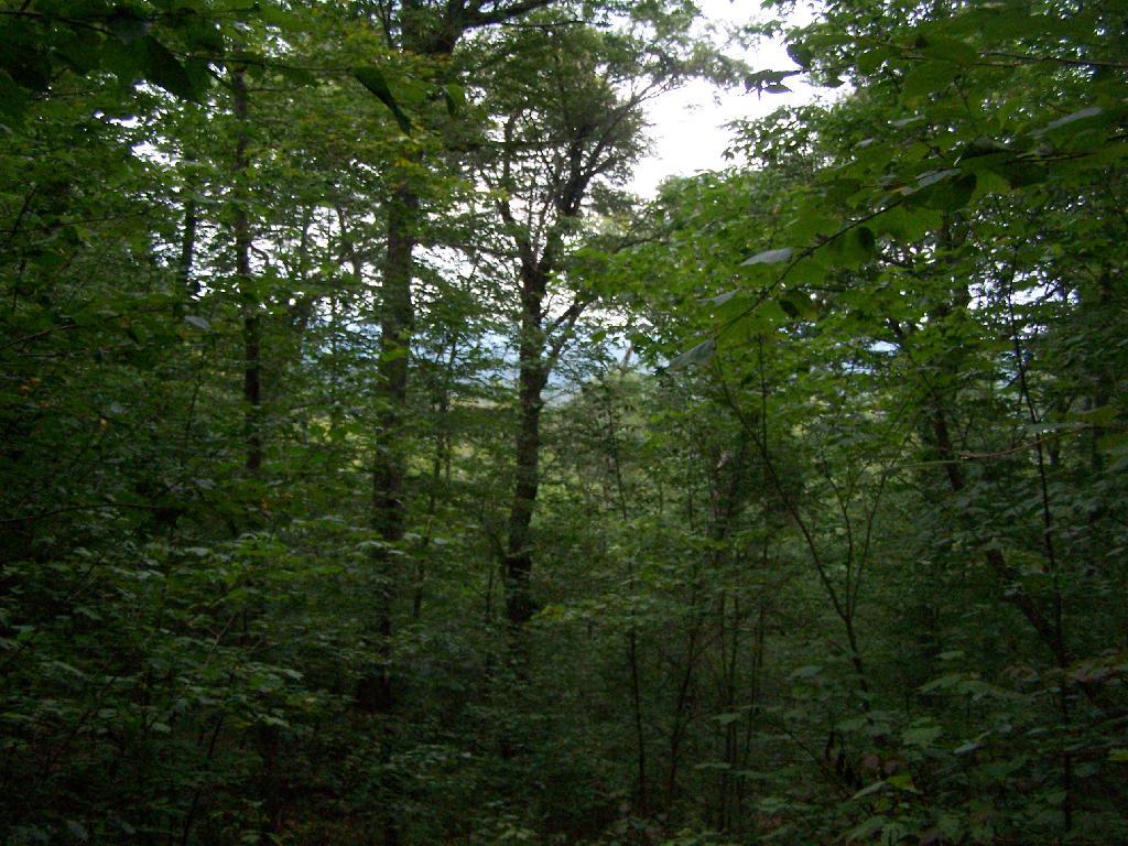
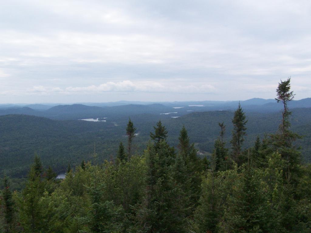
Views as You Ascend. This is looking backwards, towards the Sargent Ponds Wilderness, Lake Eaton, and the timber lands between here and Tupper Lake.

Views as You Ascend

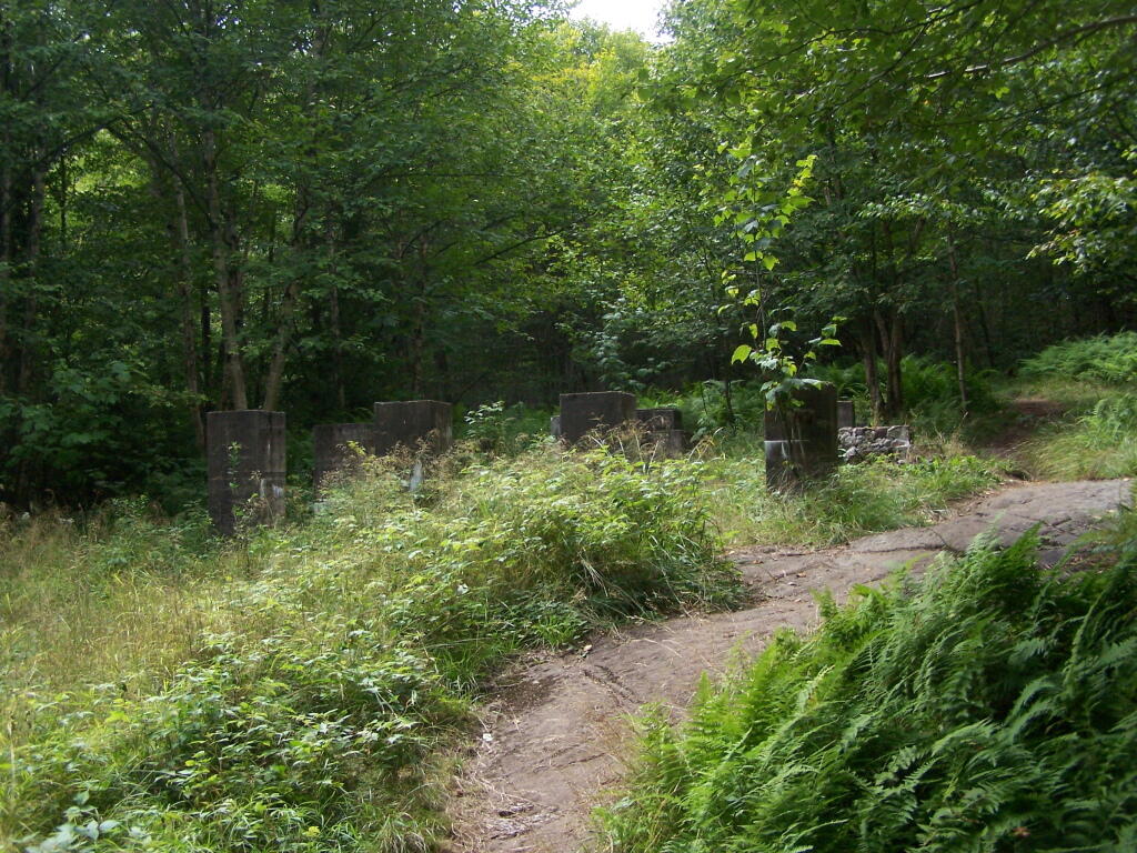
Observers Cabin Ruins. The cabin the fire warden lived in years ago, is not located on top of Owl’s Head, but below it on the shoulder. It’s a 1/4 mile hike to the top, and you accent about 200 more feet, up the pointly little head. The cabin was probably located here, so the warden could meet visitors, and escort them to the top.

Observers Cabin Ruins

Well Worn Trail. Part of the trail is well worn, and is on open rock face. The good news however is with the lush tree cover, you don’t have to worry about acrophobia up here.

Well Worn Trail

Reaching the Tower. You can’t see the fire tower until your almost on top of it, due to the heavy trees that surround the summit of the mountain, except for the bald portion where the tower is located, open to views to the south and east.

North Creek Falls

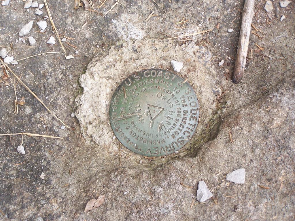
Survey Marker. It says it was placed in 1942 by USGS. It’s right below the fire tower proper.

Survey Marker

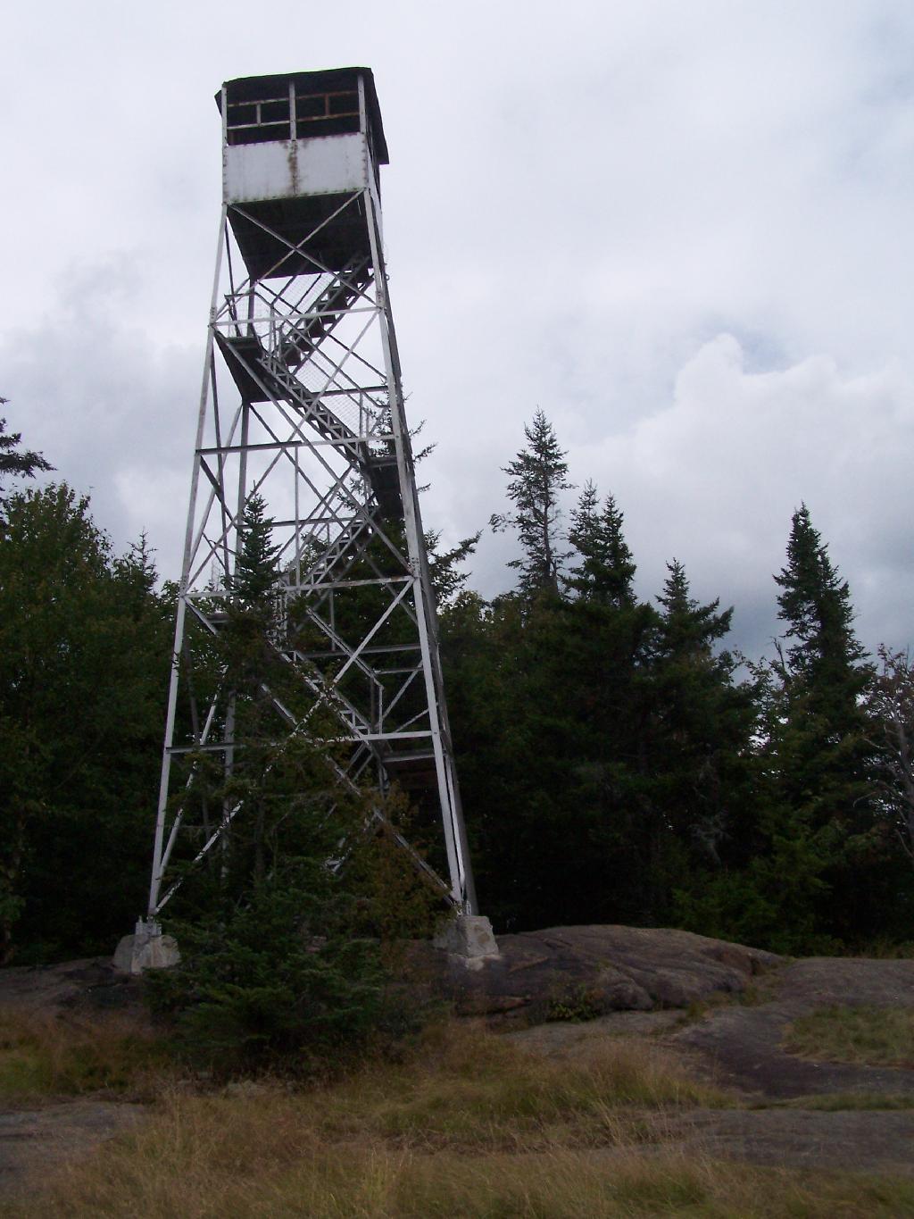
Fire Tower. The fire tower is a 30 foot LS 45 Aermotor tower, pretty typical for NY State. It’s one of the short little towers, like also seen on Rondaxe Mountain in Eagle Bay.

Fire Tower

Forked Lake. This is looking south from the summit towards Forked Lake Campground and possibly Racquette Lake. The mountain in the distance is Wakely Mountain, one of the other fire towers originally used to pin-point fires in the Adirondacks (it takes two towers to locate a fire through triangulation).

Forked Lake

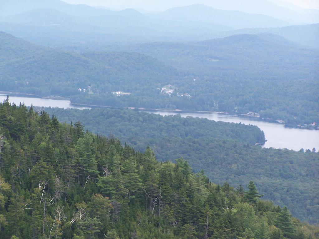
Long Lake. This is another picture of Long Lake, a little bit farther north, with the shoulder/col of Owls Head visible in the foreground.

Long Lake

North. In the distance is Saranac Lake and Lake Placid, with Whiteface just beyond it. Not the clearest or nicest of days, but still visable. In the foreground is the col/shoulder of Owls Head.

North

Blue Mountain. Blue Mountain is another fire tower / mountain that is visible from Owls Head. Located about 10 miles away, in the foreground are Minnow Pond and Mud Pond.

Blue Mountain

Sargent Ponds Area & Timberland. This portion north of NY 28 Corridor and Fulton Chain of Lakes is relatively flat, wild, and many portions privately owned as timberland.

Sargent Ponds Area & Timberland

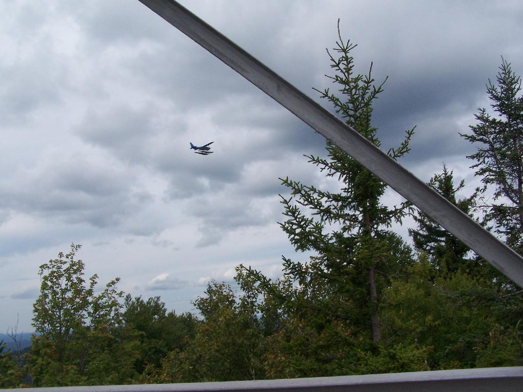
Float Plane. Owls Head is not the quietest mountain out there. Throughout the day, tourist float planes for hire, fly on and off Long Lake, just to north of mountain. They fly quiet low, as they are making the decent back to Long Lake.

Float Plane

Long Lake Village. While hazy today, you can see village of Long Lake quite well from the tower. It’s always crazy there, and I try to avoid towns whenever I’m in the Adirondacks.

Long Lake Village

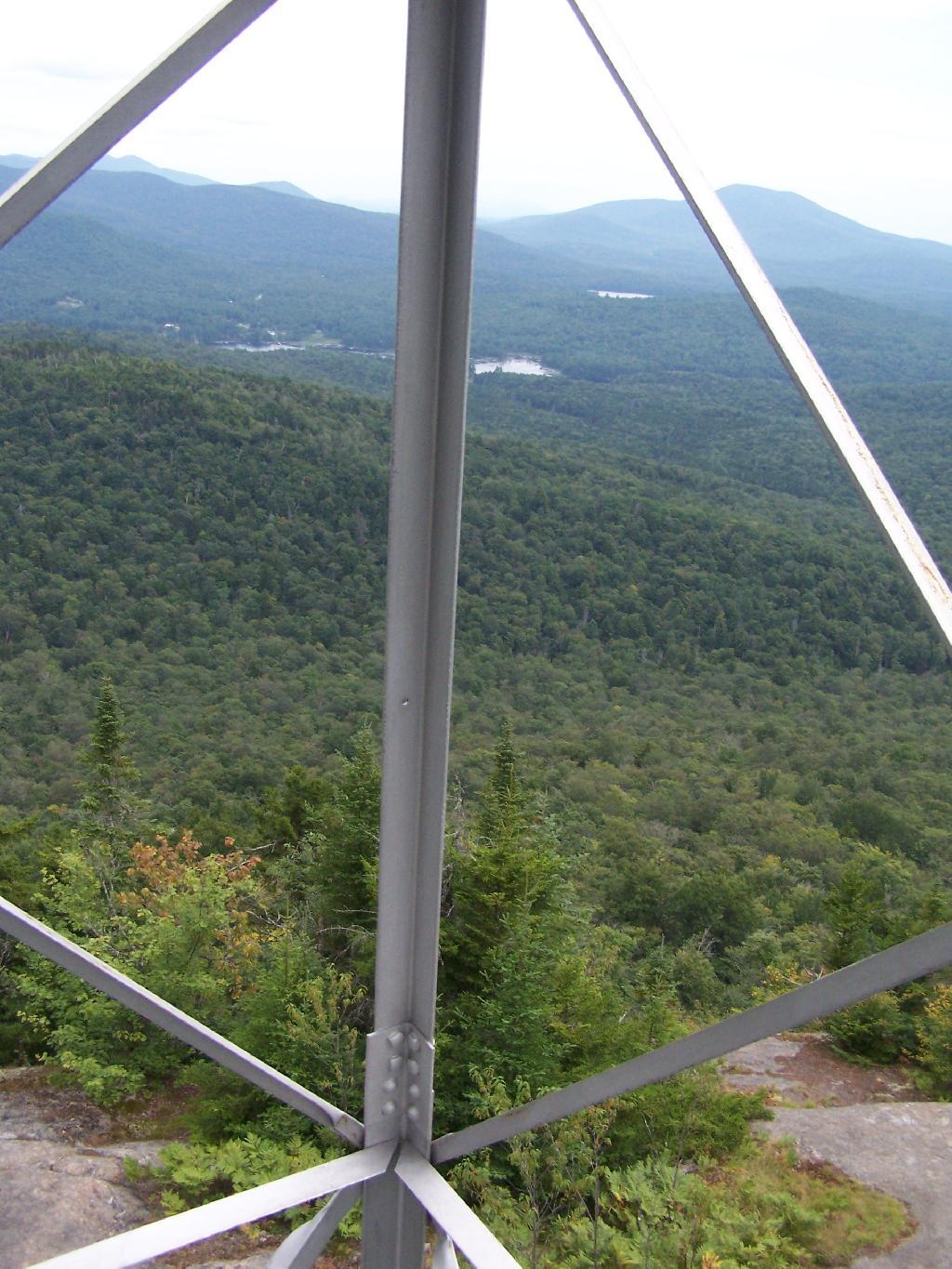
Fire Tower Corner. I always like pictures of the angles and construction of the fire tower. While common after climbing so many, fire towers have a lot of character in their structural steel.

Fire Tower Corner

Tower Cabin Closed. It’s unfortunate but the tower’s cabin on this tower is closed, as it’s used for communications equipment.

Tower Cabin Closed

Sitting on Mountain. Just sitting back and looking south from the open rock face a top Owls Head.

Sitting on Mountain

Old Telephone Poll. Descending the trail off Owls Head, I saw several of the old telephone poles, heading up to the former Ranger’s cabin. Some have been cut down, and used to control run-off on the trail, but others still remain.

Dexter Lake

Here is a map of the hike.


View Owls Head in a larger map

Rocky Mountain (Inlet)

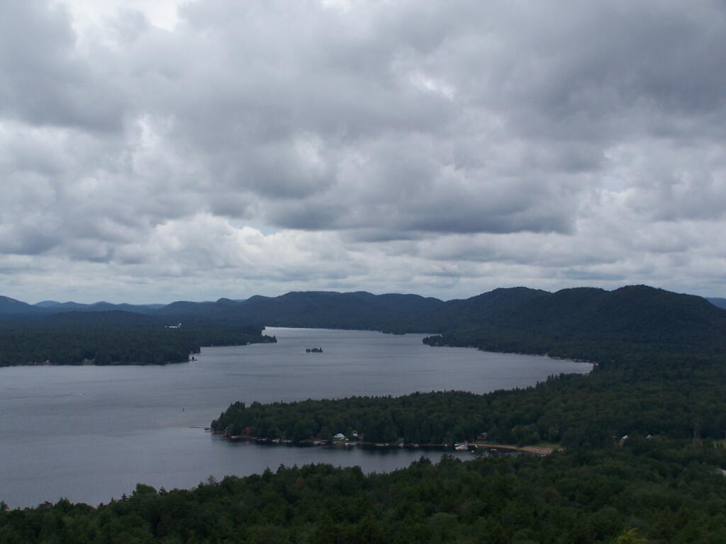
Near Inlet, NY there is a small ledge above Sixth Lake, that is a popular short hike with views of Sixth Lake and surrounding lands. The views aren’t as good as Rondaxe/Bald Mountain, but still are an interesting, half hour hike.

Foot Trail

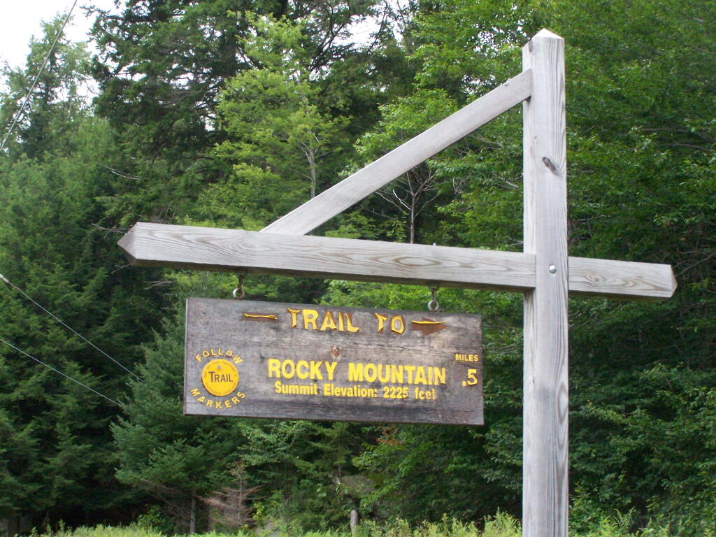
Rocky Mountain Trailhead Sign. Which is great they tell us the elevation of the mountain, but what is the elevation of the parking area? While I know the hike is only an ascent of 400 feet, why couldn’t they just tell us that fact? Silly DEC!

Rocky Mountain Trailhead Sign

The Rocky Mountain Trail while short, is fairly steep, with a few places being almost a scramble.

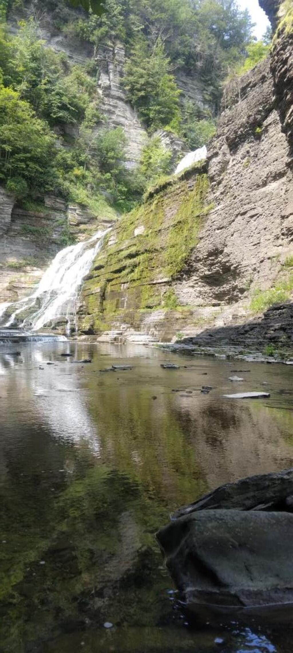
Below Lucifer Falls in the forbidden zone ?

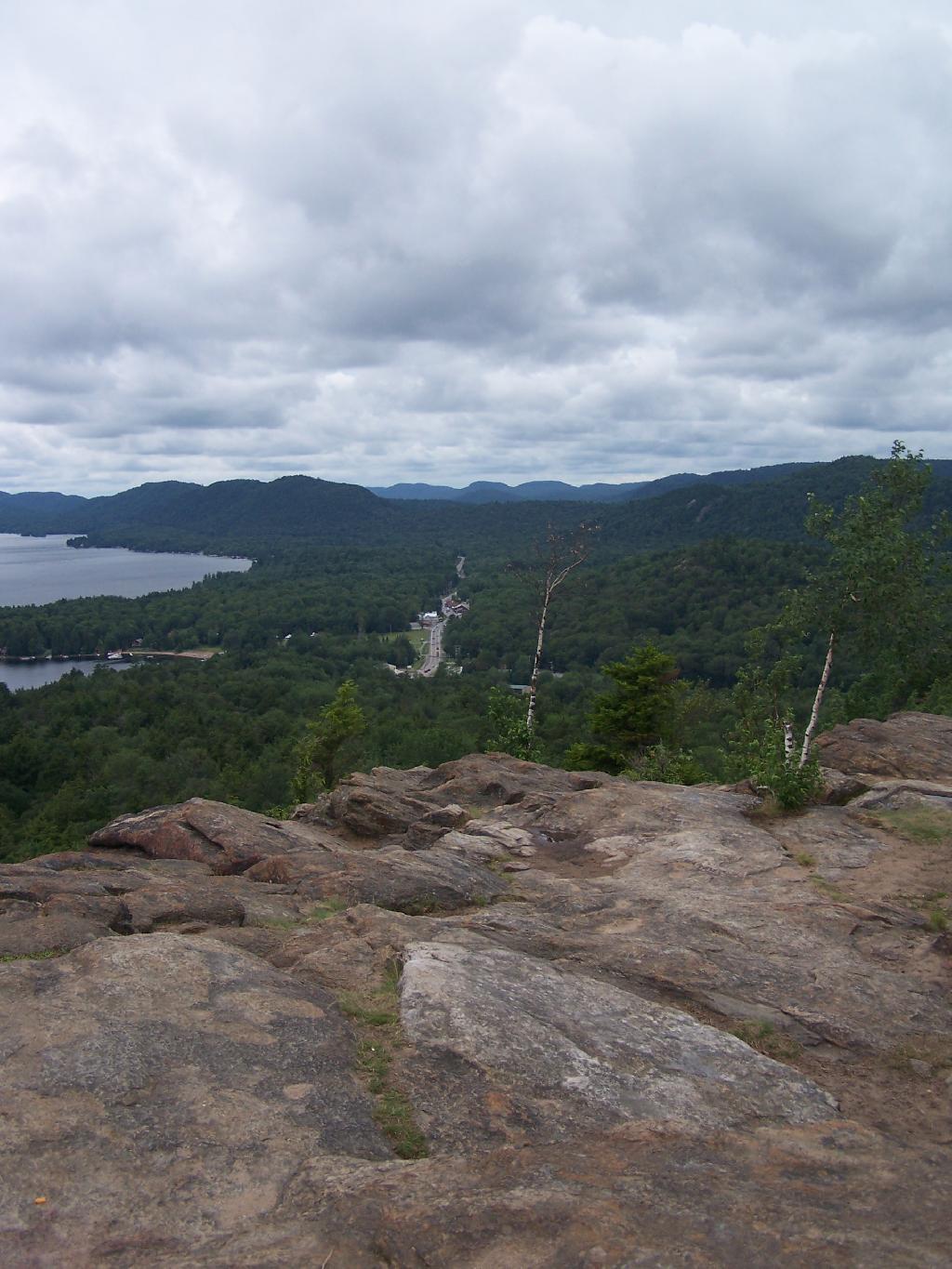
The views off Rocky Mountain are somewhat interesting, but not spectacular as those from Rondaxe just a little ways down the road. Forth Lake is the closest lake, and the one you get the best view from her.

Off Rocky Mountain

Fourth Lake

You have many good views of NY 28, such as this one widing down southernly toward Eagle Bay.

NY 28 South Toward Eagle Bay

A top Rocky, you can see how this mountain got it’s name.

A Top Rocky

The ridges in this part of the Adirondacks, remind me a little bit farther south around Good Luck Cliffs and NY 10.

Westernly Ridge

Here is a map of the hike.


View Rocky Inlet Map in a larger map

Snowshoeing at Grafton Lakes

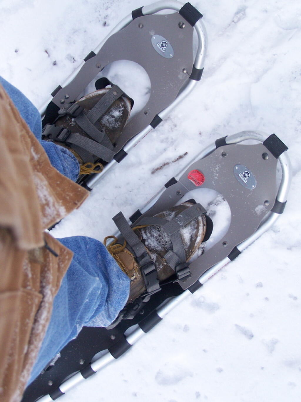
Last Saturday I went out snowshoeing at Grafton Lakes State Park. I wasn’t planning on going out, until I realized how truly nice it was outside. I quickly tossed my snowshoes in the pickup, packed up my pack, and off I went.

Snow Shoes

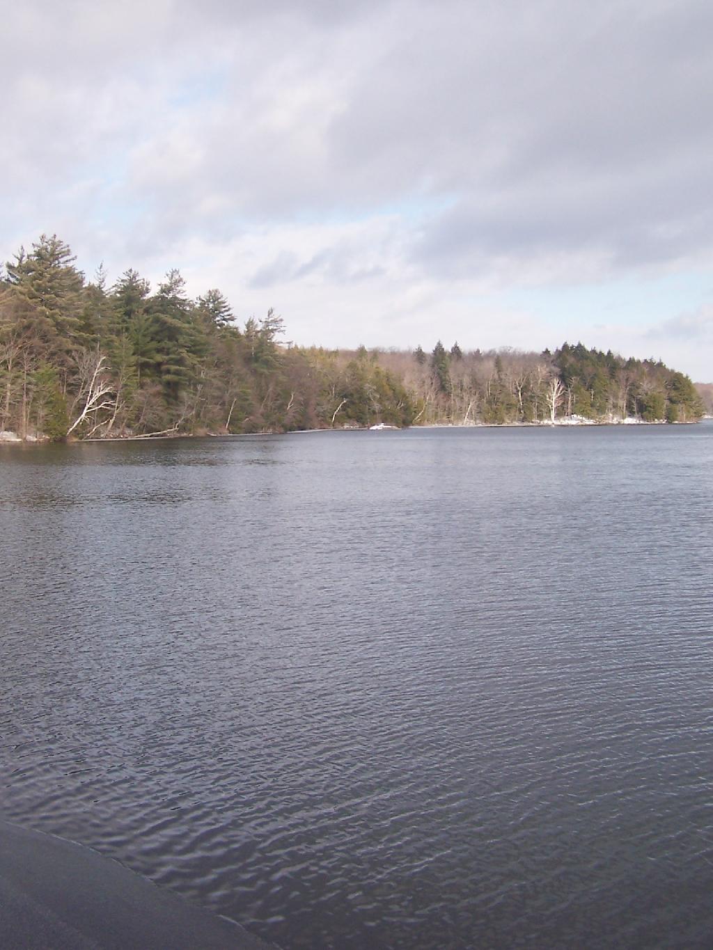
I drove out along Domain Road, past the winter entrance to the Grafton Lakes Park, and parked down along Second Pond. I didn’t realize that snowshoers/skiers could go through the winter entrance, and all the way to the beach on Long Pond. Instead, I snowshowed out along Second Lake to Long Pond. As you can see, Long Pond was not frozen.

 Shore of Long Lake

I decided to go on the trail around Long Pond. While I’ve been around Long Pond in a canoe and kyack in the summer, I’ve never been all the way around the trail in winter.

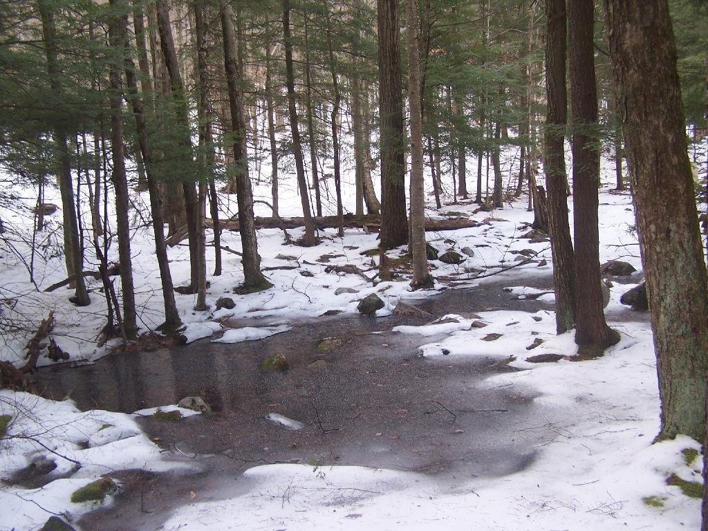
Several sections of trail would have been swampy had it been warmer. It instead was ice, in most portions thick enough, that the snowshoes crossed it without cracking through. The trail along Long Pond probably is not very good for hiking on wet times.

Icy Patch

The trail around Long Pond is signed with “More Difficult”. It is amusing to see the trail signed “More Difficult”, especially after all of the High Peaks and other mountains I’ve climbed in the Catskills and beyond. This trail is almost completely flat, bar a few rocks and roots sticking up and a few very small hills.

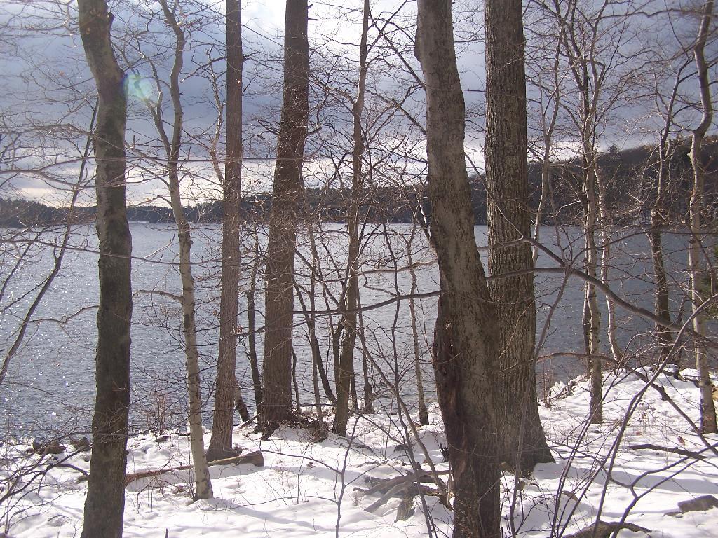
The far end of the lake looking due south towards the swimming beach. You can’t actually see the beach from here, because the lake turns slightly to the west from here.

Far End of Long Pond

After going around Long Pond, I headed along the Second Lake. This lake was frozen unlike the other pond. It was a bit too thin to dare cut across it.

Percent of Albany County Homeowners Who Moved in Before 1990

Here is a map of the snowshoe hike in blue.


View Hikes of 2009 in a larger map

Below is a list of lean-tos, campsites, parking areas, and other assets along the Northville – Placid Trail πŸ•οΈ

Link to anΒ  Interactive Map of the Northville Placid Trail.

Type Name Description Coordinates
Hand Launch Ceder River Flow Boat Ramp Hand Carry Launch, Ramp 43.725826369700904, -74.47289916126694
Lean-To Beaver Pond (Aka Cedar Lakes Lean-To #2) Β  43.625969396804386, -74.54927150370021
Lean-To Carry Lean-To Β  43.67874488347091, -74.49549821879448
Lean-To Catlin Bay #1 Lean-To Β  43.99801269269887, -74.39278456108421
Lean-To Cedar Lakes #1 Lean-To Β  43.628125665037935, -74.54047323992656
Lean-To Cold River #2 Lean-To Β  44.14251664317184, -74.13035824291548
Lean-To Cold River #3 Lean-To Β  44.091459278051204, -74.25764175084498
Lean-To Cold River #4 Lean-To Β  44.09139025333258, -74.25573480252505
Lean-To Cold River Lean-To #1 Lean-To Β  44.14272737628489, -74.12984021065587
Lean-To Duck Hole #1 Lean-To Β  44.14162687400988, -74.10693734676616
Lean-To Duck Hole #2 Lean-To Β  44.14167686466829, -74.10654354672256
Lean-To Hamilton Lake Stream #1 Lean-To Β  43.39741359517532, -74.45529759002217
Lean-To Hidden Cove Lean-To Β  44.00265528819394, -74.38648026325164
Lean-To Kelly Point #1 Lean-To Β  44.02880023617087, -74.36730798599064
Lean-To Kelly Point #2 Lean-To Β  44.02870256717196, -74.36713034867948
Lean-To Moose Pond Lean-To Β  44.182843382402666, -74.07364102375995
Lean-To Mud Lake Lean-To Β  43.342671073157994, -74.45629078563864
Lean-To O’neill Flow Lean-To Β  43.875596840936154, -74.36642623697053
Lean-To Ouluska Pass Brook Lean-To Β  44.120221281603584, -74.18744717390932
Lean-To Plumley Point #2 Lean-To Β  44.06559891610762, -74.32761224546002
Lean-To Rodney Point #1 Lean-To Β  44.04140938489936, -74.35014909639557
Lean-To Rodney Point #2 Lean-To Β  44.042976745412616, -74.34933464753136
Lean-To Seward Lean-To Β  44.106244137686204, -74.2091536427719
Lean-To Silver Lake Lean-To Β  43.29193545679836, -74.4237351676776
Lean-To South Lake Lean-To Β  43.58724480971, -74.62157883837274
Lean-To Spruce Lake #1 Lean-To Β  43.52728411257782, -74.6099246975027
Lean-To Spruce Lake #2 Lean-To Β  43.53463062983387, -74.60808580306896
Lean-To Spruce Lake #3 Lean-To Β  43.53712972792447, -74.60820962802477
Lean-To Stephens Pond Lean-To Β  43.818673668554965, -74.42052487172707
Lean-To Tirrel Pond North Lean-To Β  43.887344477557306, -74.37880062606054
Lean-To West Canada Creek Lean-To Β  43.58698761405157, -74.61399797100106
Lean-To West Lake #1 Lean-To Β  43.59316222884976, -74.62688668431306
Lean-To West Stony Creek Lean-To Β  43.22474428954461, -74.26933345717664
Paved Parking Lot Lake Durant Northville Placid Trail Parking Lot Paved, 12 Vehicle Capacity 43.84219550506574, -74.3862742856788
Paved Parking Lot Northville Lake Placid Trail Parking Lot Paved, Good Condition 43.84213270187873, -74.38656792328511
Primitive Tent Site Canary Pond Campsite Β  43.30513256312245, -74.4472062440692
Primitive Tent Site Cedar Lake Dam 1 Β  43.62894580965635, -74.53639939387939
Primitive Tent Site Cedar Lake Dam Tentsite Β  43.62937624507422, -74.53679785644344
Primitive Tent Site Cedar River Flow Tentsite Β  43.70292480315104, -74.48713041165333
Primitive Tent Site Fall Stream Tentsites Β  43.49661052800474, -74.53713112743992
Primitive Tent Site Jessup River Tentsites Β  43.51246207852797, -74.57229710138834
Primitive Tent Site Kelly Point Tentsites Β  44.02910364406153, -74.36670207204214
Primitive Tent Site Moose Pond Tentsites Β  44.18274441156179, -74.07408240028583
Primitive Tent Site Moose River Plains Campsite 01 Live 43.72667672123972, -74.47410026642402
Primitive Tent Site Moose River Plains Campsite 02 Live 43.72665150100841, -74.47331107300782
Primitive Tent Site Moose River Plains Campsite 03 Live 43.725959512295866, -74.47389996564202
Primitive Tent Site Moose River Plains Campsite 04 Live 43.726067692208126, -74.47423264719026
Primitive Tent Site Moose River Plains Campsite 05 Live 43.725563790898704, -74.47417512282912
Primitive Tent Site Moose River Plains Campsite 06 Live 43.72522313374867, -74.47458303719159
Primitive Tent Site Mud Lake Tentsites Β  43.59647433847274, -74.61354076182431
Primitive Tent Site O’neill Flow Tentsite Β  43.87567135918534, -74.3666467203306
Primitive Tent Site Rock Lake Campsite Β  43.265591839994535, -74.41543516012669
Primitive Tent Site Salmon River Tentsites Β  43.907925071619914, -74.38530801916977
Primitive Tent Site Shattuck Clearing Tentsites Β  44.08679657756681, -74.26368397541134
Primitive Tent Site Silver Lake Tent Site Β  43.29112770008321, -74.4240469986026
Primitive Tent Site Spruce Lake Tentsite Β  43.53695545329776, -74.60818912022354
Primitive Tent Site Tirrell Pond North Tentsites Β  43.88594343639596, -74.37834897628142
Primitive Tent Site Trailside Campsite Β  43.2716741112023, -74.43107546264162
Primitive Tent Site Wanika Falls Tentsites Β  44.19944690357389, -74.05663862305364
Primitive Tent Site West Lake Former Caretaker Clearing Tentsites Β  43.59389874347195, -74.62560220247346
Primitive Tent Site Whitehouse Campsite Β  43.373430193527696, -74.43578942968477
Primitive Tent Site Whitehouse Campsite Β  43.37406302094423, -74.43516794694158
Primitive Tent Site Woods Lake Campsite #2 Fire Pit, Water Front Campsite 43.25071034607129, -74.31177480398298
Primitive Tent Site Woods Lake Campsite #3 Fire Ring, Water Front Tentsite, Scenic View 43.250888826581715, -74.31104030228295
Primitive Tent Site Woods Lake Campsite #4 Fire Place, Water Front Campsite, Nice View 43.251811433787196, -74.3092782205918
Unpaved Parking Lot Benson Road Parking Area 8 Vehicle Capacity 43.24745928673895, -74.31187044250609
Unpaved Parking Lot Chubb River Bridge Β  44.2628824981147, -74.01364844250504
Unpaved Parking Lot Moose River Recrieation Area Northville-Placid And Cedar River Trails 43.726457025366315, -74.47386984656715
Unpaved Parking Lot Norhtville Placid Parking-Haskells Rd Β  43.45841038153893, -74.52201705350714
Unpaved Parking Lot Northville Placid Trail Parking Area 6 Car Interior Parking Area 43.21330828950083, -74.2083824784703
Unpaved Parking Lot Northville Placid Trail Route 28n Parking Lot Β  43.97584466308438, -74.39296138679799
Unpaved Parking Lot Tarbell Road Shoulder Parking Lot Β  43.984346733793245, -74.39813014848872
Unpaved Parking Lot Wakely Dam Β  43.72640808237045, -74.47425964611213
Unpaved Parking Lot Wakely Mountain Trailhead Parking Lot 1250 Sq Feet 43.732197733217824, -74.47253968128065
Unpaved Parking Lot Wakely Pond Accessible Fishing Dock Β  43.737643556916666, -74.46542853470272
Unpaved Parking Lot Wakely Pond Accessible Launch Β  43.738042554833534, -74.46399313053813

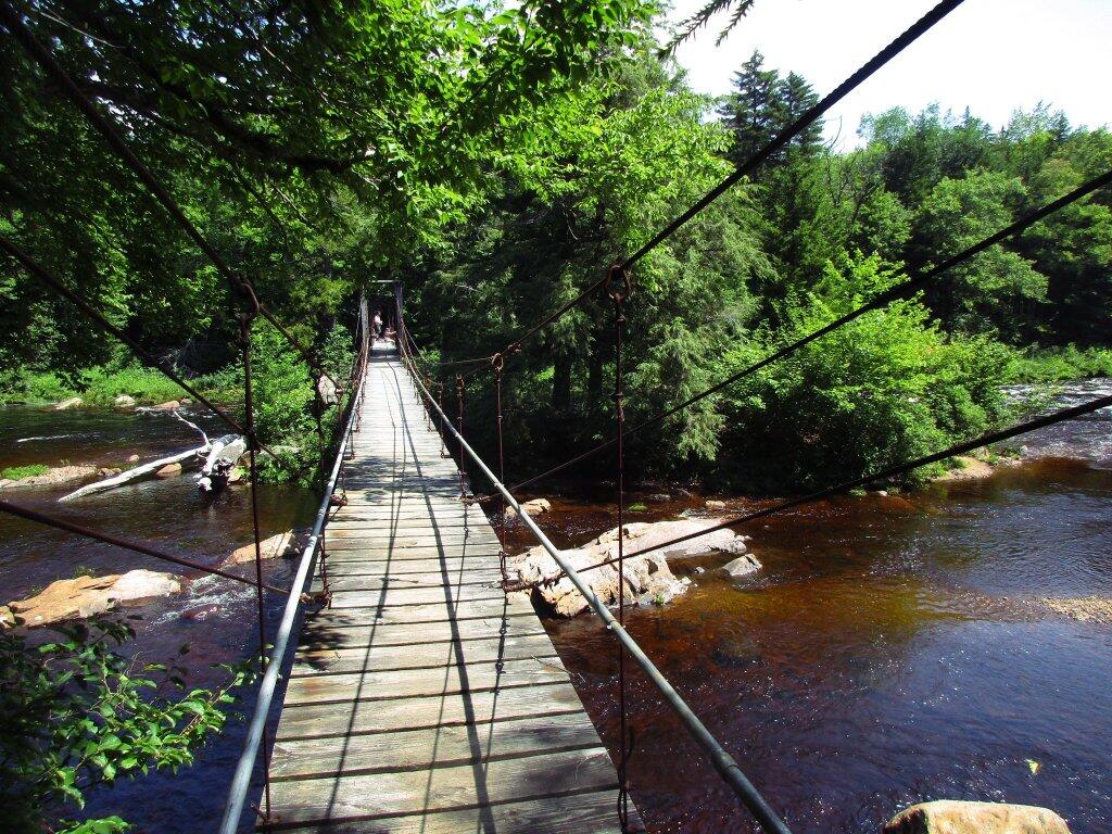
 Whitehouse Suspension Bridge