Search Results for: photo photo 2013 11 16 16 45 53

April 26, 2017 – Next Sixteen Weeks

We are now eight weeks out from the start of summer — the longest day of the year. The warmest days of the year don’t happen until mid-July on average, so that’s about 12 weeks out. And in 16 weeks, we will be back into County Fair Season and the somewhat earlier evenings of August, as we start to head back towards winter. But don’t worry, that’s a long ways off.

Week Date Dawn Sun-
rise
Sun-
set
Dusk Day Avg High Avg Low Record Hi Record Low
0 April 26 5:24 am 5:55 am 7:50 pm 8:21 pm 13:55 63 41 90 (1990) 24 (1972)
1 May 3 5:14 am 5:45 am 7:58 pm 8:29 pm 14:12 66 43 89 (2001) 29 (1966)
2 May 10 5:05 am 5:37 am 8:06 pm 8:38 pm 14:29 68 45 92 (1970) 28 (1958)
3 May 17 4:57 am 5:30 am 8:13 pm 8:46 pm 14:43 70 47 89 (1977) 30 (1959)
4 May 24 4:50 am 5:24 am 8:20 pm 8:53 pm 14:56 72 50 92 (1964) 29 (1963)
5 May 31 4:46 am 5:20 am 8:26 pm 9:00 pm 15:06 74 52 92 (2013) 34 (1961)
6 June 7 4:43 am 5:17 am 8:31 pm 9:05 pm 15:13 76 54 95 (1999) 37 (1958)
7 June 14 4:42 am 5:16 am 8:34 pm 9:09 pm 15:17 78 56 96 (1892) 39 (1970)
8 June 21 4:42 am 5:17 am 8:36 pm 9:11 pm 15:19 79 58 97 (1938) 41 (1970)
9 June 28 4:45 am 5:20 am 8:37 pm 9:12 pm 15:16 81 60 99 (1901) 43 (1970)
10 July 5 4:50 am 5:24 am 8:35 pm 9:10 pm 15:11 82 61 99 (1919) 44 (1982)
11 July 12 4:55 am 5:29 am 8:32 pm 9:06 pm 15:03 82 62 96 (1935) 44 (1978)
12 July 19 5:02 am 5:35 am 8:27 pm 9:01 pm 14:52 83 62 97 (1904) 47 (1875)
13 July 26 5:09 am 5:42 am 8:21 pm 8:53 pm 14:39 83 62 96 (1963) 46 (1976)
14 August 2 5:17 am 5:49 am 8:13 pm 8:45 pm 14:24 82 61 97 (1975) 45 (1976)
15 August 9 5:26 am 5:56 am 8:04 pm 8:35 pm 14:07 82 61 96 (2001) 46 (1989)
16 August 16 5:34 am 6:04 am 7:54 pm 8:24 pm 13:50 81 60 97 (1936) 41 (1972)

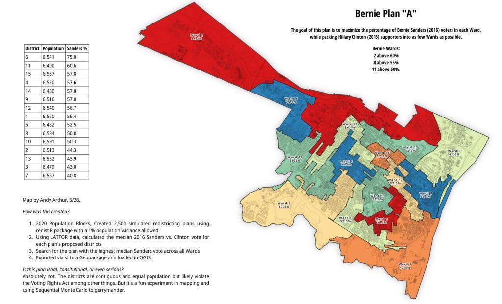
Bernie Sanders Plan A

March 8, 2017 – Next Sixteen Weeks

Now that we are well into the second week of the month of March, below zero weather is mostly a memory. It sometimes get cold in March, but not that cold, and indeed both the temperatures and day length are rapidly increasing — 3 degrees and 20 minutes a week. In three short weeks, the average temperature will reach 50 degrees, and in five weeks, dusk won’t be until after 8 PM. By April 3rd, the low temperature in Albany is above freezing, although we can still get a decent frost in Albany until May.

Week Date Dawn Sun-
rise
Sun-
set
Dusk Day Avg High Avg Low Record Hi Record Low
0 March 8 5:49 am 6:17 am 5:54 pm 6:22 pm 11:37 41 23 68 (2012) -2 (1989)
1 March 15 6:37 am 7:05 am 7:02 pm 7:30 pm 11:57 44 25 72 (1989) 1 (1993)
2 March 22 6:24 am 6:53 am 7:10 pm 7:38 pm 12:17 47 28 81 (2012) 2 (1875)
3 March 29 6:12 am 6:40 am 7:18 pm 7:47 pm 12:38 50 31 85 (1946) 0 (1923)
4 April 5 6:00 am 6:28 am 7:26 pm 7:55 pm 12:58 54 33 82 (1928) 14 (2016)
5 April 12 5:47 am 6:17 am 7:34 pm 8:03 pm 13:17 57 36 84 (1977) 13 (1874)
6 April 19 5:36 am 6:05 am 7:42 pm 8:12 pm 13:37 60 39 92 (1976) 18 (1875)
7 April 26 5:24 am 5:55 am 7:50 pm 8:21 pm 13:55 63 41 90 (1990) 24 (1972)
8 May 3 5:14 am 5:45 am 7:58 pm 8:29 pm 14:12 66 43 89 (2001) 29 (1966)
9 May 10 5:05 am 5:37 am 8:06 pm 8:38 pm 14:29 68 45 92 (1970) 28 (1958)
10 May 17 4:57 am 5:30 am 8:13 pm 8:46 pm 14:43 70 47 89 (1977) 30 (1959)
11 May 24 4:50 am 5:24 am 8:20 pm 8:53 pm 14:56 72 50 92 (1964) 29 (1963)
12 May 31 4:46 am 5:20 am 8:26 pm 9:00 pm 15:06 74 52 92 (2013) 34 (1961)
13 June 7 4:43 am 5:17 am 8:31 pm 9:05 pm 15:13 76 54 95 (1999) 37 (1958)
14 June 14 4:42 am 5:16 am 8:34 pm 9:09 pm 15:17 78 56 96 (1892) 39 (1970)
15 June 21 4:42 am 5:17 am 8:36 pm 9:11 pm 15:19 79 58 97 (1938) 41 (1970)
16 June 28 4:45 am 5:20 am 8:37 pm 9:12 pm 15:16 81 60 99 (1901) 43 (1970)

Yellow thru Blue

February 15, 2017 – Next Sixteen Weeks

Sixteen weeks from now will be June. There is hope for warmer weather and it’s in a foreseeable future. Already the sunsets have gotten much longer, and starting next week, we will be seeing sizable increases in the average high every week. Five weeks to calendar spring, in which the average high is 47 degrees in Albany.

In as few as four weeks, the weather might be nice enough to go to the park in the evening, and heck I’ve been truck camping in early March, although that’s usually something reserved for the warmest winters, not necessarily this winter.

Week Date Dawn Sun-
rise
Sun-
set
Dusk Day Avg High Avg Low Record Hi Record Low
0 February 15 6:21 am 6:50 am 5:27 pm 5:56 pm 10:37 35 17 55 (2006) -22 (1943)
1 February 22 6:11 am 6:39 am 5:36 pm 6:05 pm 10:57 36 19 68 (1997) -8 (1963)
2 March 1 6:00 am 6:28 am 5:45 pm 6:13 pm 11:17 39 21 61 (1991) -9 (1948)
3 March 8 5:48 am 6:16 am 5:54 pm 6:22 pm 11:37 41 23 68 (2012) -2 (1989)
4 March 15 6:36 am 7:04 am 7:02 pm 7:30 pm 11:57 44 25 72 (1989) 1 (1993)
5 March 22 6:24 am 6:52 am 7:10 pm 7:38 pm 12:17 47 28 81 (2012) 2 (1875)
6 March 29 6:12 am 6:40 am 7:18 pm 7:46 pm 12:38 50 31 85 (1946) 0 (1923)
7 April 5 5:59 am 6:28 am 7:26 pm 7:55 pm 12:58 54 33 82 (1928) 14 (2016)
8 April 12 5:47 am 6:16 am 7:34 pm 8:03 pm 13:17 57 36 84 (1977) 13 (1874)
9 April 19 5:35 am 6:05 am 7:42 pm 8:12 pm 13:37 60 39 92 (1976) 18 (1875)
10 April 26 5:24 am 5:54 am 7:50 pm 8:20 pm 13:55 63 41 90 (1990) 24 (1972)
11 May 3 5:14 am 5:45 am 7:58 pm 8:29 pm 14:13 66 43 89 (2001) 29 (1966)
12 May 10 5:04 am 5:36 am 8:06 pm 8:37 pm 14:29 68 45 92 (1970) 28 (1958)
13 May 17 4:56 am 5:29 am 8:13 pm 8:46 pm 14:43 70 47 89 (1977) 30 (1959)
14 May 24 4:50 am 5:23 am 8:20 pm 8:53 pm 14:56 72 50 92 (1964) 29 (1963)
15 May 31 4:45 am 5:19 am 8:26 pm 9:00 pm 15:06 74 52 92 (2013) 34 (1961)
16 June 7 4:42 am 5:17 am 8:31 pm 9:05 pm 15:13 76 54 95 (1999) 37 (1958)

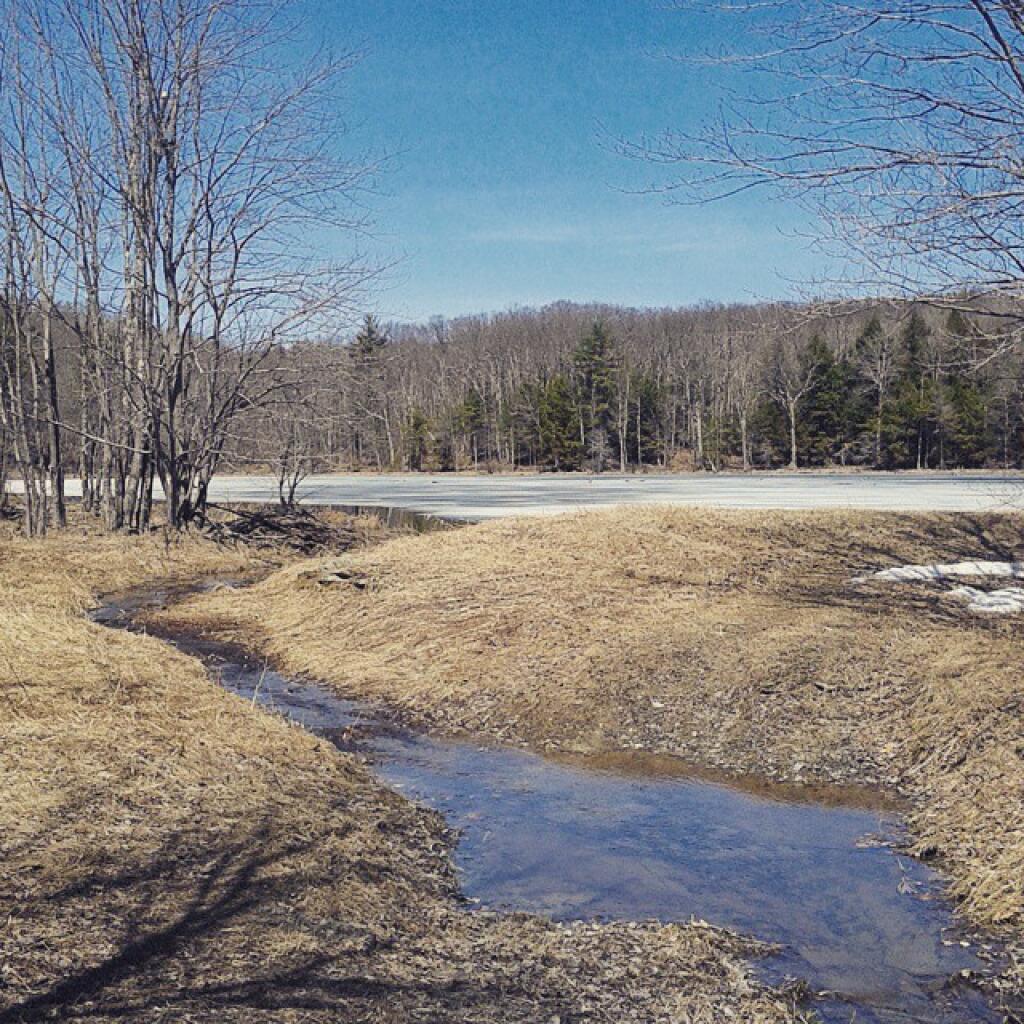
Thin skim of ice on the deeper ponds

Rising and setting times for the Sun – February and March 2013

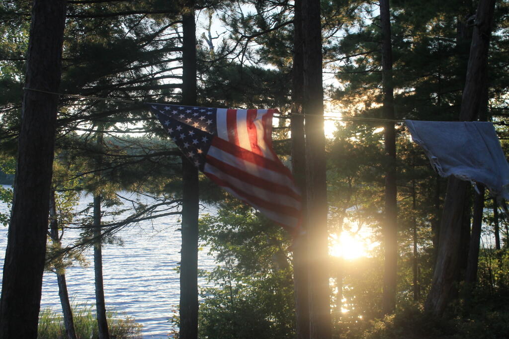
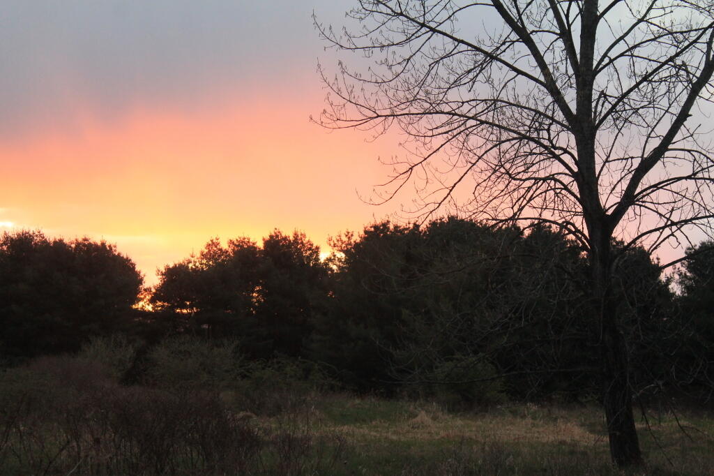
Sunset from Camp

The days are rapidly getting longer, with later sunsets at these table show.

February 2014

Length of day Solar noon
Date Sunrise Sunset This day Difference Time Altitude Distance
(million mi)
Feb 1, 2014 7:09 AM 5:09 PM 9h 59m 07s + 2m 21s 12:09 PM 30.4° 91.607
Feb 2, 2014 7:08 AM 5:10 PM 10h 01m 31s + 2m 23s 12:09 PM 30.7° 91.621
Feb 3, 2014 7:07 AM 5:11 PM 10h 03m 56s + 2m 25s 12:09 PM 31.0° 91.634
Feb 4, 2014 7:06 AM 5:13 PM 10h 06m 22s + 2m 26s 12:09 PM 31.3° 91.648
Feb 5, 2014 7:05 AM 5:14 PM 10h 08m 51s + 2m 28s 12:09 PM 31.6° 91.662
Feb 6, 2014 7:04 AM 5:15 PM 10h 11m 21s + 2m 29s 12:09 PM 31.9° 91.676
Feb 7, 2014 7:03 AM 5:16 PM 10h 13m 52s + 2m 31s 12:09 PM 32.2° 91.691
Feb 8, 2014 7:01 AM 5:18 PM 10h 16m 25s + 2m 32s 12:09 PM 32.5° 91.706
Feb 9, 2014 7:00 AM 5:19 PM 10h 18m 59s + 2m 34s 12:09 PM 32.8° 91.722
Feb 10, 2014 6:59 AM 5:20 PM 10h 21m 35s + 2m 35s 12:09 PM 33.1° 91.738
Feb 11, 2014 6:58 AM 5:22 PM 10h 24m 12s + 2m 36s 12:09 PM 33.5° 91.754
Feb 12, 2014 6:56 AM 5:23 PM 10h 26m 49s + 2m 37s 12:09 PM 33.8° 91.771
Feb 13, 2014 6:55 AM 5:24 PM 10h 29m 29s + 2m 39s 12:09 PM 34.1° 91.788
Feb 14, 2014 6:53 AM 5:26 PM 10h 32m 09s + 2m 40s 12:09 PM 34.5° 91.806
Feb 15, 2014 6:52 AM 5:27 PM 10h 34m 50s + 2m 41s 12:09 PM 34.8° 91.825
Feb 16, 2014 6:51 AM 5:28 PM 10h 37m 33s + 2m 42s 12:09 PM 35.2° 91.843
Feb 17, 2014 6:49 AM 5:30 PM 10h 40m 16s + 2m 43s 12:09 PM 35.5° 91.863
Feb 18, 2014 6:48 AM 5:31 PM 10h 43m 00s + 2m 44s 12:09 PM 35.9° 91.882
Feb 19, 2014 6:46 AM 5:32 PM 10h 45m 45s + 2m 44s 12:09 PM 36.2° 91.902
Feb 20, 2014 6:45 AM 5:33 PM 10h 48m 31s + 2m 45s 12:09 PM 36.6° 91.923
Feb 21, 2014 6:43 AM 5:35 PM 10h 51m 17s + 2m 46s 12:09 PM 36.9° 91.944
Feb 22, 2014 6:42 AM 5:36 PM 10h 54m 04s + 2m 47s 12:09 PM 37.3° 91.965
Feb 23, 2014 6:40 AM 5:37 PM 10h 56m 52s + 2m 47s 12:08 PM 37.7° 91.986
Feb 24, 2014 6:39 AM 5:38 PM 10h 59m 41s + 2m 48s 12:08 PM 38.0° 92.008
Feb 25, 2014 6:37 AM 5:40 PM 11h 02m 30s + 2m 49s 12:08 PM 38.4° 92.030
Feb 26, 2014 6:36 AM 5:41 PM 11h 05m 20s + 2m 49s 12:08 PM 38.8° 92.052
Feb 27, 2014 6:34 AM 5:42 PM 11h 08m 10s + 2m 50s 12:08 PM 39.2° 92.074
Feb 28, 2014 6:32 AM 5:43 PM 11h 11m 01s + 2m 50s 12:08 PM 39.5° 92.096

March 2014

Length of day Solar noon
Date Sunrise Sunset This day Difference Time Altitude Distance
(million mi)
Mar 1, 2014 6:31 AM 5:45 PM 11h 13m 52s + 2m 51s 12:07 PM 39.9° 92.119
Mar 2, 2014 6:29 AM 5:46 PM 11h 16m 44s + 2m 51s 12:07 PM 40.3° 92.142
Mar 3, 2014 6:28 AM 5:47 PM 11h 19m 36s + 2m 52s 12:07 PM 40.7° 92.164
Mar 4, 2014 6:26 AM 5:48 PM 11h 22m 28s + 2m 52s 12:07 PM 41.1° 92.187
Mar 5, 2014 6:24 AM 5:50 PM 11h 25m 21s + 2m 52s 12:07 PM 41.5° 92.210
Mar 6, 2014 6:23 AM 5:51 PM 11h 28m 14s + 2m 53s 12:06 PM 41.8° 92.233
Mar 7, 2014 6:21 AM 5:52 PM 11h 31m 07s + 2m 53s 12:06 PM 42.2° 92.256
Mar 8, 2014 6:19 AM 5:53 PM 11h 34m 01s + 2m 53s 12:06 PM 42.6° 92.280
Note: hours shift because clocks change forward 1 hour
Mar 9, 2014 7:18 AM 6:54 PM 11h 36m 55s + 2m 53s 1:06 PM 43.0° 92.304
Mar 10, 2014 7:16 AM 6:56 PM 11h 39m 49s + 2m 53s 1:05 PM 43.4° 92.327
Mar 11, 2014 7:14 AM 6:57 PM 11h 42m 43s + 2m 54s 1:05 PM 43.8° 92.351
Mar 12, 2014 7:12 AM 6:58 PM 11h 45m 37s + 2m 54s 1:05 PM 44.2° 92.376
Mar 13, 2014 7:11 AM 6:59 PM 11h 48m 31s + 2m 54s 1:05 PM 44.6° 92.400
Mar 14, 2014 7:09 AM 7:00 PM 11h 51m 26s + 2m 54s 1:04 PM 45.0° 92.425
Mar 15, 2014 7:07 AM 7:02 PM 11h 54m 20s + 2m 54s 1:04 PM 45.4° 92.450
Mar 16, 2014 7:05 AM 7:03 PM 11h 57m 15s + 2m 54s 1:04 PM 45.8° 92.476
Mar 17, 2014 7:04 AM 7:04 PM 12h 00m 10s + 2m 54s 1:03 PM 46.2° 92.501
Mar 18, 2014 7:02 AM 7:05 PM 12h 03m 04s + 2m 54s 1:03 PM 46.6° 92.527
Mar 19, 2014 7:00 AM 7:06 PM 12h 05m 59s + 2m 54s 1:03 PM 47.0° 92.554
Mar 20, 2014 6:58 AM 7:07 PM 12h 08m 54s + 2m 54s 1:03 PM 47.3° 92.580
Mar 21, 2014 6:57 AM 7:09 PM 12h 11m 48s + 2m 54s 1:02 PM 47.7° 92.606
Mar 22, 2014 6:55 AM 7:10 PM 12h 14m 43s + 2m 54s 1:02 PM 48.1° 92.633
Mar 23, 2014 6:53 AM 7:11 PM 12h 17m 38s + 2m 54s 1:02 PM 48.5° 92.660
Mar 24, 2014 6:51 AM 7:12 PM 12h 20m 32s + 2m 54s 1:01 PM 48.9° 92.687
Mar 25, 2014 6:50 AM 7:13 PM 12h 23m 26s + 2m 54s 1:01 PM 49.3° 92.714
Mar 26, 2014 6:48 AM 7:14 PM 12h 26m 21s + 2m 54s 1:01 PM 49.7° 92.741
Mar 27, 2014 6:46 AM 7:15 PM 12h 29m 15s + 2m 54s 1:00 PM 50.1° 92.768
Mar 28, 2014 6:44 AM 7:17 PM 12h 32m 09s + 2m 53s 1:00 PM 50.5° 92.795
Mar 29, 2014 6:43 AM 7:18 PM 12h 35m 02s + 2m 53s 1:00 PM 50.9° 92.821
Mar 30, 2014 6:41 AM 7:19 PM 12h 37m 56s + 2m 53s 1:00 PM 51.3° 92.848
Mar 31, 2014 6:39 AM 7:20 PM 12h 40m 49s + 2m 53s 12:59 PM 51.7° 92.875


To be sure, the days are getting longer, and will speed up the increase in daylight until the first day of calender spring in March.

DEIS on 2013 Amendments to the Adirondack Park State Land Master Plan

July 15, 2013

James E. Connolly, Deputy Director, Planning
Adirondack Park Agency
Post Office Box 99
1133 State Route 86
Ray Brook, NY 12977

Dear Mr. Connolly:

 RE:  DEIS on 2013 Amendments to the Adirondack Park State Land Master Plan

 The Draft Supplemental Environmental Impact Statement fails to provide all ‘reasonable alternatives’ in its review of possibilities, by failing to include the option of classifying the lands of Essex Chain Tract, Indian River Tract, OK Slip Tract, and Open Space Conservancy (OSC) Tracts as ‘Wild Forest’ in their entirety.  A reasonable person could conclude that providing such a ‘Wild Forest’ classification, as part of the review, is required under the analysis mandated by ECL 8-0109 (“reasonable alternatives under SERQA”) and the Executive Law 816 (“state land plan for Adirondacks”).

While Alternative 4A (“New Land as Wild Forest with a Wilderness Corridor Along the Hudson River”) comes close to a pure ‘Wild Forest’ option, I would strongly recommend that the agency consider creating an Alternative 4C, with a ‘Wild Forest’ option, and ultimately adopt the Alternative 4C, pure ‘Wild Forest’ option, to preserve access to existing roadways, as felt necessary and proper by the Department of Environmental Conservation.

A pure ‘Wild Forest’ option would continue to allow use many of the existing roadways to provide access to the interior of these lands that exists today, under private ownership to existing camps and facilities. Nobody is proposing the construction of new roads or expanded motor vehicle access to this area, indeed such a provision would be violative of Article XIV of the state’s constitution, which states, “…nor shall the timber thereon be sold, removed or destroyed.”
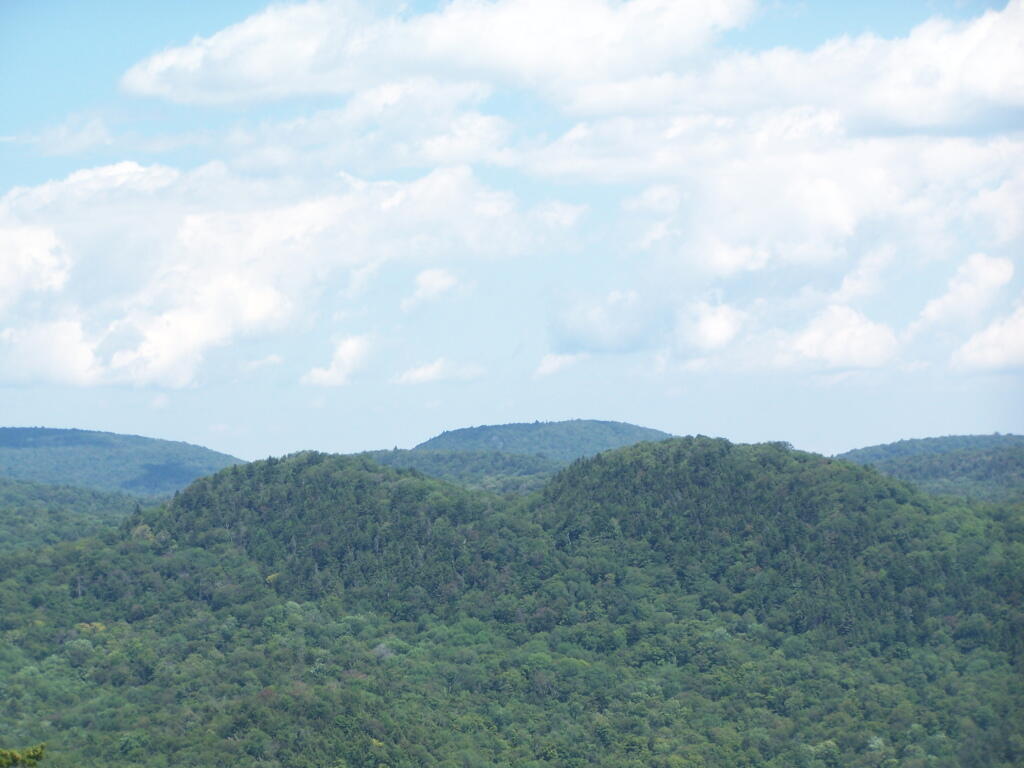
East

The unique provisions of the state’s constitution will prevent excessive development and use of these lands. In Association for Protection of Adirondacks v MacDonald (253 N.Y. 234, affg 228 App Div 73, 1930), it was decided that most cutting of trees in the forest preserve by the DEC was prohibited. A state-owned bob sleigh run was prohibited from being built in state forest preserve.

 “The Adirondack Park was to be preserved, not destroyed. Therefore, all things necessary were permitted, such as measures to prevent forest fires, the repairs to roads and proper inspection, or the erection and maintenance of proper facilities for the use by the public which did not call for the removal of the timber to any material degree. The Forest Preserve is preserved for the public; its benefits are for the people of the State as a whole.” (emphasis added)

No new facilities on these lands may be constructed that require the cutting of timber, beyond a “material degree” as defined in MacDonald and subsequent decision in Balsam Anglers Club v. DEC (153 Misc. 2d 606, 1991), which continued to hold that DEC could not cut any material amount of timber, although a small amount of brush removed to conduct a hiking a trail would be permissive.

Further restrictions on public motor vehicle use in ‘Wild Forest’ lands under 1935 opinion of Attorney General John J. Bennett, Jr., who stated it would be unlawful to create new public roads within forest preserve, without amending the state constitution. Mr. Bennett’s opinion permitted the DEC to create new “truck trails” for administrative use and forest-fire prevention, however if such truck trails were to be built, the public would be banned from use of them.

Therefore, Adirondack Park Agency (APA) should not be concerned or fearful about an expansion of motorized transportation in this areas, but should continue to allow existing access roads where deemed necessary and proper by the Department of Environmental Conservation (DEC).
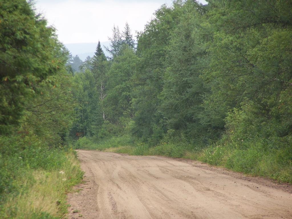
Sandy Plains

Moreover, the APA is not constrained, on their classification of these parcels. The controlling law is Executive Law 816, which simply requires the APA to create a plan, and for the DEC to follow it. The statue allows for the APA to amend their plan, at will, when acquiring new parcels or meet contemporary uses of land, as long as it is consistent with the state constitution’s prohibition on the removal of timber.

A ‘Wild Forest’ classification, with the protections provided under state constitution is what is needed for these lands. This would keep most of the existing interior roads open for low-speed, controlled motor vehicle travel, for access to the Hudson River, campsites, and the many ponds and trail heads up mountains. Let the DEC then decide which existing interior roads to convert to hiking trails, based on terrain and sensitive environmental areas.

Additionally, a ‘Wild Forest’ classification would keep existing interior roads open to snowmobiles in winter and ATV access in the summer and fall including hunting seasons. Again, exact routing of such corridors should be left to the DEC in their creation of the Unit Master Plan (UMP). Likewise, hiking trails should be designated in the UMP, and may be created either following existing routes, or new routes, under the authority granted by the court in Balsam Anglers Club.

To be clear, current precedence and practice allows roadside camping, with a small trailer or pickup truck with a camper top, is allowed in Wild Forest-area in designated areas. As such, I would call for an amendment to the APSLMP, as part of the plan to strike the road “tent” from the description of campsite, as designated under Wild Forest. All other provisions, including the ¼ mile separation should remain for campsites in Adirondack Park.

Units with existing, department-designed roadside campsites, and no prohibitions on small vehicular campers include the following Wild Forests: Aldrich Pond, Black River, Debar Mountain, Ferris Lake, Horsehoe Lake, Jessup River, Independence River, Moose River, Saranac Lake, Sargent Ponds, Taylor Pond, Vanderwhacker, and Wilcox Lake – all of largest wild forests. Roadside camping is popular activity on many back roads, and is not only allowed in many designated sites in New York State, but is common in National Forests in neighboring states, such as Pennsylvania and Vermont. The impact on existing ecosystems is minimal, as the land is already impacted by existing motor vehicle traffic traveling on these roads.

Finally, the Adirondack Park Agency should carefully review the resolution, “Resolution in Support of the Upper Hudson Recreational Hub Request for Maximum Access to Unclassified State Lands,” by the Adirondack Association of Village and Towns in making their classification decision for these lands. Setting out a dramatic vision for these lands, they would protect the existing wild forest character of these lands, while maximizing the public use of these lands, which were ultimately paid for with our taxpayer dollars.

Thank you for reviewing these comments. I look forward to reviewing the revised DEIS.

Sincerely,

Andy Arthur
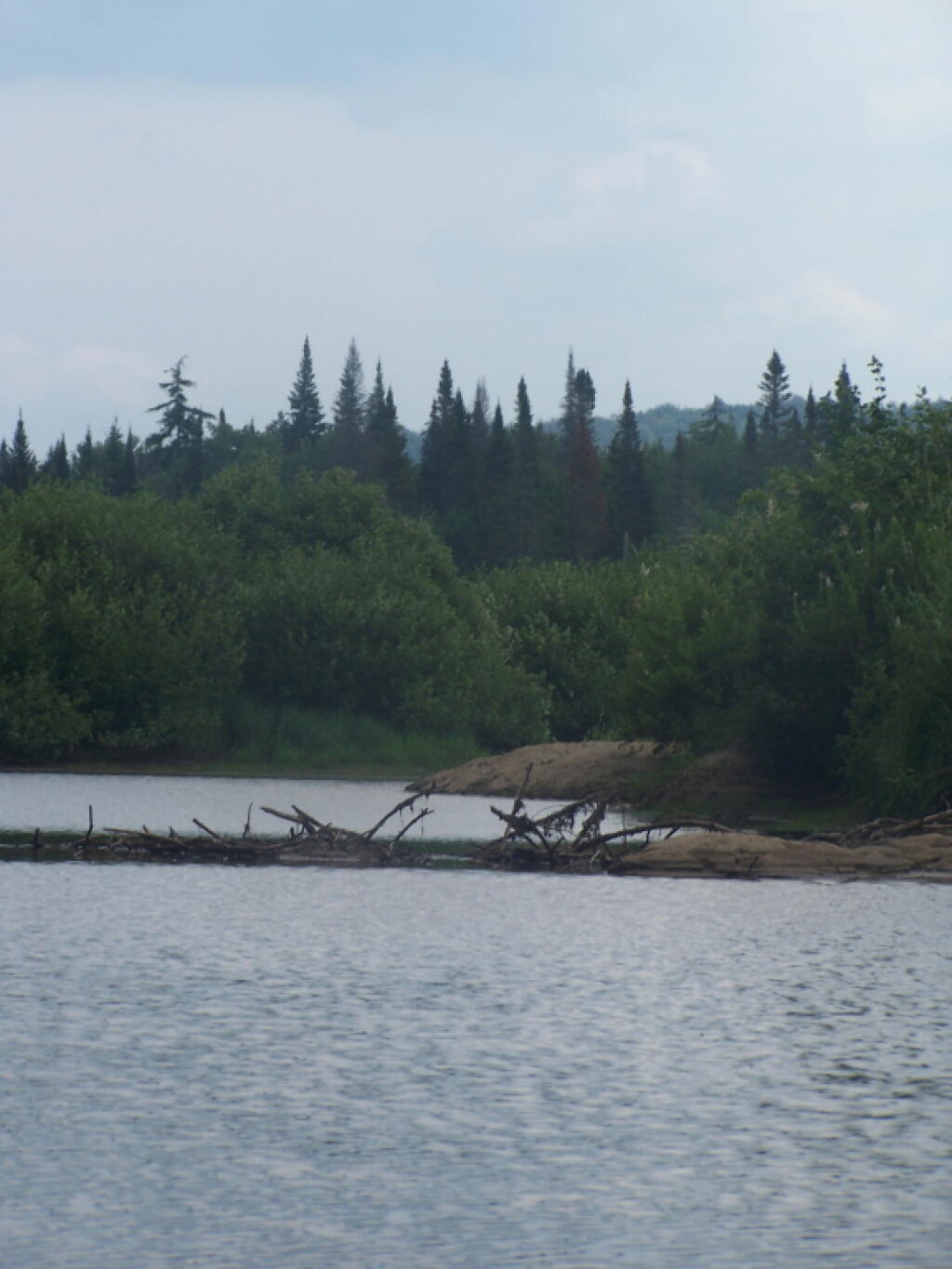
Beaver Dam


 Resolution in Support of the Upper Hudson Recreational Hub

Request for Maximum Access to Unclassified State Lands


Resolution Date: 3 June 2013 at the Membership Meeting of the Adirondack Association of Towns and Villages

Moved By: Supervisor Farber, seconded by Supervisor Monroe  CARRIED

WHEREAS, Governor Cuomo has announced the State’s acquisition of 69,000 acres of the former Finch Pruyn and other Nature Conservancy Lands; and

WHEREAS, Governor Cuomo has stated that this agreement will make the Adirondack Park one of the most sought after destinations for paddlers, hikers, hunters, sportspeople, and snowmobilers, and that opening these lands to public use and enjoyment for the first time in 150 years will provide extraordinary new outdoor recreational opportunities, increase the number of visitors to the North Country and generate additional tourism revenue; and

WHEREAS, the five Towns in the Adirondack Park most affected by this acquisition wish to realize the maximum benefit of increased tourism revenue; and

WHEREAS, the five Towns consisting of Indian Lake, Long Lake, Minerva, Newcomb, and North Hudson wish to work together to achieve the maximum economic benefit to the region from the increased tourism and have now formed the Upper Hudson Recreation Hub; and

WHEREAS, these tracts of land have an extensive network of maintained roads formerly used as logging and access roads; and

WHEREAS, the Upper Hudson Recreation Hub is in agreement that the only path to realize the maximum economic benefit of this land acquisition is to provide the utmost access to the public to the ponds, lakes, rivers, streams, and trails and that access should be provided to all citizens including the elderly, handicapped, disabled and physically challenged; and

WHEREAS, the Upper Hudson Recreation Hub is also in agreement that all forms of recreational activities to include, but not be limited to, hiking, canoeing, camping, skiing, snowmobiling, mountain biking, horseback riding, dog sledding, and the use of ATV’s be permitted; and

WHEREAS, the Upper Hudson Recreation Hub is of the opinion that the “Gooley Historical Society” be permitted to preserve and maintain the Outer Gooley Farmhouse, a building of historical significance that would be a learning tool for current and future generations and the loss of this valuable asset would be truly disrespectful to our Adirondack Ancestors; and ..

WHEREAS, the Upper Hudson Recreation Hub agrees that the proposal to surplus the Boreas Pond Lodge and support buildings would be a complete waste of a valuable asset that could be used for many purposes such as training and education, as an information center, an outpost, or as lodging; and

NOW, THEREFORE BE IT RESOLVED, that the Adirondack Association of Towns and Villages wholeheartedly supports the position of the Upper Hudson Recreation Hub, in its honorable efforts to achieve the greatest economic benefit from this purchase by requesting that the State classify these lands in away that promotes the maximum access to the ponds, lakes, rivers, streams, and trails by all citizens, including the elderly, handicapped, disabled and physically challenged; and

BE IT FURTHER RESOLVED, the Adirondack Association of Towns and Villages strongly oppose any land use and classification that does not allow for all forms of recreational activities to include, but not be limited to, hiking, canoeing, camping, snowmobiling, skiing, mountain biking, horseback riding, dog sledding, and the use of ATV’s; and

BE IT FURTHER RESOLVED, that the Adirondack Association of Towns and Villages fully supports the continued maintenance and preservation of the Outer Gooley Farm House, a place of historical significance where early settlers tried to farm and run a sporting camp; where there was a discovery of hand dugout canoes; where Heavyweight boxer Gene Tunney trained; and where Senator Bobby Kennedy launched his raft into the Hudson River, and, if not preserved, would be the loss of an invaluable asset that could be used as a learning center for present and future generations; and

BE IT FURTHER RESOLVED, that the Adirondack Association of Towns and Villages fully supports the continued use of Boreas Pond Lodge and support buildings that could be used for many purposes such as training and education, as an information center, an outpost, or as lodging; and

BE IT FURTHER RESOLVED, that copies of this resolution be sent to Governor Andrew Cuomo, Commissioner Joe Martens, Senator Elizabeth O’C Little, Senator Hugh T. Farley, Assemblyman Daniel G. Stec, Assemblyman Marc W. Butler, Adirondack Park Agency Chairwoman Leilani Ulrich, DEC Region 5 Regional Director Robert Steggeman and DEC Region 5 Regional Natural Resource Supervisor Thomas Martin.
Red Hill Fire Tower

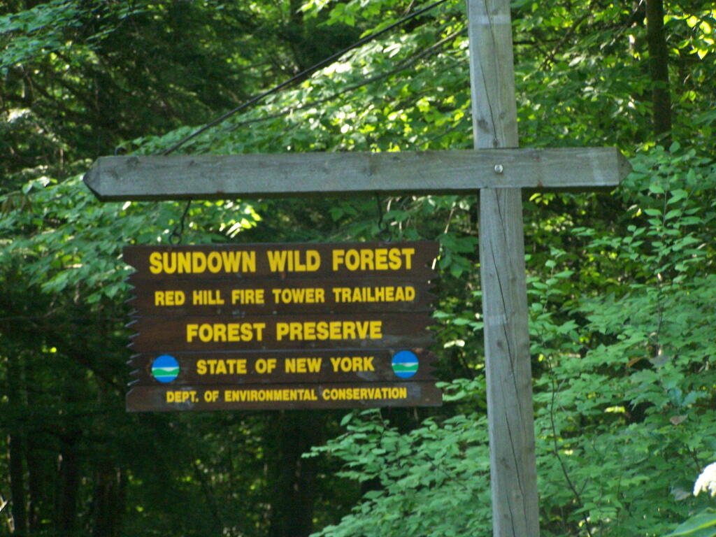
The Red Hill Firetower is on a relatively small in-holding of land by the state of New York that’s part of the larger Sundown Wild Forest. This was the forth Catskill firetower I have visited in recent weeks. I hiked on a beautiful Monday, which I had decided to take a vacation day on.

Red Hill Sign

Red Hill is the easiest firetower to hike up to in the Catskills, even if it’s one of the most difficult to drive from the Albany-area. It is located outside of Grahamsville, about 10 miles North-West of Rondout Reservoir. There is only local dirt roads and windy county roads that run from NY Route 55, which itself is certainly not an expressway.


View Firetowers I’ve Been To in a larger map

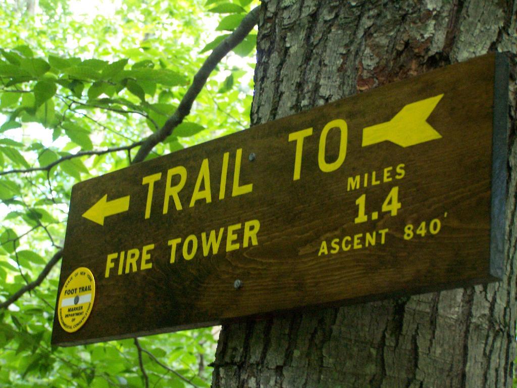
Here is a sign telling you it’s not a tough walk.

1.4 Miles to Firetower

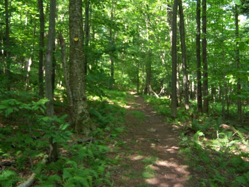
This is typical, relatively flat trail which you walk on for the first 9/10 of a mile.

Easy Walk to Tower

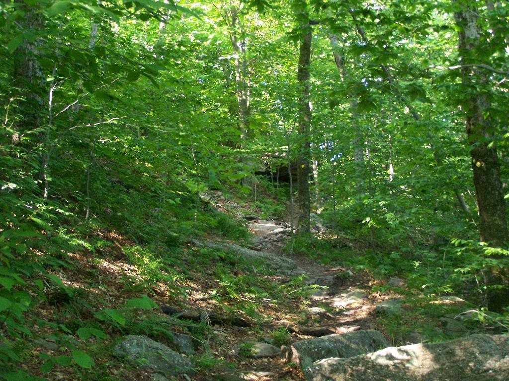
The last 1/2th of a mile is relatively steep compared to the first part, maybe gaining 400 feet in elevation, and you’ll have to stop and breath a few times as you go up towards there.

Steeper Trail

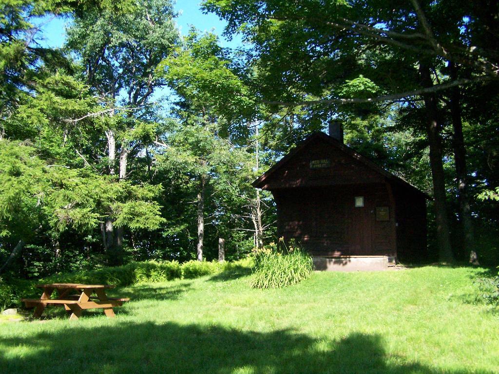
When you reach the top, there is an Ranger Station (open weekends) and several picnic tables. There are big signs saying fires are prohibited due to the fire danger, when the grass is dry. That should be a no brainier, but in the summer and winter, it seems a bit absurd. Must be a bad experience from years ago. There is no outhouse, you’ll have to walk off into the woods to find a place to squat and do your business.

Ranger Station and Pinic Table

This is the tower, directly across from the Ranger Station. It is staffed on the weekends.

Tower Closed

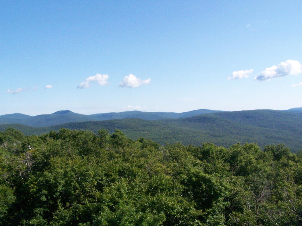
The views aren’t anything to write home about, unless you want to see mountains that are less then remarkable in the distance. This is to the north.

North

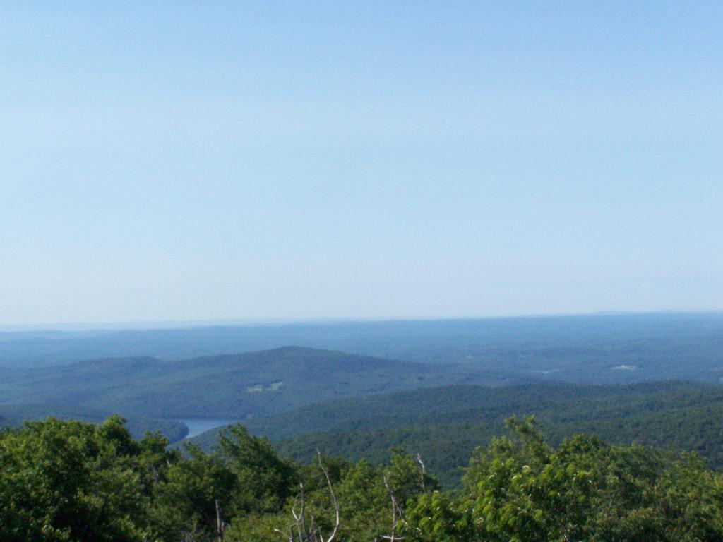
Red Hill is the southern edge of the Catskills, and as you can see looking to the south, the landscape is quite flat.

South of Catskill

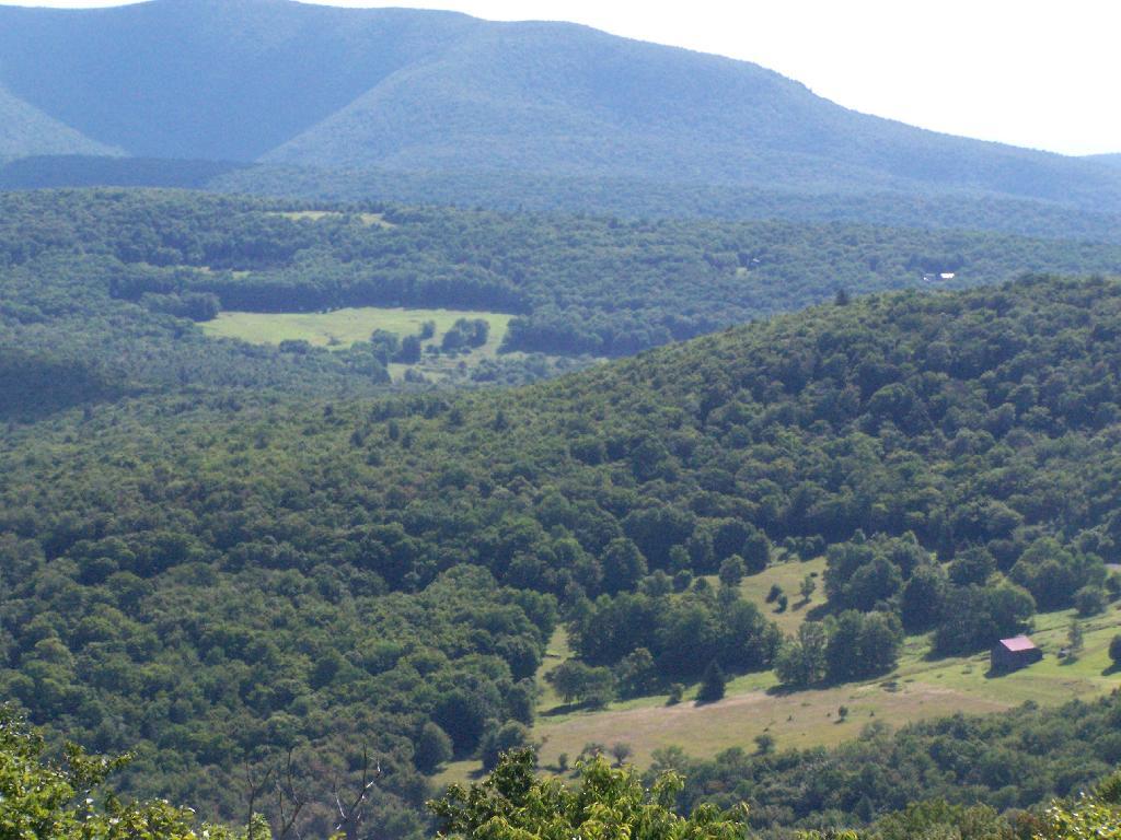
Most of the area around the tower is heavily wooded and owned by either the State or New York City DEP Water. There are a few farms around, especially looking west.

Farms in Valley

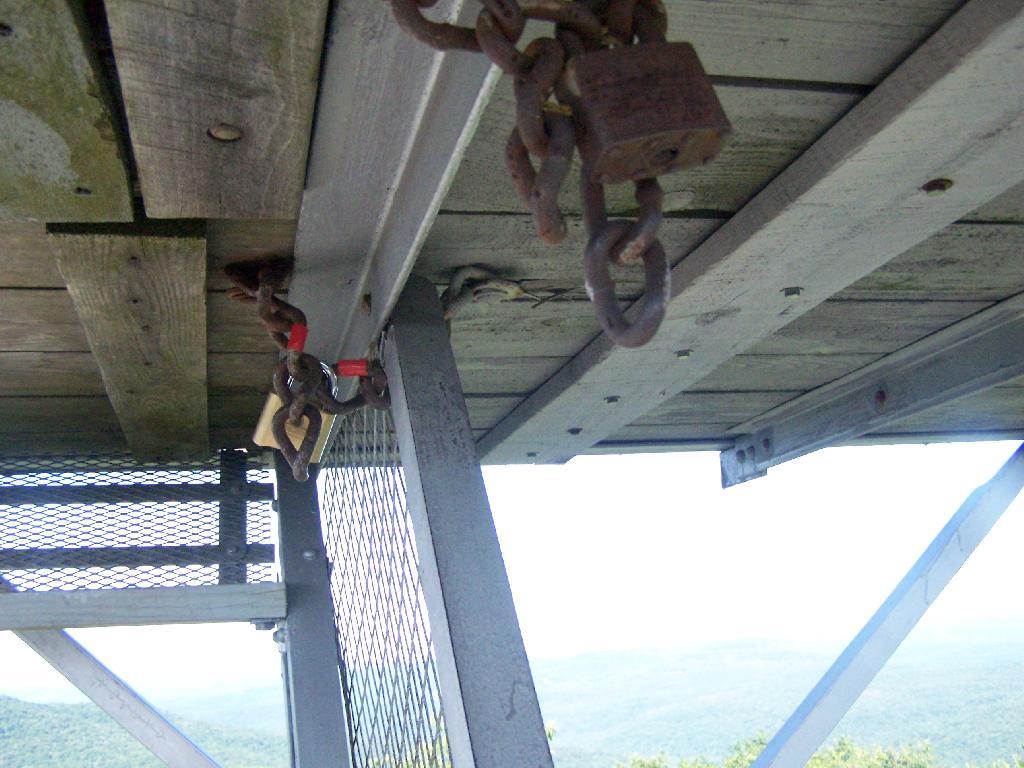
On the weekends, you can go into the tower’s cabin. Weekdays it is closed, supposedly because of vandalism. It’s bullshit if you ask me, because who drives 125 miles into the sticks and hikes 1.4 miles to vandalize an old tower? Mount Tremper is open.

Locked

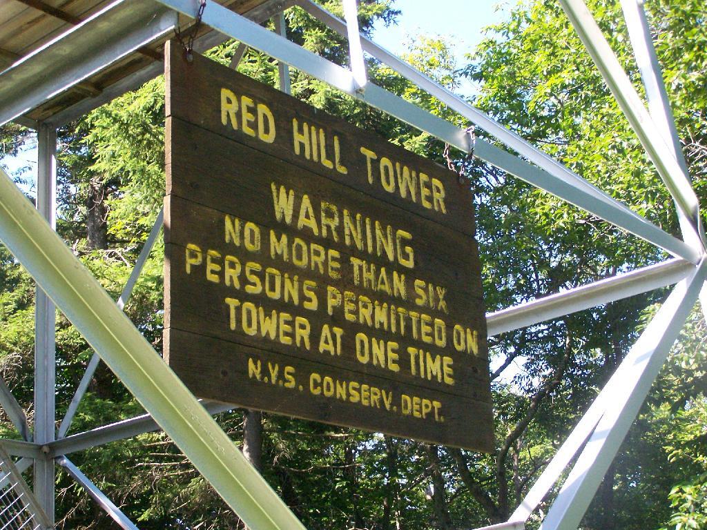
Despite the lousy views (it’s a relative term), the fire tower must be popular, or so the many signs that warn people the tower can only support six people.

Sign

When I was leaving the fire tower I happened to hear an SUV coming up with the former Ranger (now a private individual). They where planning to paint the tower steps on Monday. He offered to unlock the tower, but I was inpatient, and he wouldn’t let me do it with the keys myself. I don’t know if I or him was being more of a dick.

Climbing

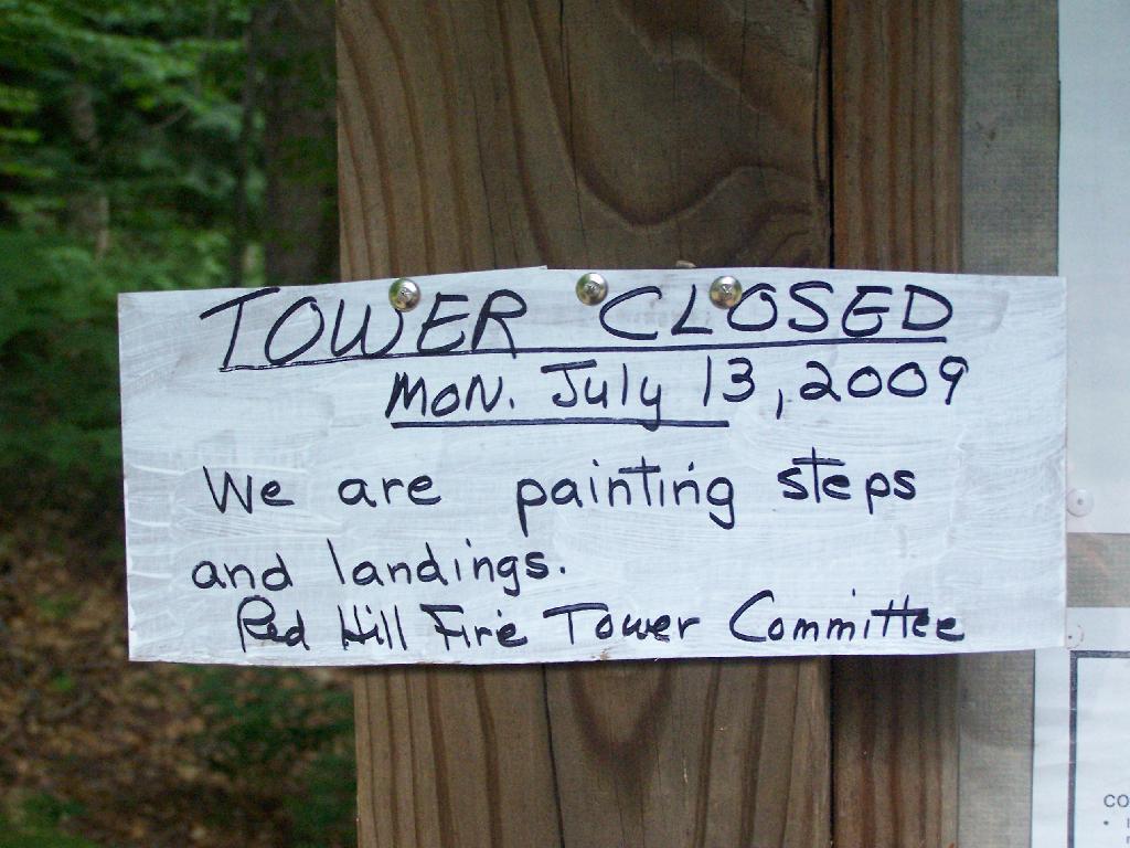
After I left, he closed off the tower, because he was painting the steps.

Tower Closed

Here’s a map of the route to the fire tower.


View Hikes of 2009 in a larger map

This gives you an idea of what you see from the tower. Most notably, Doubletop Mountain and Rondout Reservoir. Nothing really super impressive though, just mountains and very little civilization in this rural part of Sullivan County.


View Firetowers I’ve Been To in a larger map