Search Results for: "Map:" Rain
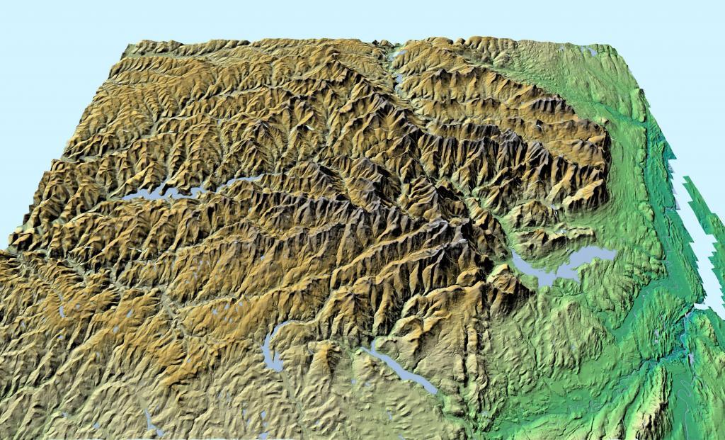
Hills South Of Syracuse
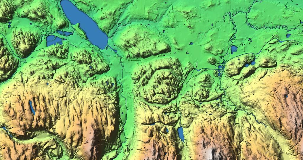
This hillshade terrian map shows the hills and valleys south of Syracuse in Southern Onondaga County.
Union Falls Pond And Surrounding Areas
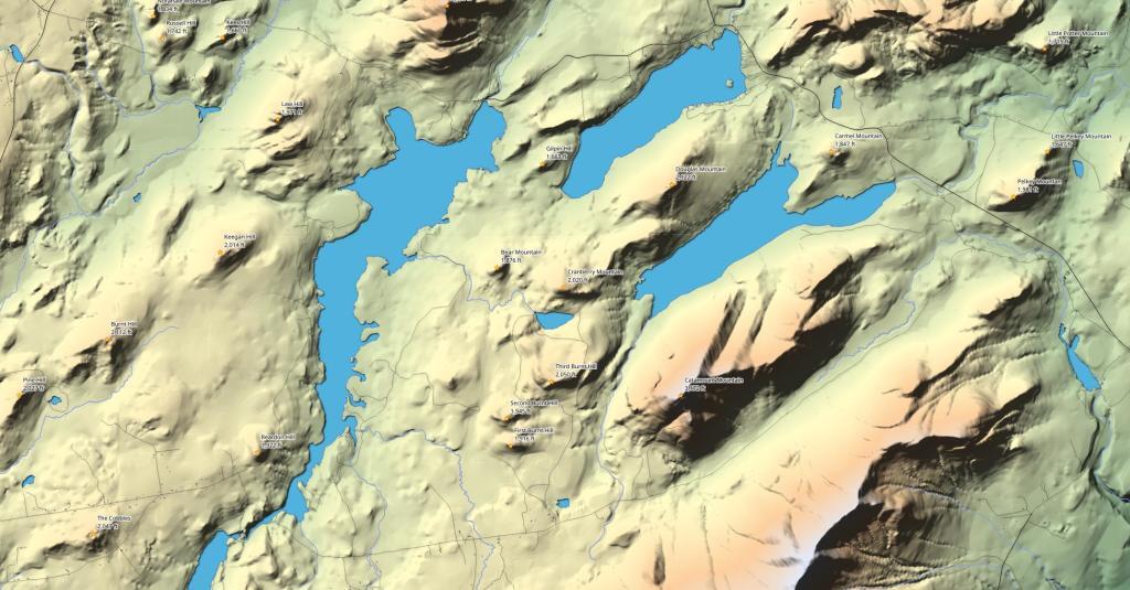
Union Falls Flow is an impoundment on the Saranac River and lies immediately downstream of Franklin Falls Flow. Nearby is Silver Pond and Taylor Lake in the North-Eastern Adirondacks.
How does the area of Manhattan (rotated) compare to Moose River Plains Camping Area?
Well, you can fit a rotated Manhattan into the area between Rock Dam Road Campsite 129A and Cedar River Limekiln Lake Road 7 and Campsite 111 on Otter Creek Road.
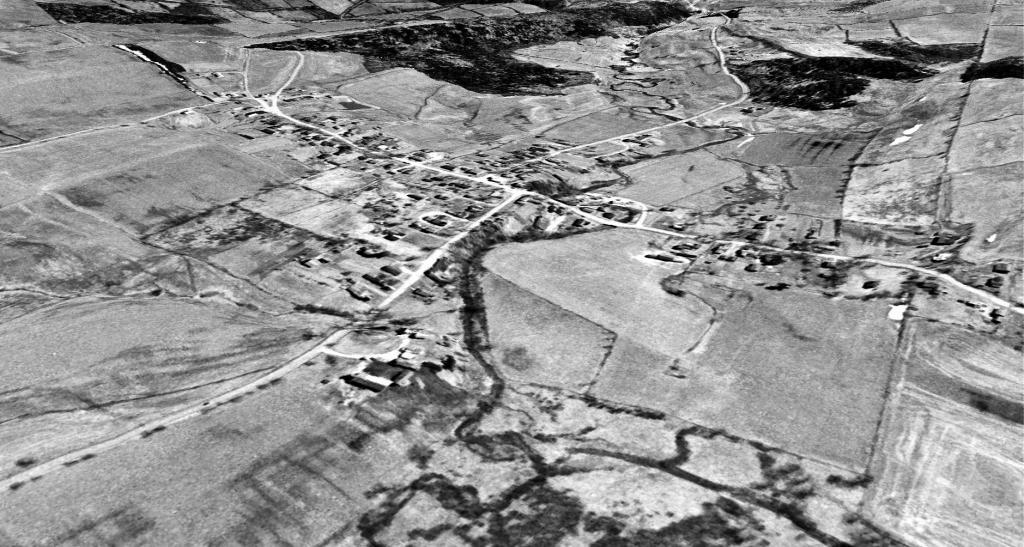
Westerlo and the Basic Creek in 1960
Just another take on this old aerial photo, looking south through the valley the Basic Creek runs. This areas used to be a lot more agricultural then it is today when many farm fields have grown up to woods.
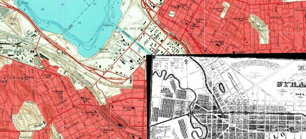
Oswego Blvd Expressway – Canal
This shows how the Oswego Boulevard Expressway (now called Interstate 81) follows the old Oswego Canal. Topographic map 1958, Canal map is from 1834.
![Untitled [Expires October 27 2024]](https://andyarthur.org//data/photo_014618_large.jpg)
