Second Pond Trail
The Second Pond Trail is a 2.5 mile hike back from Chatiemac Lake Road in Bakers Mills. While the trail can be muddy, especially in the spring, this remote lake is good for solitude and brookies.
The Second Pond Trail is a 2.5 mile hike back from Chatiemac Lake Road in Bakers Mills. While the trail can be muddy, especially in the spring, this remote lake is good for solitude and brookies.
You can get a downloadable, more detailed map with campsites, lean-tos, scenic vistas and trails.
Note: This list is sorted from North to South, and West to East in New York, therefore the farthest North Lean-To in NY State is in the Debar Mountain Wild Forest, and the farthest south one is in David A. Sarnoff Pine Barrens Preserve in Long Island. Location links take you to aerial photos of the Lean-Tos on the free ACME Mapper.
Download or View this Chart on Google Sheets
| State Forest Land | Name | Type | Description | Location |
|---|---|---|---|---|
| Debar Mtn. Wild Forest | Debar Mountian Lean-To | Lean-To | 44.598926, -74.228592 | |
| Debar Mtn. Wild Forest | Grass Pond Lean-To | Lean-To | 44.493389, -74.251194 | |
| Taylor Pond Wild Forest | North Shore Taylor Pond Lean-To | Lean-To | Managed By Operations | 44.4897, -73.861427 |
| Taylor Pond Wild Forest | South East Taylor Pond Lean-To | Lean-To | Managed By Operations | 44.482888, -73.853777 |
| Taylor Pond Wild Forest | Northwest Shore Taylor Pond Lean-To | Lean-To | Managed By Operations | 44.477689, -73.881283 |
| Taylor Pond Wild Forest | Poke-O-Moonshine Summit Lean-To | Lean-To | 44.399797, -73.514557 | |
| Saint Regis Canoe Area | Fish Pond Campsite 2 | Lean-To | 44.396133, -74.370421 | |
| Saint Regis Canoe Area | Fish Pond Campsite 5 | Lean-To | 44.391301, -74.365807 | |
| Saint Regis Canoe Area | St. Regis Pond South Shore Lean-To | Lean-To | Within The Adopt A Lean-To System | 44.380642, -74.320299 |
| Saint Regis Canoe Area | St. Regis Pond Campsite 19 | Lean-To | 44.380626, -74.320423 | |
| Wolf Lake State Forest | Beaver Flow Lean-To | Lean-To | 44.357822, -75.316001 | |
| Mckenzie Mtn. Wilderness | Loch Bonnie Lean-To | Lean-To | 44.347347, -73.995669 | |
| Mckenzie Mtn. Wilderness | White Face Brook Lean-To | Lean-To | 44.344217, -73.928647 | |
| Wolf Lake State Forest | Wolf Lake Lean-To | Lean-To | 44.336323, -75.313886 | |
| Saranac Lakes Wild Forest | Lake Placid Campsite 3 | Lean-To | 44.332595, -73.95668 | |
| Saranac Lakes Wild Forest | Lake Placid Campsite 2 | Lean-To | 44.332296, -73.956626 | |
| Wolf Lake State Forest | Moon Pond Lean-To | Lean-To | 44.332276, -75.321172 | |
| Saranac Lakes Wild Forest | Follensby Clear | Lean-To | 44.325095, -74.349897 | |
| Wolf Lake State Forest | Huckleberry Lake Lean-To | Lean-To | 44.324272, -75.333738 | |
| Mckenzie Mtn. Wilderness | Placid Lean-To | Lean-To | 44.321456, -74.030786 | |
| Saranac Lakes Wild Forest | Lean-To | 44.309124, -74.18053 | ||
| Saranac Lakes Wild Forest | Lean-To | 44.302887, -74.302634 | ||
| Saranac Lakes Wild Forest | Lean-To | 44.289835, -74.216869 | ||
| Saranac Lakes Wild Forest | Lean-To | 44.286942, -74.289775 | ||
| Saranac Lakes Wild Forest | Lean-To | 44.286657, -74.162602 | ||
| Saranac Lakes Wild Forest | Lean-To | 44.271712, -74.273283 | ||
| Saranac Lakes Wild Forest | Lean-To | 44.265599, -74.24293 | ||
| Hurricane Mountain Primitive Area | Lost Pond/Biesemeyer | Lean-To | 44.26073, -73.710011 | |
| Hurricane Mountain Primitive Area | Gulf Brook Lean-To | Lean-To | 44.253097, -73.71796 | |
| Saranac Lakes Wild Forest | Lean-To | 44.228772, -74.375533 | ||
| High Peaks Wilderness | Lean-To | 44.198805, -74.31831 | ||
| Horseshoe Lake Wild Forest | Eagle Landing Lean-To | Lean-To | 44.19683, -74.512309 | |
| High Peaks Wilderness | Lean-To | 44.177317, -74.321808 | ||
| Giant Mountain Wilderness | Giant Mtn. Lean-To | Lean-To | 44.175641, -73.722171 | |
| Giant Mountain Wilderness | Giant Mtn. Lean-To | Lean-To | 44.175641, -73.722171 | |
| Horseshoe Lake Wild Forest | Lean-To | 44.158907, -74.560725 | ||
| High Peaks Wilderness | Lean-To | 44.15683, -74.313308 | ||
| Cranberry Lake Wild Forest | Lean-To | 44.1534, -74.884029 | ||
| High Peaks Wilderness | Lean-To | 44.147236, -74.318105 | ||
| Dix Mountain Wilderness | Bouquet Lean-To | Lean-To | 44.110904, -73.774043 | |
| High Peaks Wilderness | Lean-To | 44.105829, -74.312037 | ||
| Sargent Ponds Wild Forest | Lean-To | 44.102744, -74.321863 | ||
| Sargent Ponds Wild Forest | Lean-To | 44.082504, -74.333915 | ||
| Sargent Ponds Wild Forest | Lean-To | 44.081407, -74.335829 | ||
| High Peaks Wilderness | Lean-To | 44.065927, -74.326697 | ||
| Dix Mountain Wilderness | Lilian Brook Lean-To | Lean-To | 44.058989, -73.806533 | |
| Dix Mountain Wilderness | Slide Brook Lean-To | Lean-To | 44.044126, -73.805858 | |
| High Peaks Wilderness | Lean-To | 44.042977, -74.349335 | ||
| High Peaks Wilderness | Lean-To | 44.041409, -74.350149 | ||
| High Peaks Wilderness | Lean-To | 44.02862, -74.366763 | ||
| High Peaks Wilderness | Lean-To | 44.002655, -74.38648 | ||
| William C. Whitney Wilderness | Lake Lila # 7 | Lean-To | 44.002145, -74.775682 | |
| High Peaks Wilderness | Lean-To | 43.998164, -74.392741 | ||
| Independence River Wild Forest | Trout Pond Lean To | Lean-To | 43.928489, -74.94487 | |
| Independence River Wild Forest | Trout Pond Lean To | Lean-To | 43.928489, -74.94487 | |
| Sargent Ponds Wild Forest | Deerland Carry Lean-To 2 | Lean-To | Fair Condition | 43.926218, -74.475396 |
| Sargent Ponds Wild Forest | Deerland Carry Lean-To 1 | Lean-To | Fair Condition | 43.925781, -74.475846 |
| Sargent Ponds Wild Forest | Pinebrook Lean-To | Lean-To | Fair Condition | 43.906646, -74.50259 |
| Sargent Ponds Wild Forest | Lean-To | 43.902847, -74.548063 | ||
| Blue Mountain Wild Forest | North End Tirrel Pond Lean-To | Lean-To | 43.887378, -74.377739 | |
| Sargent Ponds Wild Forest | Lean-To | 43.879414, -74.606052 | ||
| Blue Mountain Wild Forest | O’neil Lean-To | Lean-To | 43.875096, -74.367316 | |
| Sargent Ponds Wild Forest | Lean-To | 43.871006, -74.628108 | ||
| Sargent Ponds Wild Forest | Lean-To | 43.870772, -74.628507 | ||
| Sargent Ponds Wild Forest | Lean-To | 43.87072, -74.629172 | ||
| Sargent Ponds Wild Forest | Lower Sargents Pond Lean-To | Lean-To | Fair Condition | 43.859331, -74.562695 |
| Blue Ridge Wilderness | Boulder | Lean-To | 43.841564, -74.472689 | |
| Sargent Ponds Wild Forest | Lean-To | 43.836898, -74.535266 | ||
| Moose River Plains Wild Forest | Lean-To | 43.831671, -74.661756 | ||
| Moose River Plains Wild Forest | Lean-To | 43.831605, -74.661511 | ||
| Moose River Plains Wild Forest | Lean-To | 43.831434, -74.660902 | ||
| Blue Ridge Wilderness | Cascade Pond Lean-To | Lean-To | 43.829744, -74.436618 | |
| Independence River Wild Forest | Panther Pond Lean-To | Lean-To | 43.823535, -75.169312 | |
| Blue Ridge Wilderness | Wilson Pond | Lean-To | 43.820192, -74.46868 | |
| Blue Ridge Wilderness | Stephens Pond | Lean-To | 43.818674, -74.420524 | |
| Blue Ridge Wilderness | Stephens Pond | Lean-To | 43.818674, -74.420524 | |
| Blue Ridge Wilderness | Stephens Pond | Lean-To | 43.818674, -74.420524 | |
| Blue Ridge Wilderness | Stephens Pond | Lean-To | 43.818674, -74.420524 | |
| Blue Ridge Wilderness | Stephens Pond | Lean-To | 43.818674, -74.420524 | |
| Blue Ridge Wilderness | Stephens Pond | Lean-To | 43.818674, -74.420525 | |
| Sargent Ponds Wild Forest | Lean-To | 43.817134, -74.64378 | ||
| Sargent Ponds Wild Forest | Lean-To | 43.81709, -74.643251 | ||
| Sargent Ponds Wild Forest | Lean-To | 43.8162, -74.644668 | ||
| Blue Ridge Wilderness | Blue Ridge Lean-To | Lean-To | 43.80014, -74.610139 | |
| Moose River Plains Wild Forest | 8thlake East Shore Lean-To | Lean-To | 43.789783, -74.698592 | |
| Moose River Plains Wild Forest | 8th Lake North Shore Lean-To | Lean-To | 43.780115, -74.704439 | |
| Moose River Plains Wild Forest | 8th Lake Island Lean-To | Lean-To | 43.779025, -74.704429 | |
| Moose River Plains Wild Forest | Lean-To | 43.75639, -74.717817 | ||
| Moose River Plains Wild Forest | Lean-To | 43.750767, -74.734643 | ||
| Moose River Plains Wild Forest | Lean-To | 43.747805, -74.744199 | ||
| Independence River Wild Forest | Pine Lake Lean-To | Lean-To | 43.708394, -75.146453 | |
| Haderondah | Middle Branch Lake | Lean-To | 43.702926, -75.096002 | |
| Siamese Ponds Wilderness | Hour Pond Lean-To | Lean-To | 43.70112, -74.158221 | |
| Haderondah | Cedar Pond Lean To | Lean-To | 43.69597, -75.082602 | |
| Haderondah | Middle Settlement Lake | Lean-To | 43.685949, -75.098614 | |
| West Canada Lakes Wilderness | Colvin Brook Lean-To | Lean-To | 43.652414, -74.49038 | |
| Lake George Wild Forest | Five Mile Mountain Lean-To | Lean-To | Lean-To W/ Privy And Firering | 43.647336, -73.574534 |
| Black River Wild Forest | Remsen Falls Lean-To | Lean-To | 43.629925, -75.036288 | |
| Lake George Wild Forest | Fifth Peak Lean-To | Lean-To | Lean-To W/ Privy And Firering | 43.619313, -73.584112 |
| Black River Wild Forest | Woodhull Lake Lean-To | Lean-To | 43.599885, -75.020382 | |
| Lake George Wild Forest | Black Mountain Ponds Lean-To | Lean-To | Lean-To With Privy And Firering | 43.59966, -73.533064 |
| West Canada Lakes Wilderness | Pillsbury Lake Lean-To | Lean-To | 43.596898, -74.531665 | |
| Lake George Wild Forest | Lean-To | Campsite With Lean-To 13-27 | 43.595821, -73.517951 | |
| Lake George Wild Forest | Lean-To | Campsite With Lean-To 5-10 | 43.587168, -73.527759 | |
| Lake George Wild Forest | Greenland Pond Leanto | Lean-To | Leanto With Privy, Picnic Table And Fire Ring | 43.577804, -73.51684 |
| Lake George Wild Forest | Fishbrook Pond North Leanto | Lean-To | Leanto With Privy, Picnic Table And Fire Ring | 43.576039, -73.536103 |
| Lake George Wild Forest | Fishbrook Pond South Leanto | Lean-To | Leanto With Privy, Picnic Table And Fire Ring | 43.573872, -73.538477 |
| Black River Wild Forest | Sand Lake Falls Lean-To | Lean-To | 43.558914, -75.003058 | |
| Black River Wild Forest | Gull Lake Lean-To | Lean-To | 43.553747, -75.059378 | |
| Black River Wild Forest | Chub Pond Lean-To #2 | Lean-To | 43.529823, -75.042494 | |
| Black River Wild Forest | Chub Pond Lean-To #1 | Lean-To | 43.524598, -75.043801 | |
| West Canada Lakes Wilderness | T Lake Leant-To | Lean-To | 43.452718, -74.582282 | |
| Silver Lake Wilderness | Hamilton Lake Stream Lean-To 1 | Lean-To | 43.39716, -74.455046 | |
| Silver Lake Wilderness | Hamilton Lake Stream Lean-To 2 | Lean-To | 43.397156, -74.455065 | |
| Cobb Brook State Forest | Leanto | Lean-To | 43.344545, -75.67222 | |
| Silver Lake Wilderness | Mud Lake Lean-To | Lean-To | 43.342671, -74.456291 | |
| Deruyter State Forest | Deruyter Lean-To | Lean-To | 42.820185, -75.859105 | |
| Morgan Hill State Forest | Morgan Hill Lean-To | Lean-To | 42.767202, -76.011256 | |
| Perkins Pond State Forest | Flt Lean-To | Lean-To | 42.642307, -75.743766 | |
| Dutch Settlement State Forest | Lean-To | Lean-To | 42.629438, -74.267543 | |
| Whaupaunaucau State | Leanto | Lean-To | 42.606063, -75.467114 | |
| Burnt-Rossman Hills State Forest | Eminence Lean-To | Lean-To | 42.543304, -74.488595 | |
| Clapper Hollow State Forest | Clapper Hollow Lean-To | Lean-To | 42.528201, -74.642004 | |
| Tuller Hill State Forest | Tuller Hill Lean-T0 | Lean-To | Rebuilt In 2002 From Local State Forest Red Pine, Built By Volunteers From Suny Cortland | 42.512201, -76.120824 |
| Kennedy State Forest | Foxfire Leanto | Lean-To | 42.472853, -76.178732 | |
| Ludlow Creek State Forest | Ludlow Creek Lean-To | Lean-To | 8′ X 10′ | 42.445802, -75.701507 |
| Genegantslet State Forest | Top Ten Lean-To | Lean-To | 20′ X 20′ | 42.422887, -75.767435 |
| Robinson Hollow State Forest | Kimme Lean-To | Lean-To | 42.390596, -76.271801 | |
| Sugar Hill State Forest | Vanzandt Lean-To | Lean-To | 42.389935, -76.972601 | |
| Sugar Hill State Forest | The Twin Lean-To’s | Lean-To | Two Lean-To At This Location | 42.382253, -77.00268 |
| Sugar Hill State Forest | Templar Rd Lean-To | Lean-To | 42.373082, -76.95548 | |
| Sugar Hill State Forest | Parks Hollow Lean-To | Lean-To | 42.369463, -77.012608 | |
| Huntersfield State Forest | Lean-To | Lean-To | 42.355041, -74.346067 | |
| Beebe Hill State Forest | Beebe Hill Lean-To | Lean-To | 42.335425, -73.484181 | |
| Shindagin Hollow State Forest | Shindagin Lean-T0 | Lean-To | Scheduled For Replacement In 2004 | 42.327644, -76.329036 |
| Danby State Forest | Bald Hill Lean-To | Lean-To | 42.327042, -76.490061 | |
| Danby State Forest | Travor Rd Lean-To | Lean-To | 42.317642, -76.422544 | |
| Harvey Mountain State Forest | Harvey Mountain Lean-To | Lean-To | 42.313988, -73.441495 | |
| Burt Hill State Forest | On Finger Lake Trail Lean-To | Lean-To | 42.313213, -77.566373 | |
| Elm Ridge Wild Forest | On Elm Ridge Trail Lean-To | Lean-To | 42.306134, -74.173598 | |
| South Bradford State Forest | Moss Hill Lean-To | Lean-To | 42.289116, -77.118881 | |
| Windham Blackhead Range Wilderness | Batavia Kill Lean-To | Lean-To | 42.278839, -74.102579 | |
| Rusk Mountain Wild Forest | John Robb Leanto Lean-To | Lean-To | 42.189374, -74.238696 | |
| Rusk Mountain Wild Forest | Diamond Notch Lean-To | Lean-To | 42.16917, -74.256848 | |
| Hunter-West Kill Mountain Wilderness | Devil’s Acre Lean-To | Lean-To | Good Condition | 42.165955, -74.229624 |
| Arctic China State Forest | A-40 Lean-To | Lean-To | 42.158491, -75.362027 | |
| Barbour Brook State Forest | A-41 Lean To | Lean-To | 42.152807, -75.31021 | |
| Lean-To | 42.135655, -74.16269 | |||
| Dry Brook Ridge Wild Forest | German Hollow Road Lean-To | Lean-To | 42.134527, -74.616198 | |
| Lean-To | 42.119518, -74.086575 | |||
| Lean-To | 42.117719, -74.503199 | |||
| Lean-To | 42.115031, -74.49075 | |||
| Lean-To | 42.102787, -74.394826 | |||
| Lean-To | 42.098467, -74.09079 | |||
| Big Indian Wildernes Area | Rider Hollow Lean-To | Lean-To | 42.092012, -74.505713 | |
| Lean-To | 42.082185, -74.586611 | |||
| Big Indian Wildernes Area | Mckinly Hollow Lean-To | Lean-To | 42.075339, -74.485857 | |
| Lean-To | 42.071935, -74.28035 | |||
| Lean-To | 42.069751, -74.287449 | |||
| Lean-To | 42.067368, -74.586988 | |||
| Lean-To | 42.066913, -74.654635 | |||
| Big Indian Wildernes Area | Shandaken Brook Lean-To | Lean-To | 42.050274, -74.5106 | |
| Delaware Wild Forest | Campbell Mountain Trail Lean-To | Lean-To | 42.048989, -74.927363 | |
| Lean-To | 42.048641, -74.645056 | |||
| Lean-To | 42.039437, -74.594017 | |||
| Lean-To | 42.027316, -74.335645 | |||
| Delaware Wild Forest | Trout Pond Trail North Lean-To | Lean-To | Built For Ada | 42.012942, -74.946392 |
| Delaware Wild Forest | Trout Pond Trail South Lean-To | Lean-To | Built For Ada | 42.011758, -74.947566 |
| Big Indian Wildernes Area | Biscuit Brook Lean-To | Lean-To | 42.009105, -74.483852 | |
| Delaware Wild Forest | Pelnor Hollow Trail Lean-To | Lean-To | 42.005744, -74.867403 | |
| Big Indian Wildernes Area | Fall Brook Lean-To | Lean-To | 41.998075, -74.560392 | |
| Lean-To | 41.959182, -74.406877 | |||
| Lean-To | 41.94006, -74.632055 | |||
| David A. Sarnoff Pine Barrens Preserve | Interior Lean- To | Lean-To | 40.89774, -72.660615 |

The Bourn Pond Trail skirts the western edge of Branch Pond and then enters the Lye Brook Wilderness. The trail travels along an old railroad grade and reaches south end of Borun Pond. Sections of this trail can be very muddy and may not be suitable for hiking during wet weather.
Check out the DEC's website to find out an excellent overview map of Debar Mountain Wild Forest, updated April 2017.
"Trails on the unit offer opportunities for hiking, cross country skiing, snowshoeing, horse back riding, mountain biking and snowmobiling. Popular destinations within the unit include Debar Mountain, Azure Mountain and Debar Meadows. Other popular pastimes are hunting, fishing, canoeing and boating. Access to the unit's water resources is available at Meacham Lake Campground and Buck Pond Campground, as well as on the St. Regis River, Osgood Pond, Jones Pond, Deer River Flow, Mountain Pond, and Lake Kushaqua. Vehicle access to the unit is provided primarily via NYS Routes 3, 30 and 458. Important local roads for access include county route 26 (Old Route 99), Red Tavern Road, Kushaqua-Mud Pond Road, Gabriels-Onchiota Road, Blue Mountain Road, and Oregon Plains Road."
Good evening! I was sitting out back for a while looking at the stars but it started to get cold. Now I’m back inside, in my bedroom next to my American flag lit by camp lamp. That flag is enormous in my apartment. It looks nice but will be even nicer in the woods next week. I’m a Proud American. Partly clear and 49 degrees in Delmar, NY. There is a west-northwest breeze at 8 mph.
Tonight will be mostly clear, with a low of 35 degrees at 5am. Two degrees below normal. Northwest wind 3 to 8 mph. In 2016, it got down to 31 degrees under clear skies. The record low of 19 occurred back in 1973.
Waning Gibbous Moon tonight with 82% illuminated. The Last Quarter Moon is on Wednesday night with chance of showers expected. The Full “Flower” Moon is in 4 weeks. The sun will rise at 6:15 am with the first light at 5:46 am, which is one minute and 38 seconds earlier than yesterday. Tonight will have 10 hours and 37 minutes of darkness, a decrease of 2 minutes and 46 seconds over last night.
Tomorrow, Good Friday, will be sunny, with a high of 64 degrees at 4pm. Six degrees above normal. Calm wind becoming north around 5 mph in the afternoon. Sounds like it’s going to be a pretty nice day. A year ago, we had sunny skies and a high of 58 degrees. The record high of 83 was set in 1968. 1.4 inches of snow fell back in 1950.
For Saturday, a chance of showers and thunderstorms between 2pm and 5pm, then a chance of showers after 5pm. Increasing clouds, with a high near 63. Light south wind increasing to 11 to 16 mph in the morning. Winds could gust as high as 26 mph. Chance of precipitation is 40%. New rainfall amounts of less than a tenth of an inch, except higher amounts possible in thunderstorms. Maximum dew point of 44 at 9pm.
On Easter, a slight chance of showers, then scattered showers and thunderstorms after 2pm. Partly sunny, with a high near 81. Chance of precipitation is 30%. New rainfall amounts of less than a tenth of an inch, except higher amounts possible in thunderstorms. Maximum dew point of 55 at 8pm.
Typical average high for the weekend is 58 degrees.
It wasn’t a terrible day but it was rather chaotic at times. I think I made it through the day okay but there was a few brushes against disaster but I think I’ll be fine. I need to push back politely with people when they become too demanding on things. I don’t always have to take calls too or answer emails right away.
I have Good Friday off which is good because I’m tired after this week. I want to work on wiring up the truck cap and the rest of the things set up and tested for camping this week. I will probably go grocery shopping on Monday and maybe leave Tuesday after work or maybe hold off for Wednesday. I’m undecided.
I was noticing how green the grass has gotten in both Delmar and in the city. Some trees are starting to blossom, but no leaves except on some of that awful, invasive honeysuckle that tends to take over in all scrubby places in the woods along the roadsides. Spring will come to the Albany-area eventually. We had some sun for a while, then it clouded up and cleared for dusk.
While models of the Southern Adirondack snow pack show significant snow in parts of the Southern Adirondacks, with the weekends rains and warmer temperatures, it’s expected to be almost entirely gone. That said, already the North Country is free of snow, and most of the Adirondacks should be melted by the time I get up there. But I don’t want to get far off blacktop this time of year, especially with the rain, as everything is probably mud and muck. April camping kind of sucks this time of year, with all of the mud. Plus I expect it to be fairly cold and wet at least from Thursday into Friday. Well, I know to proceed slowly, and get out and walk the road before I drive it if there is any question. I’m not getting stuck in the mud. Buck no!
I’m thinking on Wednesday or Thursday, hitting up Horseshoe Lake for a night, and maybe hiking back to Lows Ledge. The rough but asphalt NY 421 is plowed all the way back to Horseshoe Lake, although the road to Hitchens Pond is closed for the spring mud season. The snow is gone up there from the map but you never know with drifts. It’s been a number of years since I’ve been up that way, and it would be fun to explore. Off-season I probably have my choice of sites on Hitchens Pond, and if I paddle from Horseshoe Outlet to Hitchens Pond, it could be quite nice. But it might also have things blocking the way, so I might avoid it due to water that is still pretty cold.
Later in the week into the weekend I’m thinking about the Deer River area in Malone if the road is passable. I don’t remember it being soft but if it looks risky I’m not going to try it. There are other places to explore and fish. Fishing the Deer River though kind of excites me. Such a beautiful part of the state, mostly unknown around here. As I noted yesterday, might camp at the Walter Pratt area. I think I would prefer that as I have better cell reception there and those campsites have outhouses and picnic tables. There are some state forests like Wolf Lake State Forest, I’d love to see in St. Lawrence County. The power project and paddling part of the St. Lawrence River might be fun too. Then maybe come back through the Black River Valley and camp in the Otter Creek area, assuming the road is open this time of year. I should call the DEC in Lowville on Monday to find out. I’m thinking that Eatonville Road is probably still very soft this time of year if it’s open at all. Maybe I should plan to come back through the Adirondacks and camp somewhere there like Jones Pond.
In four weeks on May 11 the sun will be setting at 8:07 pm, which is 31 minutes and 26 seconds later then tonight. In 2016 on that day, we had mostly sunny skies and temperatures between 75 and 40 degrees. Typically, you have temperatures between 68 and 46 degrees. The record high of 90 degrees was set back in 1911.
Looking ahead, the Start of June is in 7 weeks. Lots of weeks of Black Fly Season ahead.
Good evening folks. Merry Christmas! Tomorrow is Christmas Eve. Rain and 53 degrees tonight. Rain will last a few more hours before stopping. Tomorrow is going to be a hot one, at least by December standards with Christmas Eve expected to reach the upper 60s or low 70s depending upon how much the clouds break. Christmas Day will be not as quite warm, with highs looking to reach the mid to upper 50s. Saturday afternoon the rain comes, and we will see low 50s then. More rain Sunday, then Monday into Tuesday, Albany may finally get its first snowfall of the year 1-3 inches of snow and ice. The snowfall if it happens on Tuesday will be the latest ever recorded in the history of Albany.
Went down to the library for a bit, uploaded some maps and content to the blog. I haven’t done many for a while, but soon some Google Maps will be coming to the blog. Technically, they’re KML maps but they’re interactive, full-screen maps overlaid on Google Maps. I could and may eventually switch them to Open Street Map or something from the US Government that is totally free to use. Some are census data and some are political data. Neat stuff, but sometimes static maps are better, especially for simpler maps.
I checked the truck and the battery looks good per the voltage meter. All my battery problems were fixed by just disabling the accessory battery while starting or so I think. We will see but I’m feeling fairly confident at this point.
Packing tomorrow for camping. Christmas Day looks to have fantastic weather. If not for the family dinner tomorrow, I’d leave tomorrow as both Christmas Eve after dark and Christmas Day look to be spectacular.
Christmas Day, I’m going to explore Basswood Pond State Forest and hike some of the trails there. It’s only 750 acres up on a mountain but looks nice based on what I’ve read. Probably just camp one night at Charles Baker State Forest and come back with the rain expected Saturday evening. I was going to stay the full weekend but not if Saturday is going to be a soaker. No snow up there, and the campsites are hardened with gravel, so they shouldn’t be too muddy. They also have good cellphone service up there for emergencies and entertainment at night. Lot less road noise than NY 8 in the . I’d love to do more hiking but I don’t know how to make it work with camping plans.
Christmas Day looks so nice I thought about hiking in the Adirondacks and camping along Route 8 on the East Branch, but I might do that next week for the New Years Eve celebration. Same distance almost as Charles Baker. NY 8 is a blacktop state road, maintained all winter, so I can camp there even if there is a fair amount of snow. The campsites are all pretty close to the road. Which is nice, except it does mean a lot of road noise when the big trucks come through at night. I want to get some sparklers and fountains to light off, which are supposed to be on sale this time of year. Plinking would be fun too. Originally planned to camp at the lean-to on Beebe Hill but I doubt we’ll have sufficient snow by New Years to drag my sled with gear up it. Beebe Hill has that great fire tower up top.
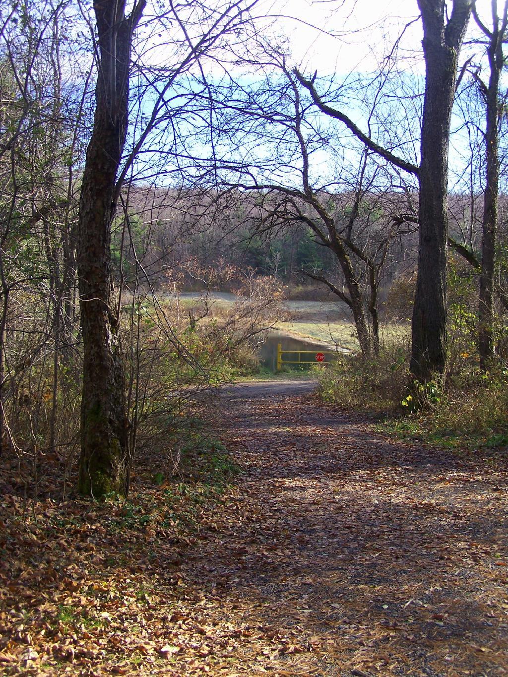
Stoney Pond State Forest is located in the highlands between Morrisonville and Cazenovia, and includes a camping area that requires a free permit in the summer. I camped there on November 7, 2010 on a very cold morning.
Waking up truck camping in November meant morning came real early, especially because I had to get going with night approaching fast. This was campsite number eight under the morning light. All of the campsites at Stoney Pond had these great round fire rings.
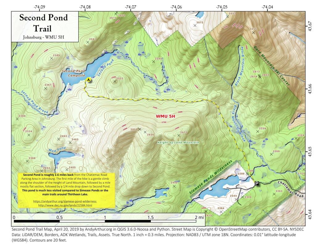
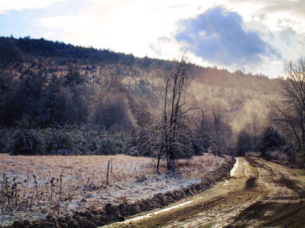
Walking Through The Woods. There isn’t much in the way of leaves on the trees right now.
Frost on the Leaves.
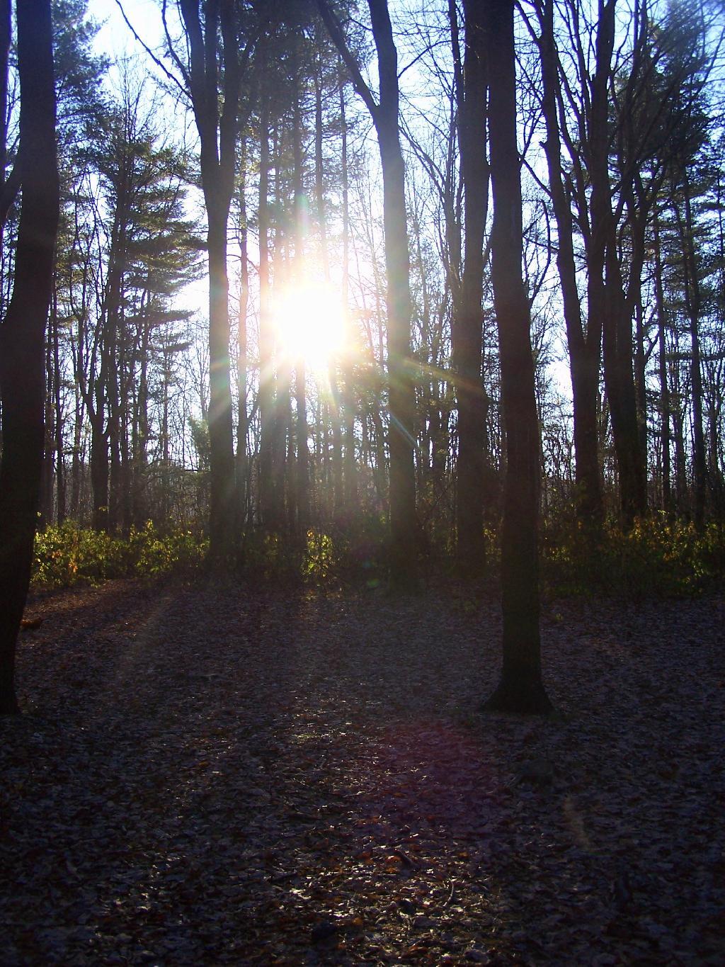
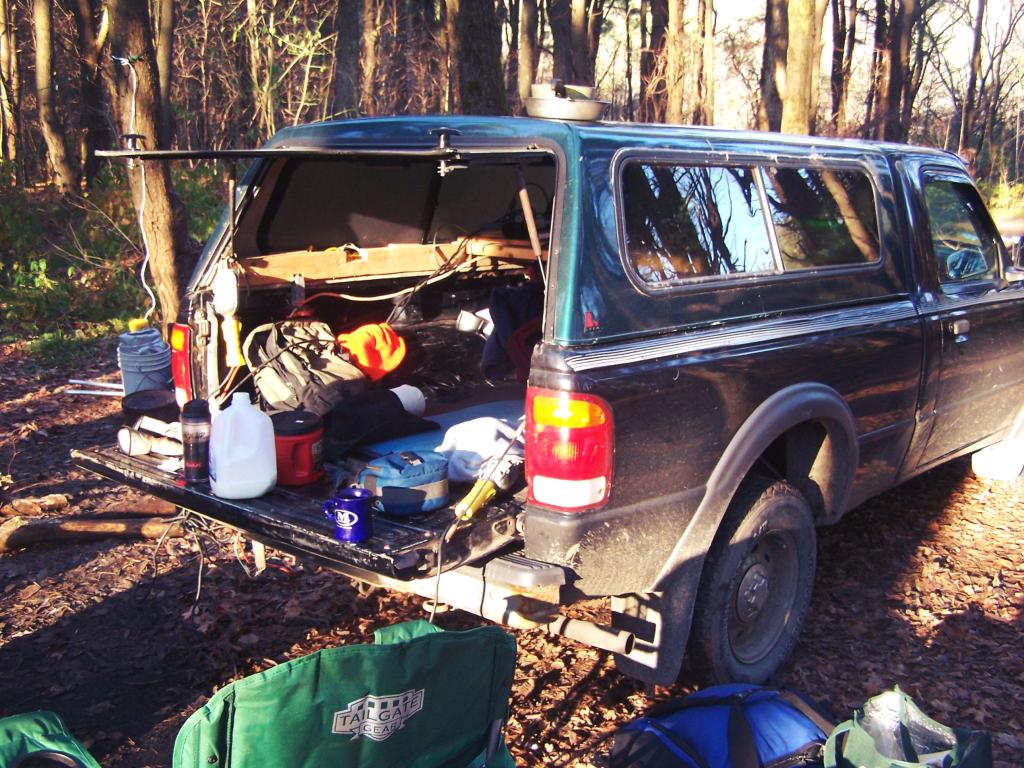
Truck Camping. In the morning, having my cup of coffee and getting ready to face the day’s adventures. I need to get a table, so I don’t have so much clutter on my tailgate — there are no picnic tables at Stoney Pond.
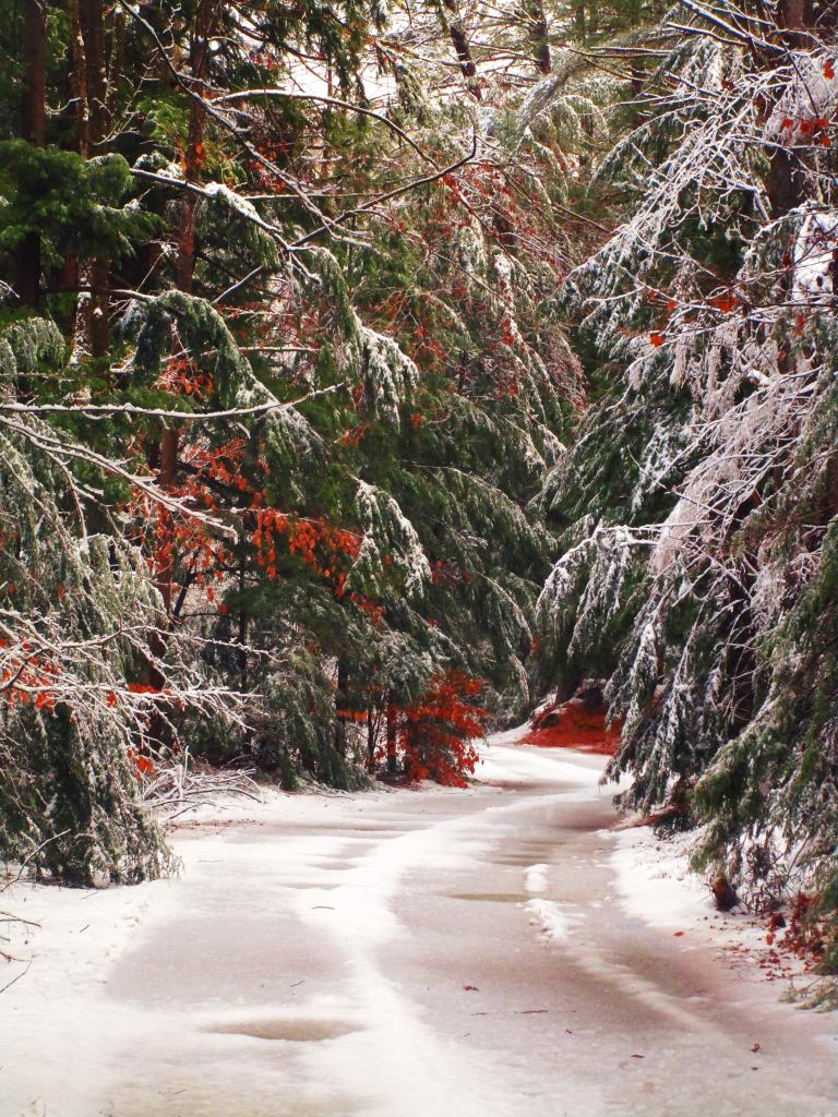
Icy Ruts. It was that cold in the morning that muddy ruts up there iced up.
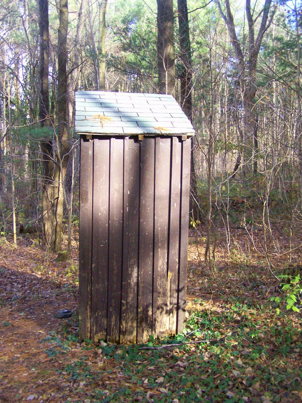
Outhouse. In the summer months they also have port-a-poties down by other campsites.
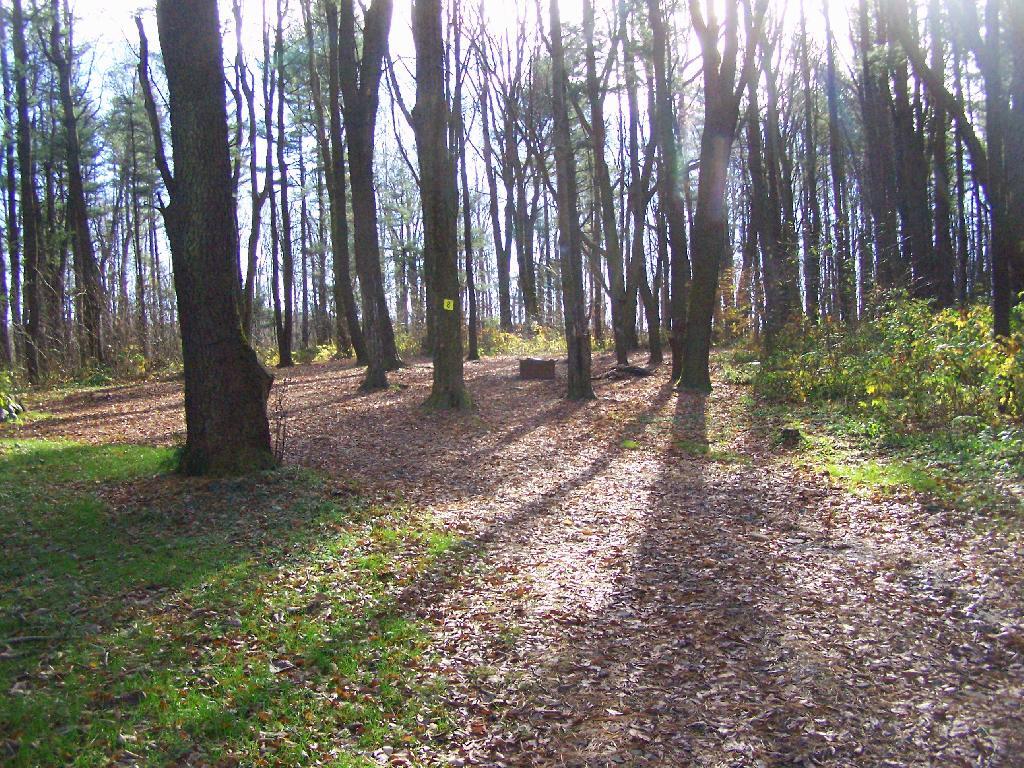
Campsite 8. This is where I camped at, as seen from the road. I liked this site a lot because it was well set back.
Campsite 4. Another really nice campsite, although a bit closely spaced.
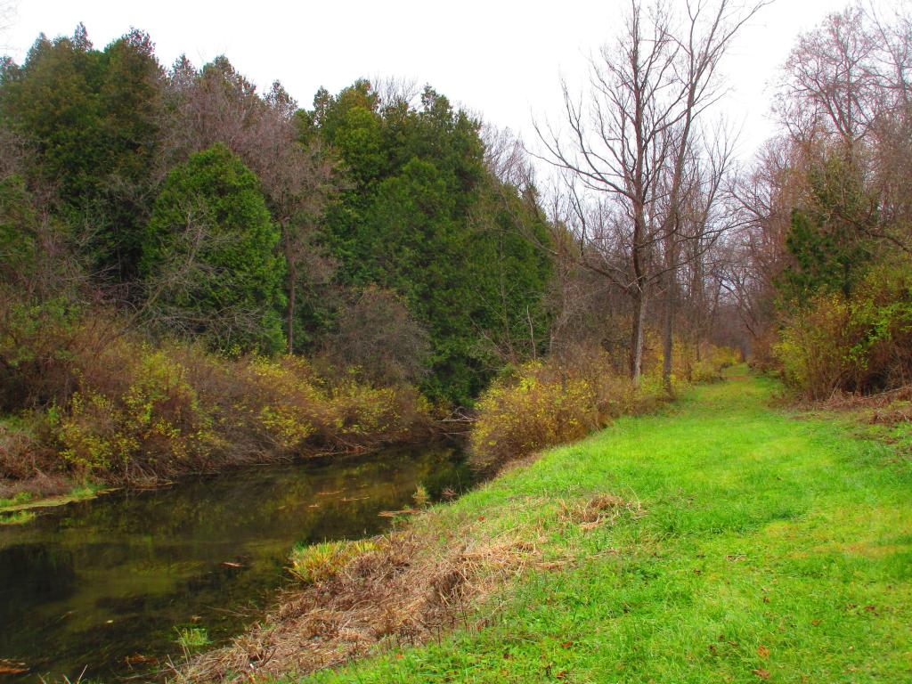
Path Down to Stoney Pond. There is a road that goes down to Stoney Pond for those wanting to launch a boat into it.
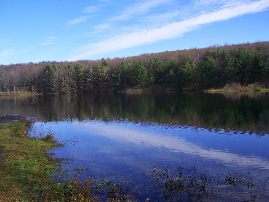
Stoney Pond. On on side, there is a sandy beach/boat launch.
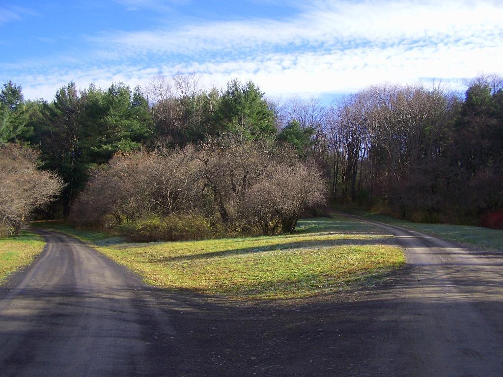
Campground Roads. There is no charge to camp here, although they want you to call the forest ranger for a free permit in the summer to control usage.
Campsite 1. Not a very nice campsite, but I guess if you want a drive to place where you can camp, and other 15 sites are full, it can be used.
Here is a map of the Stoney Pond Camping Area.
Here is the State Forest Map.
Arterial photo of the area.