Good morning! Happy Saturday. Finally the weekend! Next Saturday is Winnie the Pooh Day 🍯. Cloudy and 51 degrees at the CDTA Bus Stop #449. ☁ Breezy, ️18 mph breeze from the south 🌬 with gusts up to 32 mph 💨💨💨. The dew point is 46 degrees. Temperatures will drop below freezing at tomorrow around 9 pm. ☃️
I was up bright and early today at 6:30 AM but after getting up I ended up wasting time, I mean using it productively working on maps and content for the blog. But my thing wasn’t to be super prodcutive, it was to establish a better sleeping routine, getting up early each morning on weekends and weekdays alike. 🌅 I now try to be in bed by 9 PM or so, and asleep by 10 PM. I just think I’ve been staying up too late, and too rushed in the morning, and it’s much better for health to not sleep in on the weekends.
I needed milk 🐮 so I went to Stewart’s and got milk and ice cream 🍨as the sale goes on to Sunday. Got half off my gallon of milk as my milk card 💳 was fully stamped. Lately I’ve not been drinking so much milk as I’m a big fan of sugary apple 🍏 juice. That said it’s I don’t drink alcohol anymore at home and don’t have sweets at home 🍬 but I do have occasional sweets at work. They do have the best ice cream and it’s a true half gallon. 🍦I Crumbs along the Mohawk. Yum. 😋
This morning with the thawed out ground rain expected, you could smell them out hauling manure 💩 at the farm down the road. Good stuff, makes the corn 🌽 and hay grow well 🌾 and really is the best stuff for fertile fields come next year. Cow poop, soiled hay, and rotted silage is a lot more than just a stinky source of nitrogen. It really does rebuild the land. 🚜 And milk is still God’s best beverage 🍵 to say nothing of cheese, yogurt, cottage cheese and ice cream. Pretty much can make everything out of milk. Plus everybody loves cows even if living near a farm can be pungent at times. 🐄
That said, I was kind of late to the meeting I was supposed to be at this morning because I got working on a map and some research for some projects for the blog. 🗾 I’ve been a bit lazy about creating new content for the blog, spending too much time on the exercise bike 🚲 and the YouTube. I just spend too much times day dreaming about far away places from the world I’m in and the very budge basement office 🏢 I work in with no views. I got so spoiled when I worked in the Alfred E Smith building with the view of the mountains and the amazing sunsets 🌇.
Today will have a chance of showers, mainly after 5pm. Cloudy 🌦, with a high of 60 degrees at 3pm. 30 degrees above normal, which is similar to a typical day around April 18th. Maximum dew point of 50 at 4pm. Breezy, with a south wind 16 to 20 mph, with gusts as high as 33 mph. Chance of precipitation is 30%. New precipitation amounts of less than a tenth of an inch possible. A year ago, we had mostly sunny skies in the morning with some clearing in the afternoon. The high last year was 24 degrees. The record high of 57 was set in 1975. 8 inches of snow fell back in 1922.❄
Busy day today. Pine Bush meeting in the morning and then filming 📹 the Reszin Adams documentary. We are still trying to figure out the camera and the best way to produce the video as none of us, the myself the camera man included, know what the hell we are doing. I’m sure though our professional producer will give us some tips. We have nice microphones and lights but I can only guess how to set it all up. I was debating about taking the bus 🚍 versus driving 🚘 but I will probably drive so I can get groceries afterwards and so I don’t accidentally get stuck in the rain waiting for the bus ☔ for forty five minutes. The buses move fast on the weekends but the schedule is thin compared to the weekdays.
Solar noon 🌞 is at 12:03 pm with sun having an altitude of 25.5° from the due south horizon (-45.3° vs. 6/21). The golden hour 🏅 starts at 3:57 pm with the sun in the southwest (233°). 📸 The sunset is in the west-southwest (241°) starting at 4:39 pm and lasts for 3 minutes and 20 seconds with dusk around 5:13 pm, which is one minute and 6 seconds later than yesterday. 🌇 The best time to look at the stars is after 5:48 pm. At sunset, look for rain 🌧 and temperatures around 60 degrees. The dew point will be 50 degrees. Breezy, 16 mph breeze ⛅ from the south with gusts up to 29mph. Today will have 9 hours and 17 minutes of daytime, an increase of one minute and 23 seconds over yesterday.
Tonight will rain, with thunderstorms also possible after 3am. Some of the storms could produce heavy rain. 🌧 Low of 55 degrees at 6am. 41 degrees above normal, which is similar to a typical night around June 9th. Maximum dew point of 53 at 2am. 🏖️ South wind 13 to 17 mph, with gusts as high as 29 mph. Chance of precipitation is 90%. New rainfall amounts between a tenth and quarter of an inch, except higher amounts possible in thunderstorms. In 2019, we had clear skies in the evening, which became cloudy by the early hours of the morning. It got down to 12 degrees. The record low of -26 occurred back in 1968.
🌹🌻🌼Only 68 days remain until the first day of calendar spring!🌹🌻🌼
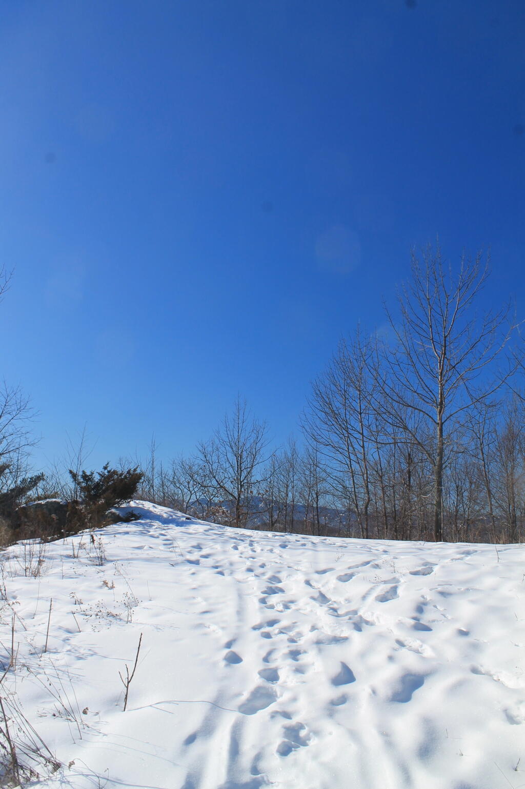
I am watching the forecast for next weekend to see if I can get out of town. ❄ Looks really snowy next weekend so I guess I should just go ahead and enjoy today even wiyj my busy schedule.
As previously noted, next Saturday is Winnie the Pooh Day 🍯 when the sun will be setting at 4:49 pm with dusk at 5:20 pm. On that day in 2019, we had snow showers, mostly cloudy and temperatures between 35 and 21 degrees. Typically, the high temperature is 30 degrees. We hit a record high of 59 back in 1973.