Search Results for: "Map:" Rain
Berne Topography
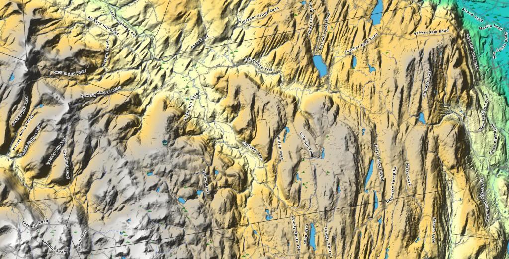
Berne has a series of hills and valleys that drop off at the escarpment on the far east side of the town.
Hadley
The confluence of the Sacandaga and Hudson River.
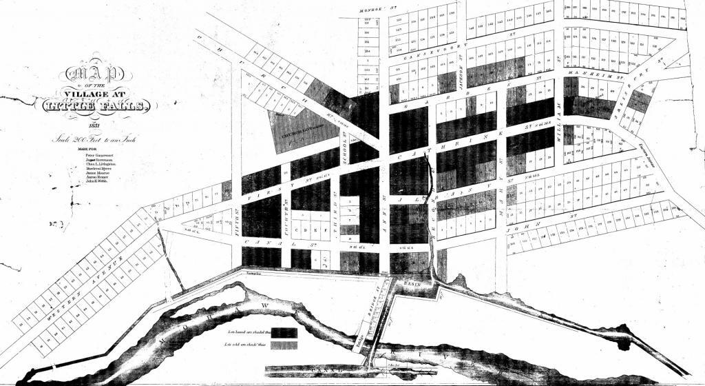
Little Falls 1851
Fulton
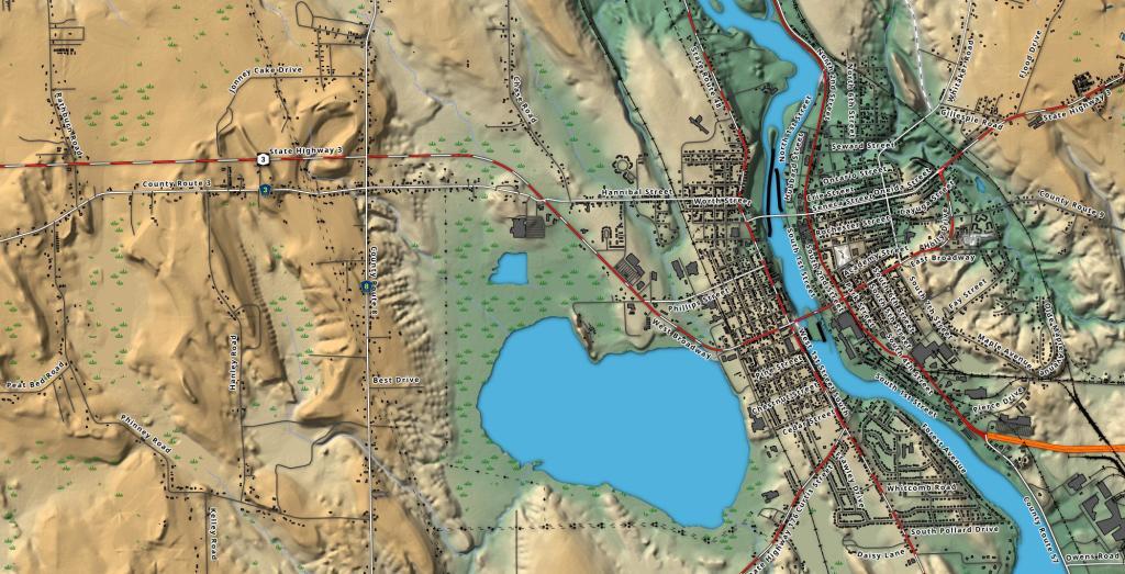
Fulton is a small city along the banks of the Oswego River north of Syracuse, with hills to the east and swamps to the west.
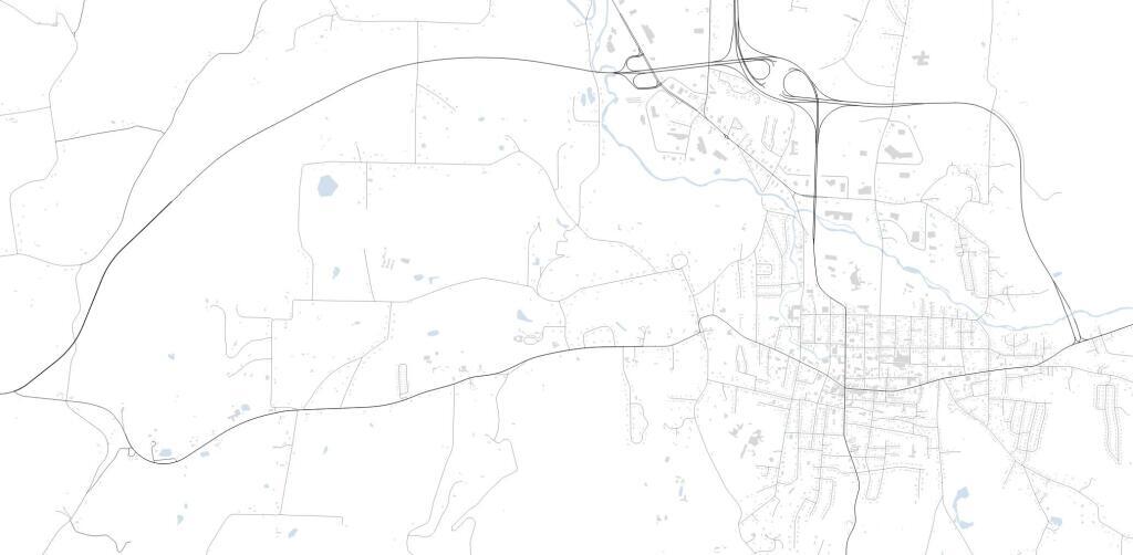
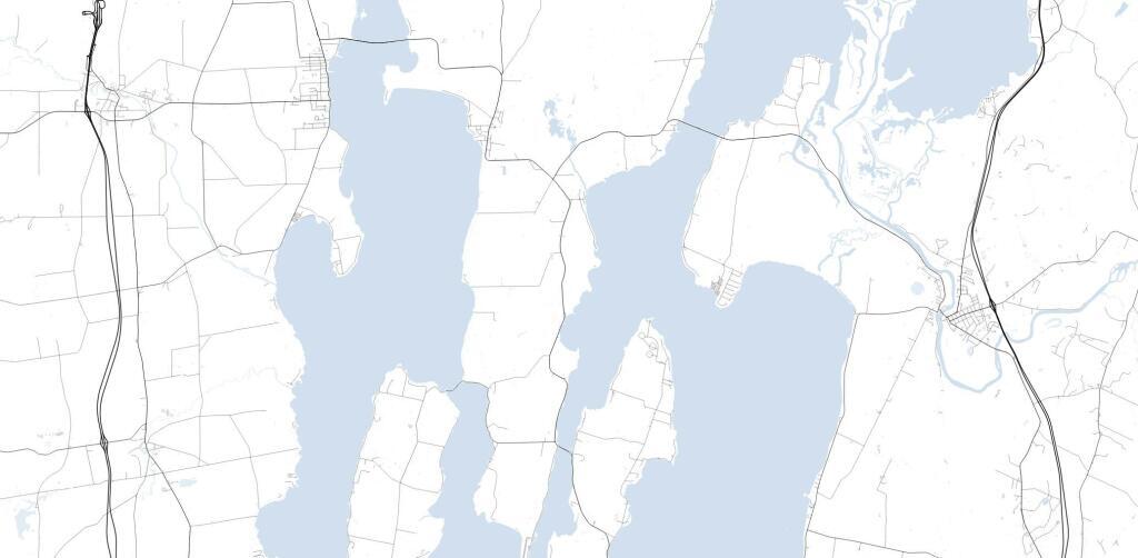
Rouses Point – Grand Island Vermont
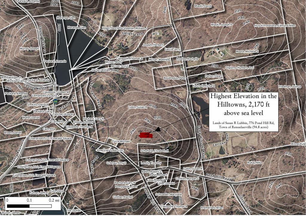
Highest Elevation in Albany County
There was a discussion on Facebook about the highest point in Albany County. I thought this would be an easy and fun GIS question. Looking at 10 m digital elevation model, the answer would be 42.52806632, -74.19845216 -- the lands of Susan R Lubbin, 776 Pond Hill Rd, Town of Rensselaerville (94.8 acres). Officially, Henry Hill at 2,162 foot elevation is the highest point in county, however at least from digital elevation model, Henry Hill is 2,164 ft and the lands of Ms. Lubbins is 2,170 ft.
