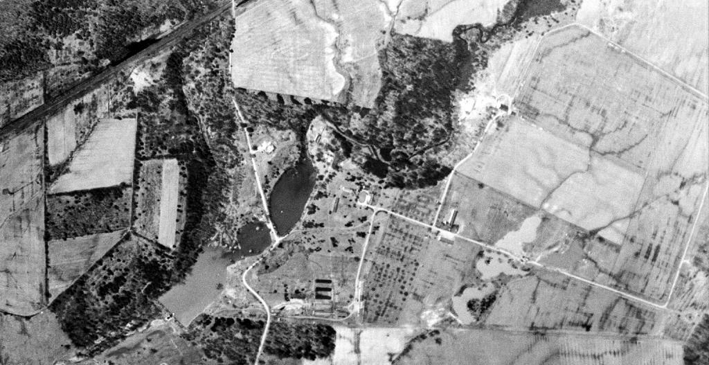
Delmar Game Farm April 1952
Looking through old aerial photos of Delmar I found this of the old game farm.
Looking through old aerial photos of Delmar I found this of the old game farm.
Brought to you by the builders of the Pyramid Scheme.
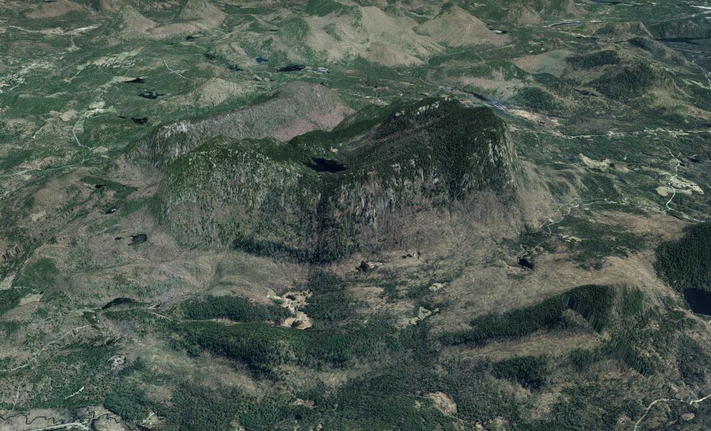
This is a beautiful aerial photo super-imposed on the LiDAR hillshade to show the area with detail as you might see it from an airplane in late winter.
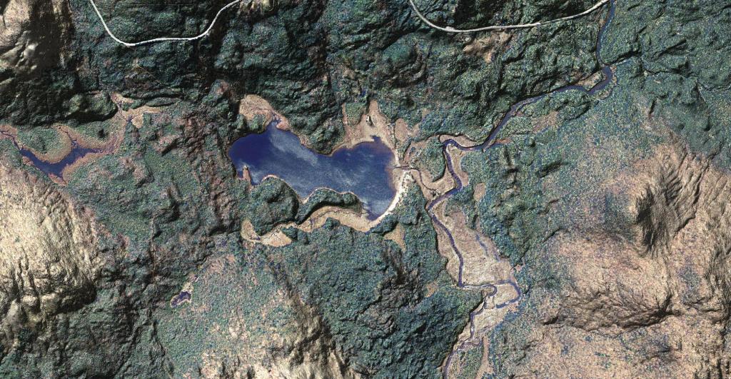
You can drive down to Cheney Pond via an unmarked road along Boreas Road, on top of a hill with a pull-off. The road is somewhat rutted but there is a drive-in campsite at the bottom of the road. From there, you can paddle across Cheney Pond and follow a narrow but navigable stream down to Lester Flow, which is little more then a still water in the Boreas River. At one time, Lester Flow was a all flooded but the dam is long gone, just leaving the still water.
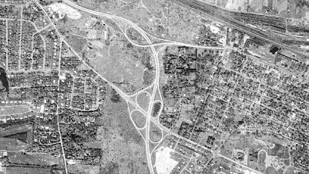
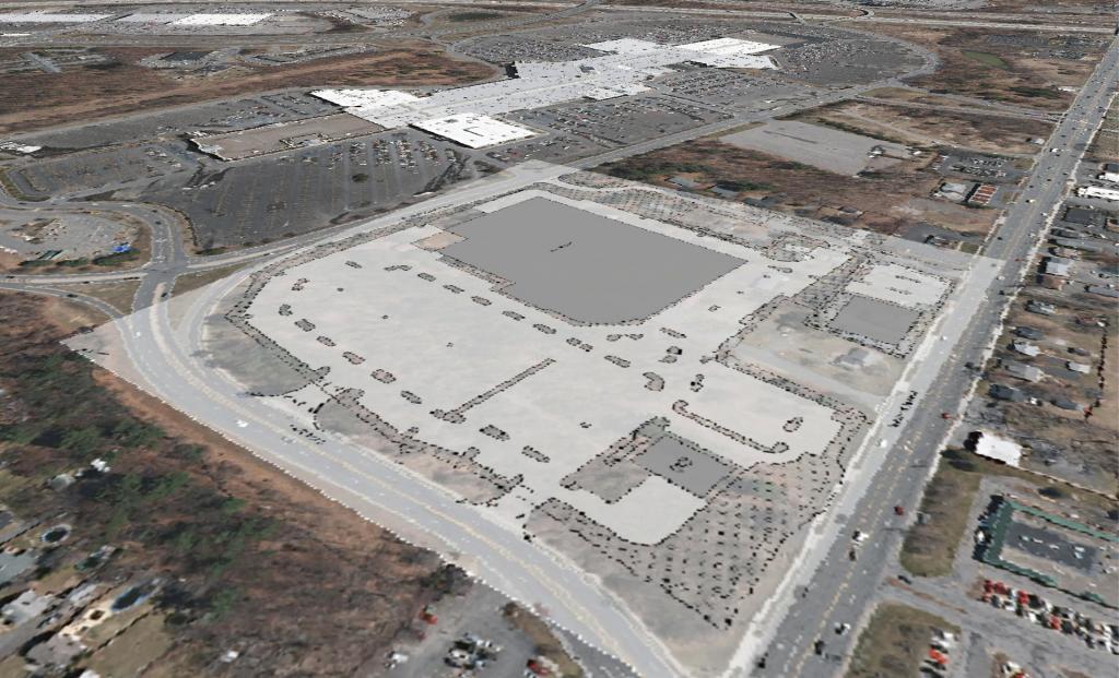
Back in 1960, there was a cloverleaf at Fairport Road that was removed in more recent years to allow Monroe Community College to expand and eliminate a dangerous intersection.
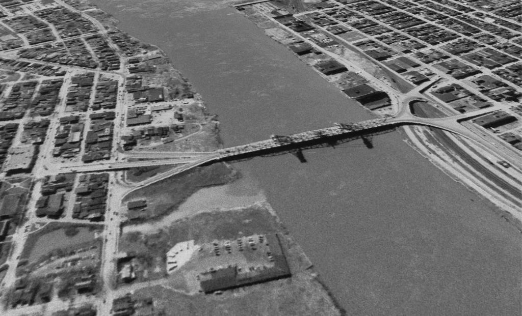
From an 1952 aerial photo of Albany.
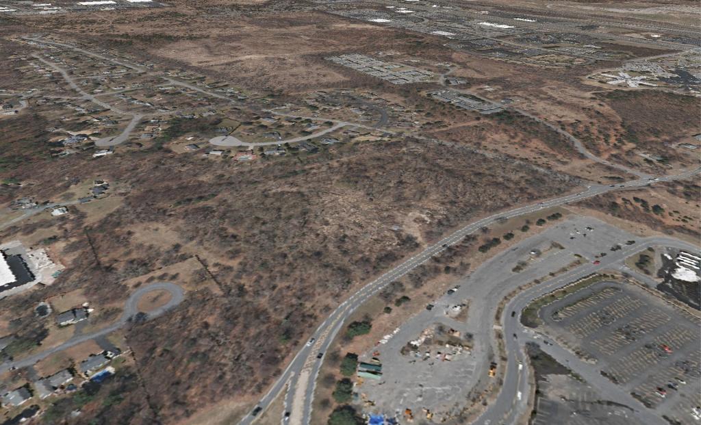
This illustration with the aerial photo shows why it's such an important connector parcel to the rest of the Albany Pine Bush Preserve.