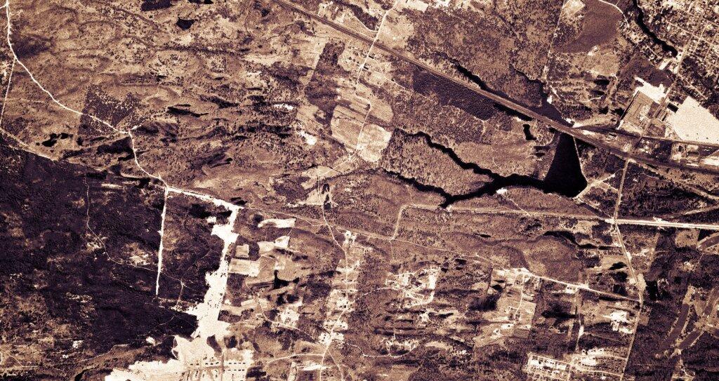
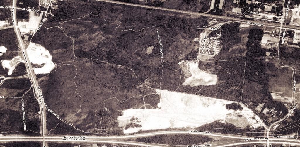
1952 Albany Pine Bush
This shows the largely unbroken land of the Albany Pine Bush that would be heavily developed over the next two decades.
This shows the largely unbroken land of the Albany Pine Bush that would be heavily developed over the next two decades.
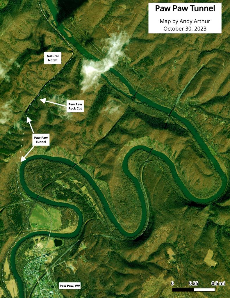
Here is an aerial photo of the Paw Paw Tunnel.
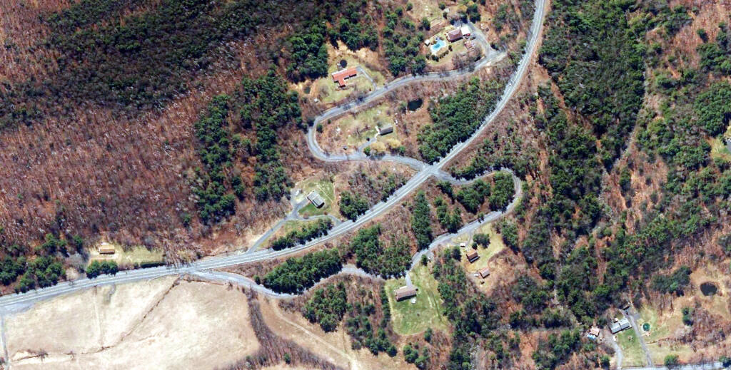
The original Letter S looked a lot like a giant letter S. I wasn't sure if it was always there, but I confirmed from the 1952 satellite photo that the old routing was still very existent going a while back.
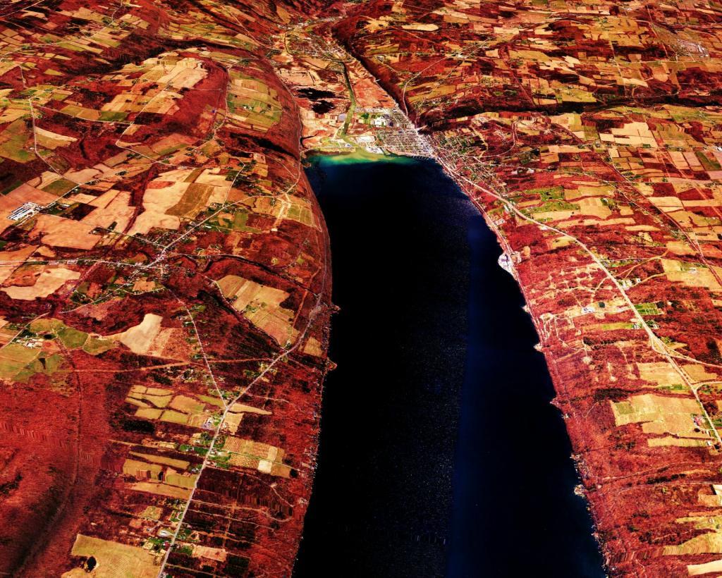
Looking south towards Watkins Glen and Montour Falls, and the narrowing gorge as it winds upwards as it heads south to Elmira.

While the plastics and nitrogen plant in Fuera Bush were a later addition, much of the village today is similar to years past.
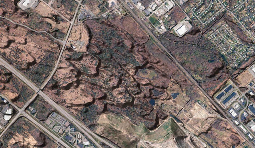
The East Karner Barrens fifty years ago still look much the same as today due to decades of fights by community activists. Trails are the contemporary routings.