Search Results for: "Map:" Rain
Beaver Kill in Albany
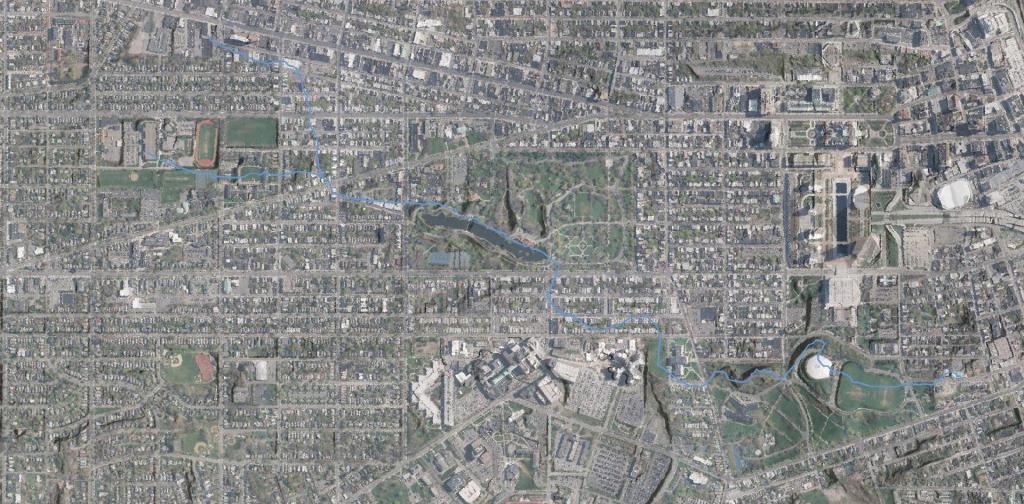
Today if you went Downtown you would be hard pressed to find much of the Beaver Kill or Beaver Creek. Most of it is buried in the Big C Pipe, although they are proposing to daylight part of it in Lincoln Park during the coming years. Probably the best place to see it would be in what is now Washington Park Lake.
Data Source: 1866 Beers Map of Albany from the New York Public Library, georefrenced, traced and overlaid on a contemporary aerial photo and LIDAR hillshade.
Dormansville Builidngs
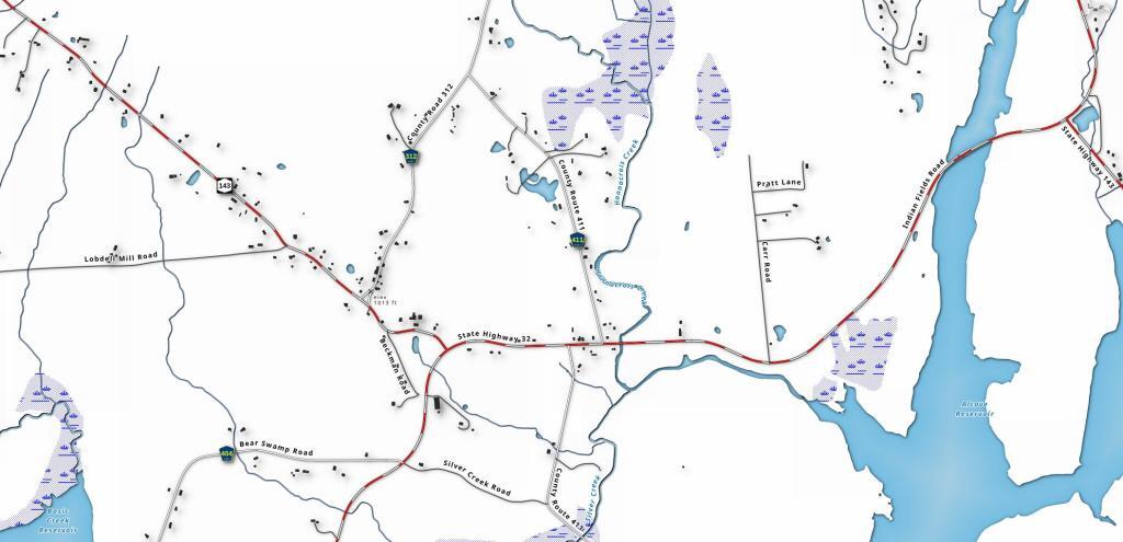
I grew up in Dormansville. The other day, I was looking at the Microsoft Buildings Footprint file, noticing how many buildings were in my rural neighborhood -- it's rural but not that rural. Certainly too many neighbors for comfort in my book, but that may go with the territory of being relatively close to a mid-sized city.
Western Finger Lakes
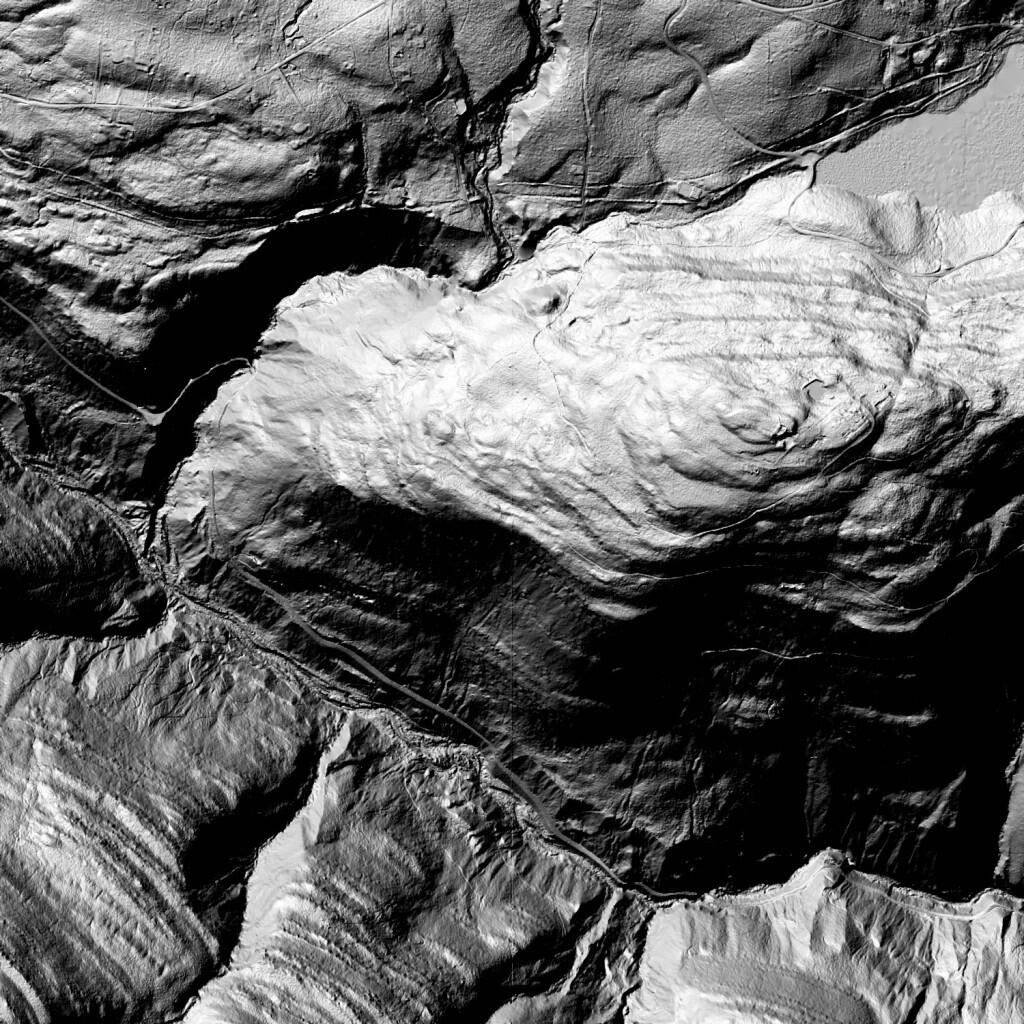
Hillshade Of South Mountain
As natural processes go, humans are one of the most notable on how they have re-shaped the surface of the earth. Graded surfaces, such as roadways and carriageways are clearly visible on this LiDAR Hillshade along South Mountain and the Palenville Clove of the Catskills. Old carriageways, long abandoned or converted into hiking trails might not be visible on normal aerial photography, but still show up on this hillshade of the landscape. Zoom in and take a careful look at this image.
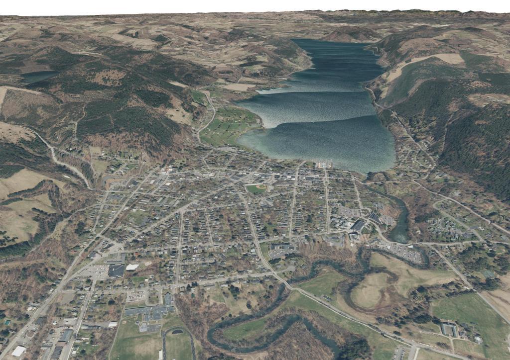
Otsego Lake – Cooperstown
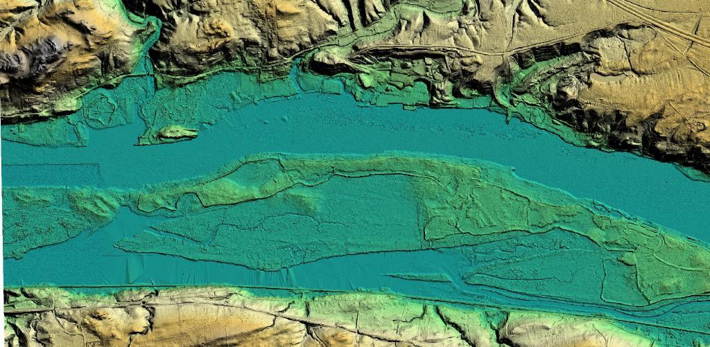
Schodack Island State Park LiDAR
I thought that Shodack Island would have some very fascinating LiDAR terrian, built on river spoils between the high hills along the Hudson River Valley, and I certainly wasn't disappointed when I rendered the data.
