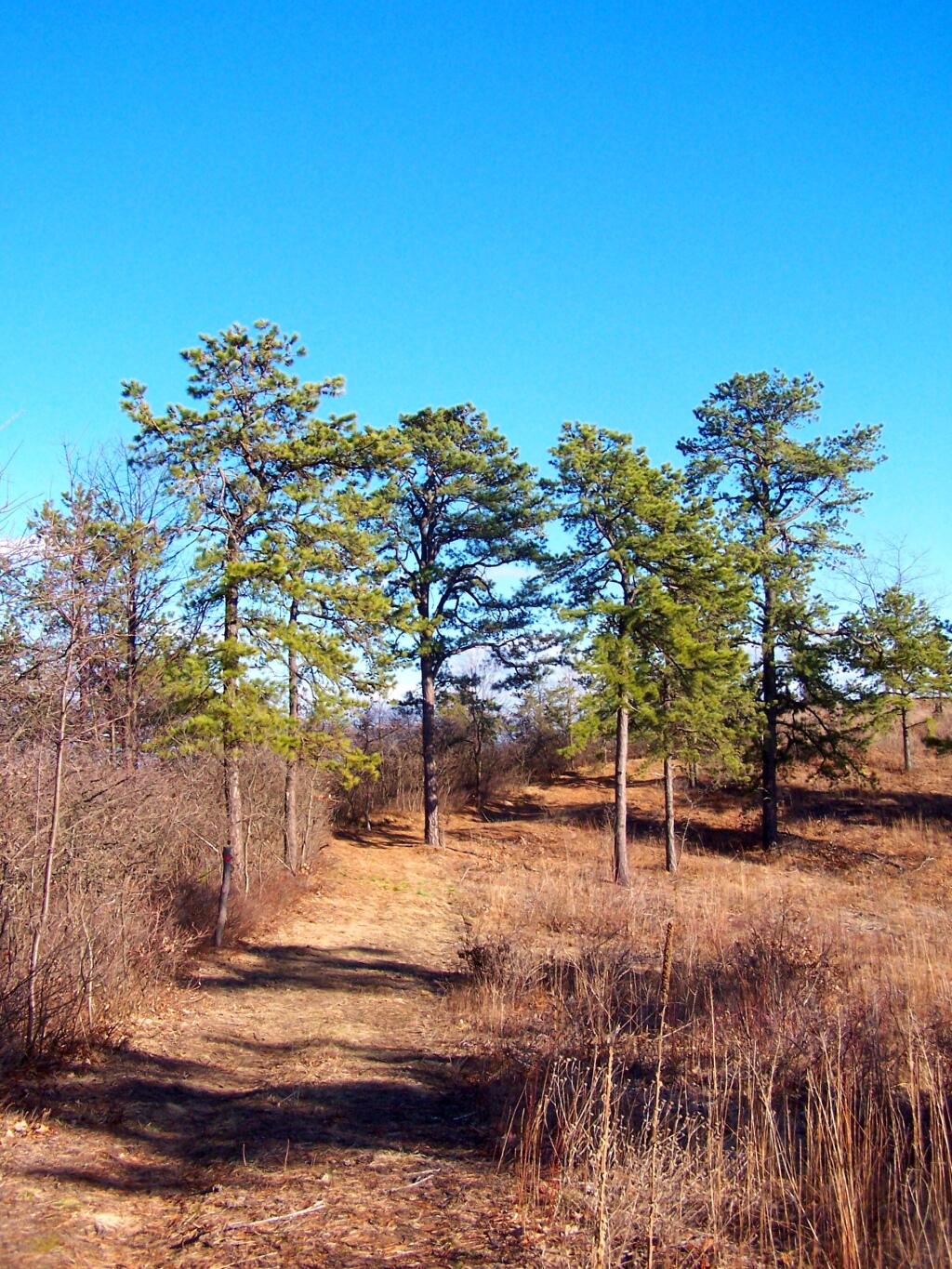
Recently, the Albany Pine Bush underwent several controversial changes to trail system that included closing off most interior trails, with a preference to route trails on the outskirts of the property along other right-of-aways.
While this decreases the user experience, the argument presented by commission was to reduce hiker use and increase the virtue of wildlife habitat. Sportsmen with licenses are free to continue to traverse the land freely, however the general public is restricted to these trails.
One of the biggest changes was the over milage of trails at the preserve has increased greatly, with better connections to many of the nearby communities, at least to the extent that public right aways allowed such connections. While trails in the western portion of the Albany Pine Bush are not yet built, connections from Schenectady all the way to Rennselear Lake are planned.
For the sake of the current map, I only included parcels that the Pine Bush Commission owns or are public Right-of-Ways or public Roadways. Some private parcels, such as the Albany Rapp Road Landfill Trail, are a long way off into the future, so the connection to Rennselear Lake from more westerly portions of the Pine Bush are further off.
Now let’s take a look at specific areas…
East Barriens / Commission Headquarters.
The trail along Vista Dune remains (Blue Trail), as do parts of the perimeter trail, but along the easterly portion of this area, the new trail runs much closer to the closed Greater Albany Landfill, and will eventually include a connection over the landfill to Rensselear Lake.
Old Trails …
New Trails …
The White “Shortcut” Trails are removed, replaced by a major loop consisting of the Red and Yellow Trails, with a portion moved closer to landfill to avoid Karner Blue Habitat.
Blueberry Hill.
Removed are several of the loops in favor of bigger loops and more mileage in other parts of the preserve.
Old Trails …

New Trails …
West Barriens and Kiakout Kill.
Some of smaller trails were closed, but for the most part a large expansion to trails in this area.
Old Trails …
New Trails …


