Southern Adirondacks 📍

📽️ Videos

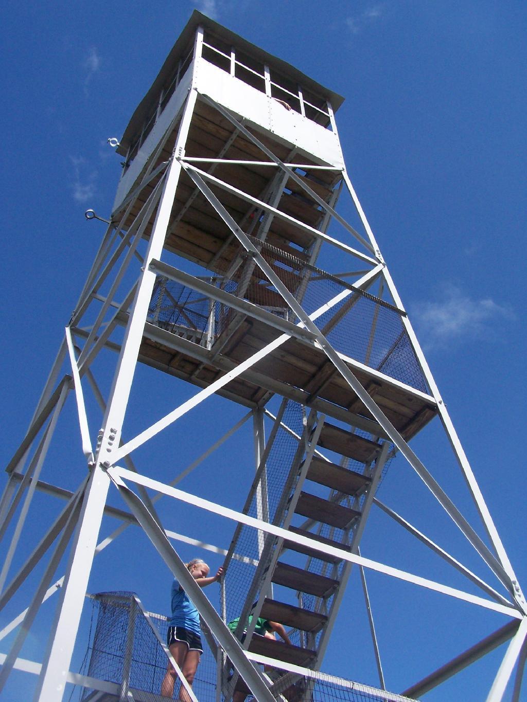
Rondaxe Firetower

Click below to download or print this map up.

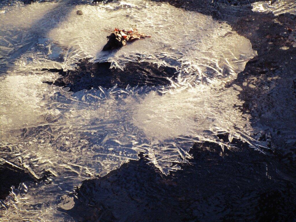
 Ice Sheets

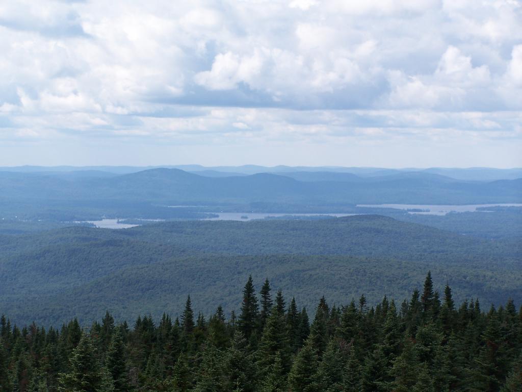
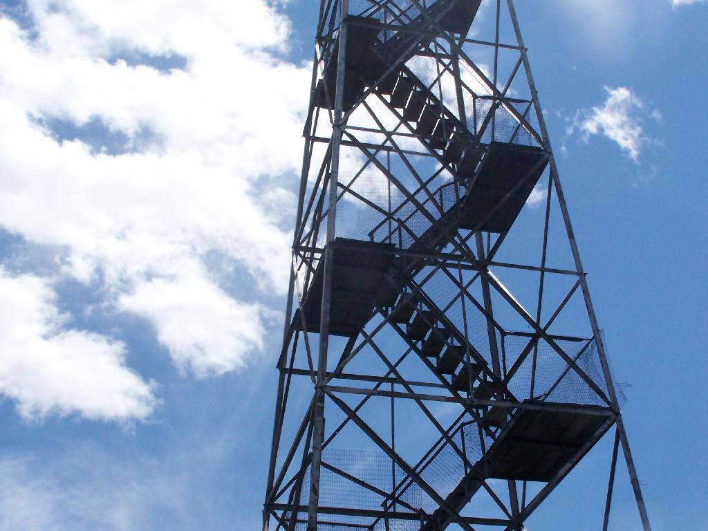
Rondaxe-Bald Mountain Firetower.

Rondaxe-Bald Mountain Firetower

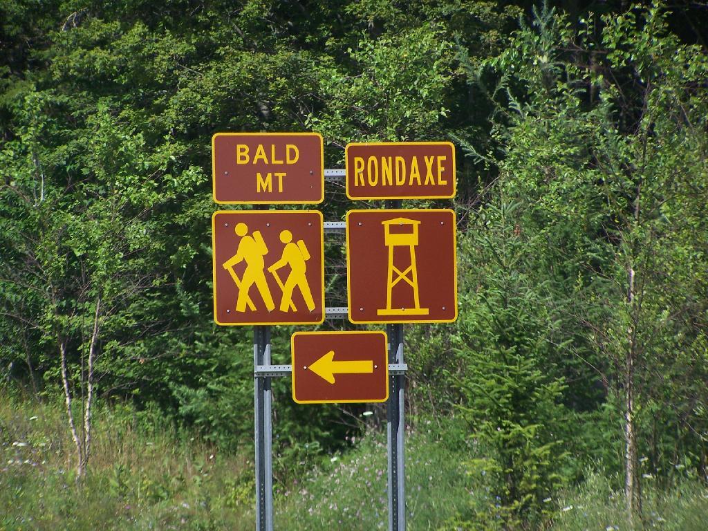
Most of the mountains and pull offs in the Adirondacks are very well signed, complete with brown and yellow DOT reflective signage.

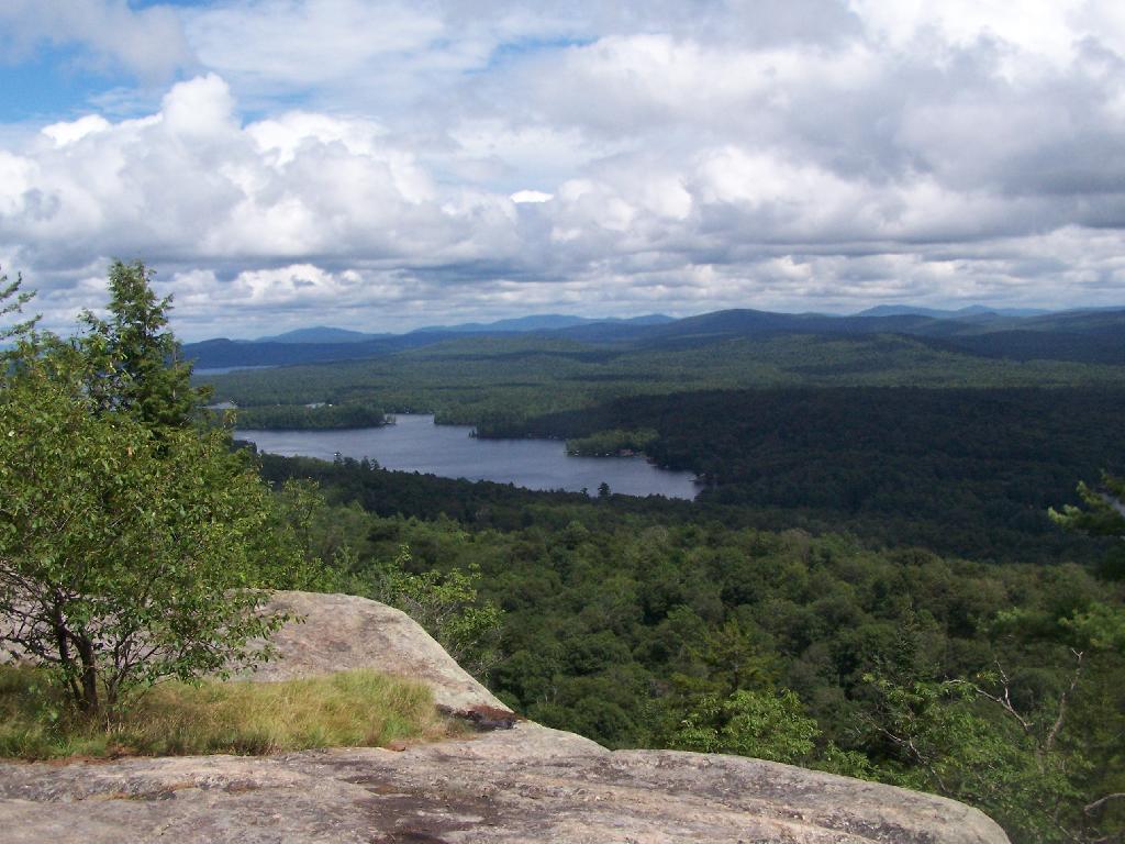
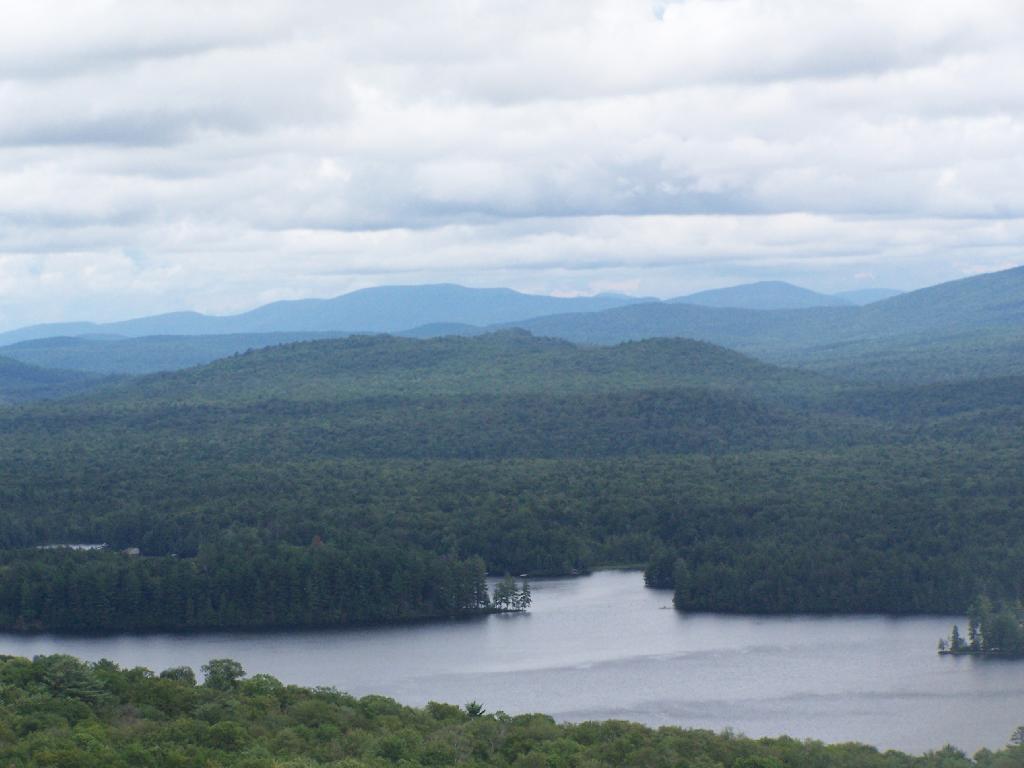
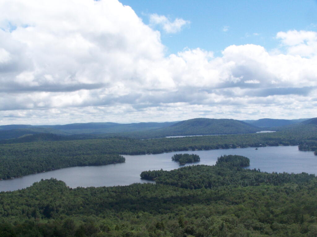
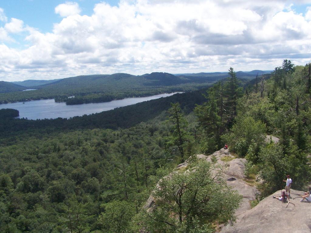
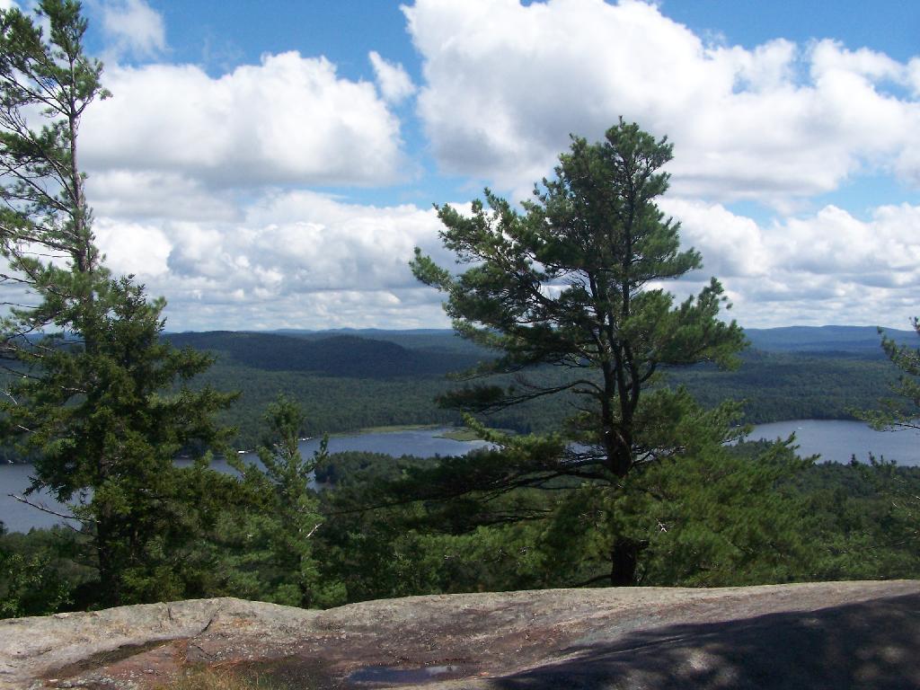
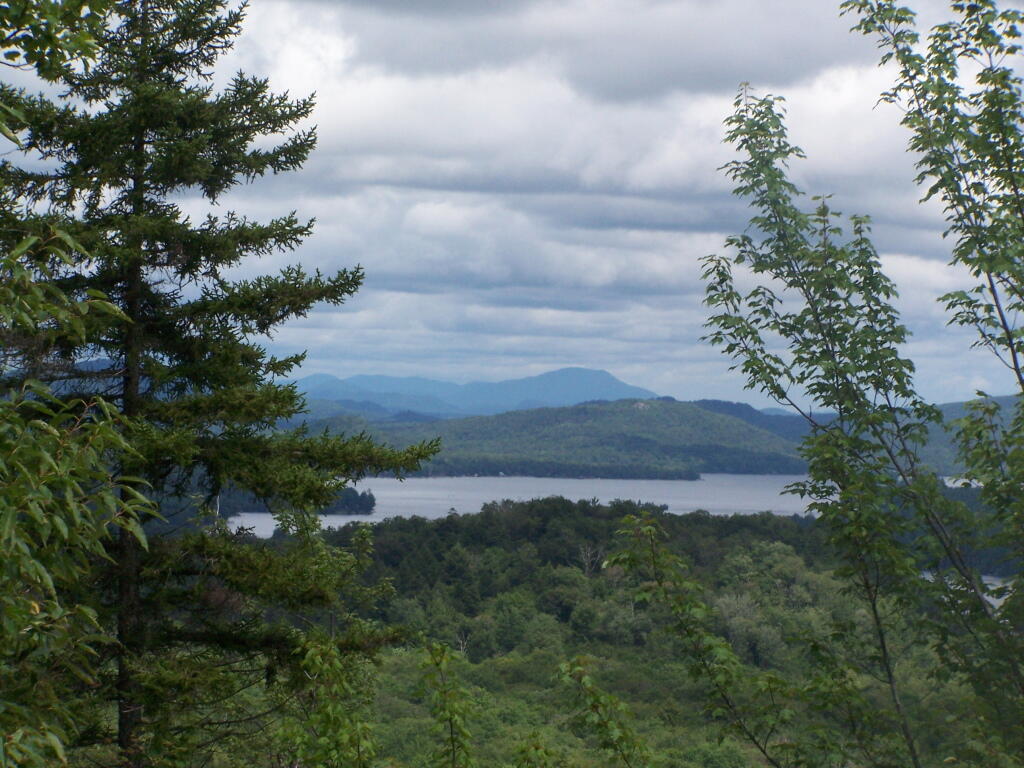
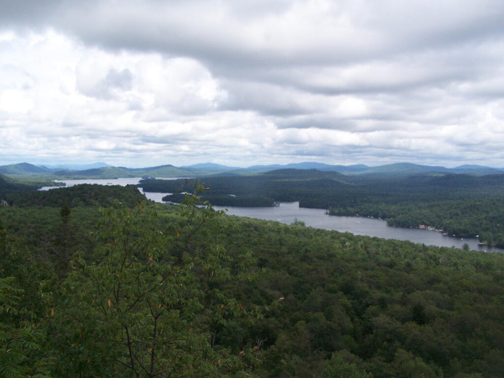
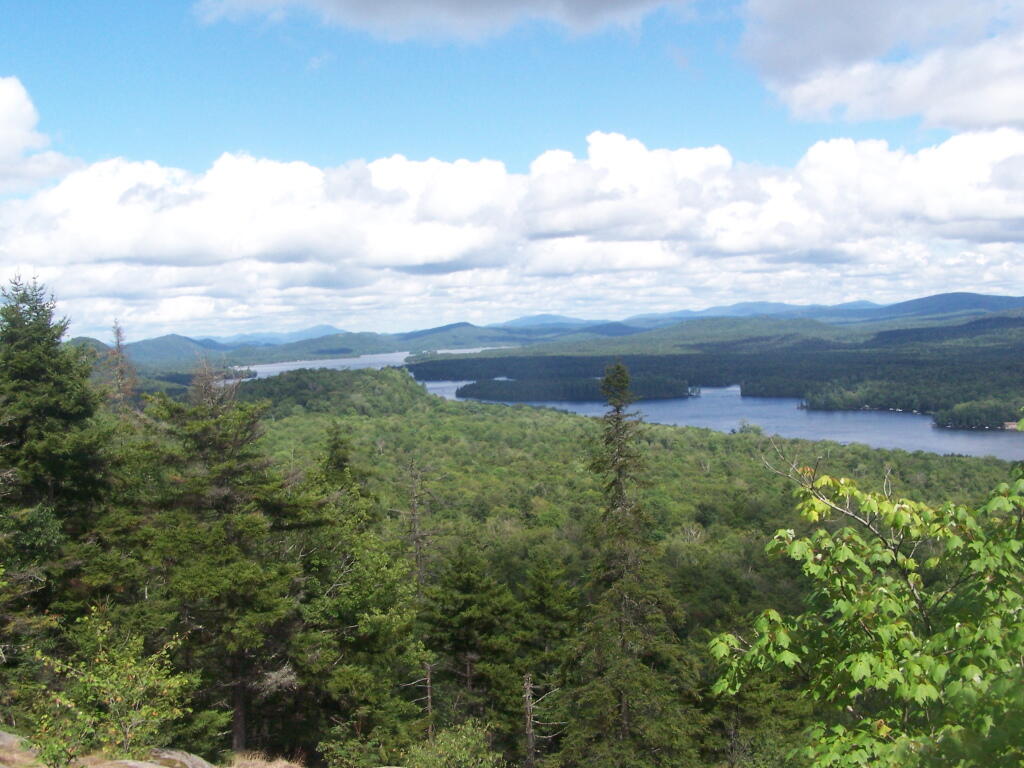
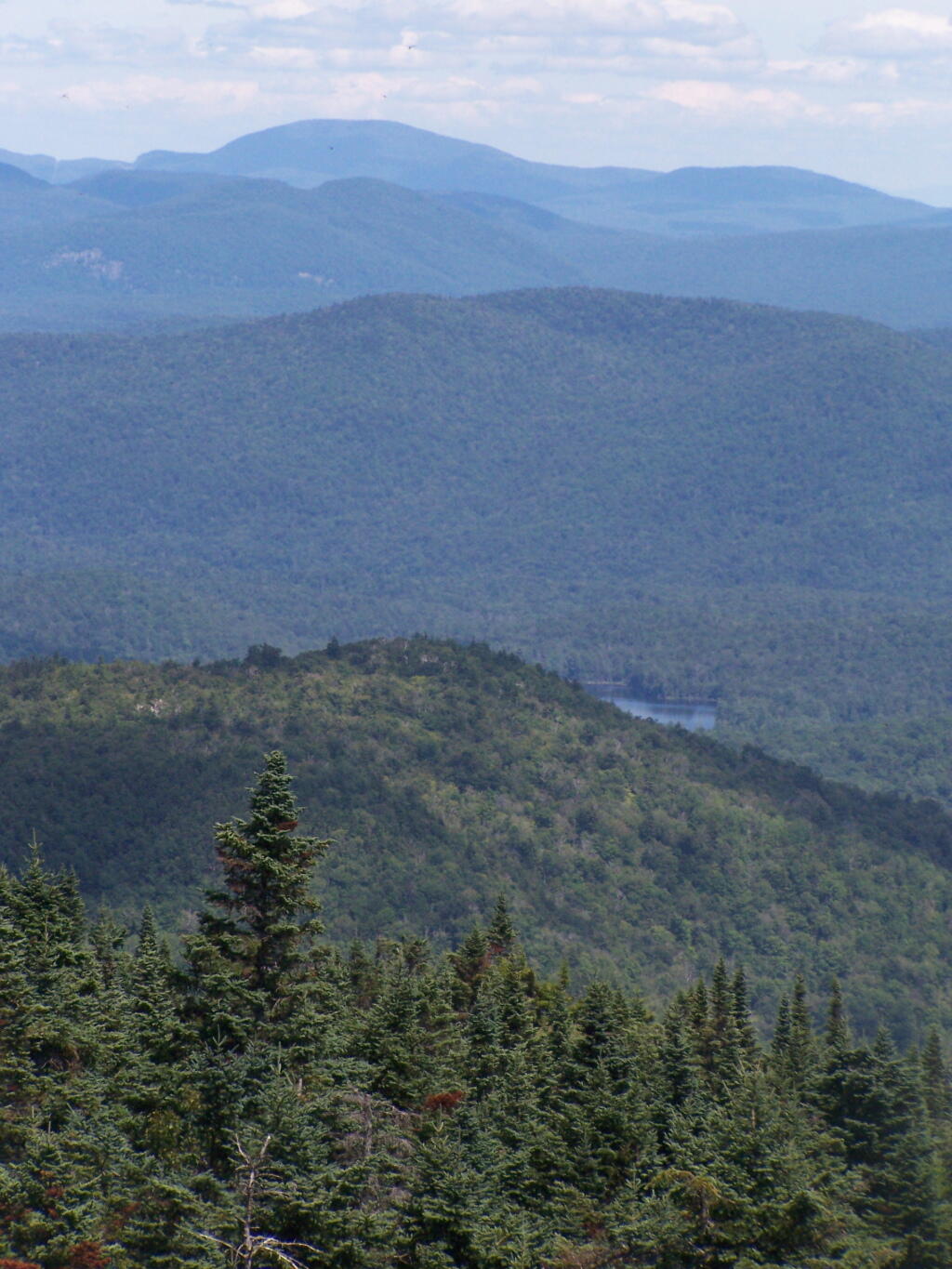
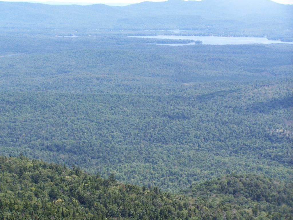
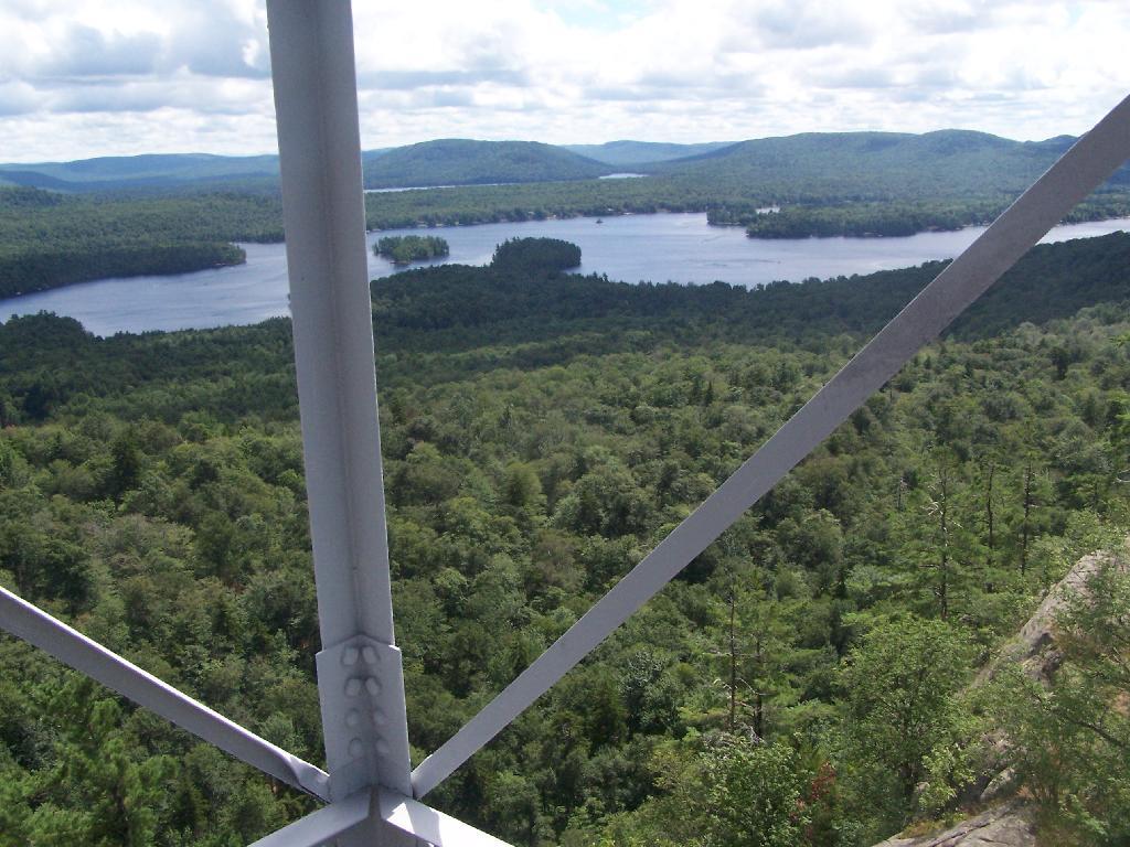
Fourth Lake.

Fourth Lake and Plains Behind

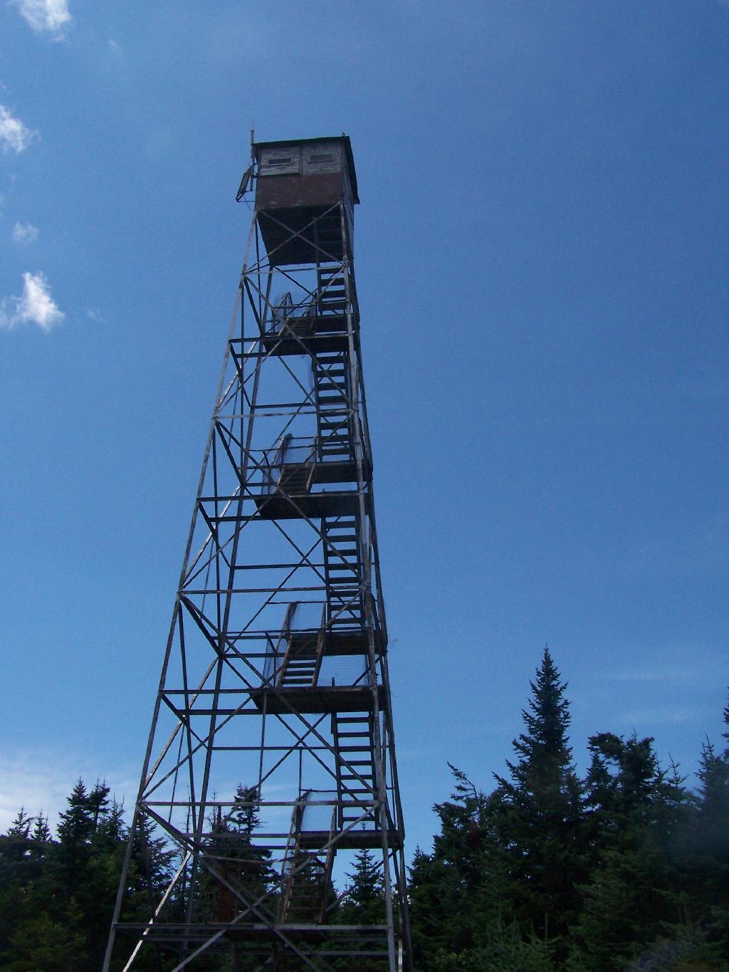
Rondaxe Tower.

Rondaxe Tower

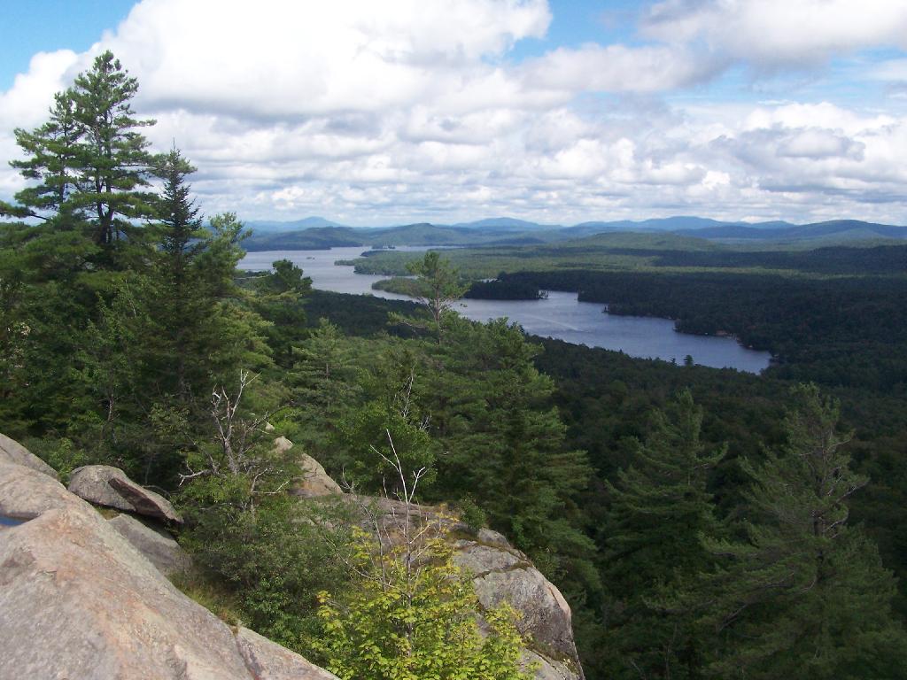
Fourth Lake and Plains Behind.

Fourth Lake and Plains Behind

Before It Cleared Out.

Before It Cleared Out

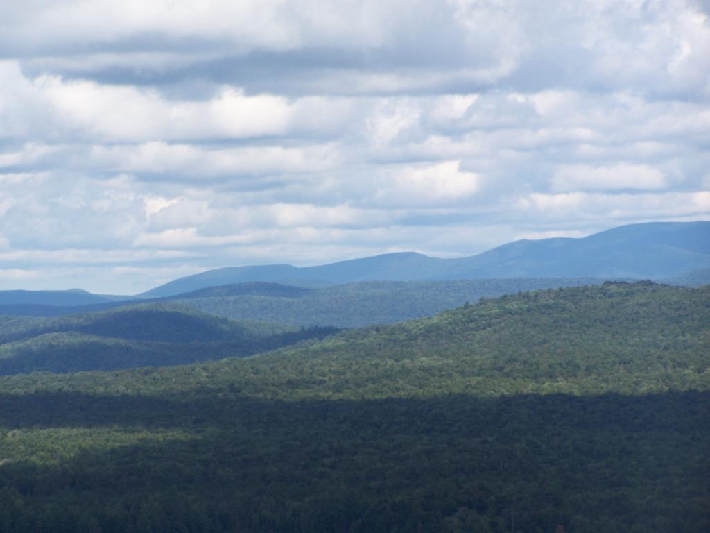
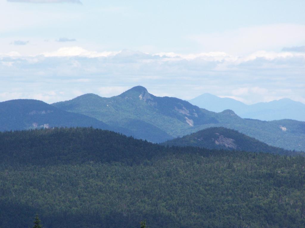
East from Rondaxe.

East from Rondaxe

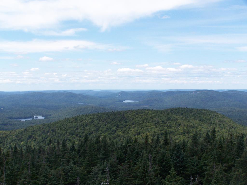
North.

North

Popular Tower.

Popular Tower

First Lake.

First Lake

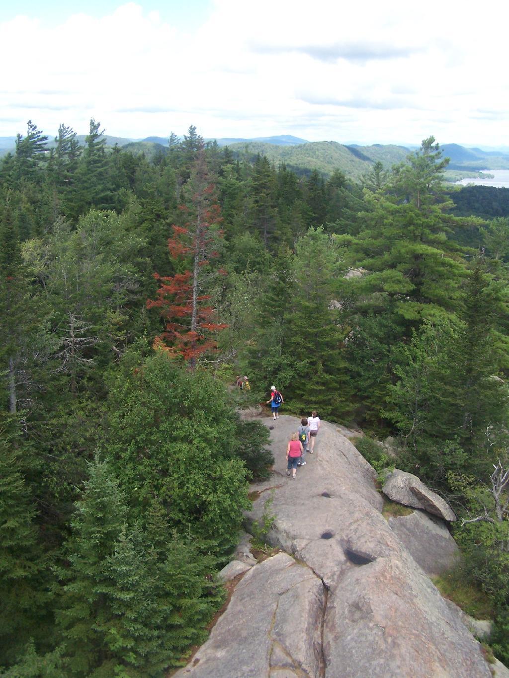
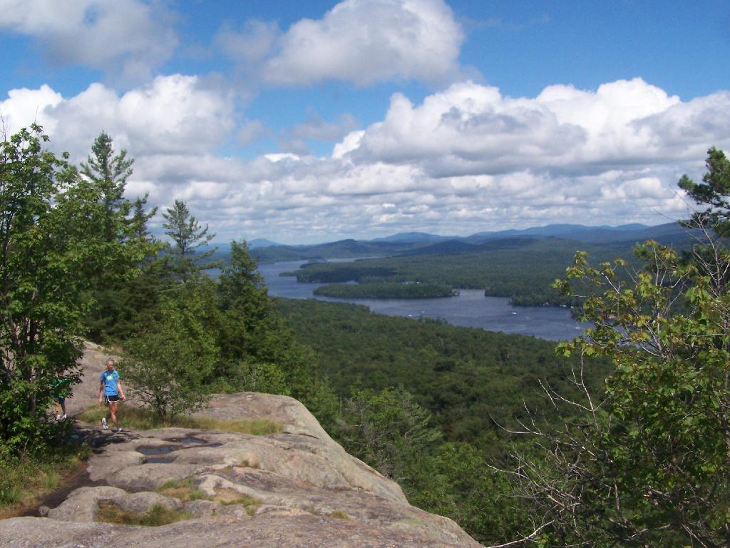
Hikers.

Hikers

Bald Top of Mountain.

Bald Top of Mountain

Corner.

Corner

Looking at First Lake.

Looking at First Lake

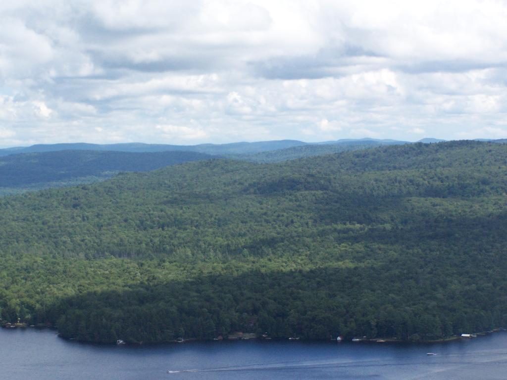
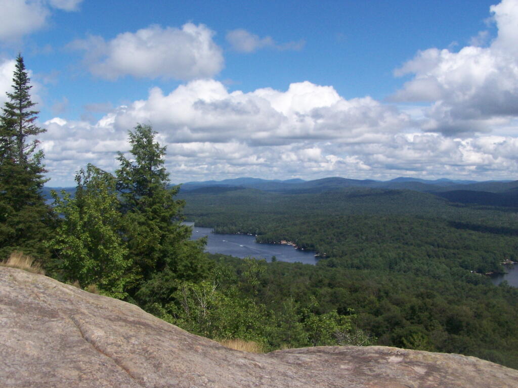
Fourth Lake.

Fourth Lake

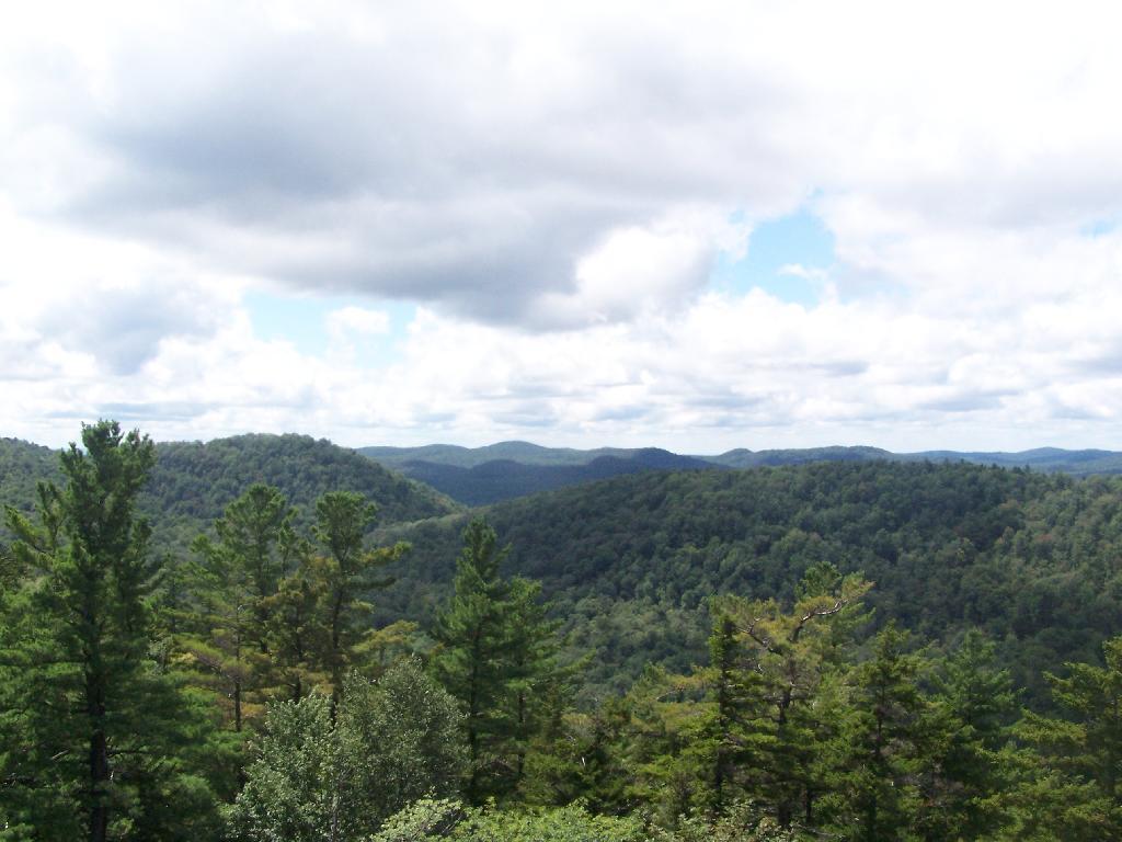
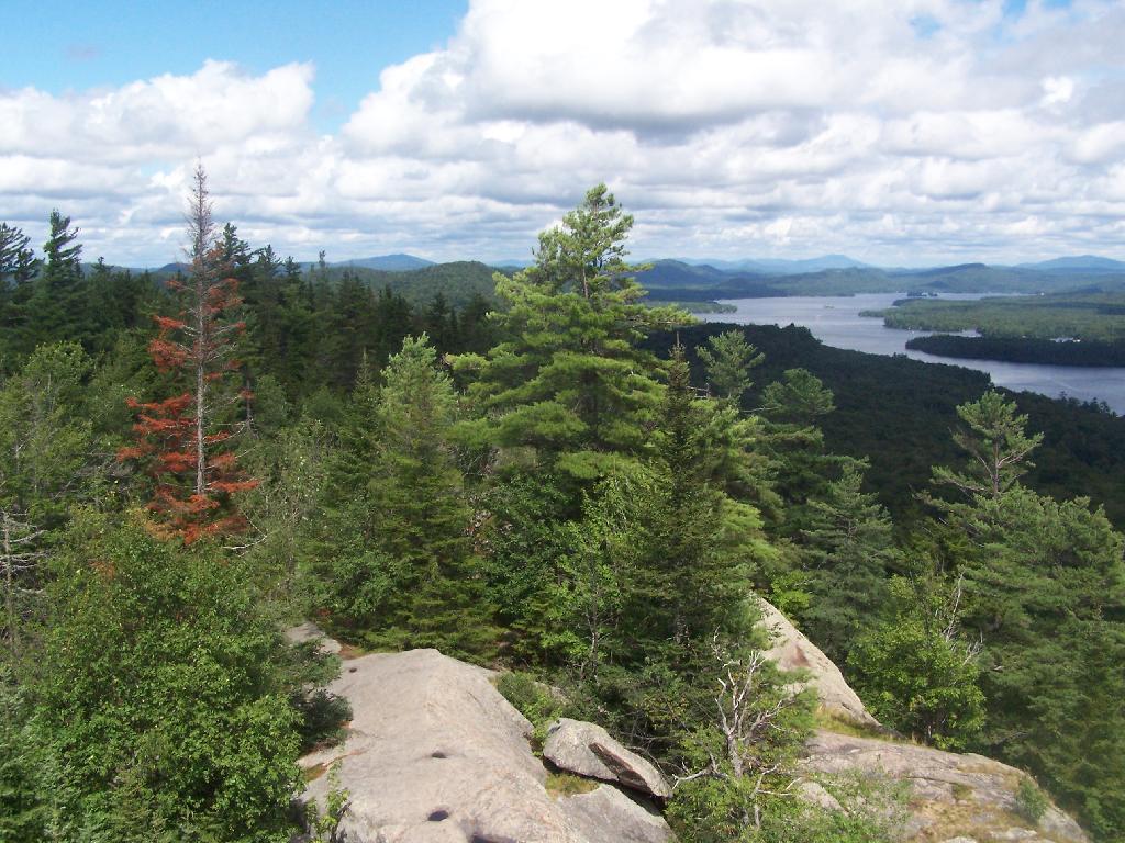
Ridge.

Ridge

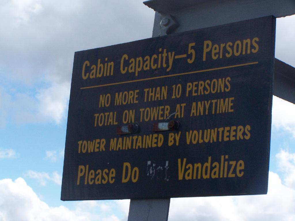
Please Do Vandalize.

Please Do Vandalize

Lakes Along Trail.

Lakes Along Trail

Hikers Enjoy the Purty Lake.

Hikers Enjoy the Purty Lake

Bald Ledge.

Bald Ledge

Clouds and Trees.

Clouds and Trees

Untitled.

Untitled

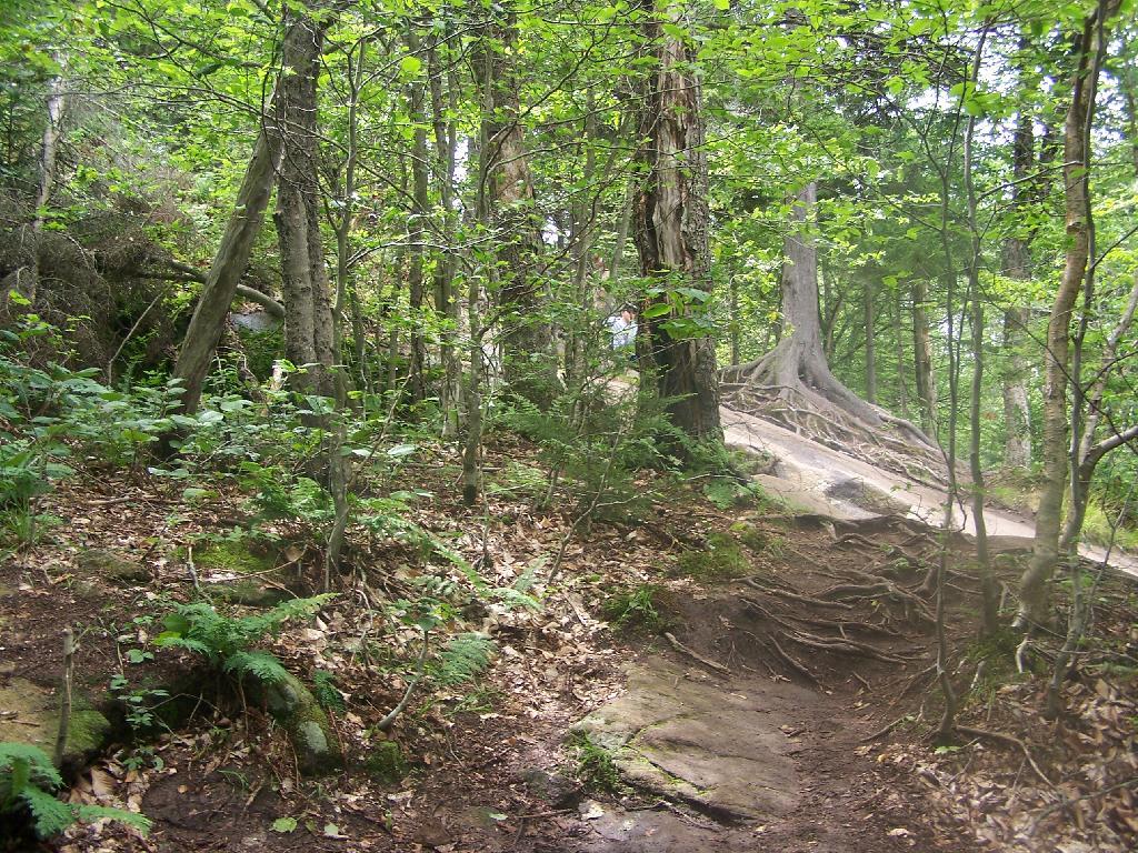
Hiking Up Bald Mountain.

Hiking Up Bald Mountain

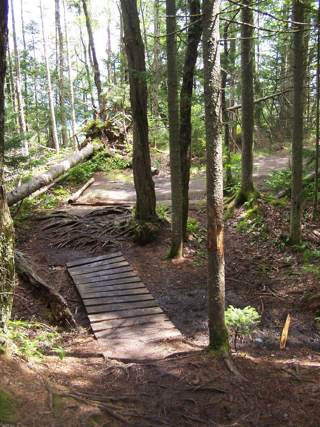
Foot Bridge.

Foot Bridge

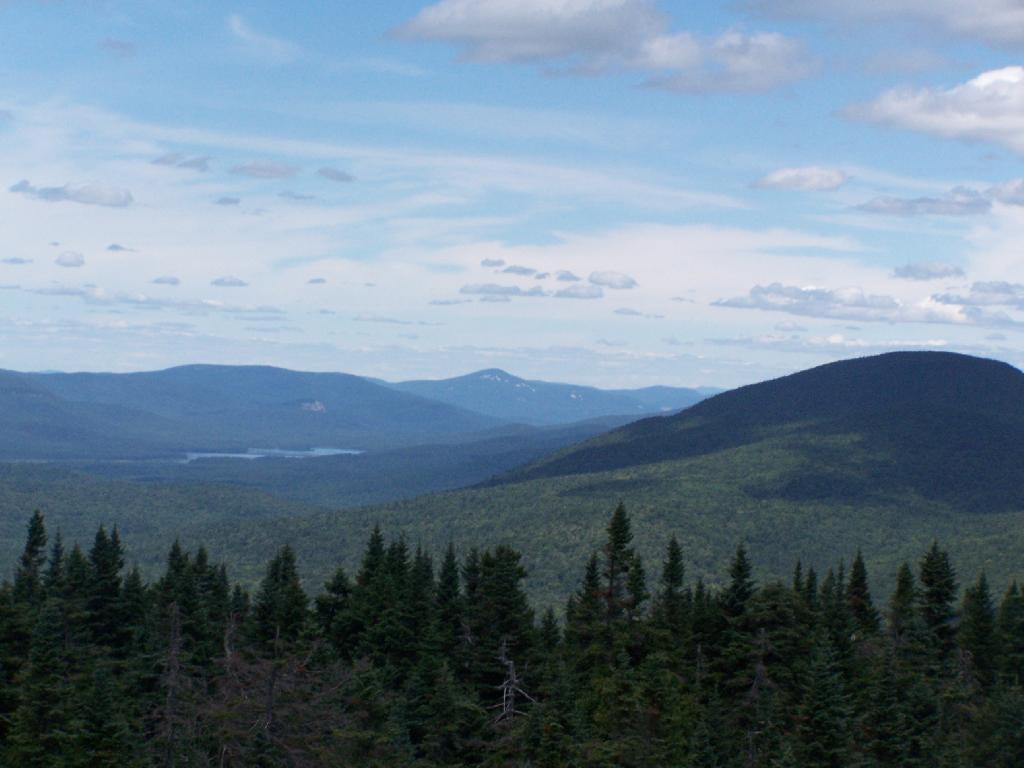
Towards Cascade Mountain.

Towards Cascade Mountain

Stormy Clouds.

Stormy Clouds

Renovated Tower Base.

Untitled [Expires July 27 2024]

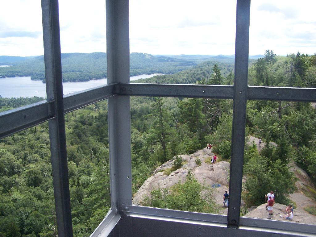
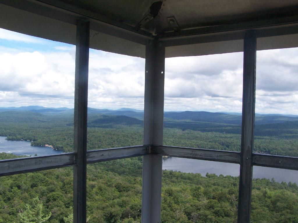
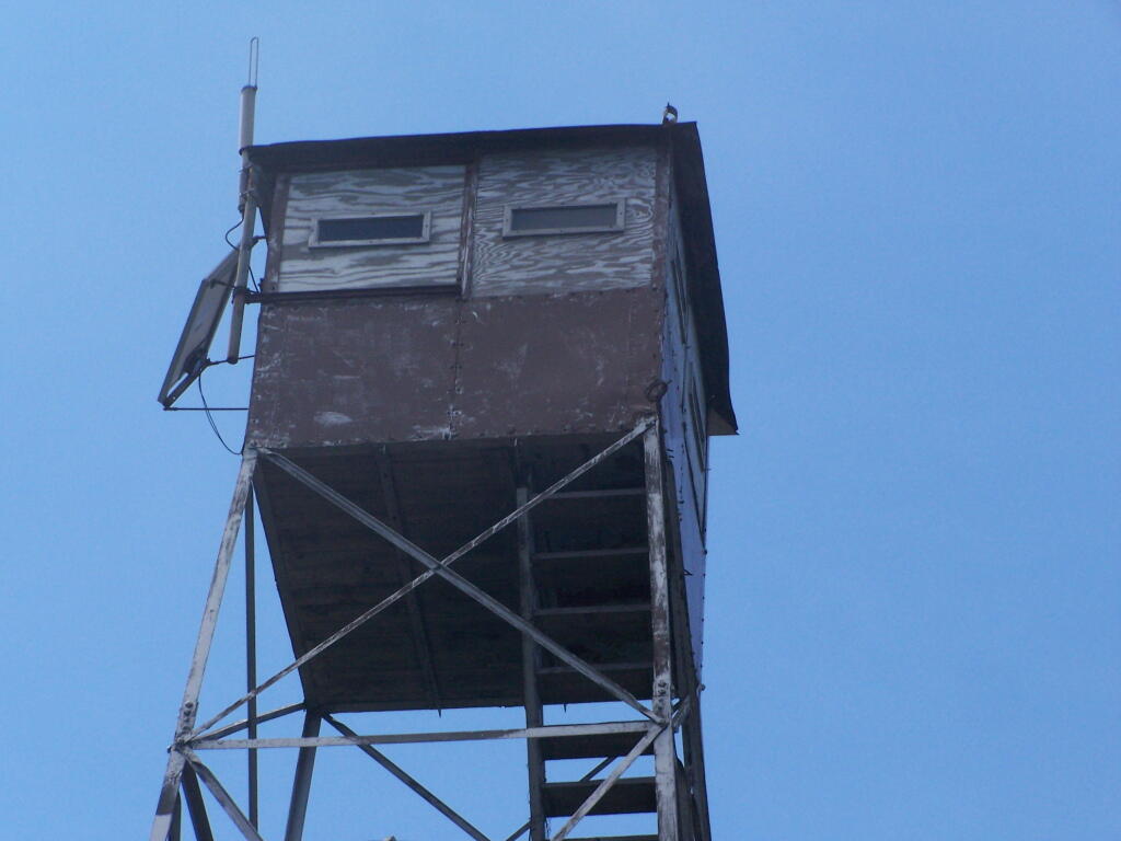
Tower Windows.

Tower Windows

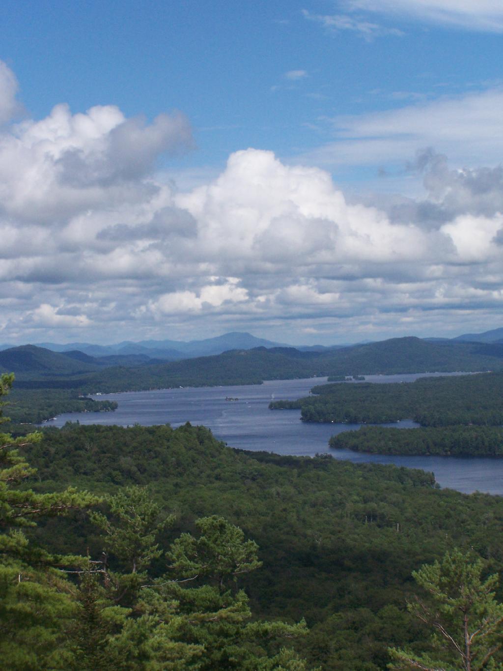
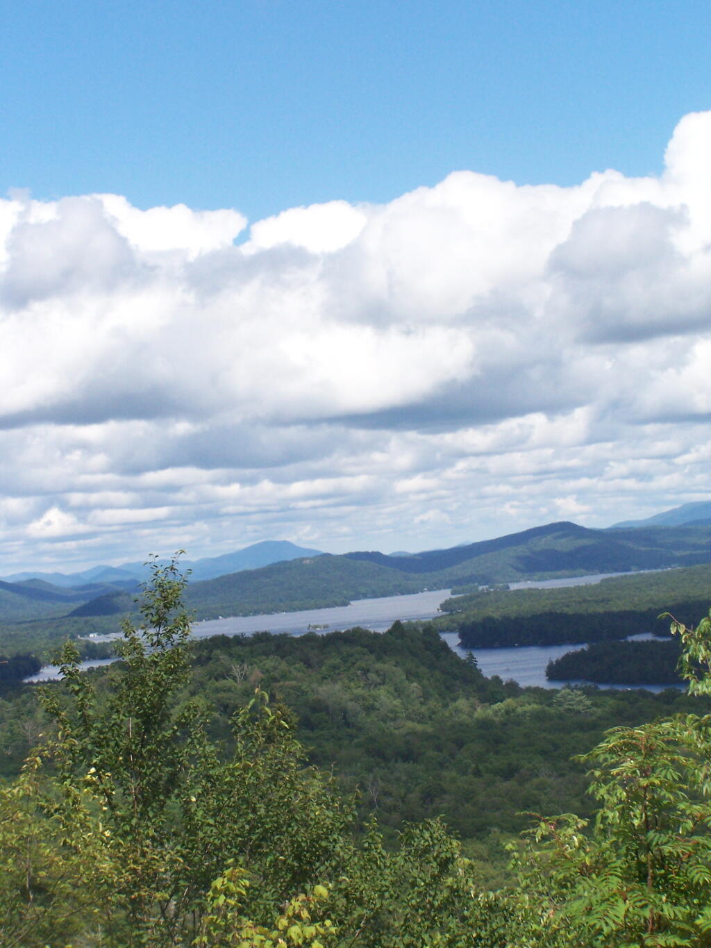
Fourth and Fifth Lakes.

Fourth and Fifth Lakes

Map: Severence Hill Trail
Map: Gilman Lake

Ferris Lake Designated Roadside Campsites

The most popular area in Ferris Lake Wild Forest is to camp along the 20-mile long Piseco-Powley, a spectacular seasonally-gated, state truck trail. Other roads in area provide more remote roadside camping opporunities and are listed below.

Campsite North of Powley Place

The Ferris Lake Wild Forest Unit Management Plan mentions the following about Roadside Camping in the area…

“The FLWF provides a variety of different camping opportunities. The interior portion of the unit contains numerous primitive tent sites that are located along the shores of the more popular lakes. These sites are designated with a yellow camping disk and often contain a fire ring. There are also a number of car accessible sites located along secondary access roads, such as the Powley-Piseco Road, G Lake Road, Mountain Home Road Extension and Edick Road. Most of these sites can accommodate small camper trailers. There are no lean-tos within the unit.”

— NYSDEC Ferris Lake Wild Forest UMP.

Roadside Campsites Designated in UMP.

Road Number of Campsites
Edick Road 2
G-Lake Road 3
Jerseyfield Road 2
Mountain Home Road Extension (Rough Truck Trail Past the Floe) 6
Powley-Piesco Road (Open Late Spring-December)
Northern Hardwoods Section Near Mud Pond
Central Section Near Marshlands of Powley Place
Southern Section Near Potholers
Total: 22
5
10
7

More Resources…

Location of Roads with Camping in Ferris Lake UMP.

Designated Campsites Along Edick Road.

This map is from the Ferris Lake Wild Forest UMP.

East

Designated Campsites Along G Lake Road.

Please note that the roadside campsites are noted by “GLR”. The “GL” sites are traditional primative tent sites, beyond the gated end of G Lake Road, that you have to backpack into. This map is from the Ferris Lake Wild Forest UMP.

Designated Campsites Along Piseco-Powley Road.

These maps are from the Ferris Lake Wild Forest UMP.

 Cascade Lake

Strawberry Moon

Renters vs Population Density - NY Census Tracts

Designated Campsites Along Mountain Home.

This map is from the Ferris Lake Wild Forest UMP.

Betty Brook Road

Plains of East Canada Creek

Campsite Set Back Off the Road

North Up to Piseco-Powley


Map: Severence Hill Trail
Map: Gilman Lake

Pillsbury Mountain Firetower

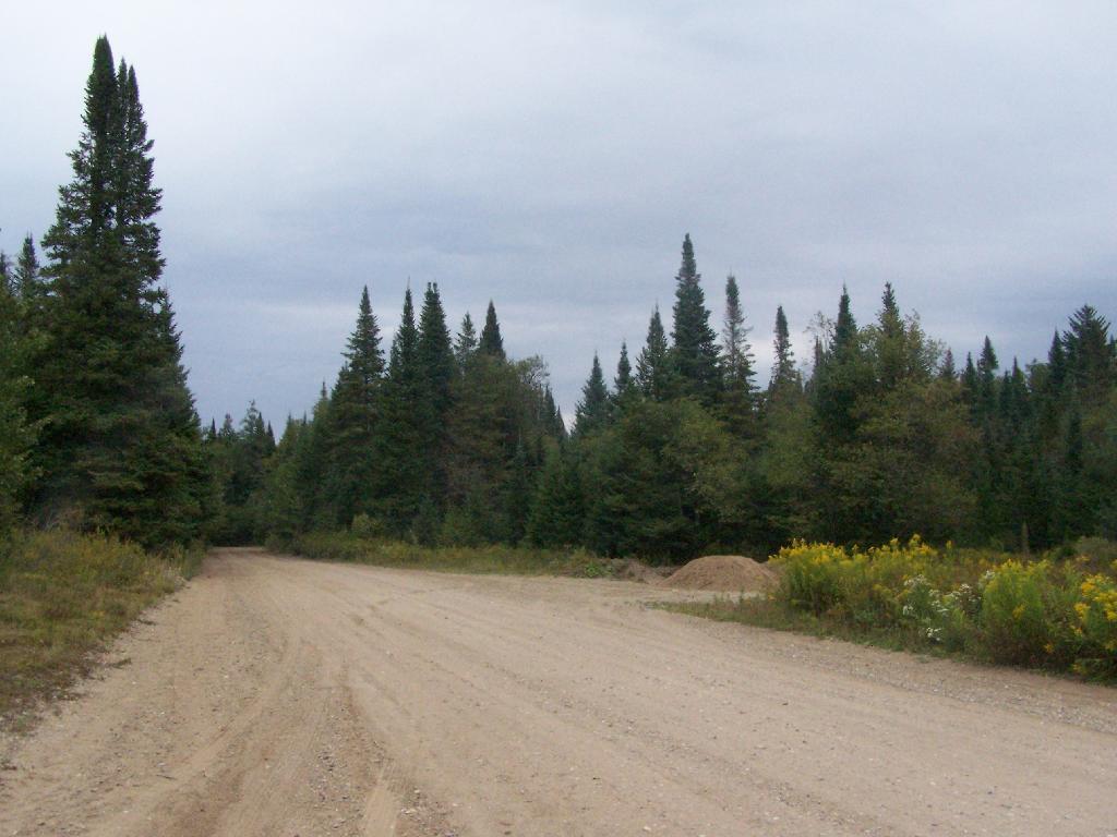
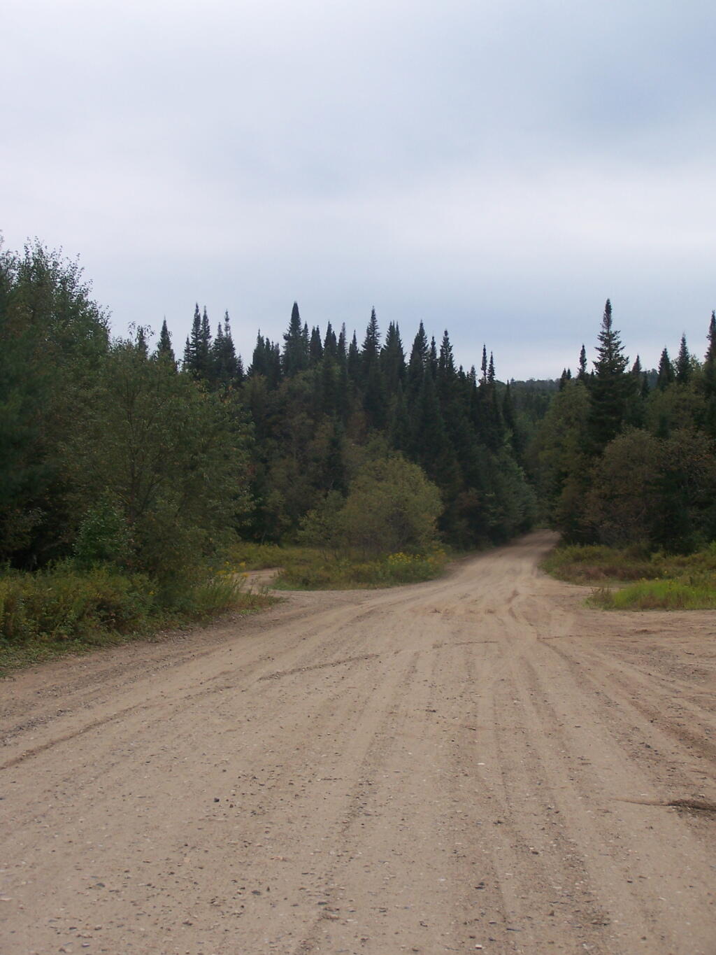
Pillsbury Mountain Firetower is located at the edge of the Jessup River Wild Forest and the West Canada Wilderness. To reach there, you have to drive North of Spectulator, and take about 6 miles of fairly smooth logging roads through International Paper’s Perkins Clearing Easement.

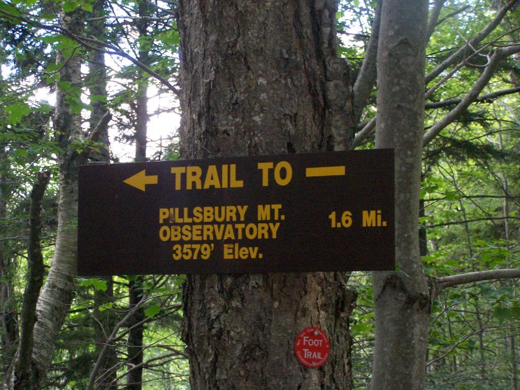
Pillsbury Mountain Sign

Hiking Bridge Across Miami River. Not that th Miami River really deserves to be called a river, but on the trail up the Pillsbury Mountain, its particularly small.

Hiking Bridge Across Miami River

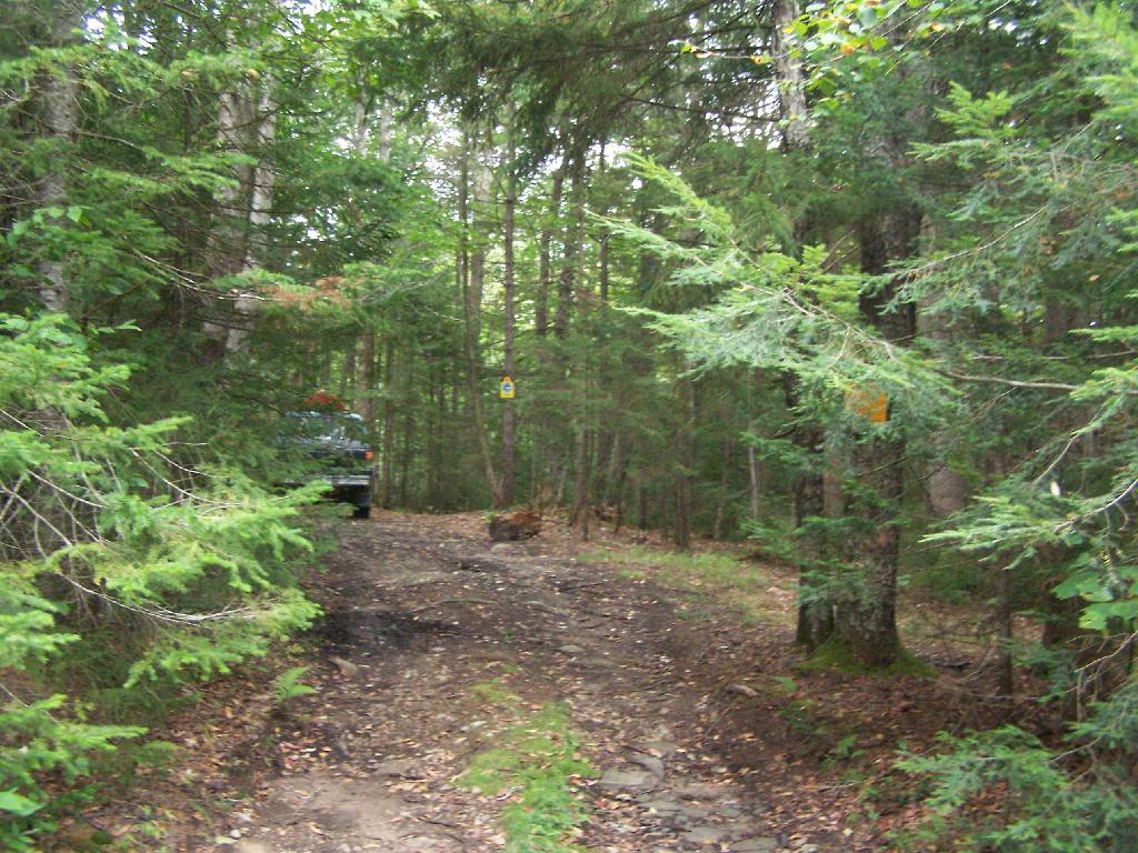
Taking the trail Up Pillsbury Mountain. It’s about two miles long, and not a difficult hike, although you do gain about 1200 in elevation.

Horse Farm Along the Trail

Broken Views Climbing Pillsbury

About a 1/4 mile before reaching the tower, reach marshy and thick boreal forest that the trail passes through, with some re-routes to avoid the muck kicked up over the years.

Often Muddy Trail Atop Pillsbury

Approaching Fire Tower.

Approaching Fire Tower

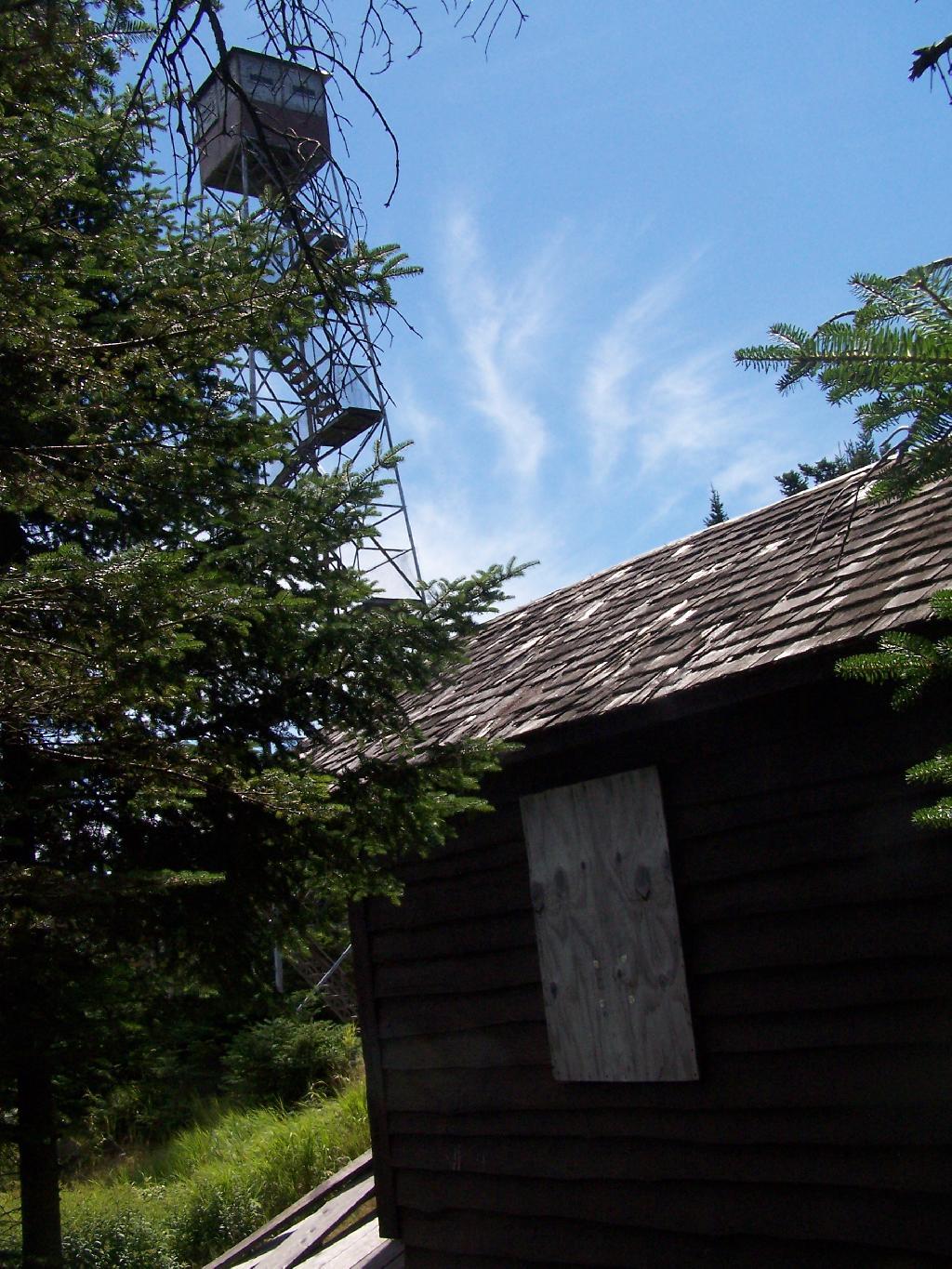
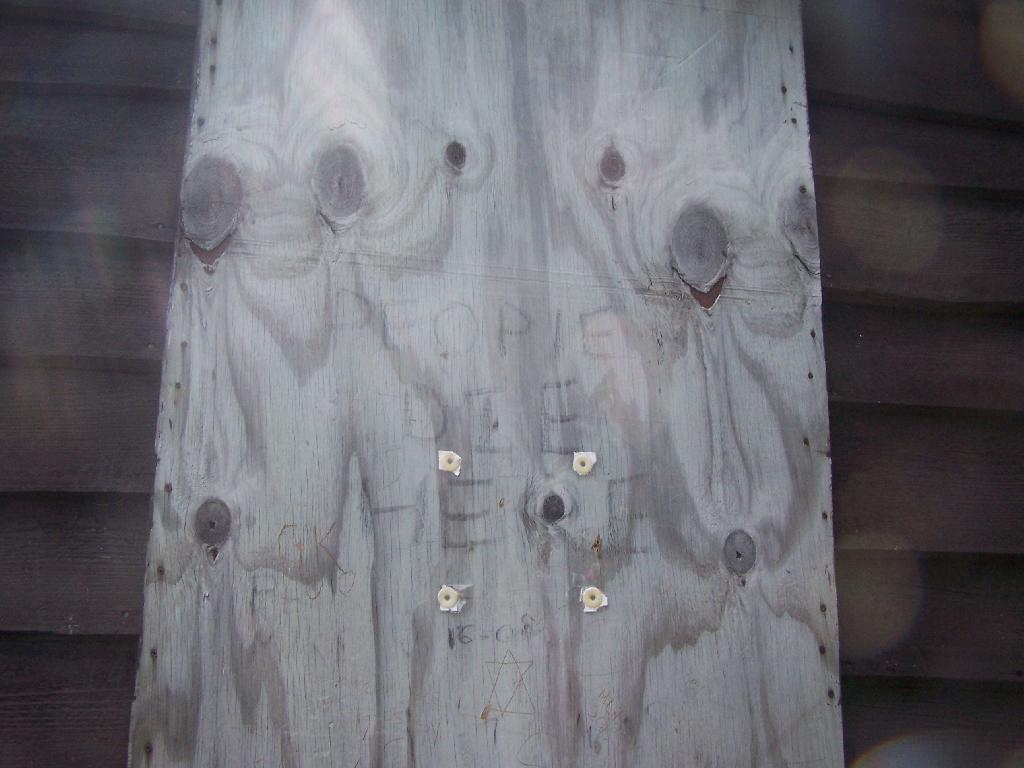
People Die Here. I kid you not, that’s what the cabin says when you first get here. Combined with the creepy fire tower top, it’s kind of neat.

People Die Here

Tower Cabin. That sure looks scary, doesn’t it? Now I understand why people die up here, probably with a secret DEC Forest Ranger, who hides up there, shooting at people he or she doesn’t like. Or maybe not.

Tower Cabin

Coney Island from Shore

The tower is pretty conventional with normal looking landings, a rangers cabin, and a clearing for a helicopter to land in an emergency.

Landings

Fire Place and Clearing for Helicopter Landing

Old Rangers' Cabin

The views from the tower are quite great. Looking east thru the Jessup River Wild Forest.

East

Snowy Mountain to the North. If you look carefully, you can see the tower up top of it.

Snowy Mountain

South towards Lake Pleasant and Spectulator.

Schenectady NY Election Districts

Moose River Plans and West Canada Creek Wilderness from Pillsbury Mountain Fire Tower.

Moose River Plans and West Canada Creek Wilderness

North towards Cedar River Flow and Wakely Mountain. If you look carefully, you should be able to see the Wakely Mountain Firetower from here.

Towards Cedar River Flow

Map of the hike.


View Pillsbury Mountain in a larger map

Map: Green Mountain National Forest North
Map: Green Mountain National Forest South

Wakely Mountain Firetower

On the afternoon of Thursday July 22nd I hiked up to the Wakley Mountain Firetower. The weather wasn’t perfect, but it was still quite popular, passing several hikers and families visting this tower. The views are pretty good, but probably not as good as Pillsbury Mountain or Snowy Mountain to the south. The nice thing is it’s a 5 minute drive from Cedar River Flow and pretty close from Moose River Plans too, and provides a great overview of the Plains.
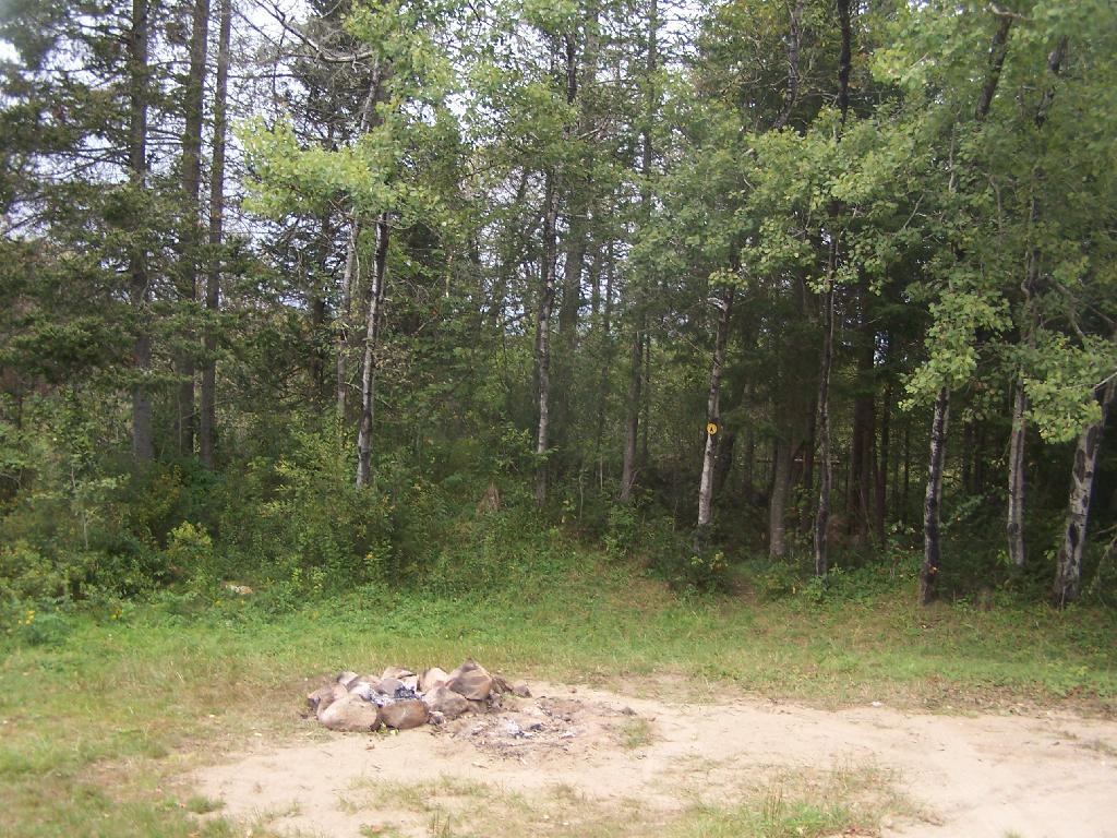
Camp Fire

You can print the above map, by clicking it, to be taken to a high resolution (500 DPI) that will print nicely on a laser or inkjet printer.

When you first start up the mountain, you pass a “Warning! Road Washed Out” sign. This sign is at the parking area for Wakely Mountain, to warn drivers that they won’t get very far on Wakely Mountain Road, since the DEC has basically abandoned it.
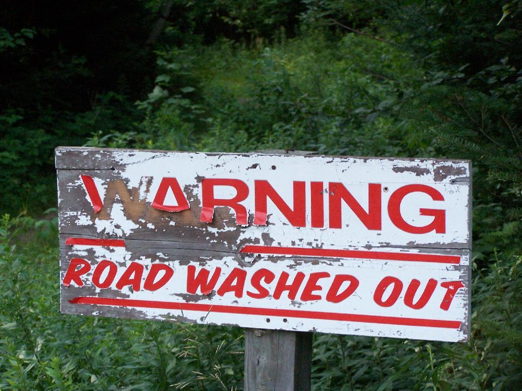
Warning! Road Washed Out

Washed Out Road to Wakely Mountain. I honestly don’t expect the DEC to fix this road, but instead will make people walk the entire 3 miles up the mountain, because that keeps the eco-facists happy.
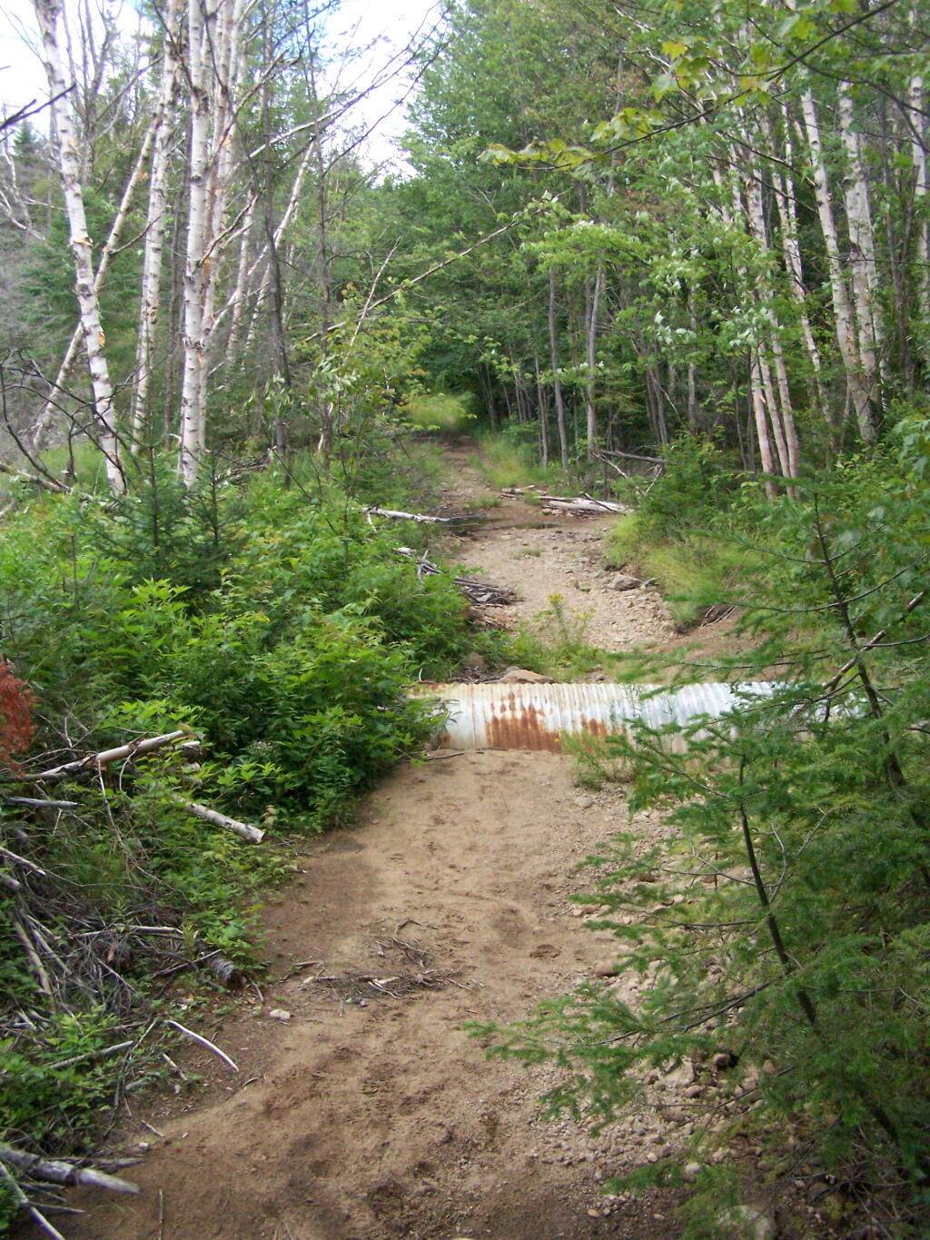
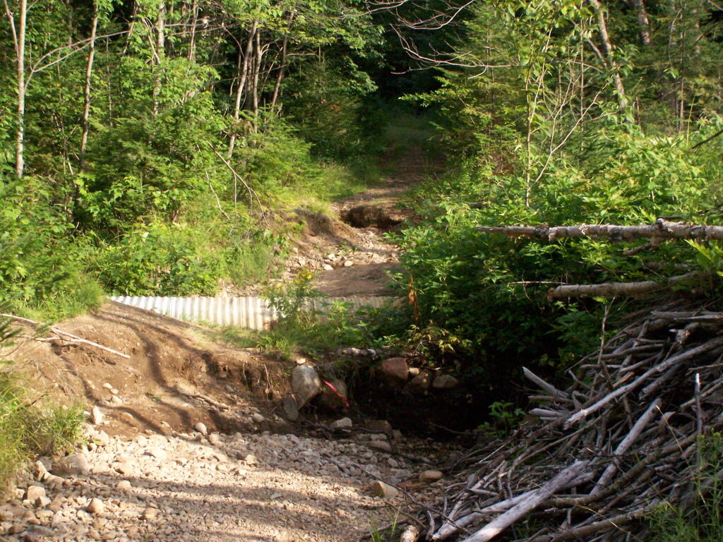
Washed Out Road to Wakely Mountain

Washout on Wakely Road

The End of Wakely Road. That said, you’d be hard press to get a vehicle this far, due to the wash out at the earlier marsh.
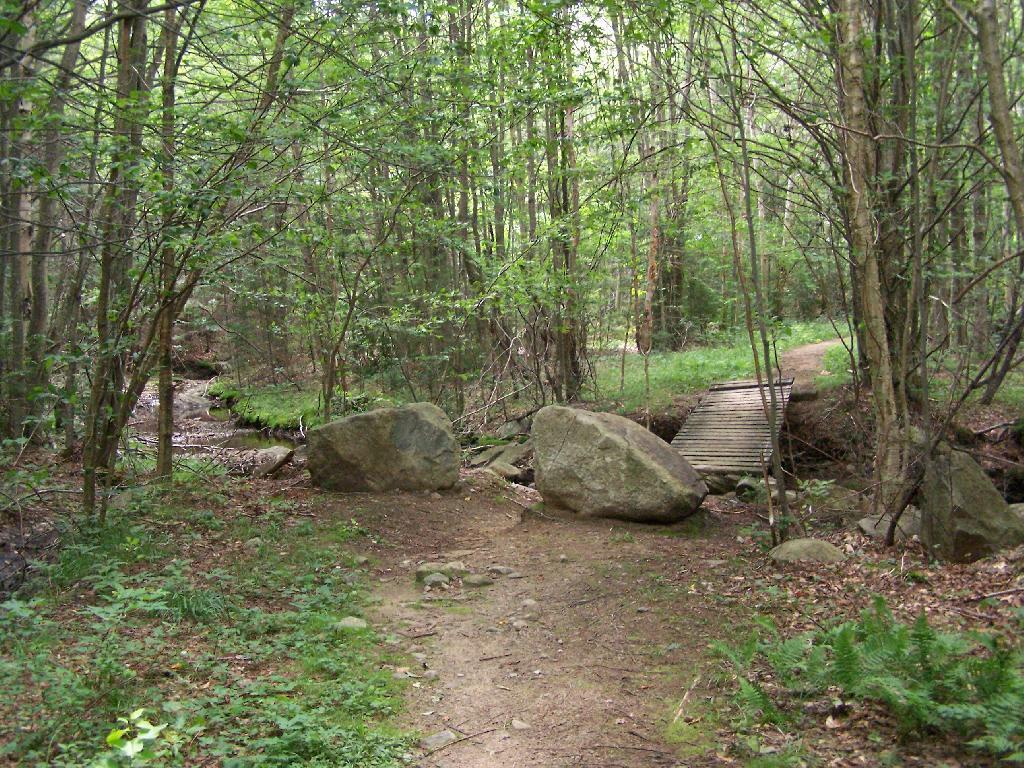
The End of Wakely Road

As you climb, you pass this big boulder On side of Wakely.
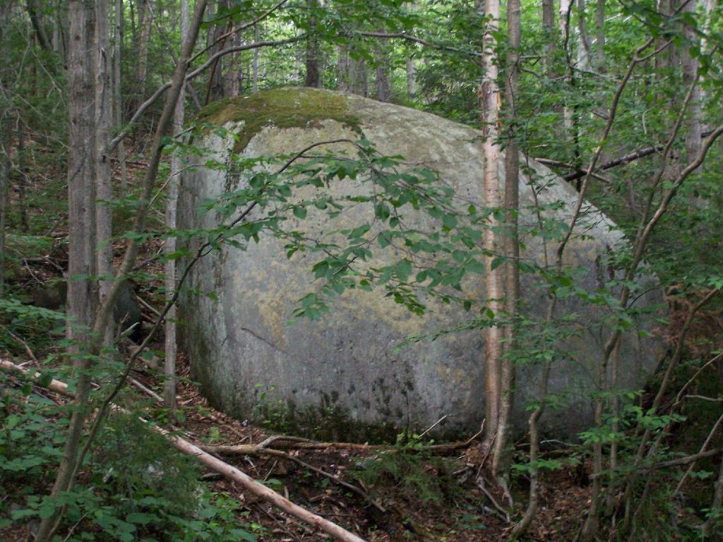
Big Boulder On Side of Wakely

The first two miles of the trail are pretty flat, a small incline that increases above 400 feet in elevation over two miles.
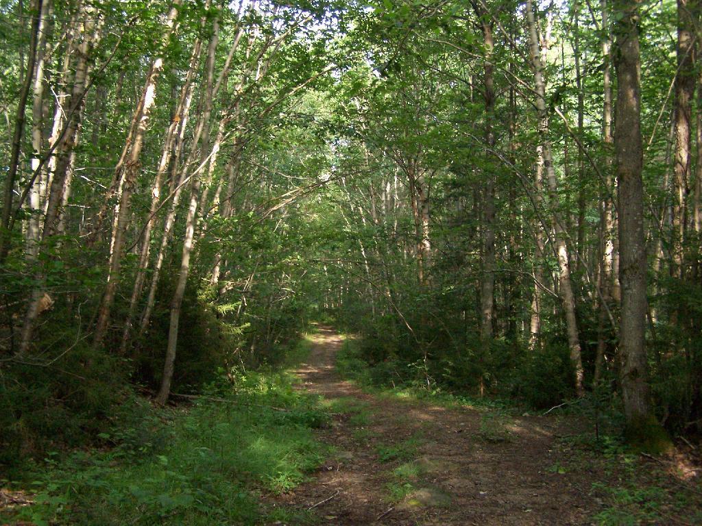
Flatter Two Miles of Wakely Trail

Marsh Along Wakely Mountain Trail. That’s Payne Mountain, not Wakely Mountain in the background.
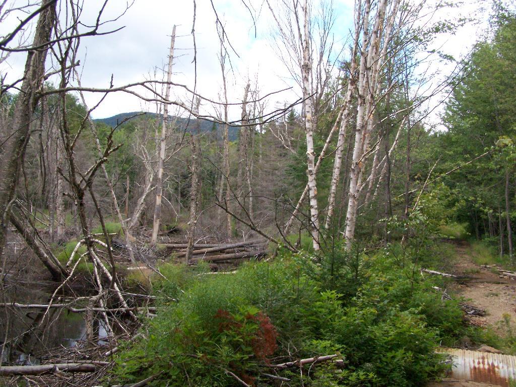
Marsh Along Wakely Mountain Trail

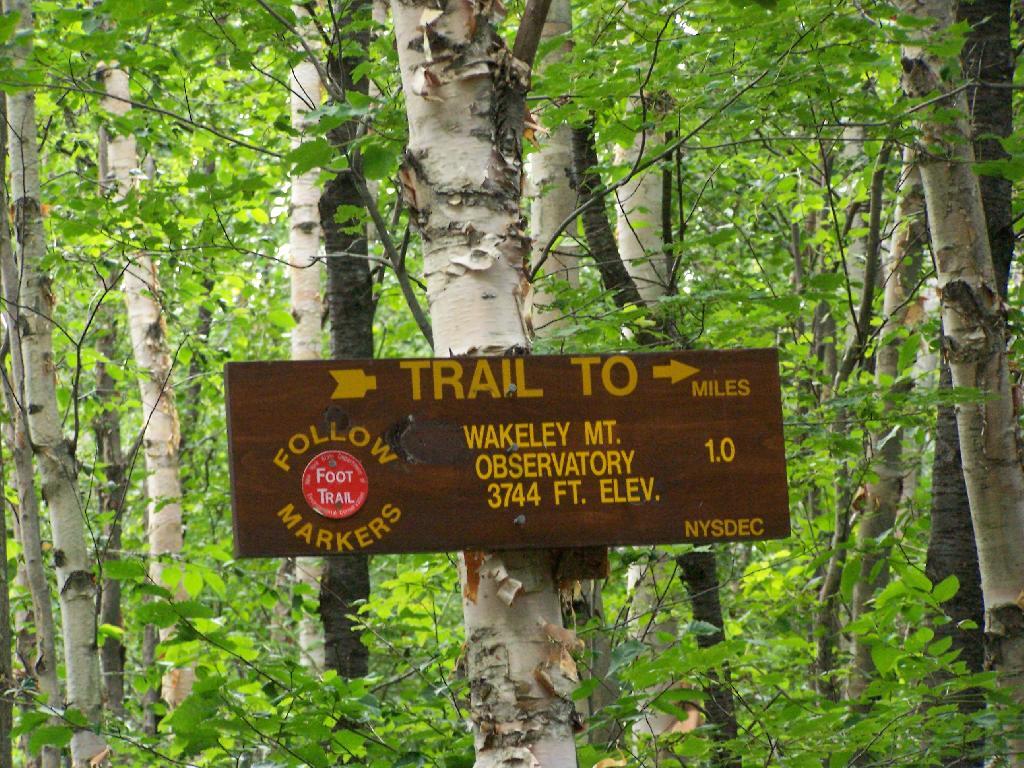
The Final Mile. You might think the previous two miles of the Wakely Mountain trail where easy, rising maybe 300 feet, until you hit the last mile, as indicated by this sign. It’s another 1200 feet on up for that last mile.
The Final Mile

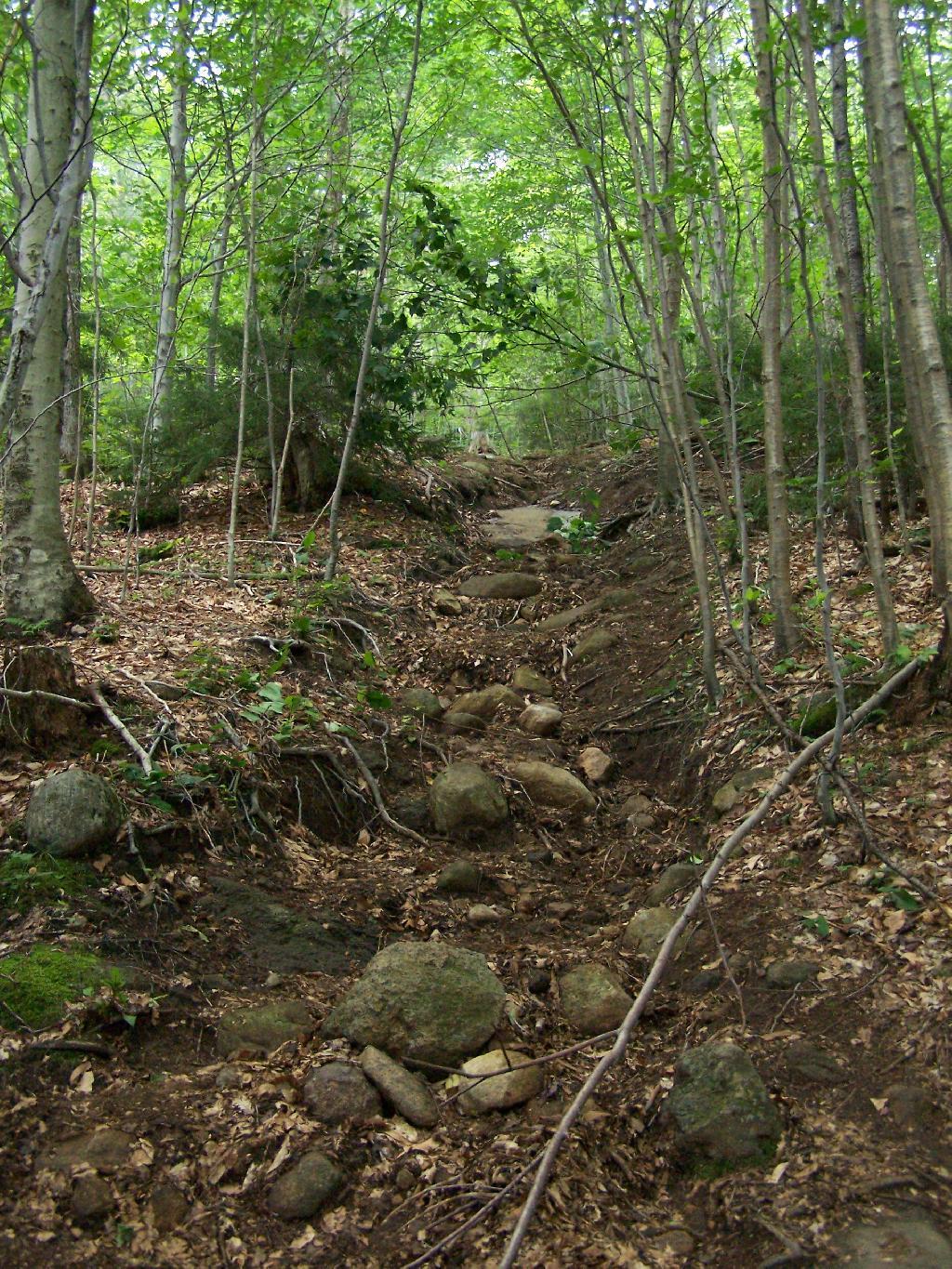
The trail up Wakely Mountain is badly eroded due to heavy use and neglect by the DEC.
Badly Eroded Wakley Mountain Trail

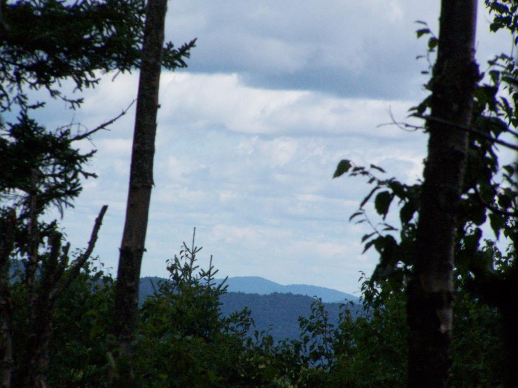
The last mile up Wakely Mountain is a long one, especially if you start late in the afternoon as I did. You are treated with some limited views while climbing Wakely Mountain, but all and all, there isn’t a lot to see except steep trail (but no open rock face!).
Broken Views Climbing Wakely

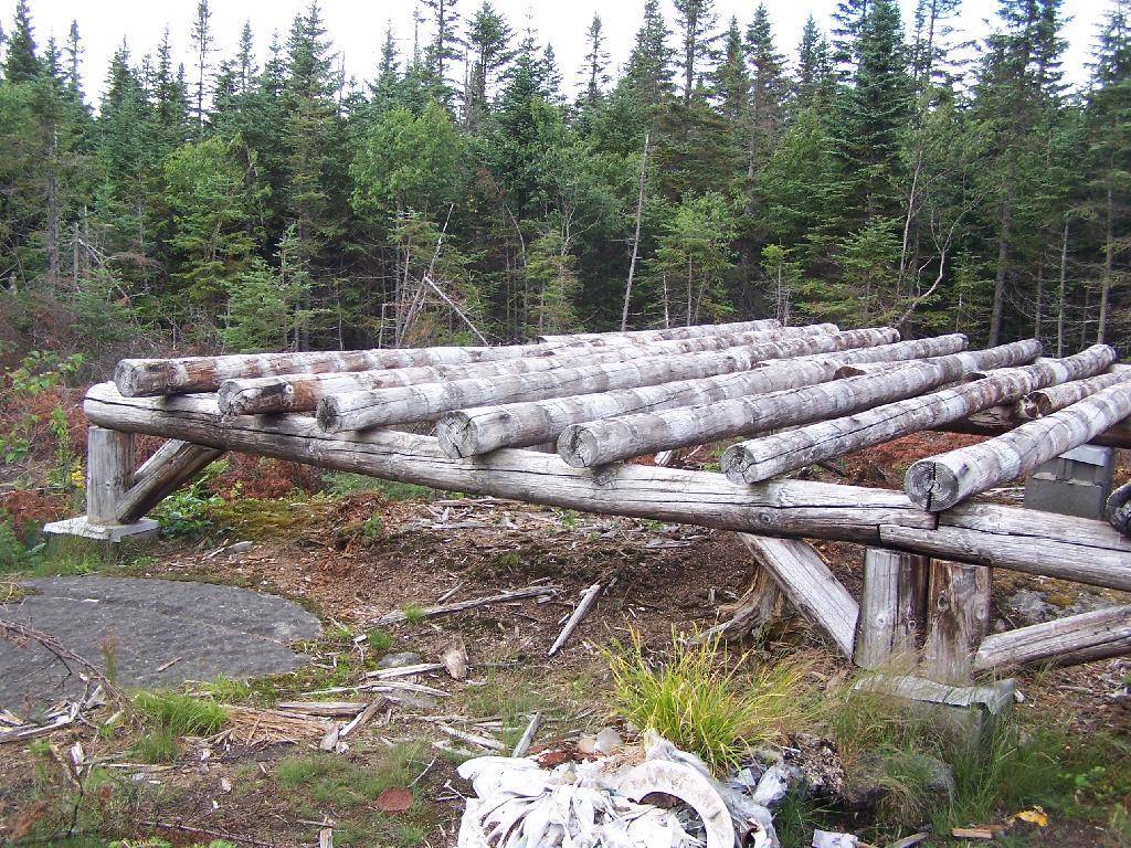
Once you almost reach the top of the mountain, you come to the Wakely Mountain Helipad. This is used by emergency responders, providing quick access to the top of mountain, to either access the tower for observation, or to help those injured on top of the mountain.

Next to helipad is a trash pile. I was wondering how this trash ended up top of the mountain, but after thinking about it a bit, it probably was trash from the ranger’s cabin, that was dumped here some time in the past, and was dug up in the re-construction of the helipad.
Trash Pile Next to Helipad

Eventually you reach the fire tower, about a 500 feet from the Helipad. The Wakely Fire Tower is an interesting Aeromotor LS 25 tower, that originally lacked a staircase, but was added in the form of an internal ladder, for the convience of hikers and the fire warden alike. Prior to the 1919 addition of the “stairs tower within the fire tower”, you had to climb a ladder on the side of the tower, to get all 60 feet to the top of the tower.
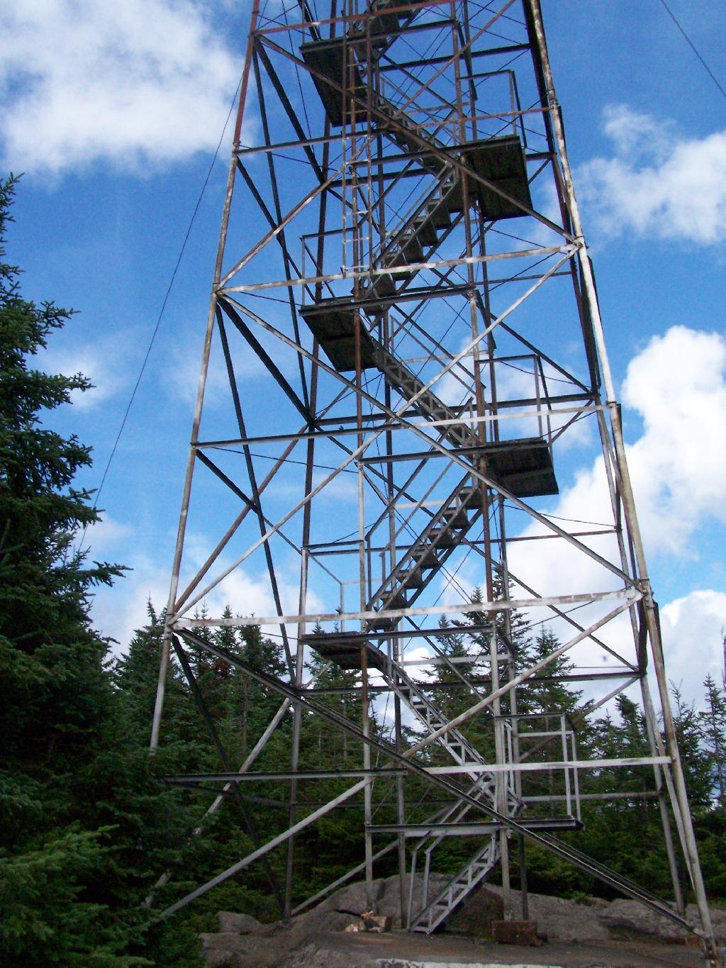
Wakely Fire Tower Stairs Inside Tower

Here is the original ladder you had to climb. They removed the lower flights to discourage people from trying to use the ladder, although the stairs themselves also lack any safety fencing, so it’s a bit scary if your not used to climbing towers.
Tower within a Tower

A close up over the tower within the tower.

Wakely Fire Tower Stairs Inside Tower

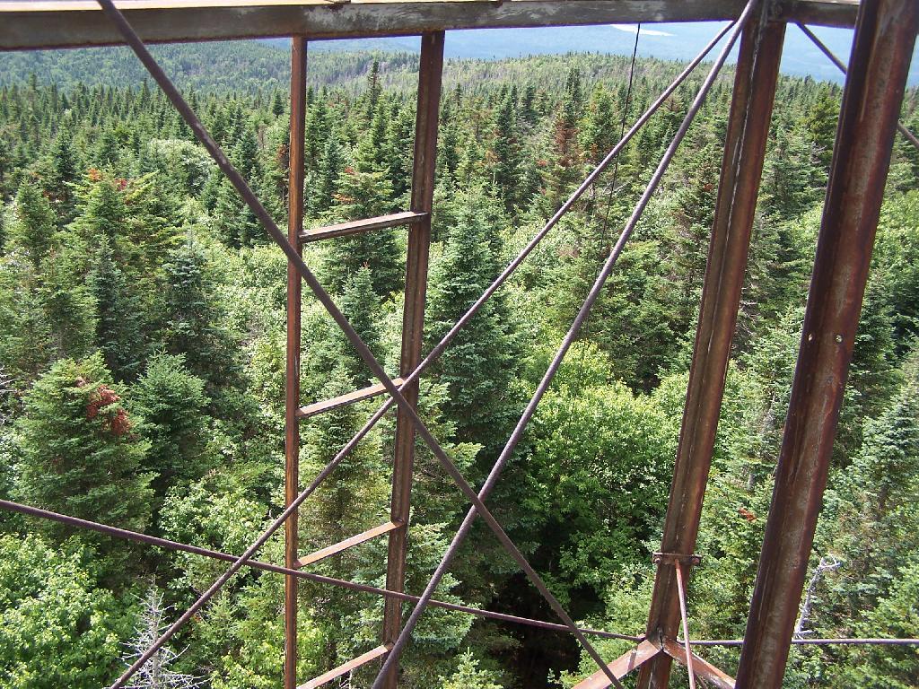
The firetower presents one with spectular views of the upper Moose River Plains, from the marshy end of Cedar River Flow to the Lost Ponds area, to around Wakely Dam and Wakely Pond.
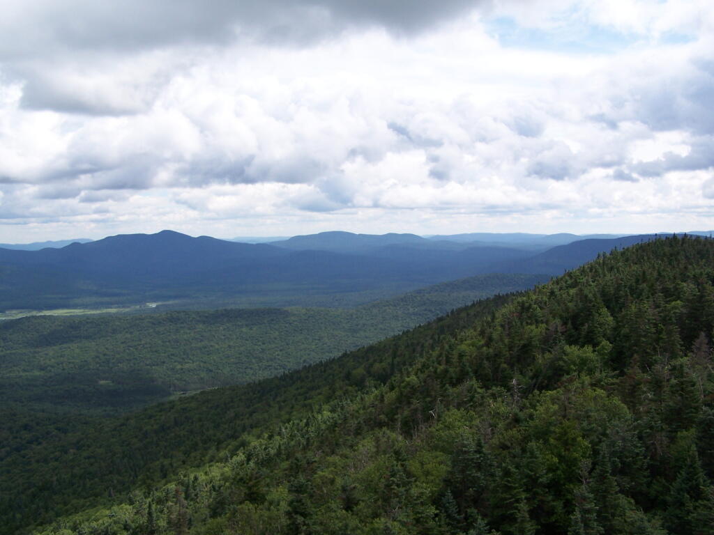
Plains from Firetower

To the east is the Blue Ridge Wilderness and Blue Mountain.
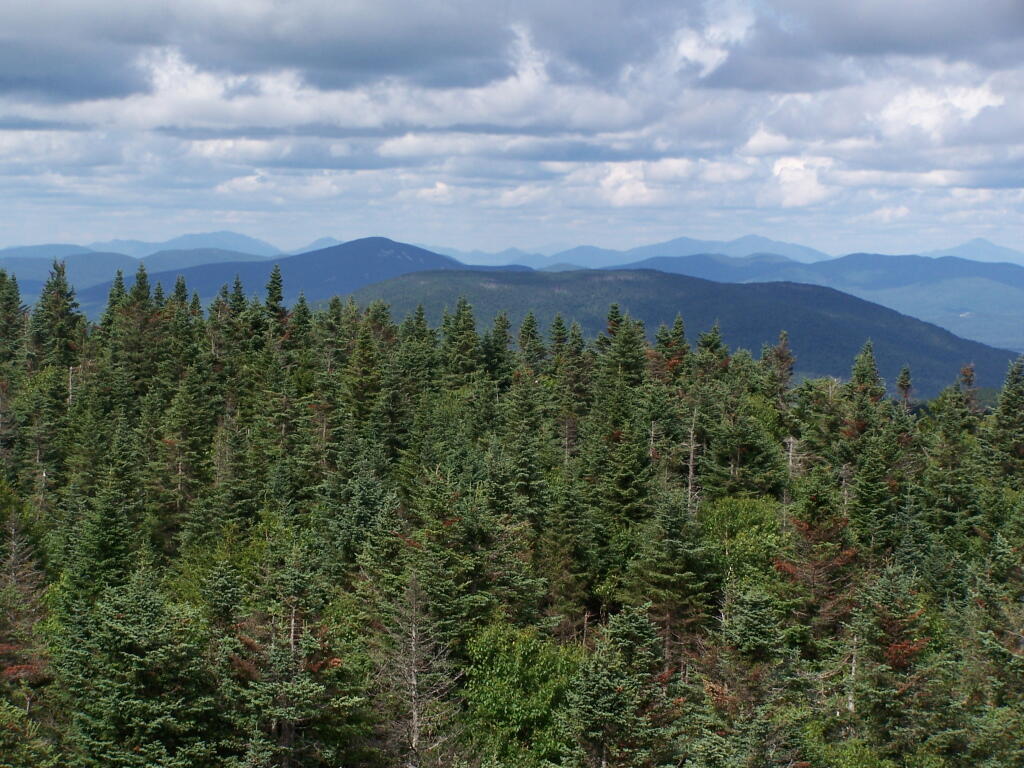
Blue Ridge and Blue Mountain

Looking down towards Indian Lake from the Fire Tower. There are many beautiful peaks to the south east.
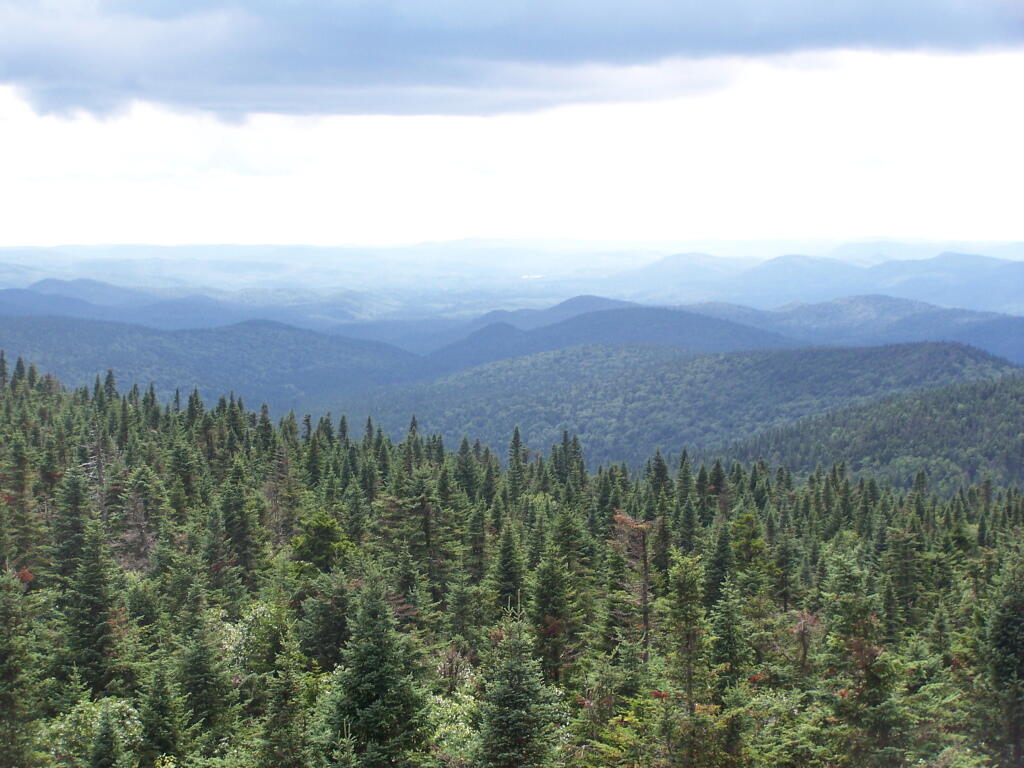
Towards Indian Lake

You can also see the High Peaks from Wakley Mountain.
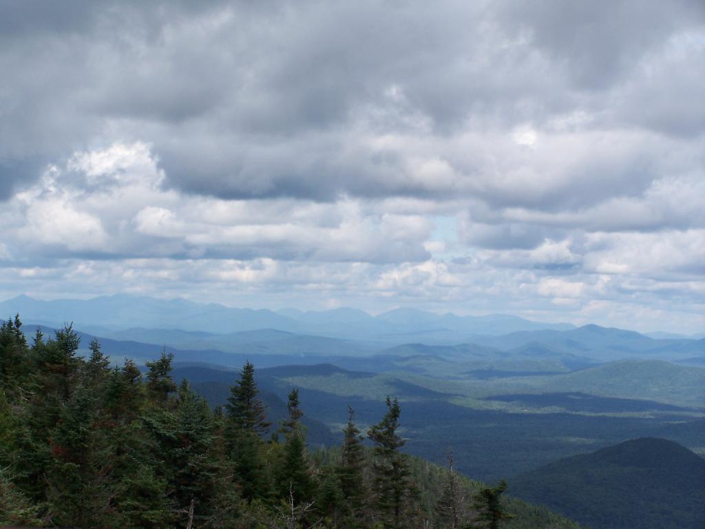
High Peaks from Wakley Mountain

And the Fulton Chain of Lakes.

Fulton Chain of Lakes

Cellar Mountain somewhat blocks the views to the west, as you look down to the plains, towards the ridges that follow along the NY 28 Corridor.
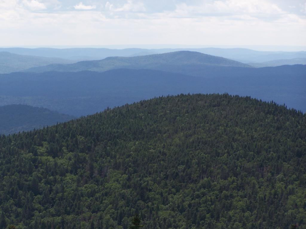
Cellar Mountain

The tower’s foundation sadly is in bad shape and needs work. The cabin of the tower is also only accessible via ladder, if your crazy enough to do that. It lacks safety fences on the various landings. Hopefully the state will find the funds and resources to restore this beautiful and popular tower, even though it’s likely to be expensive due to the need to use to Helicopter in supplies and possibly ironworkers to restore it.
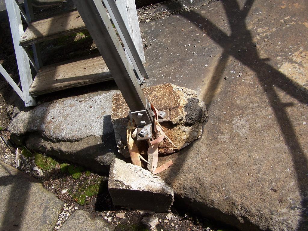
Cracked Firetower Foundation

A Google Map of the hike…

View Wakely Mountain Firetower in a larger map
SVGZ Graphic: Ichabod Crane School District
Thematic Map: New York Electric Grid

Black Mountain Snowmobile Trail

Black Mountain is the tallest peak between Lake George and Lake Champlain and contains an old fire tower that is currently used by the DEC Forest Rangers for communications equipment. It’s elevation is 2,640 feet, however accessing it from Pike Brook Road Parking area, your already at over 1,700 feet after driving up the very scenic Huletts Landing Road from NY 22.

Black Mountain Fire Tower

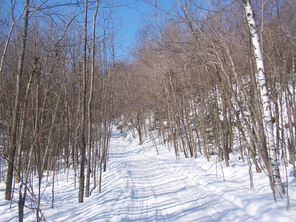
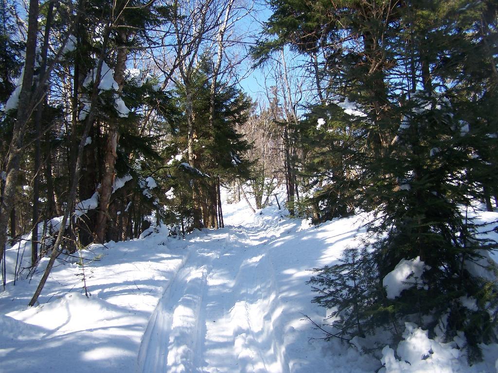
In the winter, the old woods road up Black Mountain is also a low-speed and narrow snowmobile trail that has occassional snowmobiles on it. At 3 miles, it’s a relatively short hike with an elevation gain of about 900 feet.

Bright Sunny Snowmobile Trail

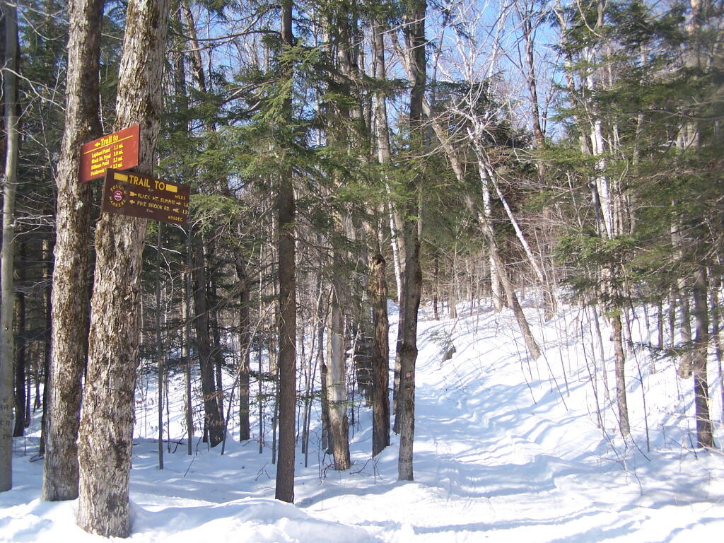
The first 1.2 miles up the mountain the trail is relatively flat. After the split between the valley trail to Black Mountain Pond and other lakes running down towards Lake George, and the trail up Black Mountain Fire Tower. The next 1.6 miles is much steeper, as the trail winds up the mountain following a Jeep Trail with many switchbacks.

Intersection of Yellow and Red Trails

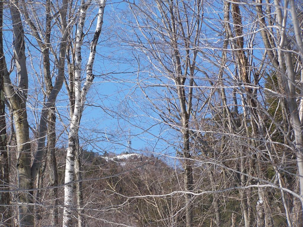
As you start climbing, you get a broken view of the fire tower on top of Black Mountain.

Black Mountain

The snowmobile / old woods trail is narrow and steep as it winds up to the top of the mountain.

Narrow Snowmobile Trail

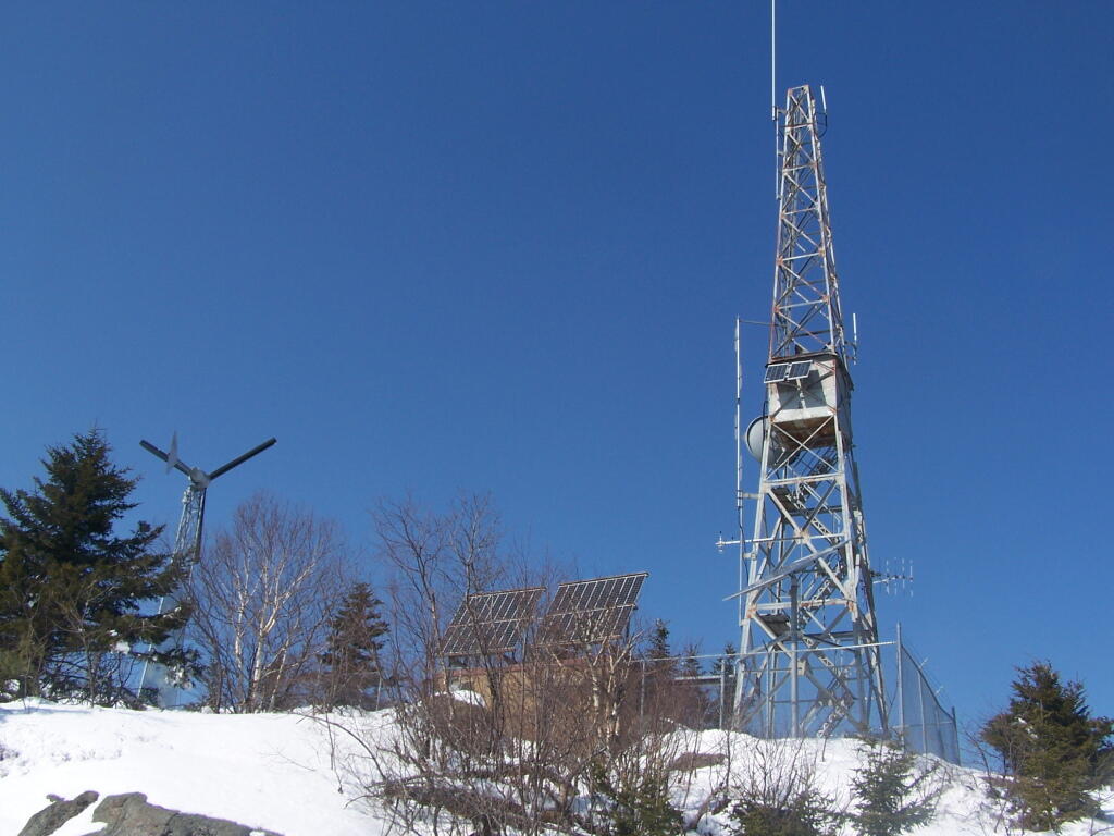
Reaching the top of the mountain, you can see the DEC Forest Ranger Communication Tower, with wind turbine, solar panel, and fire tower converted to communications tower. It’s disappointing that they had to convert the tower to a communications tower, because it would have otherwise provided nice views to the south.

Black Mountain Fire Tower

Looking across Lake George towards Five Mile Mountain and the Adirondack Mountain in the distance.

Lake George Near Deer Leep

North on Lake George. In the foreground is Hague, farther in the distance is Elphant Mountain, the end of Lake George and the La Chute River down pass Ticonderoga.

Lake George Near Deer Leep

Looking to the North-West off Black Mountain. In the foreground is Sugar Loaf Mountain, and just beyond that is the “Drowned Lands”, the marshy farm lands surrounding the southern portion of Lake Champlain. Even further beyond that is the Green Mountains in Vermont.

Sugar Loaf and Drowned Lands

Elephant Mountain, near Ticonderoga.

Elephant Mountain

Here is a map of the hike.


View Black Mountain Hike in a larger map

Map: Albert J. Woodford Memorial State Forest
Map: Brooktrout And Deep Lake