Campsite North of Powley Place 🖼️
Download a JPEG Image of the Campsite North of Powley Place.
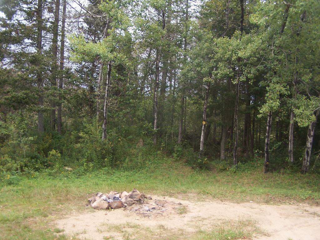
Campsite North of Powley Place ...
This is another campsite that is right on the road, in the beautiful open area of the sandy plains portion of Piseco Place.
Taken on Monday September 6, 2010 at Piseco-Powley Road.

More about Piseco-Powley Road...
The 17-mile Piseco-Powley Road is a remote dirt route cutting through the Adirondack's Ferris Lake Wild Forest. It features 22 primitive roadside campsites, including four spots at Powley Place where the road crosses the West Branch of the East Canada Creek.
Download the PDF Map Pack with All Maps from Piseco-Powley Road.


")


