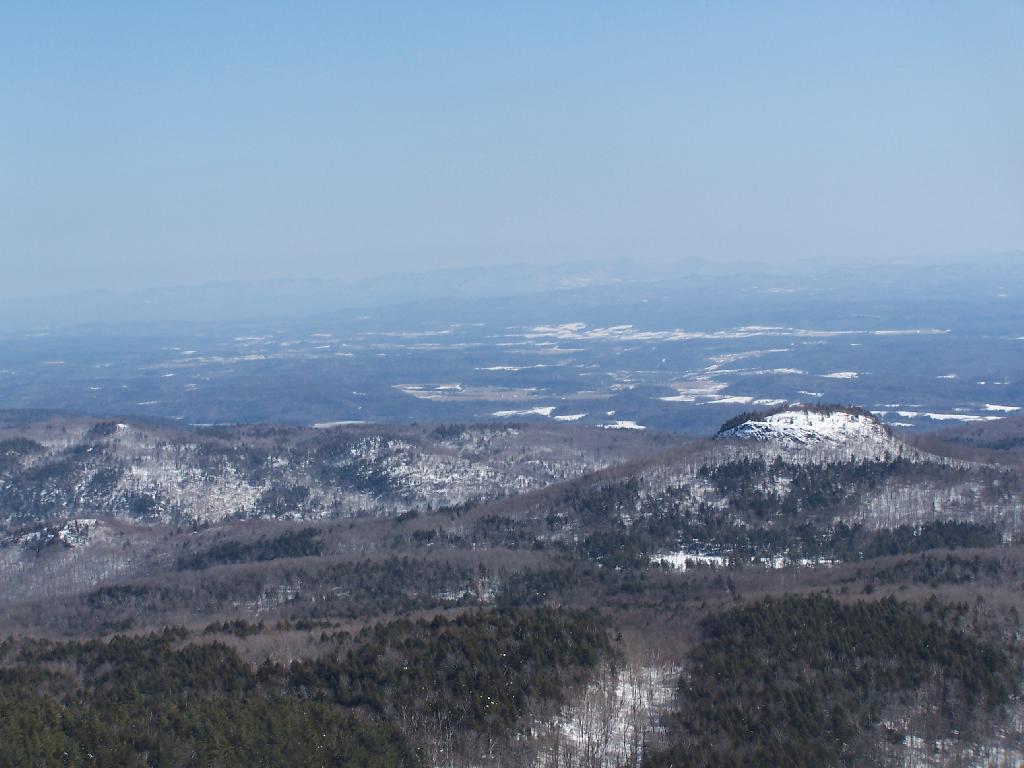
Sugar Loaf and Drowned Lands 🖼️
Download a JPEG Image of the Sugar Loaf and Drowned Lands.
Sugar Loaf and Drowned Lands ...
Sugarloaf is that little peak in the foreground. Drowned Lands, the lower portion of Lake Champlain can be seen in the background.
Taken on Sunday March 7, 2010 at Black Mountain.

More about Black Mountain...
Download the PDF Map Pack with All Maps from Black Mountain.


