Wilcox Lake Wild Forest 📍

Wilcox Lake Wild Forest is located in the southeastern part of the Central Adirondacks and is made up of approximately 140,000 acres of State Forest Preserve lands in Warren, Hamilton, Saratoga and Fulton Counties. Nearby communities include Stony Creek, Thurman, Bakers Mills, Day, Wells, Hope Falls, and Northville.

Wilcox Lake Wild Forest is bounded on the north by NY 8, on the east by the Hudson River, on the south by the Adirondack Park Blue Line, and on the west by NY 30. This wild forest offers many recreational opportunities, including hiking to the fire tower on Hadley Mountain, camping on Wilcox Lake, and ice fishing on Garnet Lake. With over forty-five miles of marked trails available, there are countless opportunities for hiking, skiing, and snowmobiling in the unit.

Download the PDF Map Pack
🗺️ Maps 🖼️ Photos 📽️ Videos

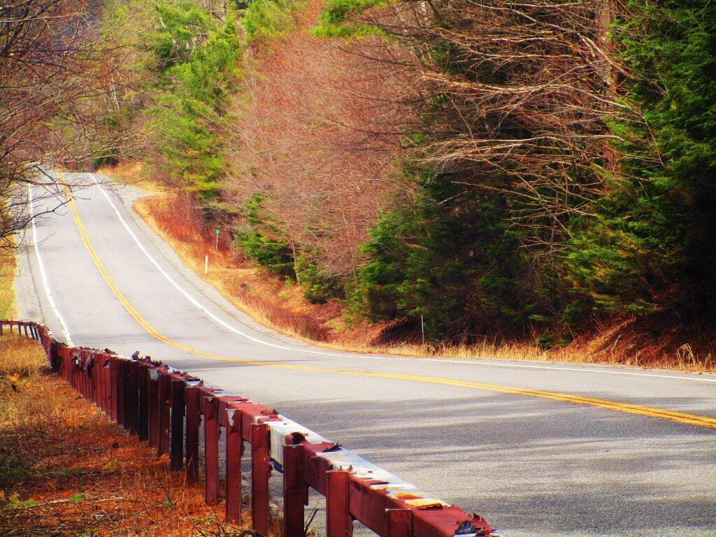
Pealing Paint

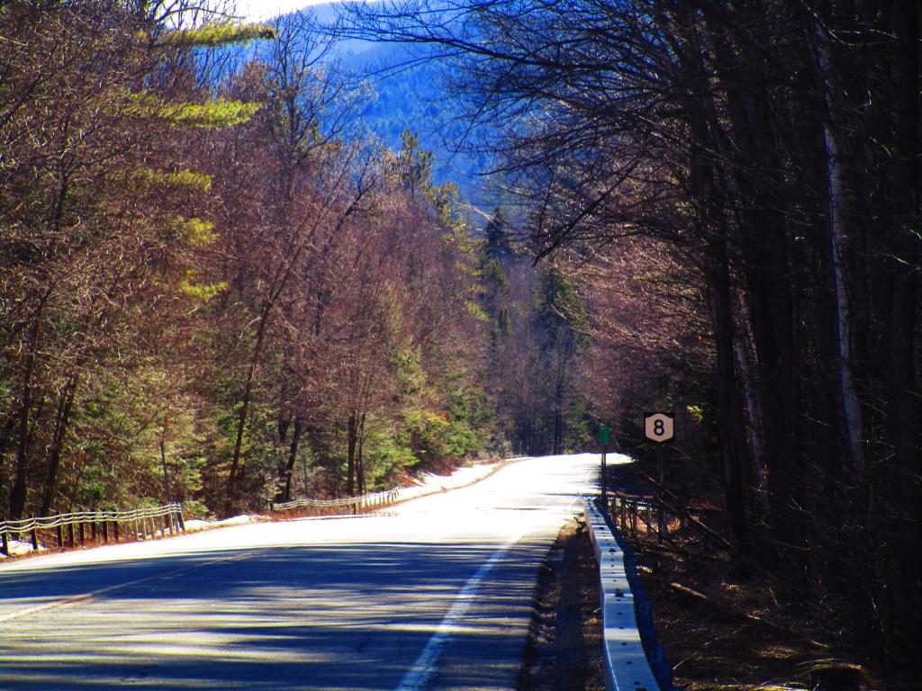
Part of NY 8 has stainless steel guardrails that were painted brown when they were installed but have a lot of paint pealing off them. Most of the COR-TEN guard rails that once were common in the Adirondacks have been removed due to premature rusting.

Saturday May 2, 2020 — East Branch Sacandaga RiverCod Pond Trailhead Camping Opporunities 🗺Eagle Pond Trail 🗺East Branch Gorge Trail 🗺East Branch Sacandaga River - NY 8 🗺Fox Lair Campsites 🗺PDF with All Maps 📚
Map: Empire State Topography
Map: Green Mountain National Forest North

Riding Down Eleventh Mountain on NY 8 Was Fun

Mid-day Saturday traffic was light on NY 8, it's not like on weekdays, especially in the afternoon into the evening with truck and car traffic heading from Central NY to Adirondack Northway, Vermont, Gore Mountain, etc.

Saturday March 30, 2024 — East Branch Sacandaga RiverCod Pond Trailhead Camping Opporunities 🗺Eagle Pond Trail 🗺East Branch Gorge Trail 🗺East Branch Sacandaga River - NY 8 🗺Fox Lair Campsites 🗺PDF with All Maps 📚
Terrain Map: Pine Bush Lidar with NAIP Imagery
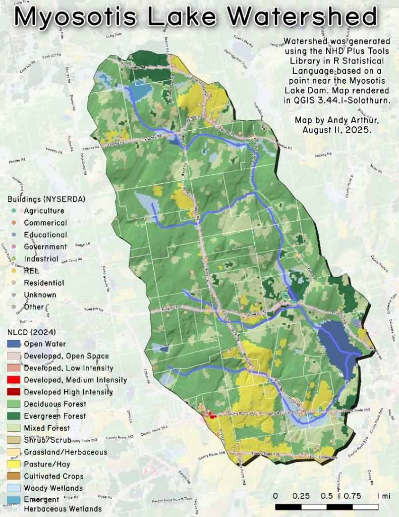
Thematic Map: Myostis Lake Watershed NLCD
Map: Severence Hill Trail