Search Results for: "Map:" Rain
Otselic Valley
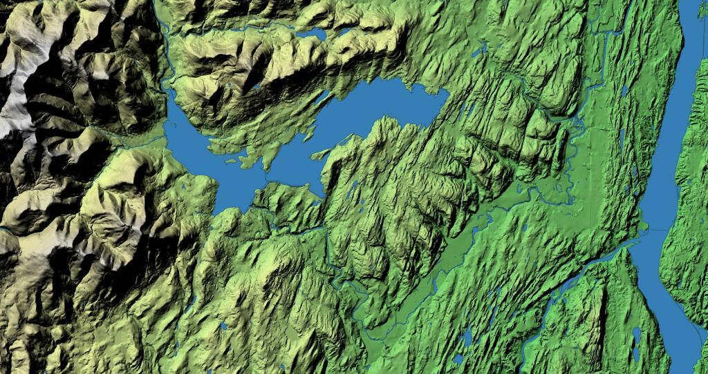
Exploring the lower Otselic Valley with this 3D rendering of the area directly north of Whitney Point Reservoir.
Vormans Nose LiDAR
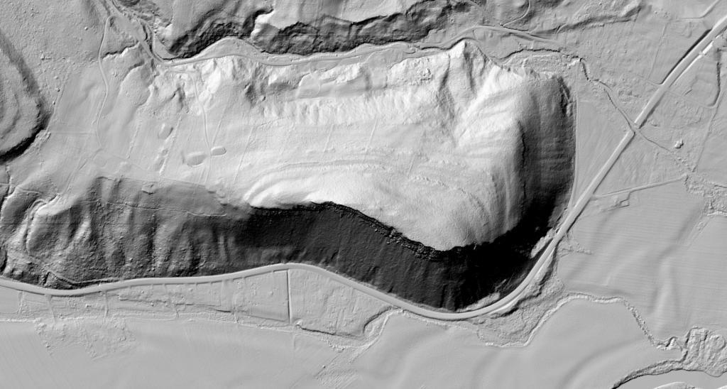
This LiDAR image of Vromans Nose does a great job of showing the cliff's edge and the stone walls that exist from the mountain's agricultural legacy on the backside.
Allegheny Front
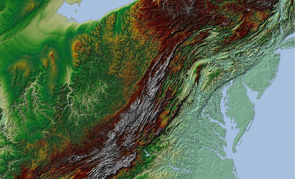
The Allegheny Front stands as the prominent escarpment facing southeast or east within the Allegheny Mountains, spanning southern Pennsylvania, western Maryland, and eastern West Virginia in the USA. Serving as a demarcation, the Allegheny Front acts as the dividing line between the Ridge-and-Valley Appalachians to the east and the Appalachian Plateau (often referred to as the Allegheny Plateau) to the west. This geological feature is intimately linked with the Eastern Continental Divide of the Appalachian Mountains. In this region, the Eastern Continental Divide separates the watersheds of the Ohio/Mississippi river system, which flow towards the Gulf of Mexico, from those of rivers that eventually empty into Chesapeake Bay and further into the Atlantic Ocean.
Nonetheless, it's important to note that the Allegheny Front and the Divide don't always perfectly align. For instance, the North Branch of the Potomac River originates significantly west of the Allegheny Front, near the Fairfax Stone located at the southwestern tip of Maryland. It's merely around 10 miles (16 km) away and situated across the physical divide from the headwaters of the Youghiogheny River, which flows westward into the Monongahela and Ohio rivers.
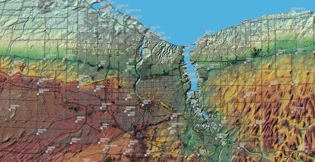
Rochester
By the time you get east to Rochester the Niagara Escarpment is not nearly as pronounced, although it certainly exists in the terrain when you look at a map.
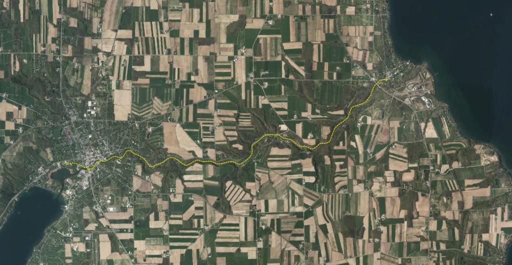
Kueka Outlet Map
Keuka Lake is the odd little duckling of the Finger Lakes; but, it is not the “ugly” duckling by any stretch! Instead, Keuka Lake is beautifully unique and, though it shares much with its fellow “fingers,” it is set apart by its peculiar shape. Early settlers called this the “crooked lake” because, unlike the long and sinuous, finger-shaped lakes, Keuka Lake is forked and shaped like a Y. The odd shape is one of its many unique features, but more pertinent to outdoor enthusiasts is that Keuka is the only Finger Lake that drains into another. This gave rise to the Outlet Trail.
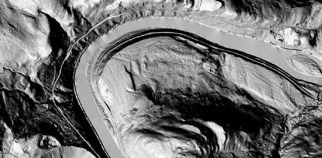
Hawks Nest LiDAR
Looking at the terrain that makes up Hawk Nest in this LiDAR hillshade.
