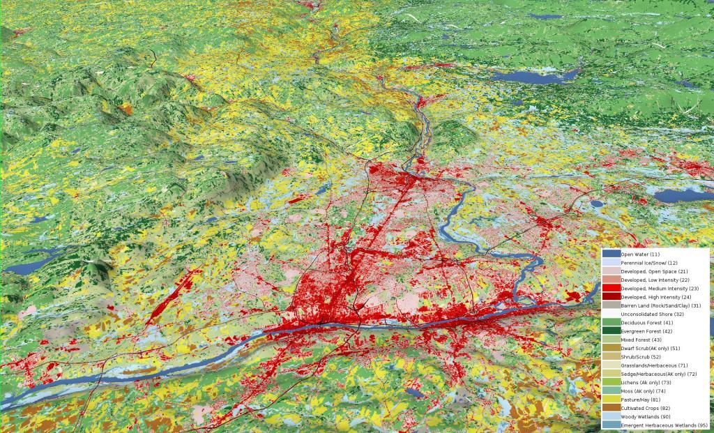
The Mohawk Valley is an interesting mixture of urban development, old mill towns and farming. Starting at Albany, you are looking west past the Pine Bush and Schenectady to the farm lands that line the valley, trimmed with the hills of Central Leatherstocking region to the south and Adirondacks to the north.
Here is the Mohawk Valley with the National land Cover Dataset layer on. The area around the valley is quite agricultural, but once you head north a few miles it becomes quite forested.
I have been playing with map color filters and this aerial photo of the Mohawk Valley seemed to touch me, even if its uncommon for the Mohawk Valley to be this free of clouds in summer months.
I always find driving the part of the Thruway around Illion to be the most fascinating. It's an interesting mix of geologies as you rise from the end of the Mohawk Valley into the Onieda Lake plains - the mucky farm country with many a swamp and arces of fertile black dirt.
Perched on a vantage point overlooking the Mohawk River, stands a grand mansion in the Georgian style, once the residence of General Nicholas Herkimer. This colonial frontier abode was meticulously constructed and completed circa 1764. General Herkimer etched his name in history during the pivotal year of 1777, when he rallied 800 militiamen alongside 60 Oneida warriors, marching resolutely to safeguard Fort Stanwix against a British siege.
The Battle of Oriskany, waged on August 6, 1777, marked a turning point in the Revolutionary War. It is recounted as one of the war's most harrowing conflicts, characterized by its intense bloodshed. Despite suffering a leg injury, Herkimer maintained steadfast command throughout the ferocious engagement. Following the battle, he was transported to his abode, where he succumbed to complications arising from the eventual amputation of his leg, ten days later.
Over the years, Herkimer's estate hosted a diverse array of inhabitants. This included his own family, enslaved individuals who contributed to the estate's operations, wartime encamped soldiers, and neighbors seeking sanctuary from the turmoil in the Mohawk Valley. The 19th century witnessed transformative changes on the property, as it bore witness to the passage of both the Erie Canal and subsequently the railroad, altering its landscape.
In the present day, easy access is granted to the site via highway, river, or the Canalway Trail. Visitors are extended a warm invitation to explore the mansion, engage with the exhibits in the visitor center, and wander the grounds. Here, they can discover the final resting place of General Herkimer, a meticulously recreated kitchen garden, vestiges of an Erie Canal lock, and picturesque vistas overlooking the serene Mohawk River.
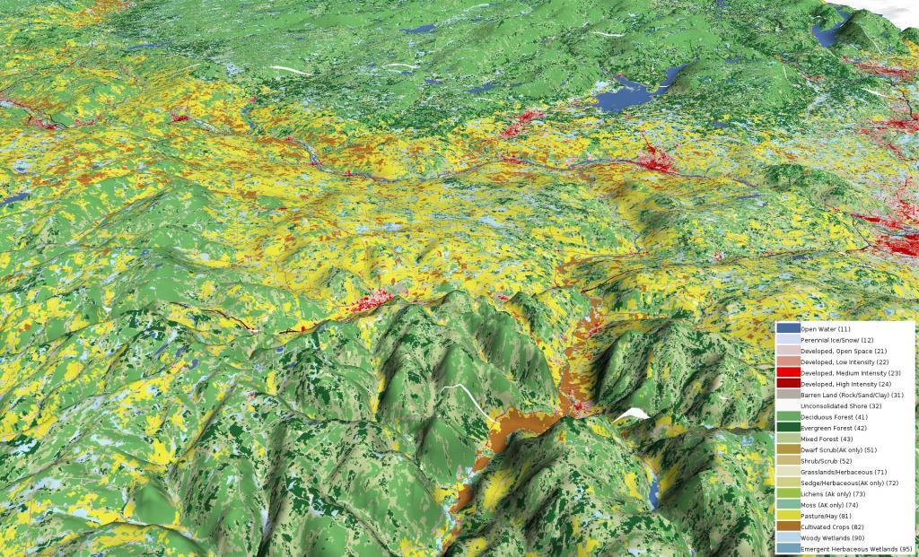
I've long had a fascination with land use, elevation and contours. Looking north on Schoharie Valley into the Mohawk Valley with the Adirondacks in the distance.
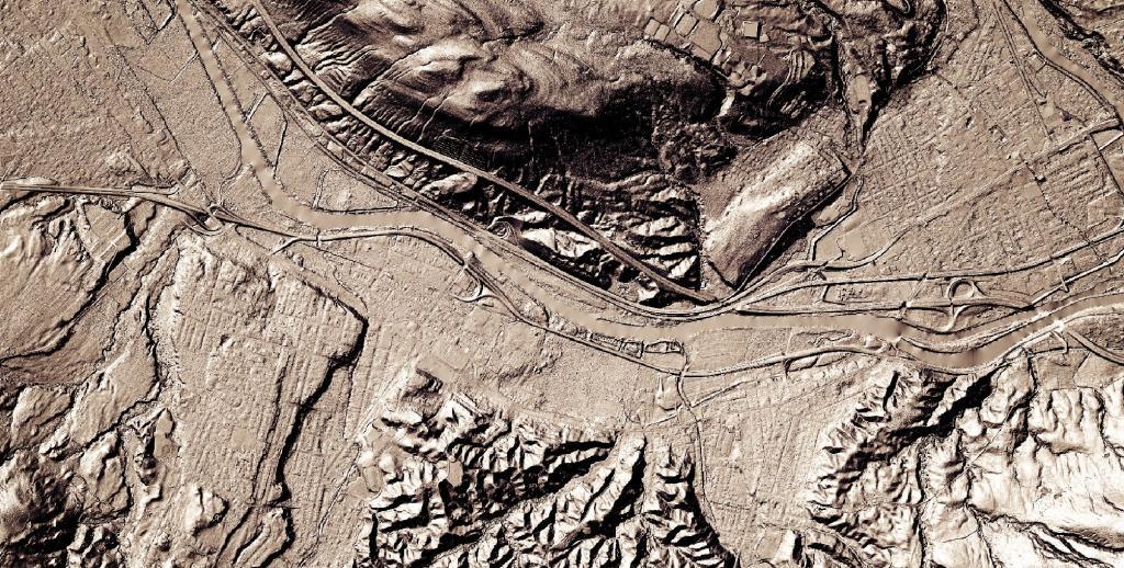
The Noses of the Mohawk River are a break in the hills where the Mohawk River Runs. This is a scared site for many of the Native Americans and an important travel corridor since the Colonial era. Today, this natural passageway is crossed by the Erie Canal/Mohawk River, then to the north of the river two railroad tracks, a two-lane section of NY 5. To the south of the river is four lanes of the NYS Thruway (built on filled in portion of the Mohawk River), and two lanes of NY 5S. There also is the Mohawk Valley Welcome Center, brought there by the Thruway Authority and Power Authority. This site has not always been considered that sacred -- the Sprakers Unlined Landfill for Canjahoharie's waste from the 1960s to 1980s is located one portion of the bank mined away for travel, and much of the travel corridors through the valley are built on rubble through former marshlands.