Lost Valley – 1995, 2001, 2005, 2014, 2017, 2022
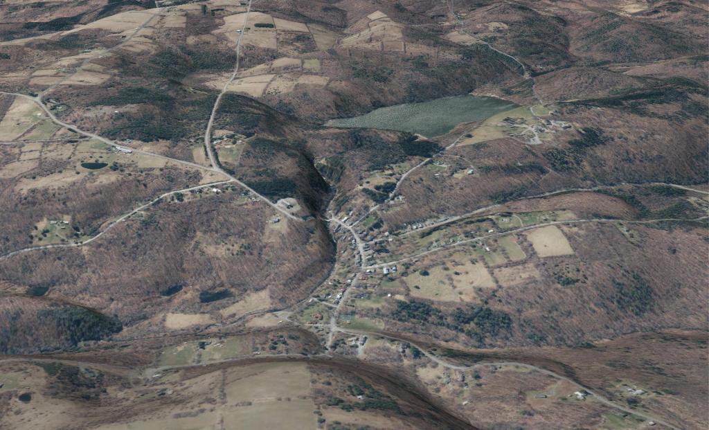
Watch the evolution of this area after Hurricane Irene back in 2011 ...
Watch the evolution of this area after Hurricane Irene back in 2011 ...
Small hamlet, that grew significantly smaller after Hurricane Irene washed much of it away in Montgomery County off of Lost Valley Road. As you can see from the USGS Topographic Map, it's a pretty deep valley in there.
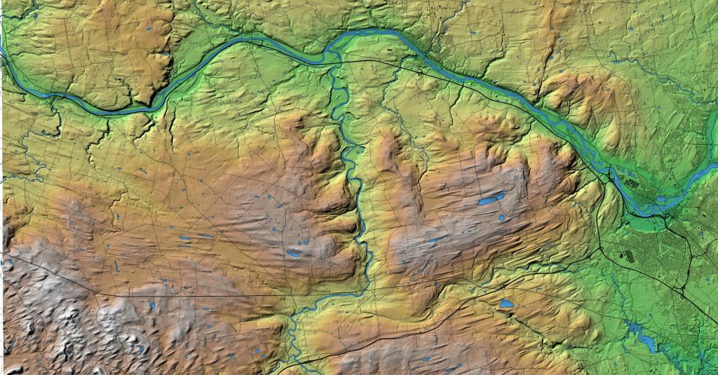
With this rendering I continue my fascination with the Lost Valley of the Schoharie Creek.
Rensselaerville was once part of the Manor of Rensselaerswyck, as such the people who farmed the land were technically leaseholders of the patroon under a feudal system, first as part of the Dutch colony of New Netherland, then under the English colony, and then U.S. state, of New York. Some of the earliest settlement in Rensselaerville was along the five Native American paths that crossed the town in the early 18th century. The southwestern corner along one of these, that connected the Hudson River to the Schoharie Valley was the first section of the town to be settled, this would be around 1712. This path was also the one used during wars between the Stockbridge Indians and those at Schoharie.
Rensselaerville was created from part of the town of Watervliet in 1790. In 1795, the northern part of the town was lost to create the new town of Berne. Additional territory was lost from the eastern part of the town upon the formation of the town of Westerlo in 1815.