At one point, US 4 in Vermont was proposed to be an expressway across the state. Nowadays it dead ends at US 7 South of Rutland, across from what I'd now the Diamond Run Maul. This would have become part of the Modified Central Route of the proposed Interstate 92.
"MODIFIED" CENTRAL ROUTE: 281.6 miles from the area of Glens Falls, New York to Portland, Maine. This corridor would have required 97.1 miles of new construction and 70.2 miles of upgrading existing facilities (a 1968-1971 Interstate-quality upgrade of US 4 near Rutland, Vermont is included in this figure). Approximately 114.2 miles would have utilized already existing Interstate highways (I-89 in Vermont and New Hampshire, and I-393 in New Hampshire). The route, which was estimated to cost $346 million by the time it was completed in 1979, would have gone through Rutland and White River Junction, Vermont; Lebanon and Concord, New Hampshire; and Sanford and Portland, Maine. (An extension of the central route east to Calais, Maine was not considered for this study.)
http://www.bostonroads.com/roads/I-92
In 1973, facing community opposition and the state's deteriorating budget situation, the Long Island Expressway extension was cancelled, ending abruptly at Horseblock Road (which us children have a more obscene term for) and Old Country Road about 5 miles outside of Riverhead. A series of outlet mauls, an amusement park and other businesses popped up very conveniently at the end of the L.I.E., hoping to capture the dollar of the tourist heading out to the wild country of Western Long Island after leaving the city. Manhattan is roughly 70 miles to the west on Nation's Largest Parking Lot as some people call the L.I.E.
In 1958, the Oswego Boulevard Expressway ended at North Salina Street in Downtown Syracuse.
Right of way purchased and cleared a mile further north but canceled after Robert Moses and later Nelson Rockeller could never accomplish the elusive Long Island Sound Bridge due to environmental concerns and community opposition. If built as Robert Moses proposed, would have connected with the Cross Westchester Expressway. Some of those ramps are kind of unless unless you want to make a U turn.
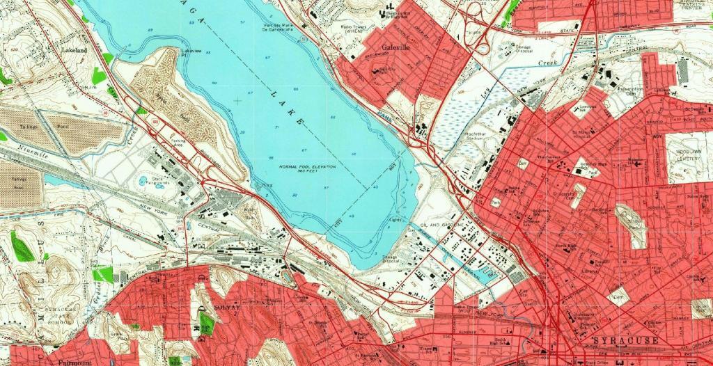
The east end of this expressway (right) is located in the Westvale neighborhood of the Town of Geddes. The expressway was planned to continue across West Genesee Street as a southwestern bypass of Syracuse, and would have connected with the junction of Interstates 81 and 481 in southern Syracuse. A spur from this beltway would have carried NY 5 into the downtown district. Today, the expressway stub shows a partially-built folded diamond interchange (with a loop in the northeast quadrant), where today NY 5 turns east onto West Genesee Street towards Solvay. The cleared right-of-way is largely intact along the highway's planned path through the Towns of Geddes and Onondaga, although new development can already be seen on the south side of Genesee Street.
http://www.empirestateroads.com/week/week39.html
Until the construction of modern NY 23 expressway in the 1960s, the Rip Van Winkle Bridge ended at US 9W in Catskill.
