Search Results for: "Map:" Berne, NY
John Boyd Thacher Park in 1900
It should be noted that the Berne 1900 quad seems like it is a revised version, as Thacher Park is listed on this map, even though it didn't become a park until 1914.
Rensselaerville NY
Rensselaerville was once part of the Manor of Rensselaerswyck, as such the people who farmed the land were technically leaseholders of the patroon under a feudal system, first as part of the Dutch colony of New Netherland, then under the English colony, and then U.S. state, of New York. Some of the earliest settlement in Rensselaerville was along the five Native American paths that crossed the town in the early 18th century. The southwestern corner along one of these, that connected the Hudson River to the Schoharie Valley was the first section of the town to be settled, this would be around 1712. This path was also the one used during wars between the Stockbridge Indians and those at Schoharie.
Rensselaerville was created from part of the town of Watervliet in 1790. In 1795, the northern part of the town was lost to create the new town of Berne. Additional territory was lost from the eastern part of the town upon the formation of the town of Westerlo in 1815.
Lower Switzkill Valley
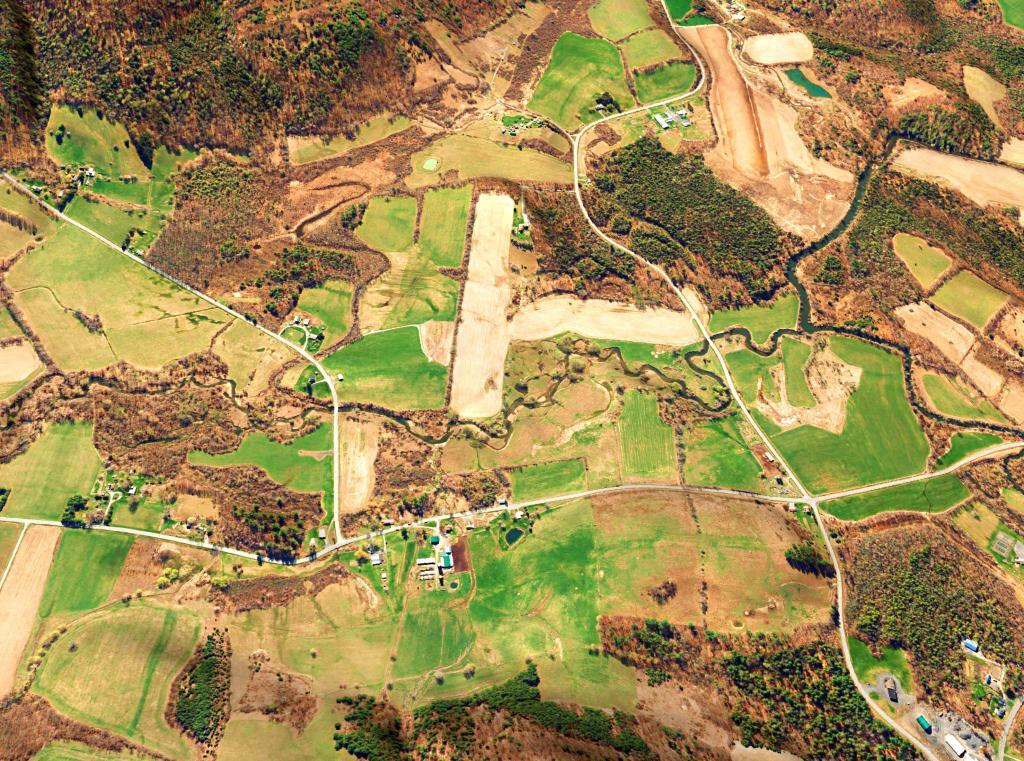
Taking a look across the Lower Switzkill Valley where the creek winds into Fox Creek outside of Berne. In the distance is Sickle Hill and the many farms that cover the valley.
East Berne – Berne – Cole and Irish Hill
National Agricultural Imagery Program - October 22, 2022
Berne Beers Map
An overlay of the Beers Map for Berne over a contemporary aerial photo.
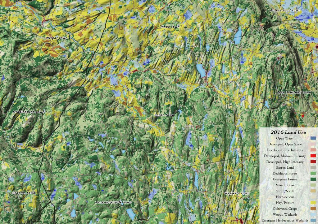
2016 Berne Land Use
While Berne has quite a bit of farming going on in the valleys, there is less agriculture going on there then to the north in Knox. A lot of the hillsides and upper elevation areas aren't great for farming, and even in the valleys, more of the land is used for pasture and hay production.


