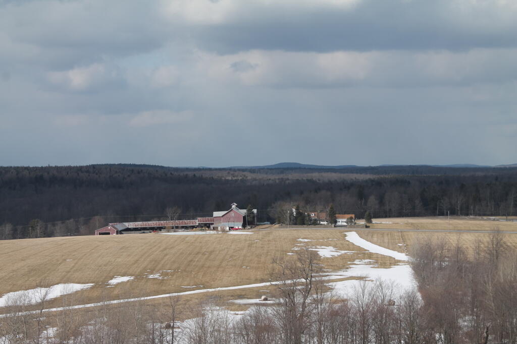
Photo: Route 10 Farm
Download a High Resolution JPEG Image of the Route 10 Farm or an Adobe Acrobat Printable PDF of the Route 10 Farm.
Route 10 Farm ...
Taken on Friday April 5, 2013 at Berry Hill Firetower.
More about Berry Hill Firetower...
The Berry Hill facility was created in the early fall of 1934 with the construction of the fire tower by the Civilian Conservation Corps (C.C.C.) to provide early fire detection over their reforestation projects, which today make up the McDonough State Forest. In the spring of 1935, the forest fire observatory began operating and ran continuously up through the end of the 1988 fire season. As was the case with all of the state operated fire towers during World War II, the forest fire observer at Berry Hill reported all aircraft sightings to the local command of Civil Defense, while keeping a watchful eye out for smoke. Along with the fire towers that once stood at Brookfield, Chenango Lake (moved to Brookfield in 1948) and Georgetown, any forest fire could be triangulated on a map by local forest rangers once compass azimuth readings of a smoke were provided from each fire tower.
... photos, maps and other content from from Berry Hill Firetower.
