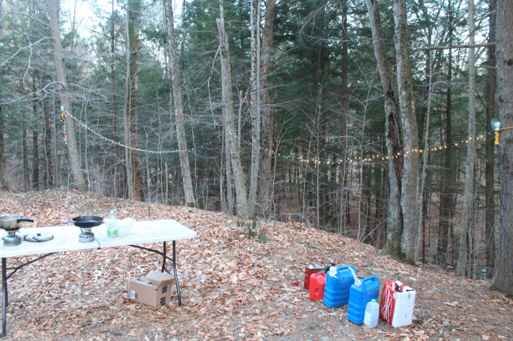
Photo: Photo.2013.04.27 20.45.17
Download a High Resolution JPEG Image of the Photo.2013.04.27 20.45.17 or an Adobe Acrobat Printable PDF of the Photo.2013.04.27 20.45.17.
Photo.2013.04.27 20.45.17 ...
Taken on Saturday April 27, 2013 at Mohawk Valley.
More about Mohawk Valley...
Maps and Interactives
Willie Marsh Trails
Waterford Flight of Locks
Trace the Black River Canal !
The Noses
Mohawk Valley
Sodus Ditch
Rockwood State Forest
Rockwood Lake
Old MOSA Dump along the Lasher Creek
Oak Orchard Viaduct – Medina
National Land Cover Dataset – Mohawk Valley
Middenville
Lock 9 Bridge Dam
Lock 8
Lock 2
Erie Canal Lock 16
Lisha Kill and Mohawk River
Fultonville 1944/1946
Fonda – Fultonville 1896
Flat Creek – NY 162 Outside of Sprakers
NY Canal Corporation Dams
The Mohawk Valley
Mohawk Noses and Gravel Pit in 1956
LANDSTAT 1 – January 8, 1973
... photos, maps and other content from from Mohawk Valley.
