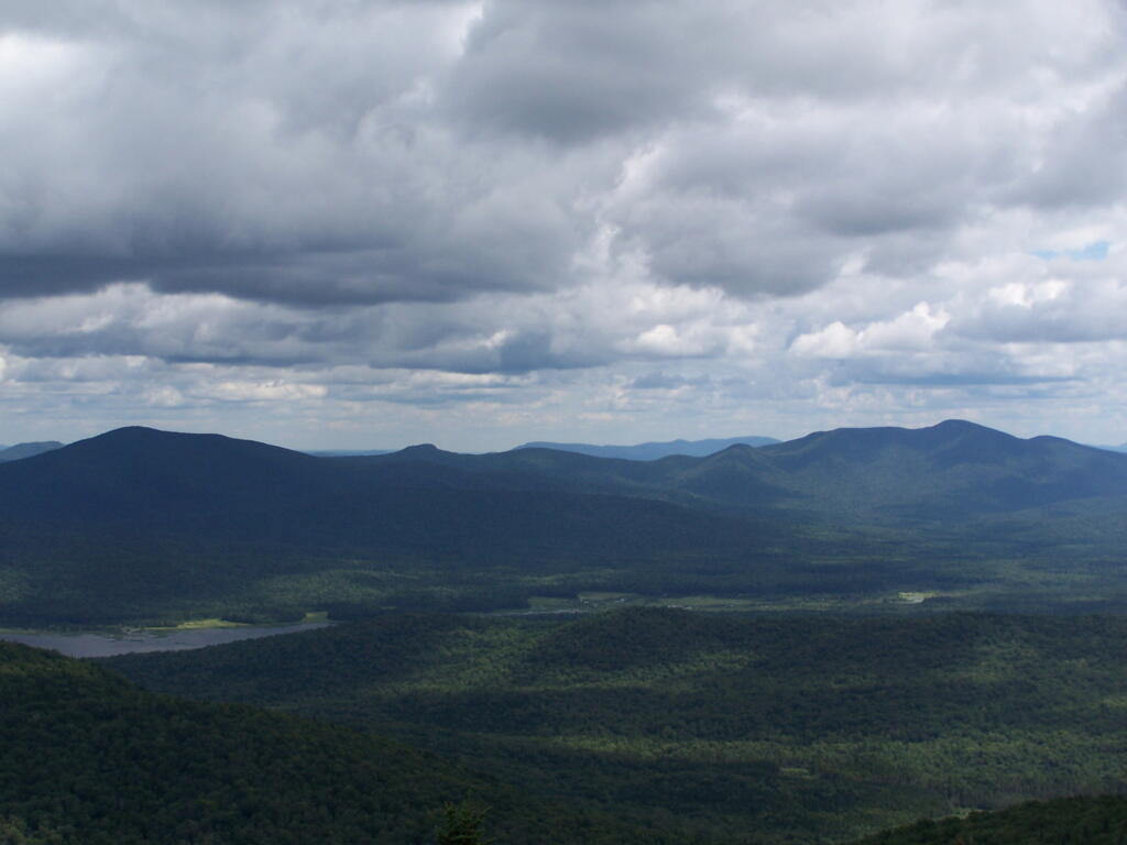
Driving Thru Moose River Plains
In preparation for my summer vacation I decided to drive through the Moose River Plains Wild Forest. This area has been subject to quite a bit of controversy over the years, in part from the environmentalists who do not believe “drive-in” camping is appropiate use of Adirondack Wild Forest, and most recently from the State DEC which threatened to close this 30 mile truck trail due to a lack of funds.
While my camera was broken while I was able to grab a few pictures. I will take more when I get back from my week up there.
Here is the route. The first 5 miles of Cedar Plains Road from Indian Lake is black top, and rapidly transitions to rough dirt road.
View Larger Map
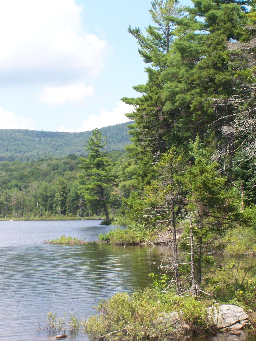
Around 7 miles in you reach the beautiful Wakely Pond, with Wakely Mountain in the background, where there is a fire tower up top..
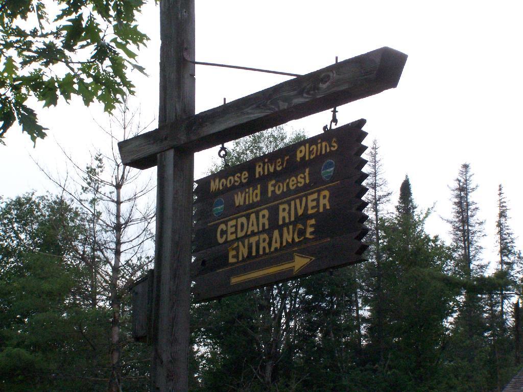
About 11 miles in you reach the Cedar River Flow, a big field camping area next to the dammed up Cedar River, creating a large man-made lake.
View Larger Map
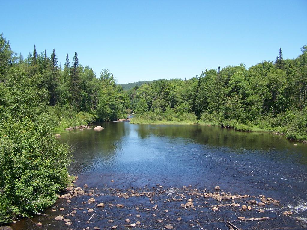
The beautiful Cedar River.
At the start of Moose River Road, there are two cabins and a sign in booth, along with the field camping that is popular with RVs.
View Larger Map
Along the next 20 miles of Moose River Plains Road, there are about 150 campsites, used by tent campers and RVs alike. Many are located far off the roads, and provide a great deal of privacy. The landscape is one of hills, mountains, and deep valleys, and then eventually becomes open sandy plains as you head east. It’s over an hour drive from here to Inlet, via a very rough state truck trail.
View Larger Map
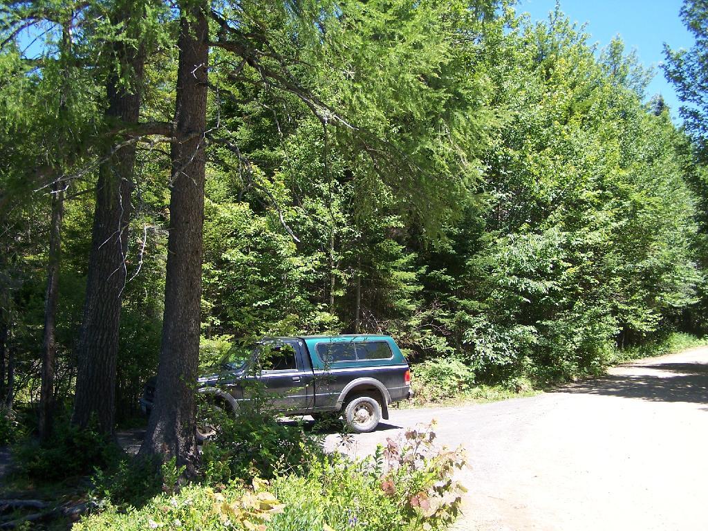
You really can’t drive much above 15 miles per hour, and sections of the road are washed out and one must avoid them.
More pictures to come after vacation…
