That loud bang was a surprise 💥
Propane hose had a leak this morning, a bubble started to form in it and before I could get the tank off it went bang. After a WTF moment, I shut off the tank and the let the burner burn off the remaining gas and breakfast continued to cook on the hot frying pan.
Not the only thing that caught fire 🔥 and leaked so far up at camp ⛺ either. Last night when I lit the lantern 🏮 apparently I didn’t have the top fitting screwed in tight and it leaked and caught fire. Used up a bunch of water trying putting it out, ultimately it went out when I grabbed my insulated gloves 🧤 and tightened the connection but not before melting part of the lower plastic surround. Just the decorative part doesn’t impact the ignition or the knob in it. I’ll trim the melted plastic with a knife 🗡.
Went for a ride along Old Route 8B last night. 🚲 Quiet evening, it was close to 9:30 when I got back to camp ⛺ and only barely needed the headlight on my bike. Saw a family of wild turkeys 🦃 driving up and while riding this evening spotted a nice looking buck. Sat down at the infamous Robbs Creek campsite for a while then road down to the lower bridge.
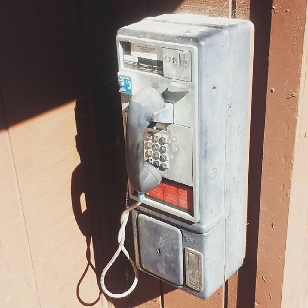
Disappointed that I have no cell service here 📱 as my phone seems to not have as good reception in many places as it once had. 🤫 While I like the quiet I was hoping to work remote from camp and make calls about that house I was looking at. I’m going to have to head to Spectulator sooner than I expected and maybe spend all day there, though some in the kayak 🛶 and beach 🏖 and not all that library working. 🖥 P